
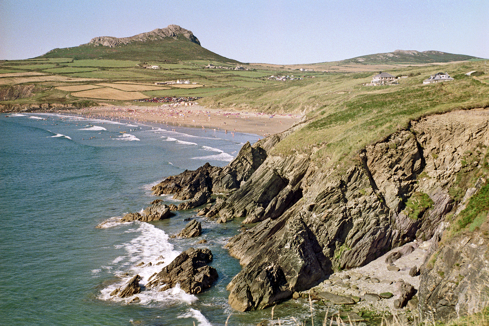
Pembrokeshire coast at Whitesands Bay near St David's

Routes / Trips

Driving the Coastal Way

3-day trip

Days3
Distance227mi
Driving8hours
Our routes4
Stops6
Nights3

The Coastal Way runs the length of Cardigan Bay for about 180 miles between Aberdaron and St Davids. We drive it north to south over three days, with the Llŷn peninsula, the Harlech coast, the Dyfi estuary and the Pembrokeshire coast as the big runs.

Three days and about 230 miles, with every road, stop and night chosen and mapped for you. Open it on your phone and it guides you all the way, even where there's no signal.

The Wales Way is Visit Wales' family of three national touring routes. This is our own version for keen drivers rather than an official itinerary. For the full route and a slower pace, see the Coastal Way on Visit Wales. New to Welsh roads? Read our guide to driving in Wales.

  1. Day 1Llŷn to Portmeirion58 mi
  2. Day 2Portmeirion to Aberystwyth93 mi
  3. Day 3Aberystwyth to St Davids76 mi

The climb

Every day end to end · highest point 259 m
Start · 0 miFinish · 227 mi
01
Day 1

Llŷn to Portmeirion

58 mi 2 h 03 driving 1 route

From Pwllheli, the road runs out to Aberdaron and the very end of the Llŷn peninsula, then back along the north coast to Nefyn. Cross the peninsula to Tremadog and Porthmadog for the short run to Portmeirion.

Tonight: the Hotel Portmeirion.

The road, in order

  1. 01
    The Llŷn peninsula Scenic road Pwllheli to Aberdaron and Nefyn
    37.0 mi
  2. Joining roads, mapped for you
    20.7 mi

Stops along the way

  1. Mynydd Mawr, Aberdaron Stops and sights

    The headland at the tip of Llŷn, looking out to Bardsey.

  2. Y Beudy Steakhouse, Tremadog Motoring cafés

    Motoring café at Tremadog.

02
Day 2

Portmeirion to Aberystwyth

93 mi 3 h 23 driving 2 routes

From Maentwrog, the Harlech coast runs south to Barmouth. Follow the Mawddach to Dolgellau, then take the coast by Tywyn and Aberdyfi round the Dyfi estuary to Machynlleth. The A487 finishes the day at the seafront in Aberystwyth.

Tonight: Gwesty Cymru, Aberystwyth.

The road, in order

  1. Joining roads, mapped for you
    8.3 mi
  2. 01
    The Harlech coast Scenic road Maentwrog to Barmouth
    21.9 mi
  3. Joining roads, mapped for you
    8.9 mi
  4. 02
    The Cambrian coast (A493) Scenic road Dolgellau by Aberdyfi to Machynlleth ⇄ the other way round
    36.0 mi
  5. Joining roads, mapped for you
    18.0 mi

Stops along the way

  1. Ynyshir Restaurants

    One of the most celebrated restaurants in Wales, by the Dyfi. Book well ahead.

  2. 19:30
    SY23, Aberystwyth Restaurants

    Dinner in Aberystwyth.

03
Day 3

Aberystwyth to St Davids

76 mi 2 h 21 driving 1 route

The A487 follows the bay south through Aberaeron to Cardigan. From there the Pembrokeshire coast road runs west by Fishguard and Porthgain to St Davids, for the cathedral and the end of the route.

Tonight: Twr y Felin Hotel, St Davids.

The road, in order

  1. Joining roads, mapped for you
    39.3 mi
  2. 01
    The Pembrokeshire coast Scenic road Cardigan to St Davids ⇄ the other way round
    36.4 mi
  3. Joining roads, mapped for you
    0.4 mi

Stops along the way

  1. 12:30
    Harbourmaster Places to stay

    Lunch on the harbour at Aberaeron.

  2. The Sloop Inn, Porthgain Restaurants

    A harbour pub at Porthgain, for a late break.

The live trip

Every day on one map, with turn by turn and offline maps for the hills