
The best driving roads in Wales
We have mapped 54 driving roads across Wales. These ten are where we would start, from fast open moorland to single-track mountain passes. Each one links to its full guide, with a live map, a climb profile and the hotels we would choose nearby.
-
The Evo Triangle (A5, B4501, A543)
Driving road North Wales · 23.0 mi · 45 min · summit 464 m
Pentrefoelas, Cerrigydrudion and the Denbigh Moors
A 23 mile lap of the A5, B4501 and A543 over the Denbigh Moors, with average speed cameras and a long history as a magazine test route.
-
The Black Mountain Pass ‘Top Gear Road’ (A4069)
Driving road South Wales · 12.5 mi · 25 min · summit 494 m
Brynamman to Llangadog
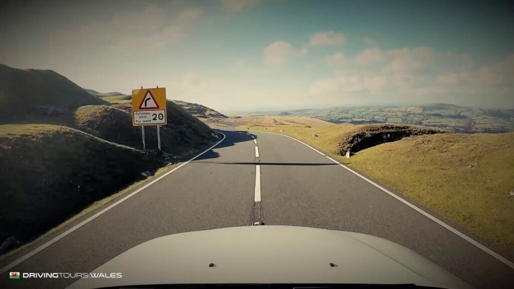
The A4069 over the western end of Bannau Brycheiniog, known to most drivers as the Top Gear Road, with the Tro Gwcw hairpin and average speed cameras.
-
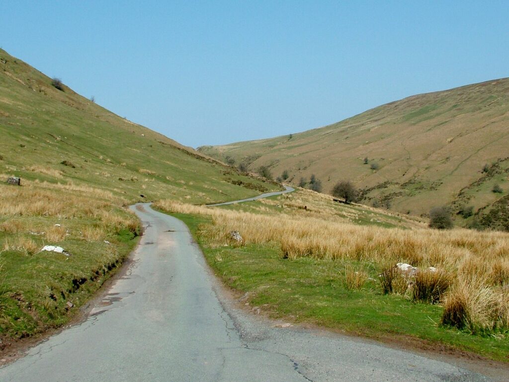
The Abergwesyn Pass and Devil’s Staircase
Scenic road Mid Wales · 19.1 mi · 40 min · summit 481 m
Llanwrtyd Wells to Tregaron
An old drovers' road over the Cambrian Mountains, 19 miles of single track with the 1 in 4 Devil's Staircase hairpins in the middle.
-
Bwlch y Groes (Hellfire Pass)
Scenic road North Wales · 18.3 mi · 35 min · summit 546 m
Dinas Mawddwy to Bala
The Pass of the Cross, also called Hellfire Pass: single track at 1 in 4 and the second-highest public road pass in Wales.
-
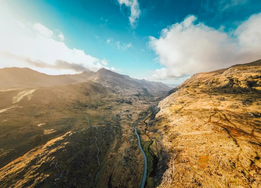
The Llanberis Pass (A4086)
Driving road North Wales · 23.6 mi · 45 min · summit 359 m
Betws-y-Coed to Caernarfon
The A5 and A4086 over Pen y Pass and down the rock-walled Llanberis Pass, the classic drive in Eryri (Snowdonia).
-
The Horseshoe Pass, Bwlch yr Oernant (A542)
Driving road North Wales · 15.2 mi · 30 min · summit 416 m
Llangollen to Ruthin
The A542 curls around the head of a valley above Llangollen, a favourite with bikers and car clubs, then runs on to Ruthin.
-
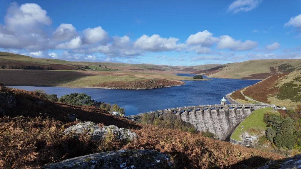
The Elan Valley and the mountain road
Scenic road Mid Wales · 25.8 mi · 50 min · summit 404 m
Rhayader to Devil’s Bridge
Four dams, empty uplands and the old mountain road to Devil's Bridge, 25.8 miles across the most remote part of Mid Wales.
-
The Gospel Pass, Bwlch yr Efengyl
Scenic road South Wales · 24.8 mi · 50 min · summit 551 m
Hay-on-Wye to Abergavenny
The highest road pass in Wales, a single-track lane over the Black Mountains and down the narrow Vale of Ewyas to Abergavenny.
-
The A4059 ‘RS Country’
Driving road South Wales · 17.1 mi · 35 min · summit 450 m
Brecon to Penderyn
The fast, open moorland road known as RS Country, reached from Brecon on the A470. Wide, quick and full of long sight lines.
-
The Cambrian coast (A493)
Scenic road Mid Wales · 36.0 mi · 70 min · summit 72 m
Machynlleth to Dolgellau by Aberdyfi
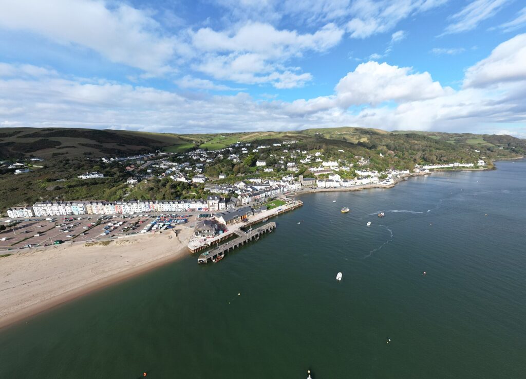
The A493 along the Dyfi estuary and Cardigan Bay, with Cadair Idris at the end and never more than 72 m above the sea.
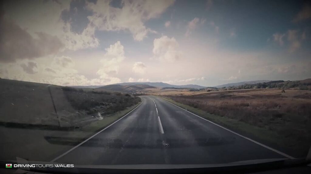
How we chose
This list is our judgement, not a scored ranking. We started from the 50 Welsh routes we have mapped and looked at what the route data says about each one: length, summit, total climb and road class. Then we picked the ten we would send a keen driver to first.
We wanted a range, so the ten are not all the same kind of road. The Evo Triangle and the Black Mountain Pass are the famous ones, and both now have average speed cameras, so you go for the flow and not for speed. Bwlch y Groes and the Abergwesyn Pass are single track and want patience. The Cambrian coast is on the list because it stays low and still works when the passes are shut.
The numbers come from our own route data, so they can differ a little from published figures. We measure the Gospel Pass at 551 m, and the figure usually quoted from the Ordnance Survey map is 549 m. It is the highest road pass in Wales on either number. Cameras and limits were last checked on 5 November 2026, but the signs on the road always win. We class each road as a Driving road or a Scenic road, so check that before you take something low over a Scenic road.
All 68 routes
All 50 Welsh routes, plus the 18 we have mapped in the Borders, the Cotswolds and Somerset, with class, length, time and summit from the route data.
North Wales
| Road | Class | Length | Time | Summit |
|---|---|---|---|---|
| Bwlch Penbarras and the Clwydian Range | Scenic road | 5.5 mi | 10 min | 360 m |
| Bwlch y Groes (Hellfire Pass) | Scenic road | 18.3 mi | 35 min | 546 m |
| Nant Gwynant and the Aberglaslyn Pass | Driving road | 15.6 mi | 30 min | 294 m |
| The A494 by Llyn Tegid | Driving road | 17.3 mi | 35 min | 234 m |
| The A5 through the Ogwen valley | Driving road | 23.0 mi | 45 min | 315 m |
| The Anglesey coast | Scenic road | 28.8 mi | 60 min | 124 m |
| The B4391 over Milltir Gerrig | Driving road | 12.7 mi | 25 min | 486 m |
| The Crimea Pass | Driving road | 13.2 mi | 25 min | 386 m |
| The Evo Triangle (A5, B4501, A543) | Driving road | 23.0 mi | 45 min | 464 m |
| The Great Orme and the Conwy valley | Scenic road | 26.2 mi | 50 min | 153 m |
| The Harlech coast | Scenic road | 21.9 mi | 45 min | 208 m |
| The Horseshoe Pass, Bwlch yr Oernant (A542) | Driving road | 15.2 mi | 30 min | 416 m |
| The Llanberis Pass (A4086) | Driving road | 23.6 mi | 45 min | 359 m |
| The Llŷn peninsula | Scenic road | 37.0 mi | 75 min | 259 m |
| The Migneint | Driving road | 19.6 mi | 40 min | 461 m |
| The Nantlle valley | Scenic road | 10.8 mi | 20 min | 247 m |
Mid Wales
| Road | Class | Length | Time | Summit |
|---|---|---|---|---|
| A Cambrian Mountains loop | Scenic road | 61.1 mi | 120 min | 481 m |
| Lake Vyrnwy | Scenic road | 18.2 mi | 35 min | 337 m |
| Over Talerddig | Driving road | 31.8 mi | 65 min | 287 m |
| Over the Epynt ranges, part two | Driving road | 7.9 mi | 15 min | 276 m |
| Over the Epynt ranges | Driving road | 6.8 mi | 15 min | 440 m |
| Tal-y-llyn and Bwlch Oerddrws | Scenic road | 22.7 mi | 45 min | 363 m |
| The A40 through Cwm Gwydderig | Driving road | 7.7 mi | 15 min | 231 m |
| The A44 over Llandegley | Driving road | 7.8 mi | 15 min | 390 m |
| The A44 over Pumlumon | Driving road | 24.4 mi | 50 min | 417 m |
| The A481 | Driving road | 11.7 mi | 25 min | 381 m |
| The A482 through the Cothi valley | Driving road | 15.0 mi | 30 min | 313 m |
| The A483 by the Sugar Loaf | Driving road | 23.8 mi | 50 min | 289 m |
| The A483 through the Ithon valley | Driving road | 20.7 mi | 40 min | 376 m |
| The A487 by the Dyfi | Driving road | 18.8 mi | 40 min | 136 m |
| The Abergwesyn Pass and Devil’s Staircase | Scenic road | 19.1 mi | 40 min | 481 m |
| The B4355 over Kerry Hill | Driving road | 9.1 mi | 20 min | 470 m |
| The B4519 across the Epynt ranges | Driving road | 6.3 mi | 15 min | 455 m |
| The B4520 over Mynydd Epynt | Driving road | 7.9 mi | 15 min | 419 m |
| The Cambrian coast (A493) | Scenic road | 36.0 mi | 70 min | 72 m |
| The Elan Valley and the mountain road | Scenic road | 25.8 mi | 50 min | 404 m |
| The mountain road | Scenic road | 23.9 mi | 50 min | 513 m |
| The Rheidol road | Scenic road | 13.8 mi | 30 min | 303 m |
| The upper Wye on the A470 | Driving road | 22.2 mi | 45 min | 296 m |
West Wales
| Road | Class | Length | Time | Summit |
|---|---|---|---|---|
| Over the Preseli hills | Driving road | 25.9 mi | 50 min | 407 m |
| The Pembrokeshire coast | Scenic road | 36.4 mi | 75 min | 187 m |
South Wales
| Road | Class | Length | Time | Summit |
|---|---|---|---|---|
| Gower | Scenic road | 17.2 mi | 35 min | 113 m |
| Over Devauden | Scenic road | 13.0 mi | 25 min | 254 m |
| Over the Beacons on the A470 | Driving road | 19.6 mi | 40 min | 440 m |
| Talybont and the Neuadd valley | Scenic road | 11.8 mi | 25 min | 440 m |
| The A4059 ‘RS Country’ | Driving road | 17.1 mi | 35 min | 450 m |
| The Afan valley | Driving road | 11.1 mi | 20 min | 530 m |
| The B4560 over Llangynidr Mountain | Driving road | 8.3 mi | 15 min | 518 m |
| The Black Mountain Pass ‘Top Gear Road’ (A4069) | Driving road | 12.5 mi | 25 min | 494 m |
| The Cray and the upper Tawe | Driving road | 16.6 mi | 35 min | 381 m |
| The Gospel Pass, Bwlch yr Efengyl | Scenic road | 24.8 mi | 50 min | 551 m |
| The Rhigos and the Bwlch | Driving road | 22.6 mi | 45 min | 530 m |
| The Tumble | Driving road | 3.1 mi | 10 min | 482 m |
| The Wye Valley | Scenic road | 16.9 mi | 35 min | 145 m |
Over the border
| Road | Class | Length | Time | Summit |
|---|---|---|---|---|
| Over Clee Hill | Driving road | 10.3 mi | 20 min | 381 m |
| Ramshaw Rocks and Axe Edge | Driving road | 12.8 mi | 25 min | 499 m |
| The A44 into Wales | Driving road | 47.2 mi | 95 min | 304 m |
| The A465 below the Black Mountains | Driving road | 5.7 mi | 10 min | 116 m |
| The B4224 along the Wye | Scenic road | 14.6 mi | 30 min | 162 m |
| The Cat and Fiddle | Driving road | 11.1 mi | 20 min | 515 m |
| The Clun valley | Scenic road | 12.8 mi | 25 min | 359 m |
| The Forest of Dean | Scenic road | 5.8 mi | 10 min | 239 m |
| The Golden Valley | Scenic road | 14.8 mi | 30 min | 177 m |
| The Long Mynd | Scenic road | 4.4 mi | 10 min | 488 m |
| The Malvern Hills | Scenic road | 8.0 mi | 15 min | 271 m |
| Wenlock Edge | Scenic road | 12.5 mi | 25 min | 267 m |
Cotswolds
| Road | Class | Length | Time | Summit |
|---|---|---|---|---|
| A Cotswolds loop | Scenic road | 25.9 mi | 50 min | 235 m |
| The Clarkson’s Farm loop | Scenic road | 64.7 mi | 130 min | 244 m |
| The Cotswold escarpment | Scenic road | 59.2 mi | 120 min | 297 m |
Somerset
| Road | Class | Length | Time | Summit |
|---|---|---|---|---|
| Burrington Combe and Cheddar Gorge | Scenic road | 10.6 mi | 20 min | 277 m |
| The A368 under the Mendips | Driving road | 10.5 mi | 20 min | 119 m |
| The B3135 through Cheddar Gorge | Scenic road | 9.9 mi | 20 min | 282 m |
| The Mendip loop | Scenic road | 20.1 mi | 40 min | 278 m |
Join the roads together
Want more than one road? Our multi-day trips follow Visit Wales' national touring routes, the North Wales Way, the Cambrian Way and the Coastal Way, with a hotel for each night. New to Welsh roads? Read our guide to driving in Wales.
Quick answers
- What is the best driving road in Wales?
- We would start with The Evo Triangle (A5, B4501, A543), then The Black Mountain Pass ‘Top Gear Road’ (A4069) and The Abergwesyn Pass and Devil’s Staircase. They are the three we would send any keen driver to first.
- How many driving roads are there on Drive Tour Wales?
- We have mapped 54 driving routes in Wales, each with its distance, summit, climb profile, speed limits and a live map.
- What is the highest driving road in your Welsh collection?
- The Gospel Pass, Bwlch yr Efengyl, which reaches 551 metres.
- What is the longest route in your Welsh collection?
- A Cambrian Mountains loop, at 61.1 miles.
- What is the difference between a Driving road and a Scenic road?
- A Driving road is well surfaced and built for rewarding driving. A Scenic road is slower, narrower and more scenic, and rough in places, so not the best for low, stiff performance cars.
- How did you choose the best driving roads in Wales?
- By judgement, using our own route data on length, summit, climb and road class, and looking for a range of road types. It is not a scored ranking.
- Why do you mention both 50 and 68 roads?
- We have mapped 50 routes in Wales and 18 more over the border, including the Cotswolds and Somerset. That makes 68 in the whole collection.
- Which Welsh driving roads have average speed cameras?
- Two on this list do: the Evo Triangle and the Black Mountain Pass (A4069). Check each road's page for details, and follow the signs on any road.