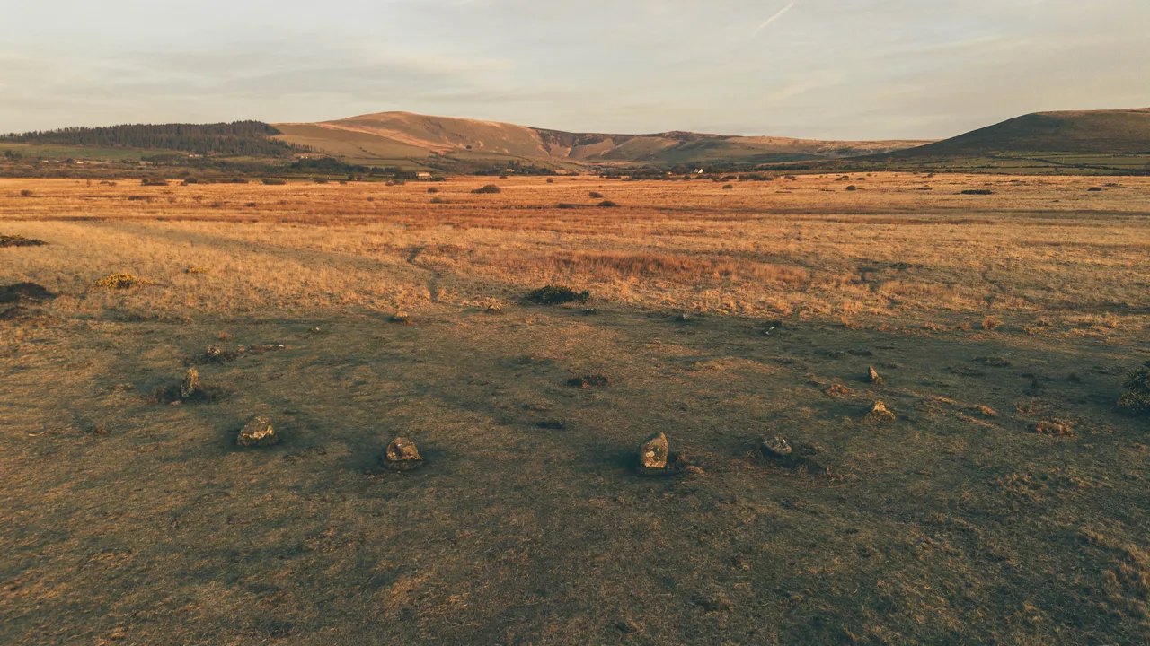
The Preseli hills

Routes / West Wales

Over the Preseli hills

Driving road B4329 Haverfordwest to Newport

Distance25.9mi
Drive time50min
Summit407m
Total climb809m
Limits30–60mph
RegionWest

Driving road Built for driving: well surfaced and rewarding behind the wheel.

The road over the Preseli hills is the B4329, historically the main road between Cardigan and Haverfordwest. It runs north from Haverfordwest over Mynydd Preseli to the A487 near Eglwyswrw, and our line carries on to the little harbour town of Newport. Our 25.9 mile line tops out at 407 m, close to the 404 m usually quoted for the summit at Bwlch-gwynt, the windy gap.

Leave Haverfordwest heading north on the B4329, which climbs gradually through farmland, past the Tufton Arms at Tufton, and onto the open moor of Mynydd Preseli. Past the turning for Rosebush, an old slate-quarry village with its reservoir in the forest, the road reaches the high ground. The summit section crosses the moor at Bwlch-gwynt, with views west to St Davids Head and north to Cardigan Bay. The road was turnpiked in 1790, and it still feels like a coaching road, broad and steady over the top.

These hills are where the bluestones of Stonehenge were quarried, with current thinking pointing to several sources on the northern flanks, such as Craig Rhos-y-felin. The highest point of the range is Foel Cwmcerwyn at 536 m, and the Golden Road, an ancient 8 mile track, runs along the ridge. The road descends to Eglwyswrw, where the A487 leads west to Newport. We drive it north, so the moor and the sea come ahead of you.

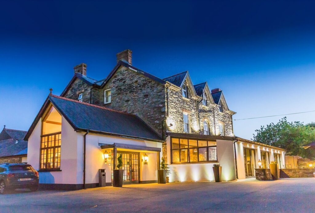
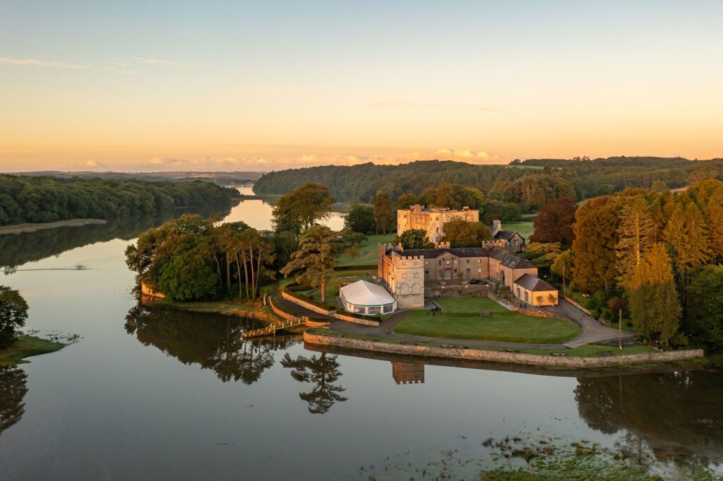
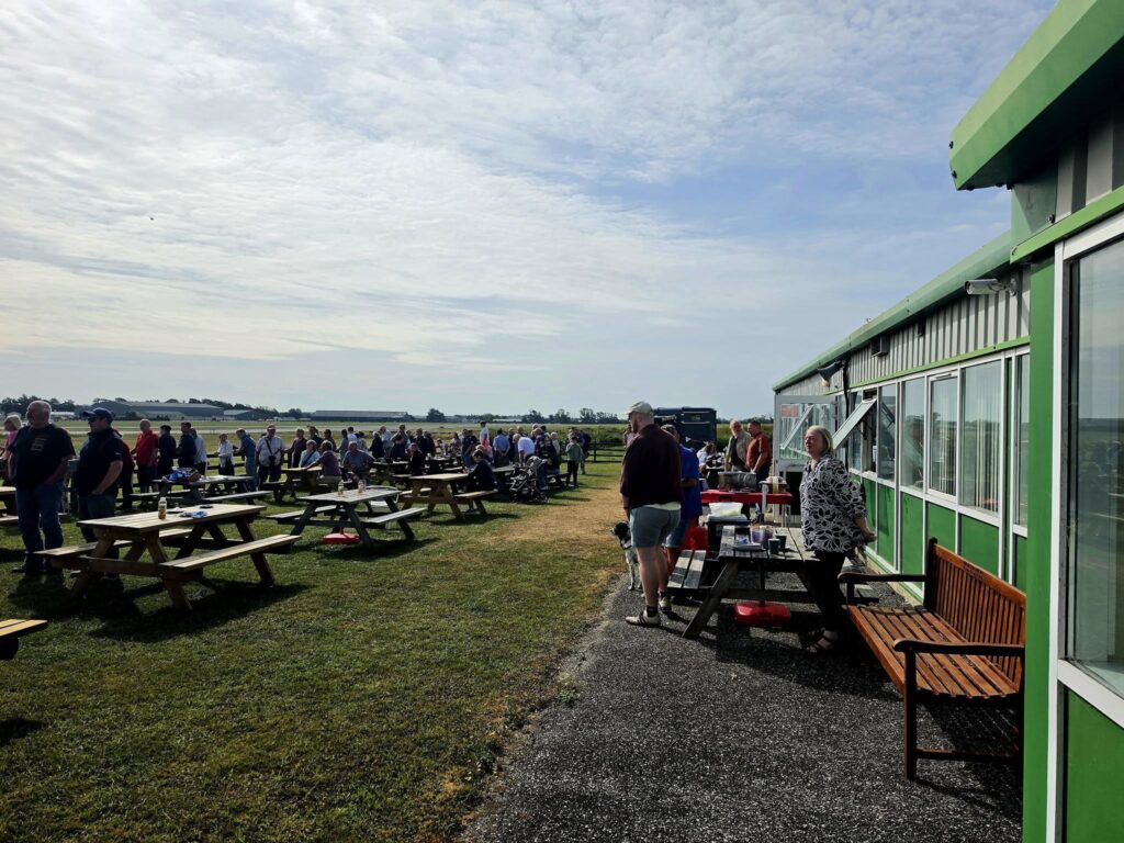
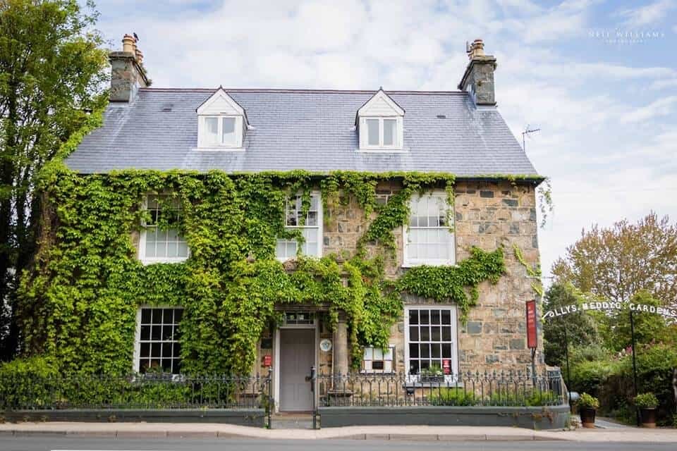
Stay in Newport at Llys Meddyg, a Georgian townhouse restaurant with rooms beneath Carningli, or at the southern end at Wolfscastle or Slebech Park. Before you leave Haverfordwest, Propellers Café at Withybush airfield is the riders’ meeting point. From Newport, the Pembrokeshire coast route runs west to St Davids and east to Cardigan.

Good to know

  1. 01
    Exposed and often misty on the tops. Livestock graze unfenced.
  2. 02
    The B4329 is a county road, so check closures with Pembrokeshire County Council rather than Traffic Wales.
  3. 03
    Pentre Ifan, a huge Neolithic burial chamber, is a short detour near Newport. Cadw’s own site gives free entry, opening from 10am to 4pm, and parking in a lay-by at the entrance.
  4. 04
    The hills lie mostly inside the Pembrokeshire Coast National Park, so expect walkers on the open moor.
  5. 05
    Pick up the Pembrokeshire coast route from Newport to St Davids or Cardigan.

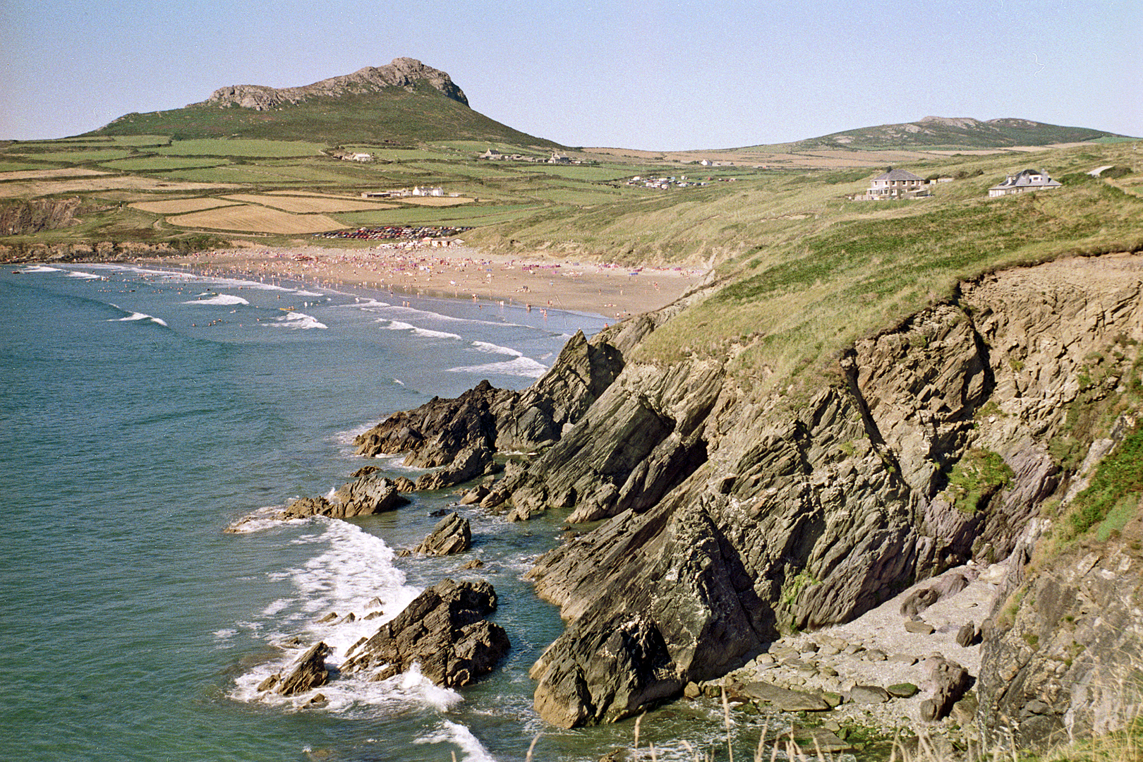
Photo: The Preseli hills, © Crown copyright, Visit Wales
The climb

6 m to 407 m · summit at 14.0 mi
Start · 0 miFinish · 25.9 mi

Up top today

Forecast at the summit, 407 m · updated 04:06
Take care

Rain on the top

Best between 15:00 and 17:00. Take the high section gently outside it.

Now
Rain
Air
7°C
Wind
20mph W
Road
Wet
Golden hour · This morning

07:22to08:40

Sunrise 07:52 · Likely lost in cloud
  1. Today Take care 7–9°C · wind to 26 mph · 6 mm rain · rain
  2. Tomorrow Give it a miss 3–8°C · wind to 10 mph · 3 mm rain · thick fog
  3. Friday Good day 4–7°C · wind to 14 mph · dry

Forecast from MET Norway, refreshed hourly. Mountain weather turns fast: check before you set off.

The live map

Turns, cameras, viewpoints and stops along the road

Quick answers

How long is Over the Preseli hills?
Over the Preseli hills is 25.9 miles from Haverfordwest to Newport and takes about 50 minutes to drive without stopping.
How high does Over the Preseli hills go?
It reaches 407 metres (1,335 feet) at its highest point, with 809 metres of climbing along the way.
What is the speed limit on Over the Preseli hills?
Limits along the route are 30–60 mph. Always follow the signs on the road, as Welsh limits can change.
What kind of car suits Over the Preseli hills?
We class it as a Driving road. Built for driving: well surfaced and rewarding behind the wheel.
Where should I stay near Over the Preseli hills?
The graded hotels we would choose near this road are Llys Meddyg, Wolfscastle Country Hotel & Spa and Slebech Park Estate.
What road crosses the Preseli hills?
The B4329, historically the main road between Cardigan and Haverfordwest. It runs 19 miles from Haverfordwest to the A487 near Eglwyswrw.
How high is the Preseli road at Bwlch-gwynt?
The summit at Bwlch-gwynt is usually quoted at 404 m. Our line tops out at 407 m.
What does Bwlch-gwynt mean?
Bwlch-gwynt is Welsh for windy gap, the pass where the B4329 crosses the top of the Preseli hills.
Did the Stonehenge bluestones come from the Preseli hills?
Yes. Current geological work points to several sources on the northern flanks of the hills, such as Craig Rhos-y-felin.

Read more about this road

The Logbook →

Graded hotels within easy reach of the road, the four and five stars first.

Stop along the way

All stops on the map →
Pembrokeshire coast at Whitesands Bay near St David's
Next road · West Wales

The Pembrokeshire coast

St Davids to Cardigan · 36.4 mi Drive it next →