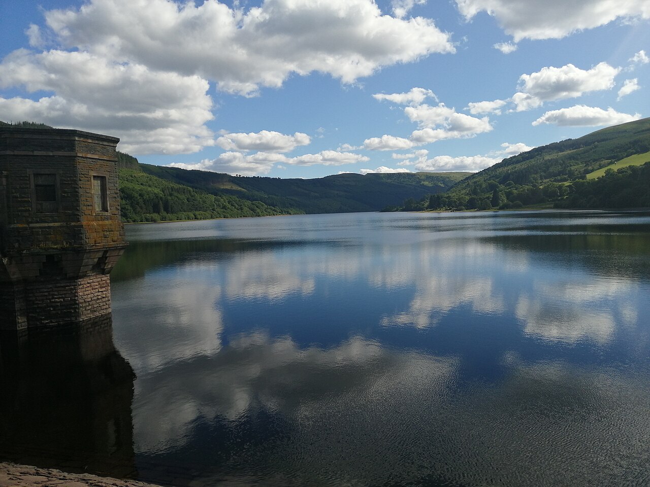
Talybont Reservoir View

Routes / South Wales

Talybont and the Neuadd valley

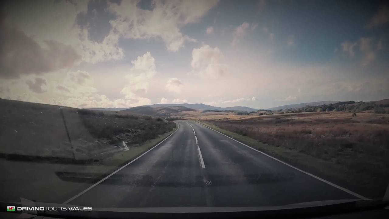
Scenic road Talybont-on-Usk to Pontsticill

Distance11.8mi
Drive time25min
Summit440m
Total climb479m
Limits–mph
RegionSouth

Scenic road Slower, narrower and more scenic. Rough in places, so not the best for low, stiff performance cars.

Talybont and the Neuadd valley is the mountain lane from Talybont-on-Usk, a canal-side village in the Usk valley, south past Talybont Reservoir and over the pass at Torpantau to Pontsticill. Our 11.8 mile line runs from Talybont-on-Usk to Pontsticill and tops out at 440 m at Torpantau.

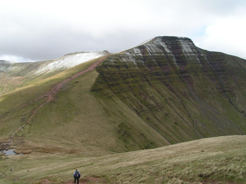
The narrow road climbs beside Talybont Reservoir, its dam at the head of a long wooded valley. The reservoir covers 318 acres, the largest stillwater in the central Beacons, and has supplied Newport since 1939. The road then climbs through forest to Torpantau, the highest station on the old Brecon and Merthyr railway, and the start of the walk up to the Neuadd reservoirs and the quiet side of Pen y Fan.

Over the top it descends past the Pentwyn and Pontsticill reservoirs to Pontsticill. Pontsticill Reservoir, also called Taf Fechan, was completed in 1927. The Brecon Mountain Railway runs steam trains from Pant along its full length to Torpantau, where the station reopened in 2014. We would drive it north to south, so the reservoir is beside you on the climb and the views open out over the Taf Fechan on the way down. Taken the other way, from Pontsticill, the climb to Torpantau is steeper and the reservoir view comes as a reveal on the descent.

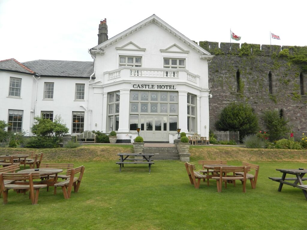
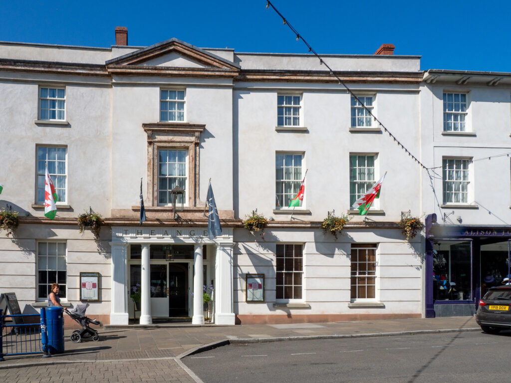
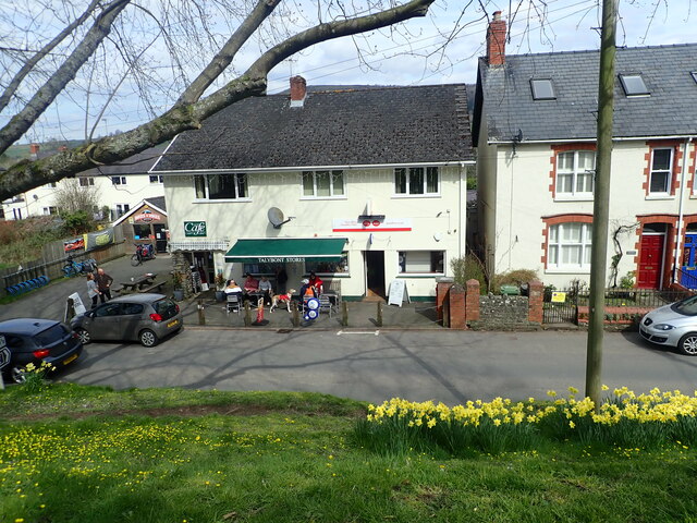
Before you set off, Talybont Stores Canalside Café is the village shop and café beside the canal, and the obvious place for a coffee before the climb starts. Stay at Peterstone Court above the Usk or the Castle of Brecon Hotel. From Pontsticill, join the A470 over the Beacons for the run back north past the Pont ar Daf car park, or cross the Usk for the B4560 over Llangynidr Mountain.

Good to know

  1. 01
    Narrow, with passing places, and shared with cyclists on the Taff Trail. Give them room.
  2. 02
    Torpantau car park is free but small.
  3. 03
    This is a scenic road rather than a fast one, and rough in places. Low, stiff performance cars are better on the A470.
  4. 04
    The road runs through Powys and Merthyr Tydfil, so check with both councils, not Traffic Wales, for closures in snow or ice.
  5. 05
    Join the A470 at Merthyr for the run back north over the Beacons.

Photo: Talybont Reservoir View by Chiefmakni, CC BY-SA 4.0
The climb

112 m to 440 m · summit at 7.6 mi
Start · 0 miFinish · 11.8 mi

Up top today

Forecast at the summit, 440 m · updated 04:07
Take care

Rain on the top

Drive it, but take the high section gently.

Now
Light rain
Air
7°C
Wind
13mph SW
Road
Wet
Golden hour · This morning

07:16to08:34

Sunrise 07:46 · Likely lost in cloud
  1. Today Take care 6–9°C · wind to 16 mph · 7 mm rain · rain
  2. Tomorrow Give it a miss 4–7°C · wind to 6 mph · 3 mm rain · thick fog
  3. Friday Take care 5–6°C · wind to 10 mph · dry · thick fog

Forecast from MET Norway, refreshed hourly. Mountain weather turns fast: check before you set off.

The live map

Turns, cameras, viewpoints and stops along the road

Quick answers

How long is Talybont and the Neuadd valley?
Talybont and the Neuadd valley is 11.8 miles from Talybont-on-Usk to Pontsticill and takes about 25 minutes to drive without stopping.
How high does Talybont and the Neuadd valley go?
It reaches 440 metres (1,444 feet) at its highest point, with 479 metres of climbing along the way.
What kind of car suits Talybont and the Neuadd valley?
We class it as a Scenic road. Slower, narrower and more scenic. Rough in places, so not the best for low, stiff performance cars.
Where should I stay near Talybont and the Neuadd valley?
The graded hotels we would choose near this road are Peterstone Court Country House & Spa, Castle of Brecon Hotel and The Angel Hotel, Abergavenny.
How do you drive to Talybont Reservoir?
A narrow road runs south from Talybont-on-Usk beside the reservoir and over the pass at Torpantau to Pontsticill near Merthyr Tydfil.
Where do you park for the Neuadd reservoirs?
Torpantau, at the top of the pass, is the start of the walk to the Neuadd reservoirs. The car park is free but small.
How high is the road at Torpantau?
Our line tops out at 440 m at Torpantau, the pass between the Talybont and Pontsticill valleys.
When was Talybont Reservoir built?
Work on the dam began in 1931 and the reservoir began supplying Newport with water in 1939. Welsh Water now owns it.

Read more about this road

The Logbook →

Graded hotels within easy reach of the road, the four and five stars first.

Stop along the way

All stops on the map →
The A4059 ‘RS Country’: Brecon to Penderyn
Next road · South Wales

The A4059 ‘RS Country’

Brecon to Penderyn · 17.1 mi Drive it next →