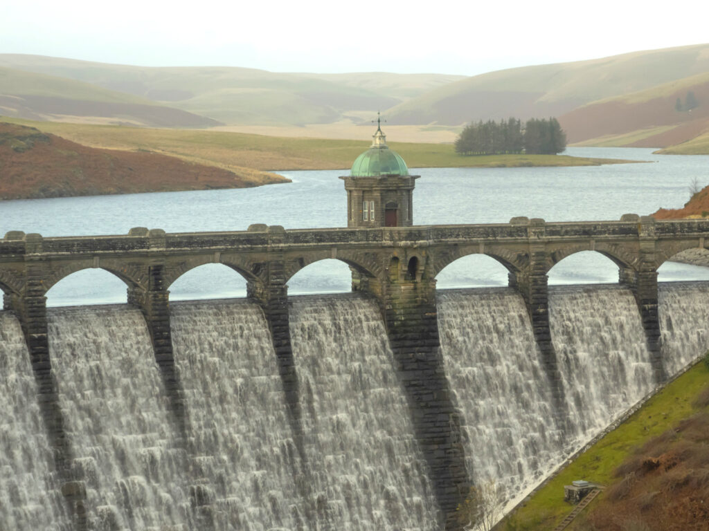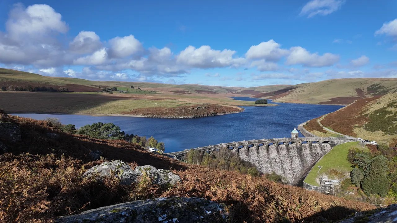
Elan Valley reservoir and dam

Routes / Mid Wales

The Elan Valley and the mountain road

Scenic road B4518 Rhayader to Devil’s Bridge

Distance25.8mi
Drive time50min
Summit404m
Total climb824m
Limits–mph
RegionMid

Scenic road Slower, narrower and more scenic. Rough in places, so not the best for low, stiff performance cars.

This is 25.8 miles from Rhayader to Devil’s Bridge: past the four Elan Valley dams, then over the old mountain road. It takes about 50 minutes without stops, reaches 404 m, and has 824 m of climbing, more than any other road on our top ten list. Fuel is the first thing to sort out, because there is none between the two ends.

West of Rhayader you take the B4518 for about 3.5 miles and then follow the water up the valley. The Elan Valley Trust lists four dams on the Elan. Going up the valley you pass Caban Coch, then Garreg Ddu, which is submerged and carries a road across on pillars, then Pen y Garreg, and Craig Goch at the top. All were built with a 73 mile aqueduct to take clean water to Birmingham. The bigger Claerwen dam, up the side valley over Garreg Ddu, was opened by the Queen in October 1952.

Stop first at the visitor centre below Caban Coch, and later at Craig Goch, 317 m above sea level, with its curved face and arches. After that the road is on its own: wide open, almost empty uplands to Cwmystwyth with nothing but sheep and red kites, then past the old lead mines into the Ystwyth valley and the B4574 for the last 3.5 miles or so.

We would drive it east to west, as the line does. You get the valley first, in the morning light, then the empty section, and you end at Devil’s Bridge where three bridges are stacked above the falls. Woodlands Café there is seasonal, from mid March to late October. From Devil’s Bridge, the Rheidol road runs on to Aberystwyth and the A44 over Pumlumon heads back east.

Good to know

  1. 01
    There is no fuel between Rhayader and Devil’s Bridge. Fill up in Rhayader, where our fuel map shows two forecourts. Next is BP at Ponterwyd, a few miles past the finish.
  2. 02
    Mobile signal is patchy to none on the mountain road. Download the GPX before you go.
  3. 03
    If you are in an EV, charge first. The nearest rapid charger on our map is at Llandrindod Wells, about 7 miles from Rhayader in a straight line.
  4. 04
    Red kites are fed at Gigrin Farm on the edge of Rhayader.

Photo: Elan Valley reservoir and dam, © Crown copyright, Visit Wales
The climb

185 m to 404 m · summit at 16.4 mi
Start · 0 miFinish · 25.8 mi

Up top today

Forecast at the summit, 404 m · updated 02:14
Take care

Rain on the top

Drive it, but take the high section gently.

Now
Rain
Air
6°C
Wind
13mph SW
Road
Wet
Golden hour · This morning

07:18to08:38

Sunrise 07:48 · Likely lost in cloud
  1. Today Take care 6–7°C · wind to 18 mph · 8 mm rain · rain
  2. Tomorrow Give it a miss 4–7°C · wind to 11 mph · 4 mm rain · thick fog
  3. Friday Take care 4–4°C · wind to 14 mph · dry · thick fog

Forecast from MET Norway, refreshed hourly. Mountain weather turns fast: check before you set off.

The live map

Turns, cameras, viewpoints and stops along the road

Quick answers

How long is The Elan Valley and the mountain road?
The Elan Valley and the mountain road is 25.8 miles from Rhayader to Devil’s Bridge and takes about 50 minutes to drive without stopping.
How high does The Elan Valley and the mountain road go?
It reaches 404 metres (1,325 feet) at its highest point, with 824 metres of climbing along the way.
What kind of car suits The Elan Valley and the mountain road?
We class it as a Scenic road. Slower, narrower and more scenic. Rough in places, so not the best for low, stiff performance cars.
Where should I stay near The Elan Valley and the mountain road?
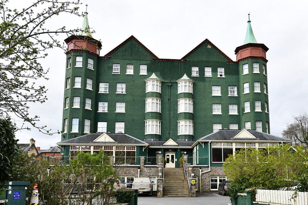
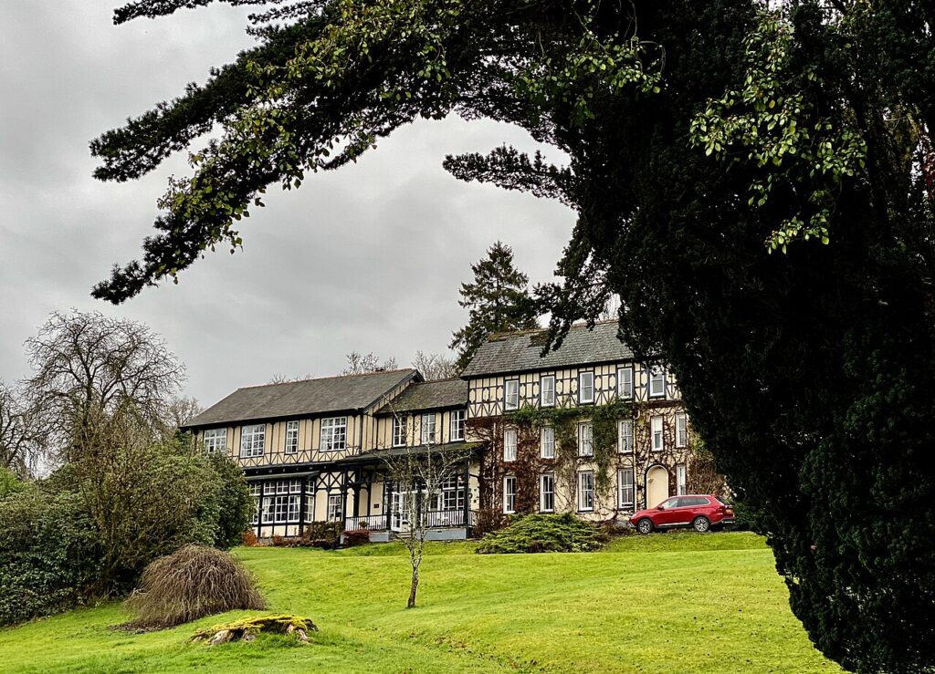
The graded hotels we would choose near this road are Gwesty Cymru, Aberystwyth, The Metropole Hotel & Spa and The Lake Country House & Spa.
How many dams are there in the Elan Valley?
There are four on the River Elan: Caban Coch, Garreg Ddu, Pen y Garreg and Craig Goch. The Claerwen dam is in the neighbouring valley, and an unfinished dam, Dol y Mynach, is below it.
Why were the Elan Valley dams built?
To supply clean water to Birmingham, through a 73 mile aqueduct. The Elan dams were built more than a hundred years ago.
Can you drive from the Elan Valley to Devil's Bridge?
Yes. The old mountain road runs from above Craig Goch to Cwmystwyth, and the B4574 goes on to Devil's Bridge. There is no fuel on the way.
Where should I fill up before the Elan Valley?
In Rhayader. Our fuel map shows two forecourts there and nothing else until Ponterwyd, past the end of the route.

Read more about this road

The Logbook →

Graded hotels within easy reach of the road, the four and five stars first.

Stop along the way

All stops on the map →
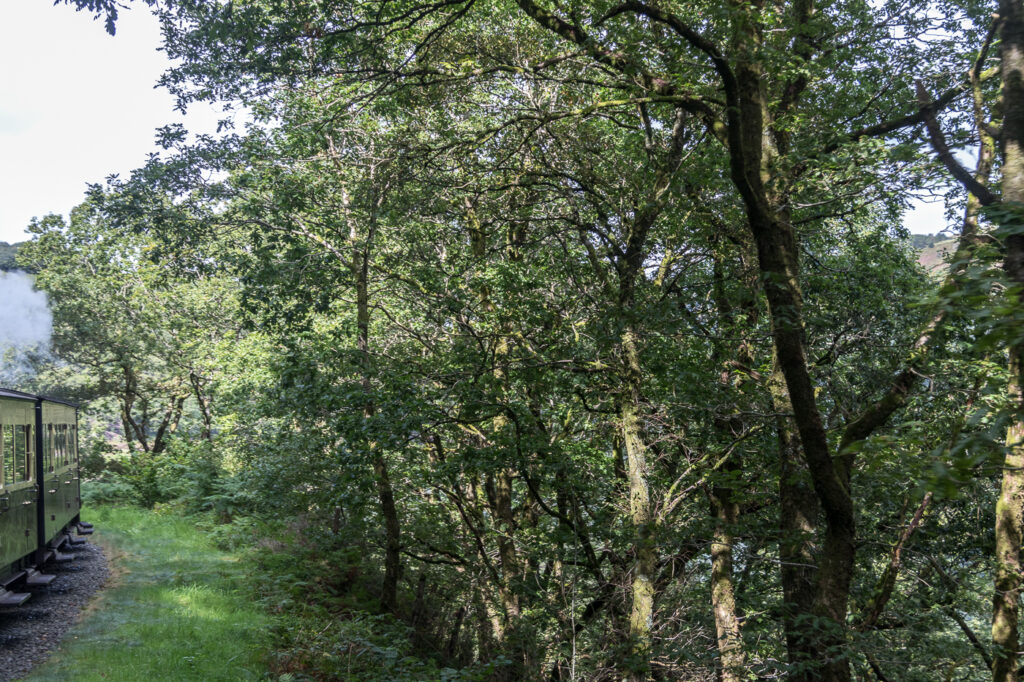
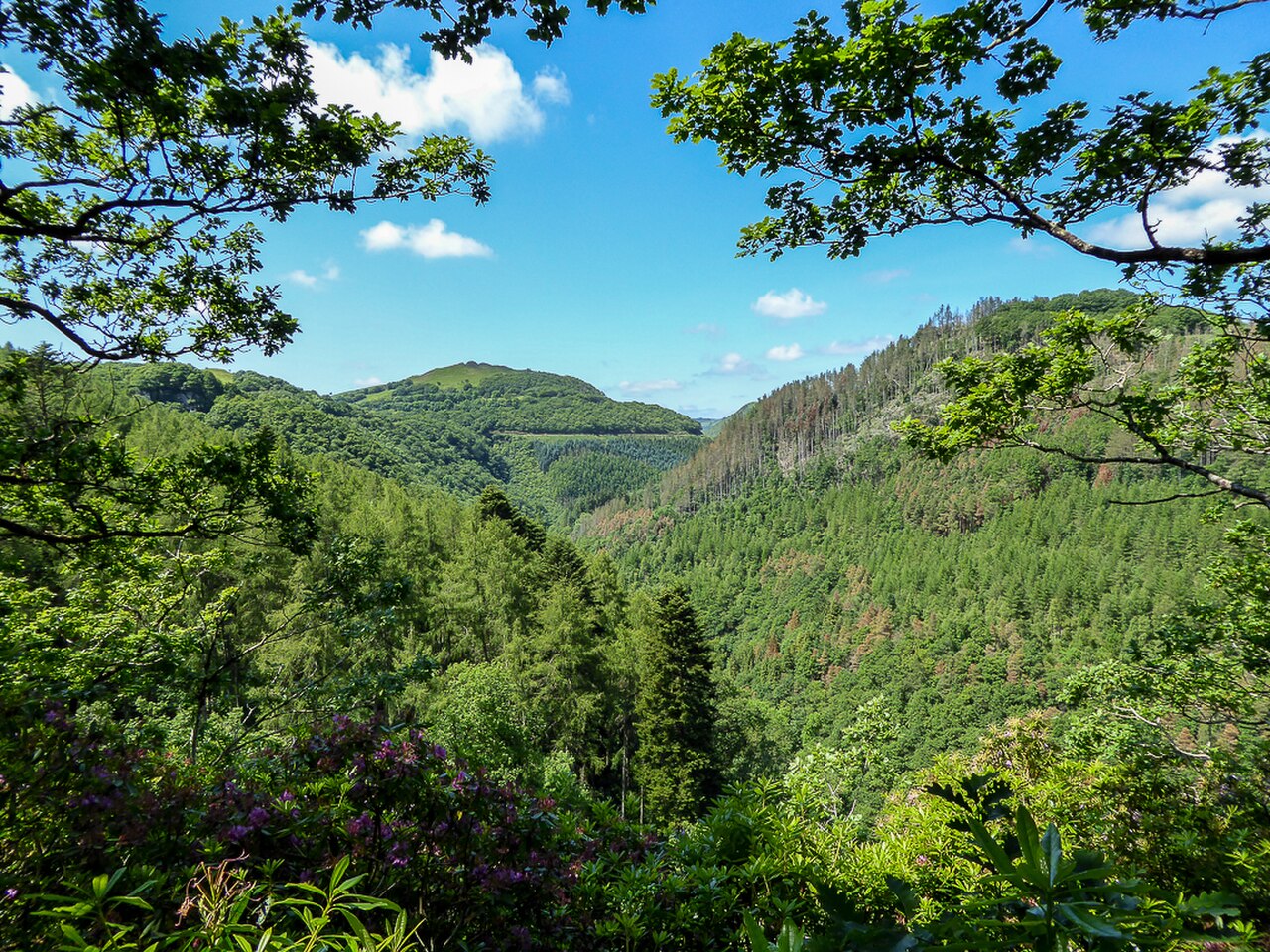
Afon Rheidol Valley as seen from the Woodland Walk, Devil's Bridge - geograph.org.uk - 4041643
Next road · Mid Wales

The Rheidol road

Ponterwyd to Aberystwyth by Devil’s Bridge · 13.8 mi Drive it next →