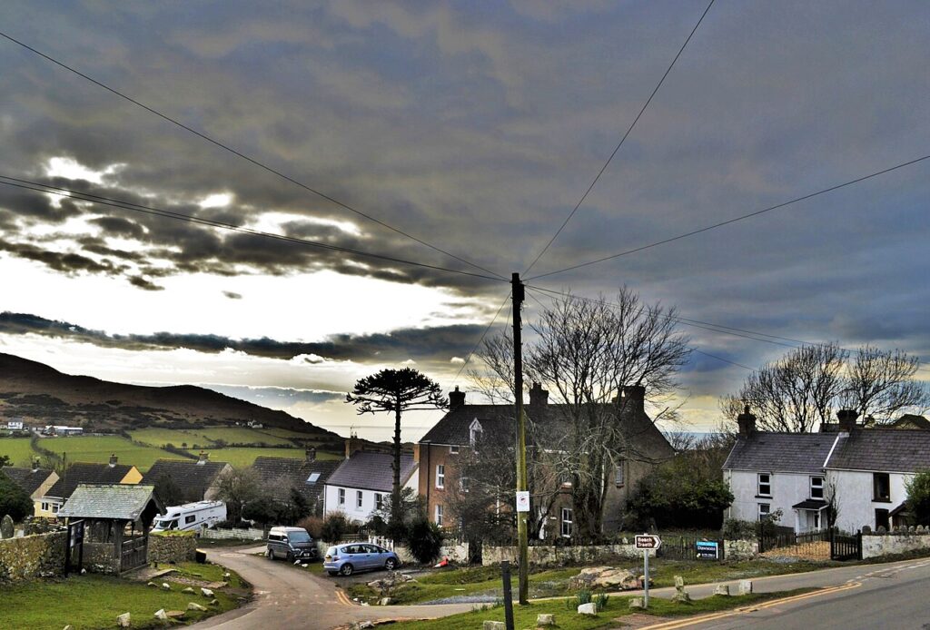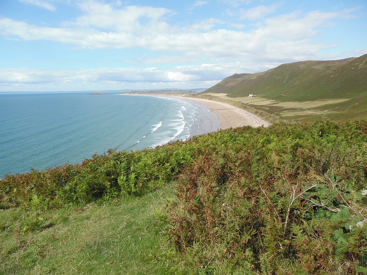
Rhossili Bay from Rhossili - geograph.org.uk - 4904492

Routes / South Wales

Gower

Scenic road Mumbles to Rhossili

Distance17.2mi
Drive time35min
Summit113m
Total climb449m
Limits30–60mph
RegionSouth

Scenic road Slower, narrower and more scenic. Rough in places, so not the best for low, stiff performance cars.

Gower, Gŵyr in Welsh, is the peninsula west of Swansea, and in 1956 most of it became the first Area of Outstanding Natural Beauty in the United Kingdom. Our 17.2 mile line runs from Mumbles to Rhossili and tops out at 113 m. It is a road for the view rather than for pace.

From the seafront at Mumbles we cross the peninsula to Parkmill, then turn onto the lanes of Gower. The road over Cefn Bryn, the ridge in the middle of the peninsula, is the highlight: an unfenced moorland road with ponies grazing and views across both coasts. Locals call the ridge the backbone of Gower, and the road along it was once the Old Coal Road. Just north of the summit is Arthur’s Stone, Maen Ceti, a Neolithic burial chamber whose capstone weighs about 25 tons. It is a short walk from the road and worth the stop. Above Rhossili, the Beacon on Rhossili Down is the highest point on Gower at 193 m, well above anything the road reaches.

From Reynoldston it is a short run west to Rhossili, where the road ends above one of the finest beaches in Britain, with the tidal island of Worms Head offshore. Its Welsh name is Pen Pyrod, and the causeway can be walked only for about two and a half hours either side of low tide. We would drive it east to west, so the road finishes at the bay.

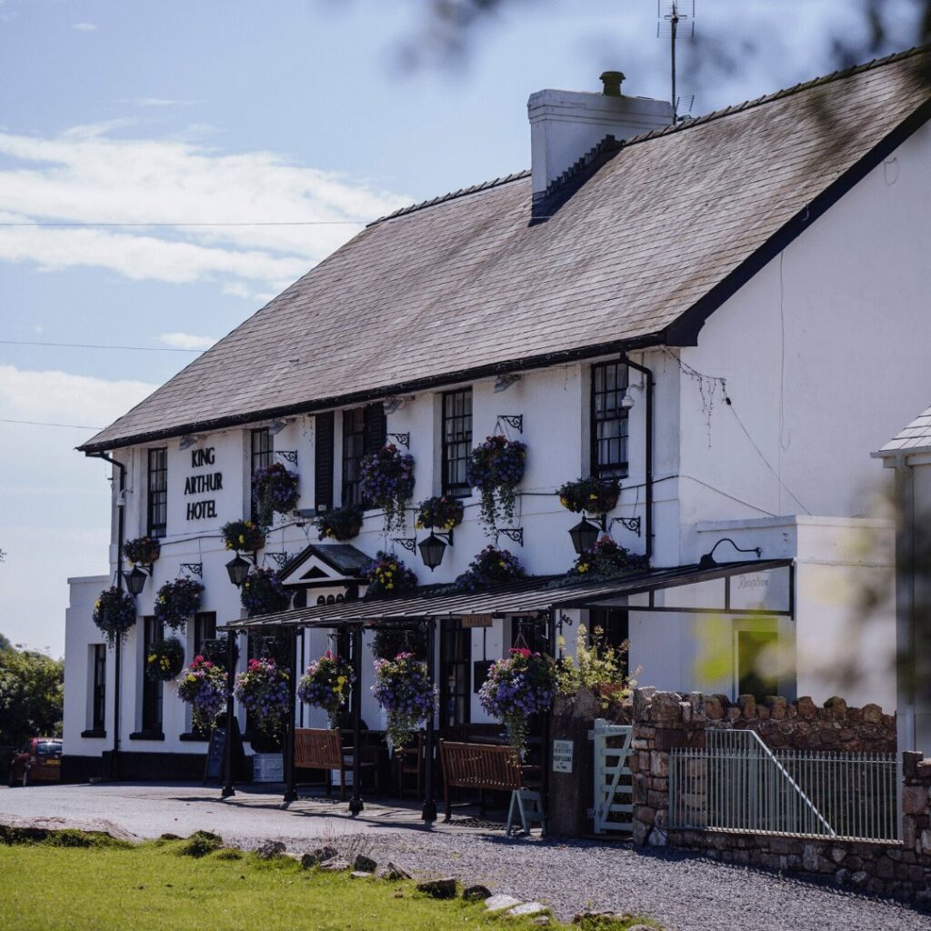
Stay on the peninsula at the King Arthur Hotel in Reynoldston, at The Kings Head in Llangennith, or by the beach at the Oxwich Bay Hotel. Parc le Breos, a former hunting lodge near Three Cliffs, is the dinner. North of Swansea, the Afan valley is the nearest mountain road.

Good to know

  1. 01
    Ponies and sheep roam freely on Cefn Bryn and Fairwood Common. Slow down early.
  2. 02
    Rhossili car park is National Trust and fills by late morning in summer.
  3. 03
    Lanes are narrow and busy with visitors in the school holidays.
  4. 04
    Check tide times before walking out to Worms Head. The causeway is open only for about two and a half hours either side of low tide.
  5. 05
    The roads here are run by Swansea Council, so check its listings for closures rather than Traffic Wales.

Photo: Rhossili Bay from Rhossili – geograph.org.uk – 4904492 by David Hillas, CC BY-SA 2.0
The climb

6 m to 113 m · summit at 10.6 mi
Start · 0 miFinish · 17.2 mi

Up top today

Forecast at the summit, 113 m · updated 04:20
Take care

Rain on the top

Drive it, but take the high section gently.

Now
Heavy rain
Air
10°C
Wind
27mph W
Road
Wet
Golden hour · This morning

07:18to08:36

Sunrise 07:48 · Mostly cloud, a chance of a gap
  1. Today Take care 10–12°C · wind to 29 mph · 8 mm rain · rain
  2. Tomorrow Take care 8–11°C · wind to 14 mph · 6 mm rain · rain
  3. Friday Good day 6–9°C · wind to 11 mph · dry · damp roads

Forecast from MET Norway, refreshed hourly. Mountain weather turns fast: check before you set off.

The live map

Turns, cameras, viewpoints and stops along the road

Quick answers

How long is Gower?
Gower is 17.2 miles from Mumbles to Rhossili and takes about 35 minutes to drive without stopping.
How high does Gower go?
It reaches 113 metres (371 feet) at its highest point, with 449 metres of climbing along the way.
What is the speed limit on Gower?
Limits along the route are 30–60 mph. Always follow the signs on the road, as Welsh limits can change.
What kind of car suits Gower?
We class it as a Scenic road. Slower, narrower and more scenic. Rough in places, so not the best for low, stiff performance cars.
Where should I stay near Gower?
The graded hotels we would choose near this road are King Arthur Hotel, The Kings Head and Delta Hotels by Marriott Swansea.
What is the Welsh name for Gower?
Gower is Gŵyr in Welsh, or Penrhyn Gŵyr for the peninsula.
Is Gower an Area of Outstanding Natural Beauty?
Yes. In 1956 most of Gower became the first Area of Outstanding Natural Beauty in the United Kingdom.
Where do you park at Rhossili?
The National Trust car park at Rhossili sits at the end of the road above the bay. It fills by late morning in summer.
When can you walk to Worms Head?
The causeway to Worms Head can be crossed only for about two and a half hours either side of low tide.

Read more about this road

The Logbook →

Graded hotels within easy reach of the road, the four and five stars first.

Stop along the way

All stops on the map →
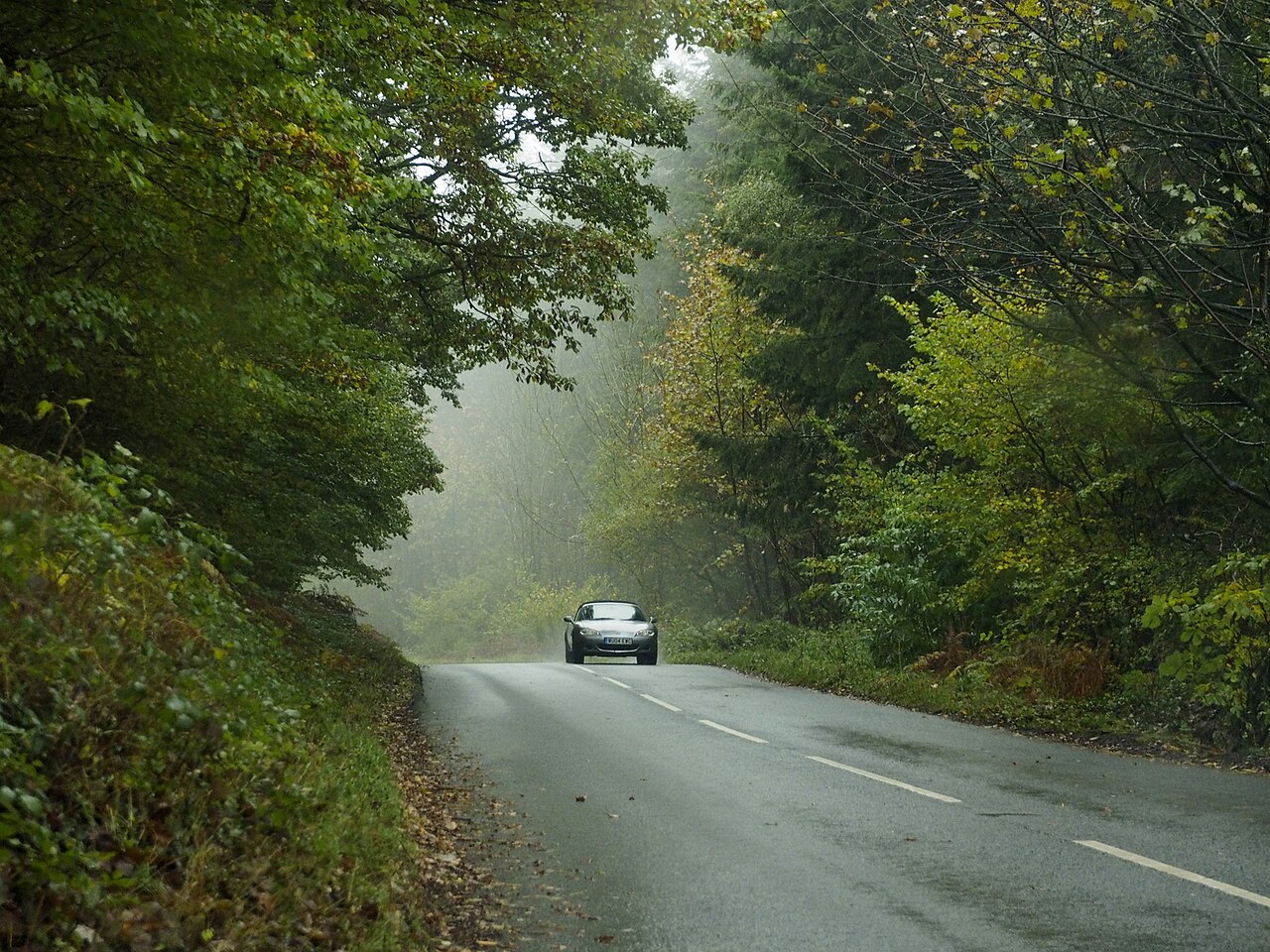
A sports car on the B4293 in the woods south of Devauden
Next road · South Wales

Over Devauden

Raglan to Chepstow · 13.0 mi Drive it next →