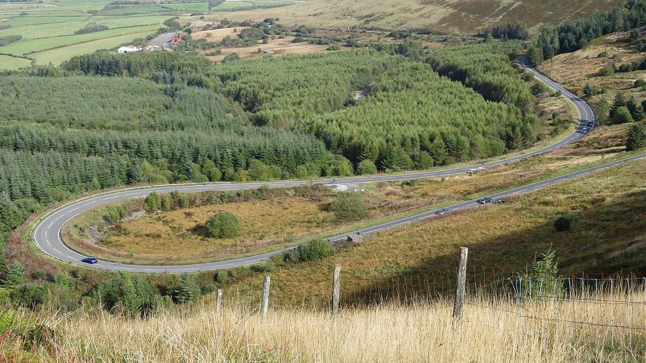
Hairpin bend on the A4061 Rhigos Mountain Road - geograph.org.uk - 5932282

Routes / South Wales

The Rhigos and the Bwlch

Driving road A4061 Hirwaun to Nant-y-moel

Distance22.6mi
Drive time45min
Summit530m
Total climb828m
Limits30–60mph
RegionSouth

Driving road Built for driving: well surfaced and rewarding behind the wheel.

The Rhigos and the Bwlch are the two mountain sections of the A4061, linking the Cynon, Rhondda Fawr and Ogmore valleys. Our 22.6 mile line runs from Hirwaun to Nant-y-moel and tops out at 530 m. The summits usually quoted are lower, 421 m for the Rhigos and 450 m for Bwlch y Clawdd.

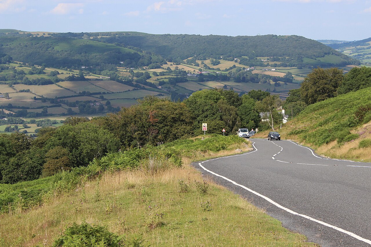
From Hirwaun, at the head of the Cynon valley, the A4061 climbs onto the Rhigos mountain. At the top the land falls away from the escarpment and the road plunges in a series of hairpins down the cliff face to Treherbert, with the whole of the Rhondda Fawr laid out below. The road from Treherbert to Hirwaun opened on 4 November 1929, built as relief work for unemployed miners after the First World War.

Through Treherbert and Treorchy the road climbs again out of the Rhondda onto Bwlch y Clawdd, the Bwlch. Its viewpoint car park at the top is a long-time meeting point, and ice cream vans have stood at both summits since the 1930s. On a clear day you can see the Bristol Channel and Exmoor. Then the road snakes down the hillside to Nant-y-moel and the Ogmore valley. We would drive it north to south, so the Rhigos hairpins come on the descent with the valley ahead of you.

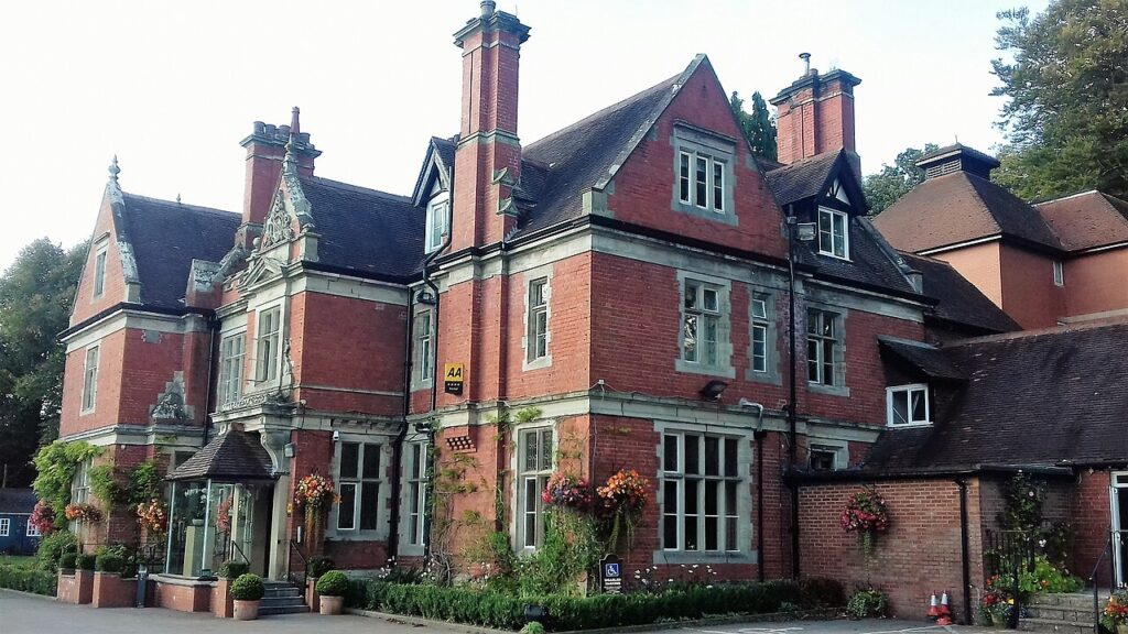
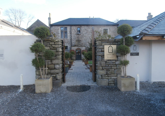
Fuel up and eat at the bottom of the Rhigos: The Pits is a minute from the start. Stay at The Coed in Coychurch or Lanelay Hall. Above Treorchy, the A4107 through the Afan valley branches west off the Bwlch, and the A4059 runs north from Hirwaun into the Beacons.

Good to know

  1. 01
    The Rhigos is exposed and often in cloud. Watch for sheep, and give cyclists room on the climbs.
  2. 02
    The hairpins on the Rhigos are tight. Take care if you meet a bus or lorry.
  3. 03
    The rock slope above the Rhigos was repaired after a 2022 fire, with the road fully closed for the work. It is a council road, so check Rhondda Cynon Taf council, not Traffic Wales, for closures.
  4. 04
    Both summits have parking and views. The Bwlch viewpoint is the busier of the two at weekends.
  5. 05
    Limits change along the route through the valley towns. Follow the signs.

Photo: Hairpin bend on the A4061 Rhigos Mountain Road – geograph.org.uk – 5932282 by Gareth James, CC BY-SA 2.0
The climb

160 m to 530 m · summit at 18.8 mi
Start · 0 miFinish · 22.6 mi

Up top today

Forecast at the summit, 530 m · updated 04:07
Take care

Rain on the top

Drive it, but take the high section gently.

Now
Rain
Air
6°C
Wind
19mph W
Road
Wet
Golden hour · This morning

07:16to08:34

Sunrise 07:46 · Likely lost in cloud
  1. Today Take care 6–8°C · wind to 24 mph · 11 mm rain · rain
  2. Tomorrow Take care 4–7°C · wind to 14 mph · 3 mm rain · rain
  3. Friday Good day 4–6°C · wind to 12 mph · dry · damp roads

Forecast from MET Norway, refreshed hourly. Mountain weather turns fast: check before you set off.

The live map

Turns, cameras, viewpoints and stops along the road

Quick answers

How long is The Rhigos and the Bwlch?
The Rhigos and the Bwlch is 22.6 miles from Hirwaun to Nant-y-moel and takes about 45 minutes to drive without stopping.
How high does The Rhigos and the Bwlch go?
It reaches 530 metres (1,739 feet) at its highest point, with 828 metres of climbing along the way.
What is the speed limit on The Rhigos and the Bwlch?
Limits along the route are 30–60 mph. Always follow the signs on the road, as Welsh limits can change.
What kind of car suits The Rhigos and the Bwlch?
We class it as a Driving road. Built for driving: well surfaced and rewarding behind the wheel.
Where should I stay near The Rhigos and the Bwlch?
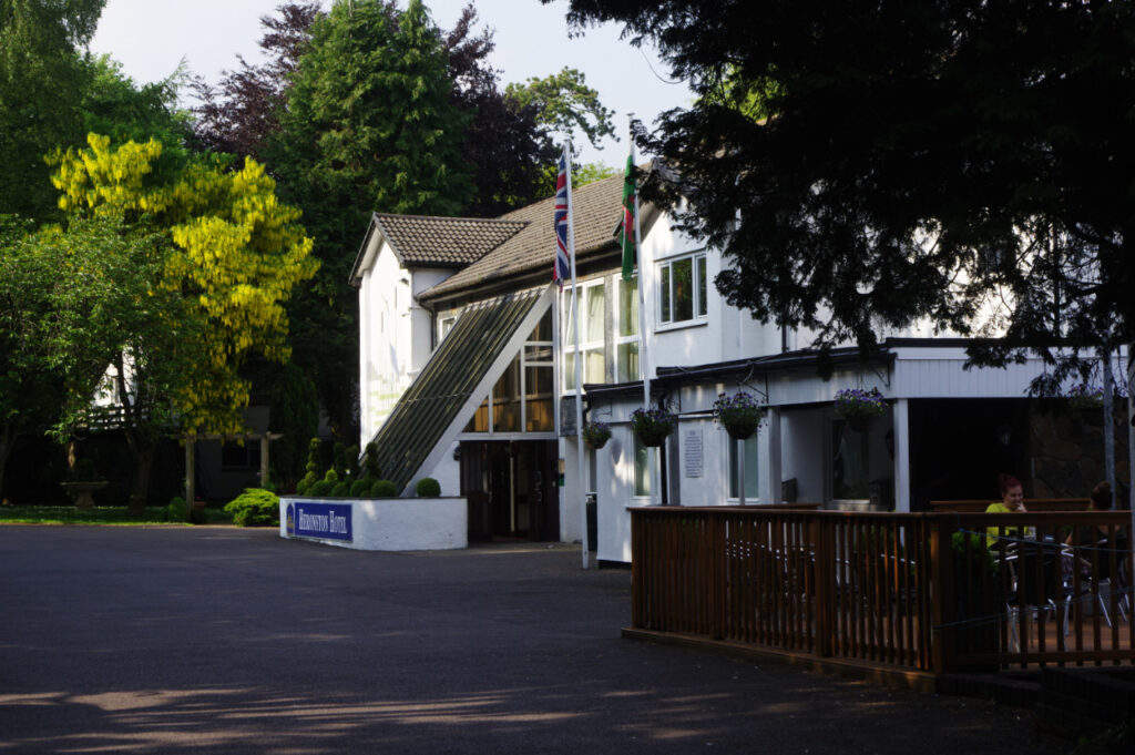
The graded hotels we would choose near this road are The Coed in Coychurch, Lanelay Hall Hotel & Spa and Best Western Premier Heronston Hotel & Spa.
What road is the Rhigos mountain road?
The Rhigos mountain road is the A4061 between Hirwaun and Treherbert. It opened on 4 November 1929.
How high is the Bwlch mountain road?
Bwlch y Clawdd on the A4061 is usually given as 450 m. Our line between Hirwaun and Nant-y-moel tops out at 530 m.
Is the Rhigos road closed?
The Rhigos has had several closures, including a full closure from July 2024 to repair the rock slope after a fire. Check Rhondda Cynon Taf council before you travel.
Why was the Rhigos and Bwlch road built?
The road was built as relief work for unemployed miners after the First World War, particularly in the Rhondda.

Read more about this road

The Logbook →

Graded hotels within easy reach of the road, the four and five stars first.

Stop along the way

All stops on the map →
Unfenced B4246 descending to Govilon - geograph.org.uk - 6227735
Next road · South Wales

The Tumble

Govilon to Blaenavon · 3.1 mi Drive it next →