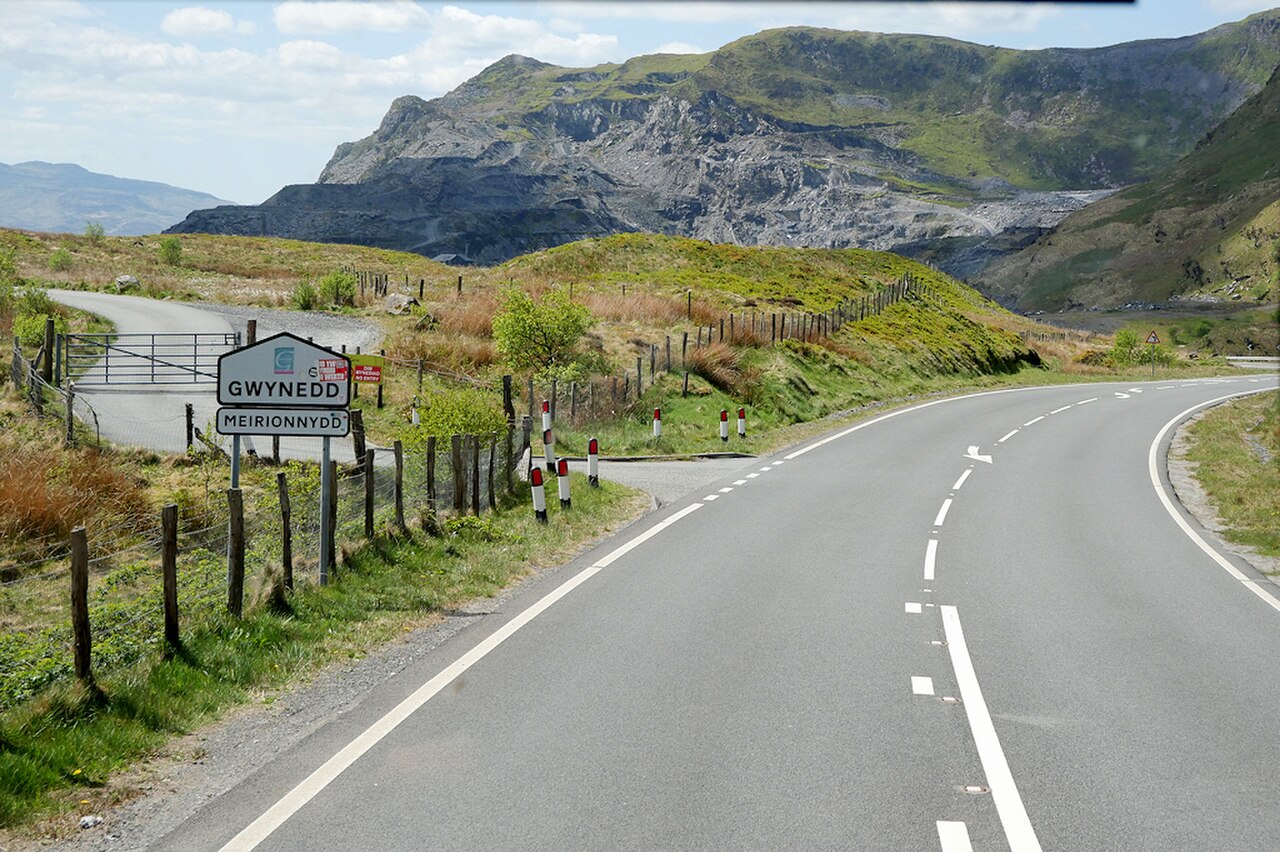
A470, Crimea Pass, towards Blaenau Ffestiniog - geograph.org.uk - 8053389

Routes / North Wales

The Crimea Pass

Driving road A470 Betws-y-Coed to Blaenau Ffestiniog

Distance13.2mi
Drive time25min
Summit386m
Total climb499m
Limits30–60mph
RegionNorth

Driving road Built for driving: well surfaced and rewarding behind the wheel.

The Crimea Pass is the A470 between the Lledr valley and Blaenau Ffestiniog, known in Welsh as Bwlch y Gorddinan. Our 13.2 mile line runs from Betws-y-Coed to Blaenau Ffestiniog and tops out at 386 m, against the 385 m usually quoted for the pass.

Leave Betws-y-Coed on the A470 and follow the Afon Lledr up a wooded valley, past Dolwyddelan and its lonely castle, probably begun by Llywelyn ab Iorwerth between 1210 and 1240 to guard a route through his kingdom. The ruins of Tomen Castell nearby, an older tower on a rocky outcrop above the Lledr, are the likely birthplace of Llywelyn himself. Above Dolwyddelan the road climbs out of the trees and over the pass.

The road was opened in 1854, while the Crimean War was being fought, and the stone walls were built by Russian prisoners taken at Inkerman and Balaclava. The nickname stuck to the inn at the top, the Prince Llewellyn, known as the Crimea for its fights, which closed in 1881. Above the modern road a track follows the old route across the pass. In the mid-1870s a slate quarry was opened near the summit, without much success. Major improvement work on the A470 here was finished in 2008.

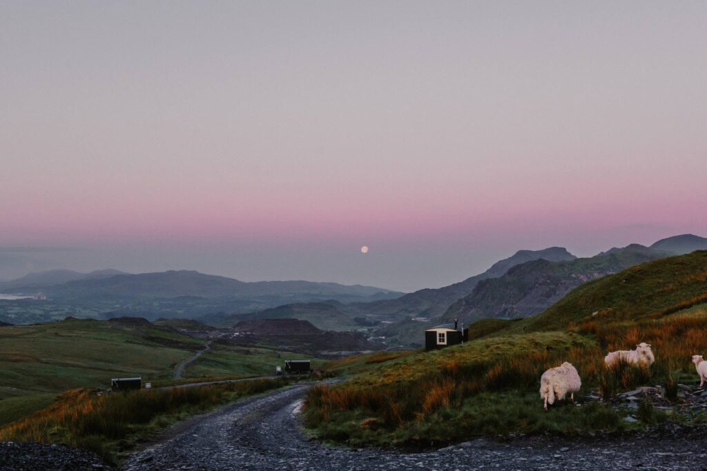
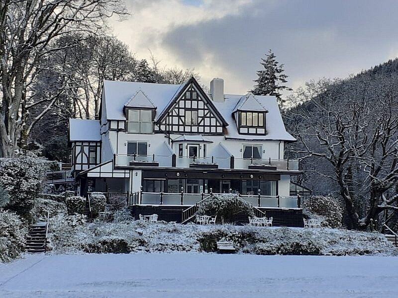
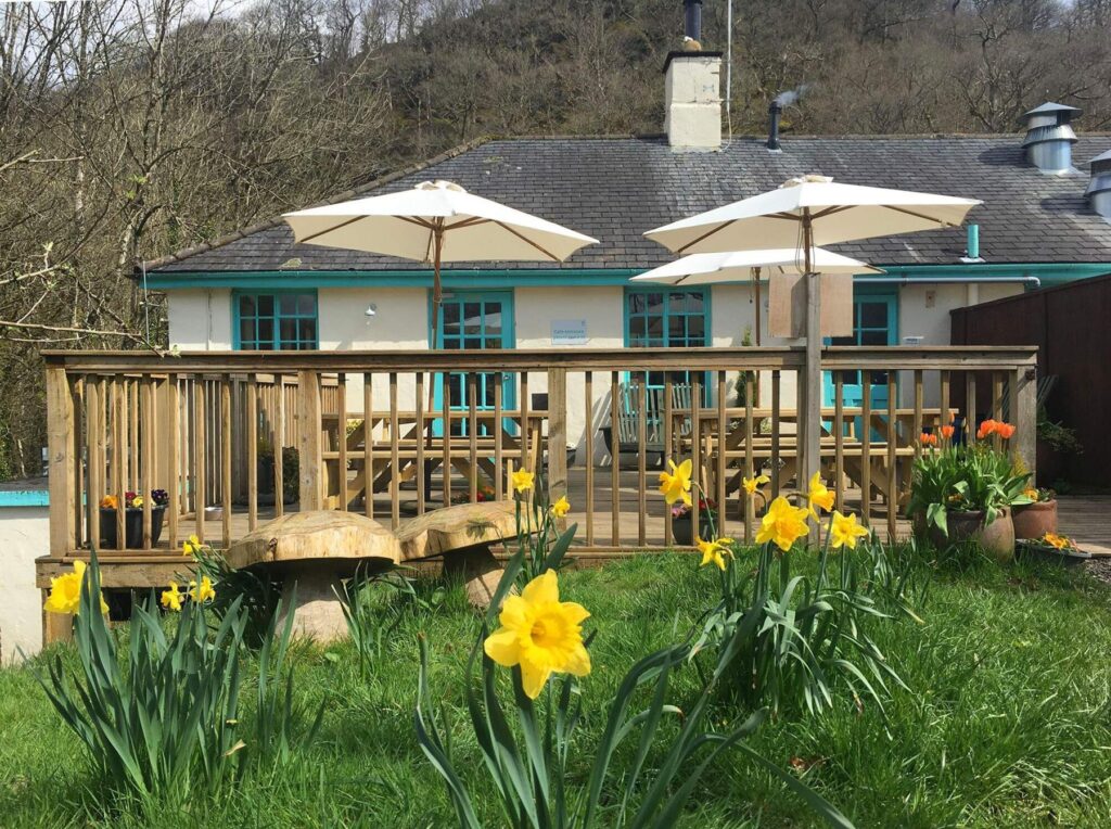
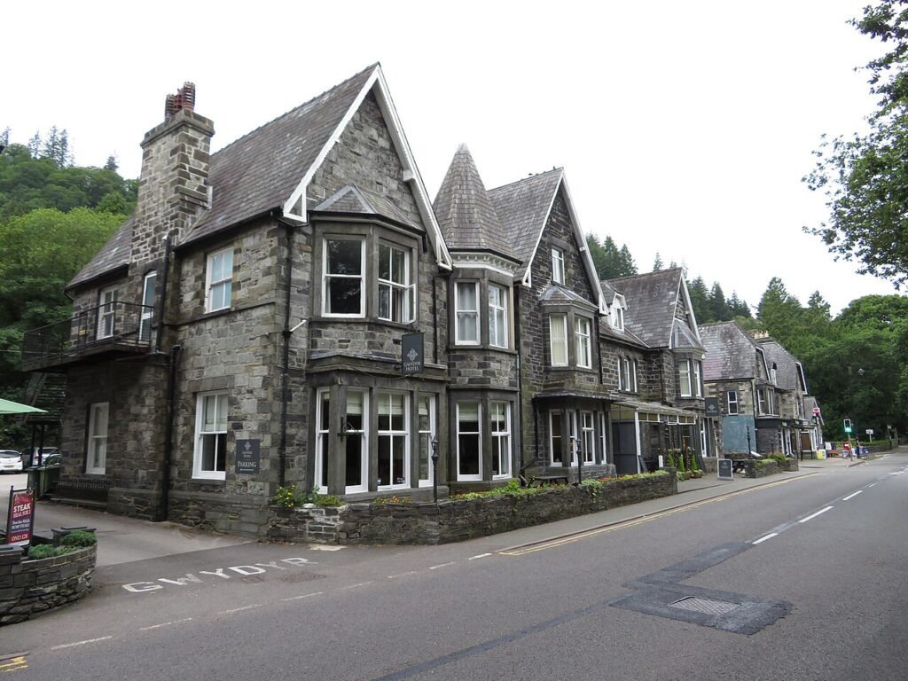
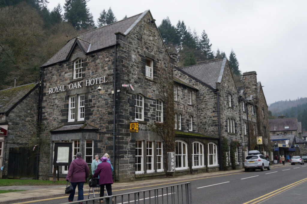
The descent is one of the most dramatic arrivals in Wales: the road drops through cuttings straight into Blaenau Ffestiniog, a town built inside the slate mountains that made it. Stay at the Gwydyr Hotel or The Royal Oak in Betws-y-Coed, or at Plas Weunydd among the quarries at Blaenau. Before setting off, the Conwy Falls Café is a short run out of Betws. From Blaenau the Migneint is the next road, and the Evo Triangle is close to Betws.

Good to know

  1. 01
  2. 02
    Watch for sheep on the open section near the summit.
  3. 03
    Continue south on the A470 for the Vale of Ffestiniog, or turn onto the B4391 for the Migneint.
  4. 04
    Wales has a 20 mph default in built-up areas, so expect it through the villages and in Blaenau.

Photo: A470, Crimea Pass, towards Blaenau Ffestiniog – geograph.org.uk – 8053389 by David Dixon, CC BY-SA 2.0
The climb

18 m to 386 m · summit at 11.0 mi
Start · 0 miFinish · 13.2 mi

Up top today

Forecast at the summit, 386 m · updated 04:07
Take care

Rain on the top

Drive it, but take the high section gently.

Now
Light rain
Air
6°C
Wind
7mph SW
Road
Wet
Golden hour · This morning

07:22to08:44

Sunrise 07:52 · Likely lost in cloud
  1. Today Take care 6–8°C · wind to 13 mph · 5 mm rain · rain
  2. Tomorrow Take care 3–7°C · wind to 11 mph · dry · patchy fog
  3. Friday Good day 2–6°C · wind to 12 mph · dry · frost in the shade

Forecast from MET Norway, refreshed hourly. Mountain weather turns fast: check before you set off.

The live map

Turns, cameras, viewpoints and stops along the road

Quick answers

How long is The Crimea Pass?
The Crimea Pass is 13.2 miles from Betws-y-Coed to Blaenau Ffestiniog and takes about 25 minutes to drive without stopping.
How high does The Crimea Pass go?
It reaches 386 metres (1,266 feet) at its highest point, with 499 metres of climbing along the way.
What is the speed limit on The Crimea Pass?
Limits along the route are 30–60 mph. Always follow the signs on the road, as Welsh limits can change.
What kind of car suits The Crimea Pass?
We class it as a Driving road. Built for driving: well surfaced and rewarding behind the wheel.
Where should I stay near The Crimea Pass?
The graded hotels we would choose near this road are Gwydyr Hotel, The Royal Oak Hotel, Betws-y-Coed and Plas Weunydd.
Why is it called the Crimea Pass?
The road opened in 1854 during the Crimean War, and the inn at the summit, the Prince Llewellyn, was popularly called the Crimea because of its reputation for fights. Russian prisoners of war are said to have built the stone walls.
What is the Welsh name for the Crimea Pass?
Bwlch y Gorddinan. It carries the A470 between Dolwyddelan and Blaenau Ffestiniog.
Is the Crimea Pass closed in winter?
It is sometimes closed by snow. The summit is at about 385 m, so check Traffic Wales before travelling in winter.
Who built Dolwyddelan Castle?
It was probably begun by Llywelyn ab Iorwerth, ruler of Gwynedd, between 1210 and 1240, to defend a route through his kingdom.

Read more about this road

The Logbook →

Graded hotels within easy reach of the road, the four and five stars first.

Stop along the way

All stops on the map →
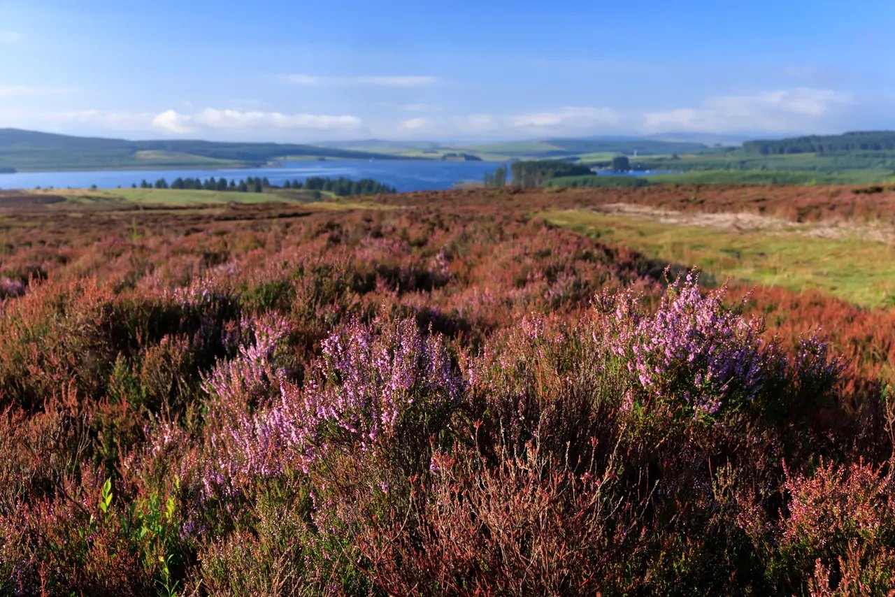
Heather at Gors Maen Llwyd above Llyn Brenig
Next road · North Wales

The Evo Triangle (A5, B4501, A543)

Pentrefoelas, Cerrigydrudion and the Denbigh Moors · 23.0 mi Drive it next →