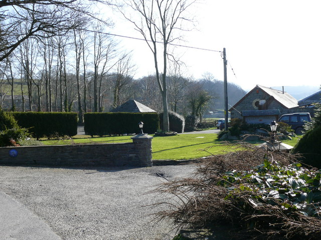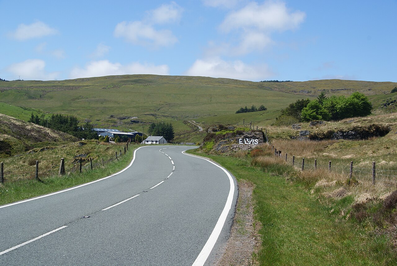
The A44 approaching Eisteddfa-Gurig - geograph.org.uk - 2972413

Routes / Mid Wales

The A44 over Pumlumon

Driving road A44 Llangurig to Aberystwyth

Distance24.4mi
Drive time50min
Summit417m
Total climb406m
Limits30–60mph
RegionMid

Driving road Built for driving: well surfaced and rewarding behind the wheel.

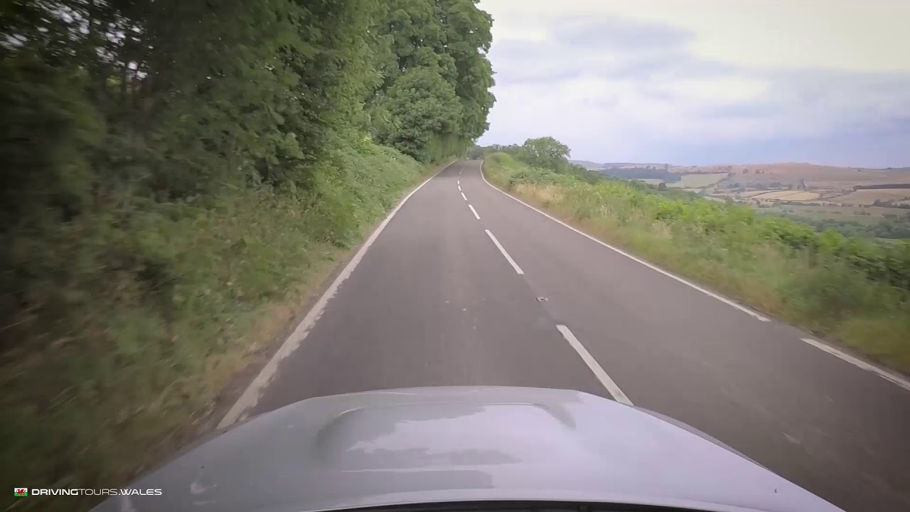
The A44 over Pumlumon is the main road west across the Cambrian Mountains from Llangurig to Aberystwyth, and it is a proper driving road: wide, well surfaced and fast. Our 24.4 mile line tops out at 417 m near Eisteddfa Gurig, which Wikipedia gives as 408 m, the highest point of the A44 anywhere on its run from Oxford. When the road was first numbered in 1923 it ran from Chipping Norton to Aberystwyth, and the stretch east of Llangurig to Rhayader has since become the A470.

From Llangurig the A44 follows the young River Wye west into the hills, with long open sweepers climbing towards Eisteddfa Gurig on the flank of Pumlumon. This is also where you pass the landmark known as Elvis Rock. Pumlumon, Plynlimon in English, means five tops. At 752 m it is the highest ground in Mid Wales and the source of the Severn, the Wye and the Rheidol.

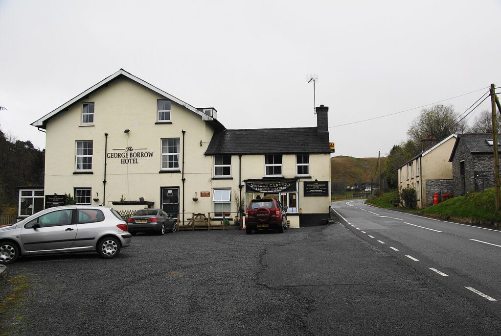
The road crosses the watershed here before dropping through Ponterwyd and the forests of the Rheidol to Aberystwyth on Cardigan Bay. At Ponterwyd, Yr Hen Bont, a steep single-arch stone bridge of the late 18th century, crosses the Rheidol, and The George Borrow is the old drovers’ inn named after the author of Wild Wales. Close to Llangurig is Sweet Lamb, the rally stage and off-road complex in the hills above the Wye.

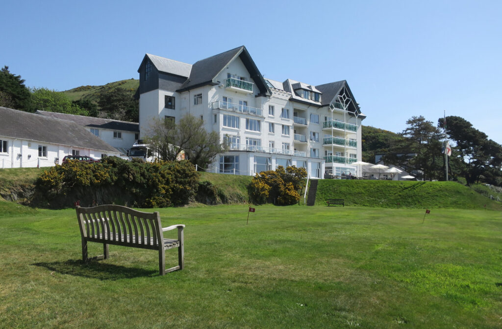
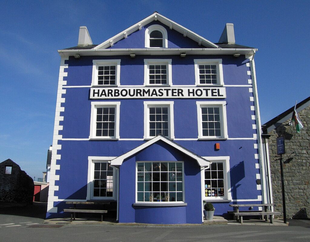
At the end of the road, stay on the Aberystwyth seafront at Gwesty Cymru, or south at the Harbourmaster in Aberaeron or at Ty Glyn in the Aeron valley. At Ponterwyd, the A4120 by Devil’s Bridge is the slower, more dramatic way into Aberystwyth, and from Llangurig the A470 down the upper Wye heads south.

Good to know

  1. 01
    A main road with lorries and fast traffic. Overtake only where it’s clear.
  2. 02
    The A44 is a trunk road, so closures and roadworks are on Traffic Wales.
  3. 03
    Eisteddfa Gurig farm is the start of the walk up Pumlumon.
  4. 04
    Combine it with the Elan Valley mountain road via Devil’s Bridge for a loop.

Photo: The A44 approaching Eisteddfa-Gurig – geograph.org.uk – 2972413 by Bill Boaden, CC BY-SA 2.0
The climb

3 m to 417 m · summit at 7.9 mi
Start · 0 miFinish · 24.4 mi

Up top today

Forecast at the summit, 417 m · updated 04:21
Give it a miss

Give it a miss today

Thick fog over the top. Friday looks better.

Now
Rain
Air
6°C
Wind
13mph SW
Road
Wet
Golden hour · This morning

07:18to08:40

Sunrise 07:50 · Likely lost in cloud
  1. Today Give it a miss 6–8°C · wind to 18 mph · 11 mm rain · thick fog
  2. Tomorrow Give it a miss 5–7°C · wind to 12 mph · 4 mm rain · thick fog
  3. Friday Take care 4–5°C · wind to 14 mph · dry · patchy fog

Forecast from MET Norway, refreshed hourly. Mountain weather turns fast: check before you set off.

The live map

Turns, cameras, viewpoints and stops along the road

Quick answers

How long is The A44 over Pumlumon?
The A44 over Pumlumon is 24.4 miles from Llangurig to Aberystwyth and takes about 50 minutes to drive without stopping.
How high does The A44 over Pumlumon go?
It reaches 417 metres (1,368 feet) at its highest point, with 406 metres of climbing along the way.
What is the speed limit on The A44 over Pumlumon?
Limits along the route are 30–60 mph. Always follow the signs on the road, as Welsh limits can change.
What kind of car suits The A44 over Pumlumon?
We class it as a Driving road. Built for driving: well surfaced and rewarding behind the wheel.
Where should I stay near The A44 over Pumlumon?
The graded hotels we would choose near this road are The Trefeddian Hotel, Aberdyfi, Harbourmaster and Tŷ Glyn.
What is the highest point of the A44?
Eisteddfa Gurig on the flank of Pumlumon, given as 408 m (1,339 ft). Our line records 417 m nearby.
Where is Elvis Rock on the A44?
It is beside the A44 at Eisteddfa Gurig, the highest point of the road between Llangurig and Ponterwyd.
How long does it take to drive the A44 from Llangurig to Aberystwyth?
Our 24.4 mile line takes about 50 minutes of driving.
What is the Welsh name for Plynlimon?
Pumlumon, thought to mean five tops or five beacons. The Severn, Wye and Rheidol all rise on the mountain.

Read more about this road

The Logbook →

Graded hotels within easy reach of the road, the four and five stars first.

Stop along the way

All stops on the map →
The A481: Llanfihangel-nant-Melan to Builth Wells
Next road · Mid Wales

The A481

Llanfihangel-nant-Melan to Builth Wells · 11.7 mi Drive it next →