
In this entry
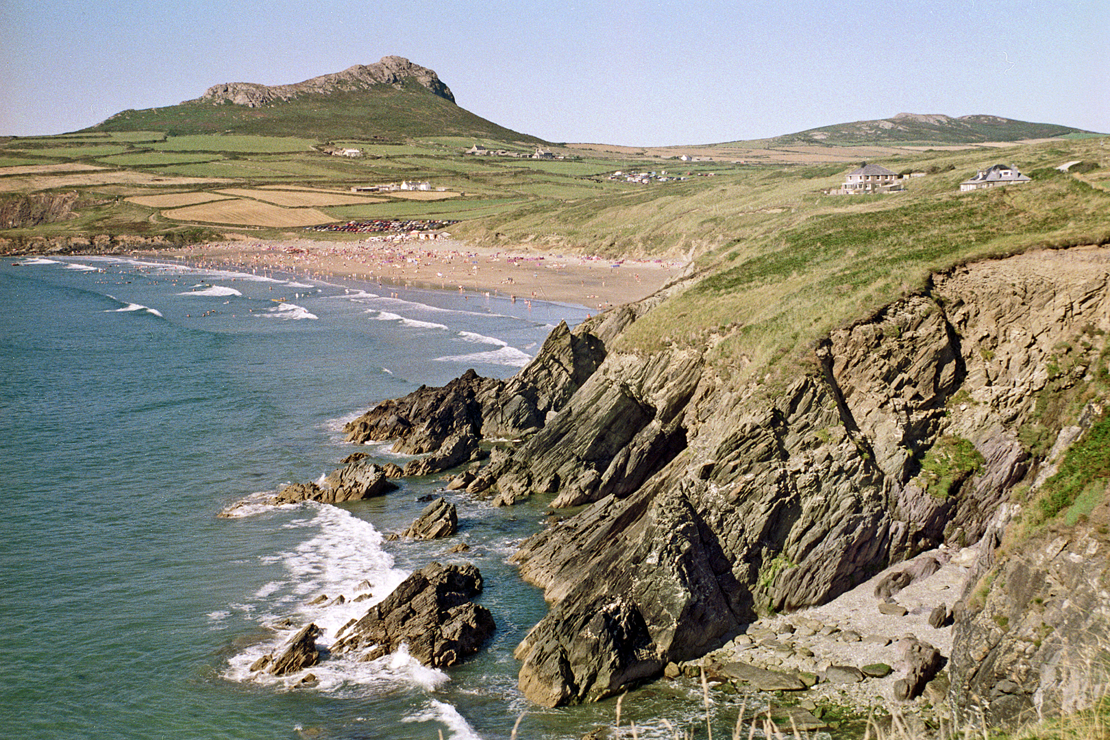
West Wales is where the country runs out of land. The roads here are slower than in the mountains, but they lead to the best coastline in Britain, and the hotels at the end of them are some of the finest in Wales. This is a road trip for a long weekend, with the driving set around the views.
01Day one: Carmarthenshire to St Davids
Arrive from the east on the M4 and A40, or better, come over the Black Mountain Pass and drop down through Llandeilo. Head west through Narberth to Haverfordwest and on to St Davids, Britain’s smallest city, for the night.
02Day two: the Pembrokeshire coast and the Preseli hills
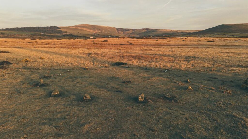
Start early on the Pembrokeshire coast road from St Davids to Cardigan, by Fishguard and Newport. It is a drive of headlands and harbours, with lanes dropping to coves such as Abereiddi and Porthgain. In the afternoon, turn inland over the Preseli hills, the open moorland where the bluestones of Stonehenge are believed to have been quarried, and back towards Haverfordwest.
| Road | Class | Length | Time | Summit |
|---|---|---|---|---|
| The Pembrokeshire coast | Scenic road | 36.4 mi | 75 min | 187 m |
| Over the Preseli hills | Driving road | 25.9 mi | 50 min | 407 m |
03Day three: up the Ceredigion coast
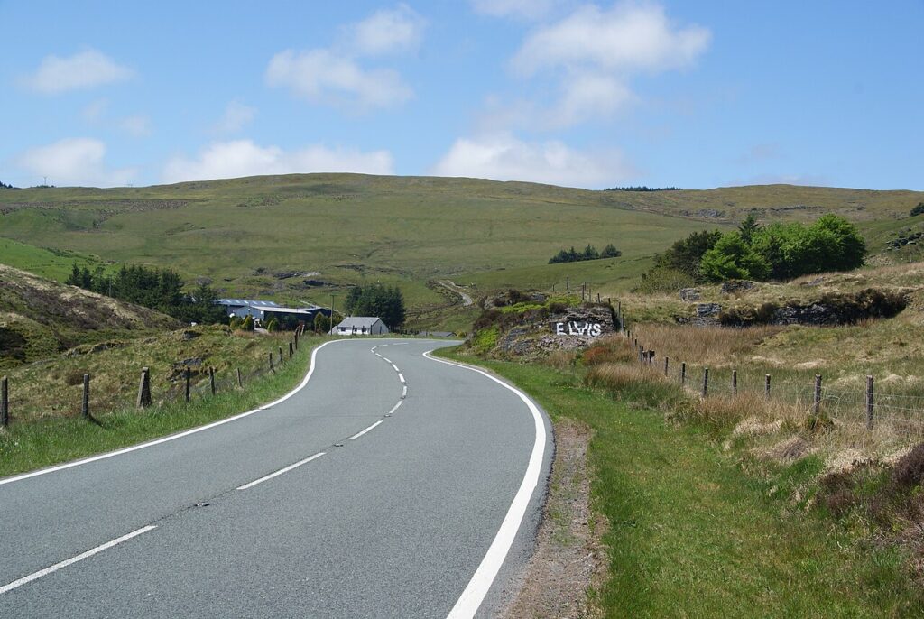
North from Cardigan the A487 follows Cardigan Bay through Aberaeron, with its painted harbour houses, to Aberystwyth. From there, head inland on the Rheidol road to Devil’s Bridge, or take the A44 over Pumlumon for a fast run east. For the full mountain finish, the Abergwesyn Pass starts at Tregaron, half an hour inland from Aberaeron.
| Road | Class | Length | Time | Summit |
|---|---|---|---|---|
| The Rheidol road | Scenic road | 13.8 mi | 30 min | 303 m |
| The A44 over Pumlumon | Driving road | 24.4 mi | 50 min | 417 m |
| The Abergwesyn Pass and Devil’s Staircase | Scenic road | 19.1 mi | 40 min | 481 m |
| A Cambrian Mountains loop | Scenic road | 61.1 mi | 120 min | 481 m |
04Where to stay
West Wales has a remarkable run of five-star houses for its size, several with parking and car charging.
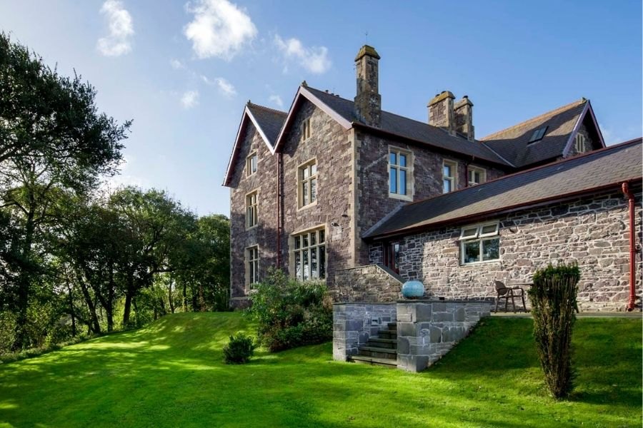
Penrhiw Priory
An eight-bedroom guest house in a 19th-century former priory on the edge of St Davids, with gardens looking…
Check rates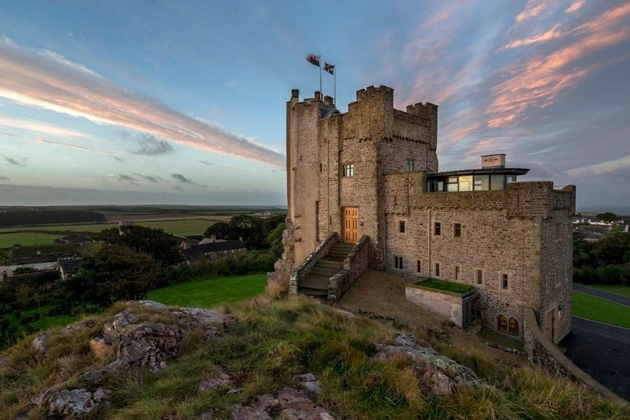
Roch Castle
A castle built around 1200 by Adam de Rupe above Roch in Pembrokeshire, restored as a six-bedroom guest…
Check rates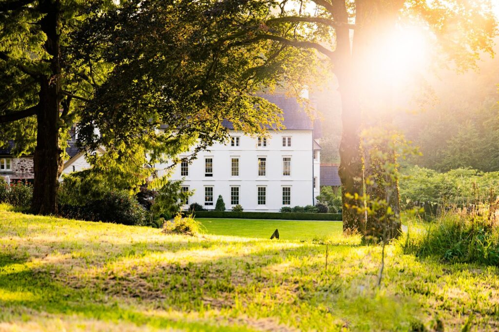
Grove of Narberth
A five-star country house hotel near Narberth, with roots in the 15th century and the Fernery, a four…
Check rates
Twr y Felin Hotel, St Davids
A hotel built around an 1806 windmill on the edge of St Davids, reopened in 2015 with 39…
Check rates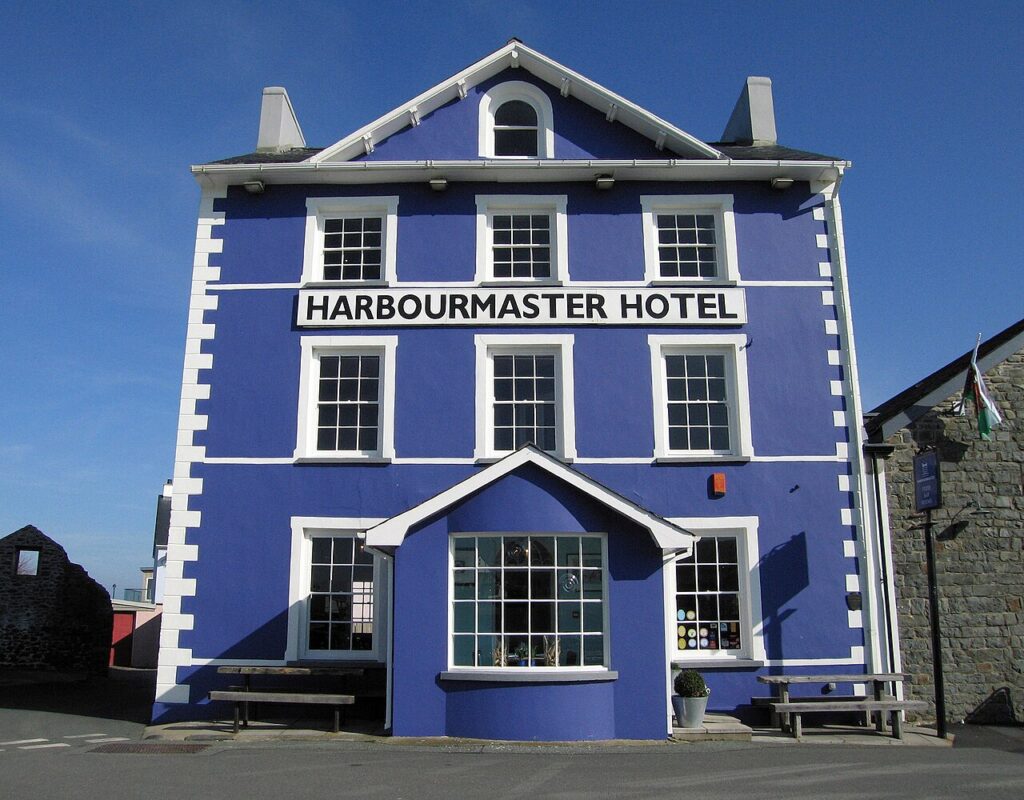
Harbourmaster
A five-star boutique hotel, bar and restaurant on Aberaeron harbour, in Grade II listed buildings dating from 1811.
Check rates
Caemorgan Mansion
A Georgian-style guest house in its own grounds just outside Cardigan, with three en-suite bed and breakfast rooms…
Check rates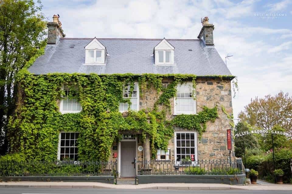


Llys Meddyg
A Grade II listed townhouse on East Street in Newport, Pembrokeshire, run as a restaurant with eight rooms,…
Check rates05Where to stop
Propellers Café in Haverfordwest is a favourite with drivers, and the Afon Duad Inn at Cwmduad is on the A484 north of Carmarthen. Pembrey Circuit, south of Carmarthen, runs track days and race meetings; see our track days guide.
06Good to know
Pembrokeshire’s lanes are narrow and busy with holiday traffic in July and August. Many beach roads are single track with steep, tight turns, and are best avoided in a low car. Our guide to the best coastal drives in Wales covers the rest of the coast.
07Quick answers
- How many days do you need for a Pembrokeshire road trip?
- Two days covers the coast road from St Davids to Cardigan and the Preseli hills. Add a third to drive the Ceredigion coast to Aberaeron and Aberystwyth.
- What is the best drive in Pembrokeshire?
- The coast road from St Davids to Cardigan by Fishguard and Newport, then over the Preseli hills.
- Where should I stay in West Wales?
- St Davids and Narberth for Pembrokeshire, Aberaeron for the Ceredigion coast. Penrhiw Priory, Roch Castle and the Grove of Narberth are among the graded hotels near the roads.
Reviewed by Drive Tour Wales in November 2026. Conditions, limits and opening times change, so check before you travel.