
In this entry
Mid Wales is the part of the country most people drive through on the way to somewhere else. That is exactly why it has the best roads. Between the A470 and the coast lies a high, empty upland with more sheep than cars, and the mountain roads across it are some of the quietest in Britain.
01The mountain roads
The Abergwesyn Pass, from Llanwrtyd Wells to Tregaron, is our favourite road in Wales. It climbs through forest, crosses the Devil’s Staircase, a set of steep hairpins, and then runs for miles across open moorland with nothing but the road ahead. It is single track with passing places, so drive it at the pace of the view.
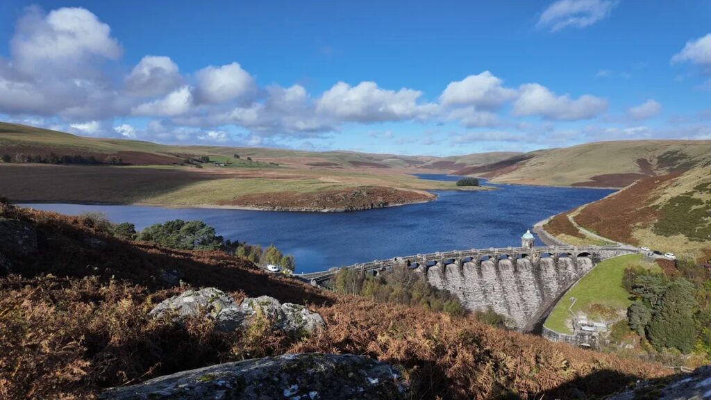
The Elan Valley and the mountain road from Rhayader to Devil’s Bridge takes you past the Victorian dams and then up over the Cambrian Mountains. It is the best-known scenic drive in the region and the easiest to reach.
The mountain road over Dylife, from Machynlleth to Llanidloes, passes the Wynford Vaughan-Thomas memorial viewpoint, one of the most dramatic in Wales, and reaches over 500 metres, higher than almost any other road in the region.
| Road | Class | Length | Time | Summit |
|---|---|---|---|---|
| The Abergwesyn Pass and Devil’s Staircase | Scenic road | 19.1 mi | 40 min | 481 m |
| The Elan Valley and the mountain road | Scenic road | 25.8 mi | 50 min | 404 m |
| The mountain road | Scenic road | 23.9 mi | 50 min | 513 m |
| A Cambrian Mountains loop | Scenic road | 61.1 mi | 120 min | 481 m |
02The fast roads
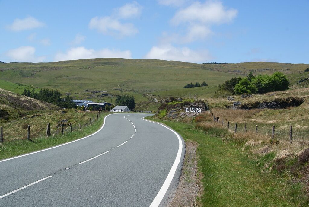
The A44 over Pumlumon, Llangurig to Aberystwyth, is the classic fast road west, wide and flowing with long sight lines. The Epynt ranges road, in two parts from Halfway to Garth, crosses the army training area on a well-surfaced road that sees almost no traffic; watch for red flags and the signs. The upper Wye on the A470 and the A483 from Llandovery to Builth Wells are good, open main roads for joining it all together.
| Road | Class | Length | Time | Summit |
|---|---|---|---|---|
| The A44 over Pumlumon | Driving road | 24.4 mi | 50 min | 417 m |
| Over the Epynt ranges | Driving road | 6.8 mi | 15 min | 440 m |
| Over the Epynt ranges, part two | Driving road | 7.9 mi | 15 min | 276 m |
| The B4519 across the Epynt ranges | Driving road | 6.3 mi | 15 min | 455 m |
| The B4520 over Mynydd Epynt | Driving road | 7.9 mi | 15 min | 419 m |
| The A481 | Driving road | 11.7 mi | 25 min | 381 m |
| The upper Wye on the A470 | Driving road | 22.2 mi | 45 min | 296 m |
03Lakes and the southern edge of Eryri
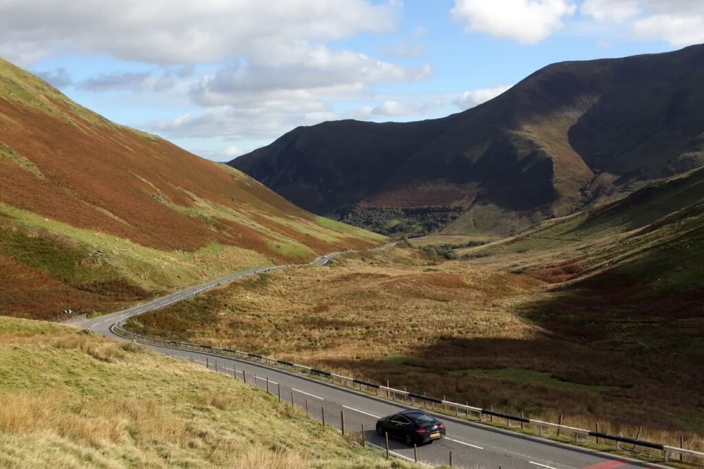
Tal-y-llyn and Bwlch Oerddrws, from Tywyn to Dinas Mawddwy, runs beside the lake under Cadair Idris and then climbs over a pass with a lay-by at the top made for photographs. Lake Vyrnwy is a gentle loop round a Victorian reservoir with a hotel at the end. The Cambrian coast from Machynlleth to Dolgellau by Aberdyfi is the coastal finale.
| Road | Class | Length | Time | Summit |
|---|---|---|---|---|
| Tal-y-llyn and Bwlch Oerddrws | Scenic road | 22.7 mi | 45 min | 363 m |
| Lake Vyrnwy | Scenic road | 18.2 mi | 35 min | 337 m |
| The Cambrian coast (A493) | Scenic road | 36.0 mi | 70 min | 72 m |
| The Rheidol road | Scenic road | 13.8 mi | 30 min | 303 m |
04A Mid Wales loop in a day
From Rhayader: the Elan Valley mountain road to Devil’s Bridge, the Rheidol road down to Aberystwyth for lunch, the A44 back over Pumlumon to Llangurig, and the A470 down the upper Wye to Builth Wells. Finish with the Abergwesyn Pass the next morning from Llanwrtyd Wells. Our Cambrian Mountains loop covers the far side, by Tregaron and Llyn Brianne.
05Fuel and charging
This is the one part of Wales where you should plan fuel. There are long stretches of the Cambrian Mountains with no filling station, so leave Rhayader, Llandovery or Aberystwyth with a full tank. See fuel and charging for every station near the routes.
06Where to stay
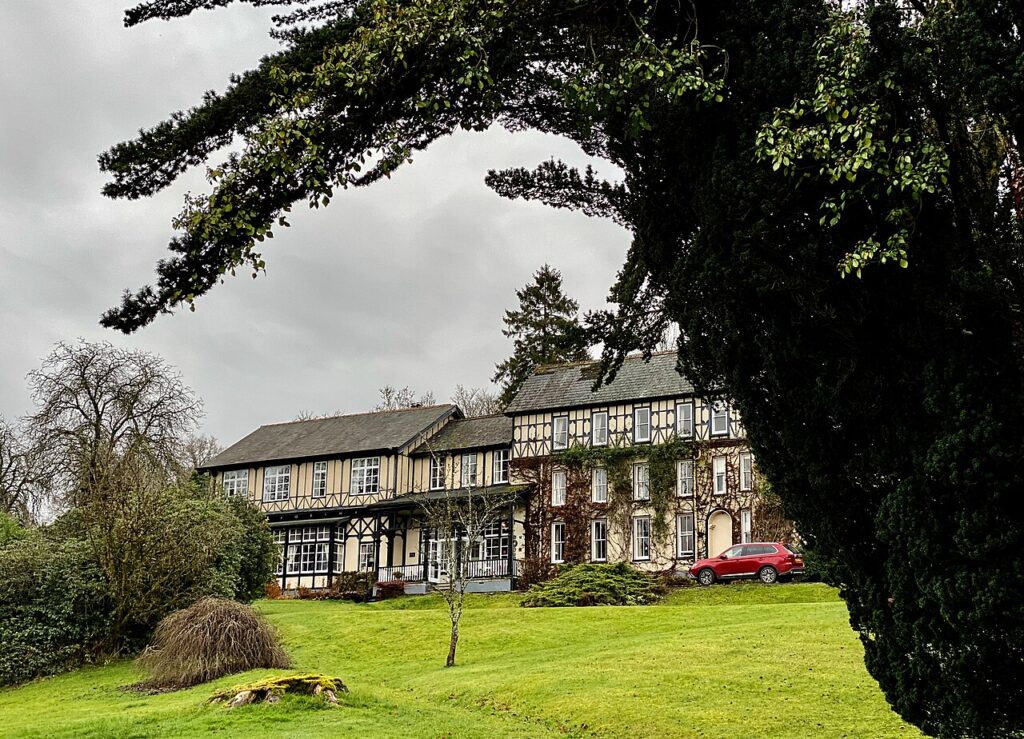
The Lake Country House & Spa
A country house hotel and spa in 50 acres at Llangammarch Wells, built in the 1840s as a…
Check rates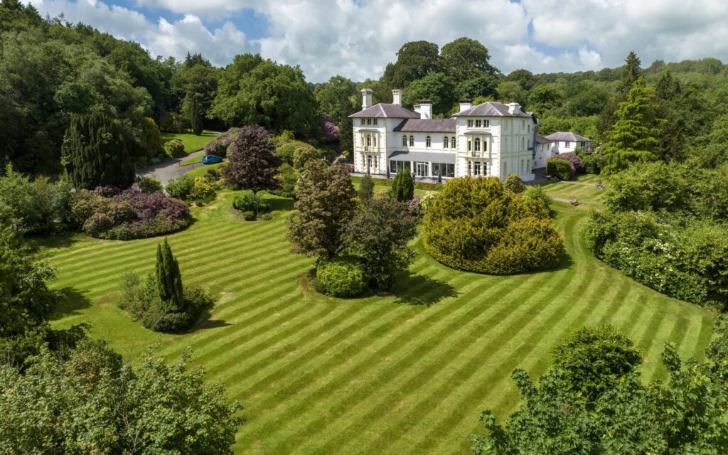
The Falcondale
A Grade II listed Italianate country house of 1859 in 14 acres above the Teifi valley, a mile…
Check rates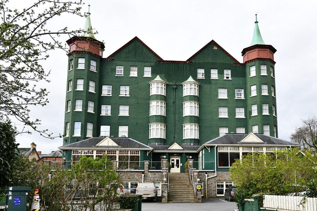
The Metropole Hotel & Spa
The big hotel of Llandrindod Wells, run by one family for 125 years until 2022, with 109 rooms,…
Check rates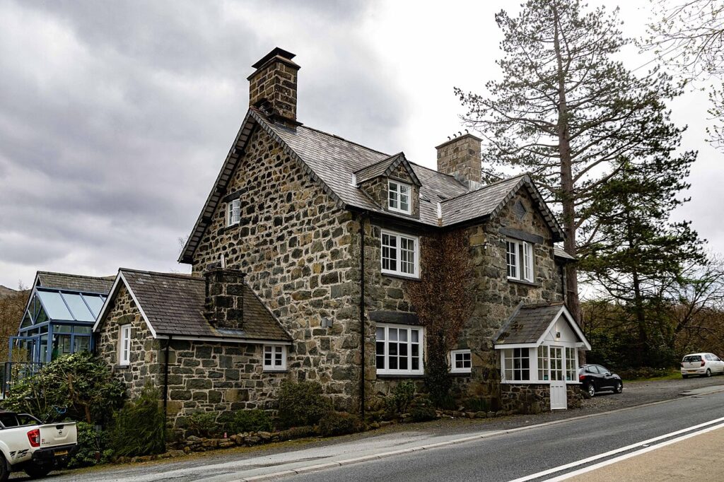
Cross Foxes
A Grade II listed 1859 inn at the junction of the A470 and A487 below Cadair Idris, now…
Check rates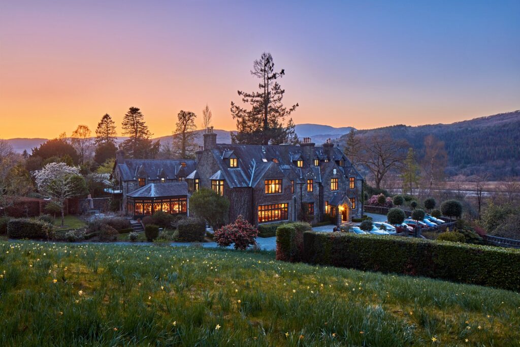
Penmaenuchaf Hotel
A Victorian country house hotel of around 1860 above the Mawddach estuary at Penmaenpool, with 14 bedrooms and…
Check rates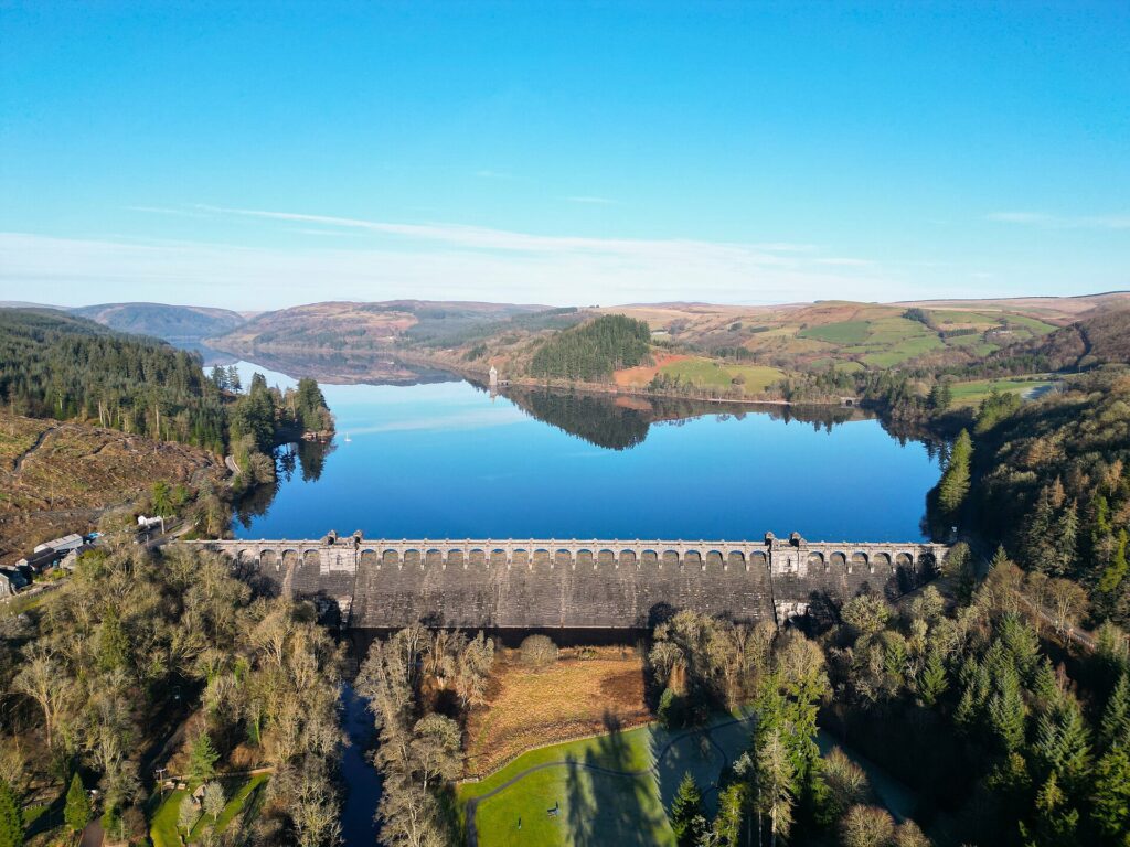


Lake Vyrnwy Hotel
A four-star country house hotel and spa built by Liverpool Corporation in 1890 above Lake Vyrnwy, at the…
Check rates07Quick answers
- What is the best driving road in Mid Wales?
- The Abergwesyn Pass from Llanwrtyd Wells to Tregaron, with the Devil's Staircase hairpins and miles of open moorland. The Elan Valley mountain road is a close second.
- Is the Elan Valley a good drive?
- Yes. The road from Rhayader past the dams and over the mountain to Devil's Bridge is one of the best scenic drives in Wales, about 26 miles on our line.
- Are there petrol stations in Mid Wales?
- There are, but they are far apart in the hills. Fill up in Rhayader, Llandovery, Builth Wells or Aberystwyth before crossing the Cambrian Mountains.
- Can you drive across the Epynt ranges?
- Yes. The public roads over Mynydd Epynt are open most of the time, but they cross a military training area, so obey any red flags and closure signs.
Reviewed by Drive Tour Wales in November 2026. Conditions, limits and opening times change, so check before you travel.