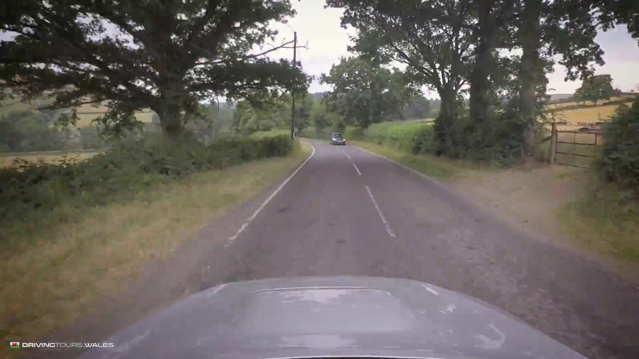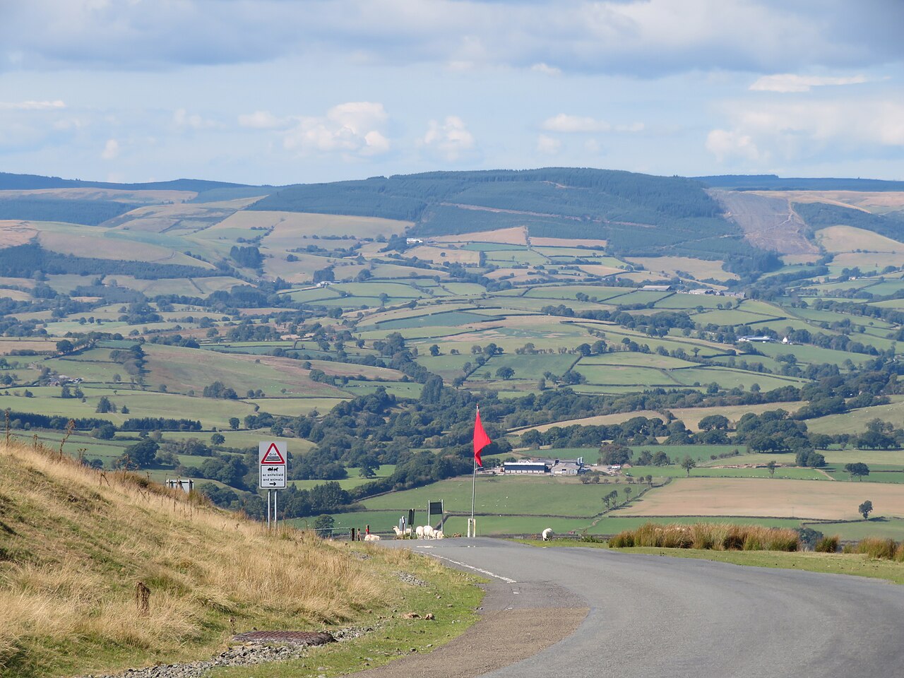
The B4519 is the road across the Epynt ranges, climbing from the A483 near Garth over Mynydd Epynt to Upper Chapel. Our 6.3 mile line tops out at 455 m on the plateau, which sits at roughly 400 to 450 m. Within a few minutes of leaving the Irfon valley the farms fall away and you are on an open, fenced road across the top of the ranges.
This is the high moorland the army took over in 1940. Since then Mynydd Epynt has been part of the Sennybridge Training Area, the third largest military training area in the UK. The farming community was cleared to make way for it: 54 farms and a pub were emptied by June 1940, and the loss of this Welsh-speaking district is still remembered as Cofiwch Epynt. The B4519 itself is the dividing line between two parts of the training area, with the live firing area on one side. The Drovers Arms, the old pub that served hill farmers and drovers, still stands derelict beside the road near its highest point.
It is a fast, quiet crossing with long sightlines and very little traffic, the hills rolling away towards the Brecon Beacons ahead and the Cambrian Mountains behind. The road drops off the plateau at Upper Chapel, where it meets the B4520. Turn left for Brecon or right for Builth Wells and you have one of the best moorland pairings in Wales. We take it south from Garth, so the climb comes first and the Beacons fill the view on the way down.
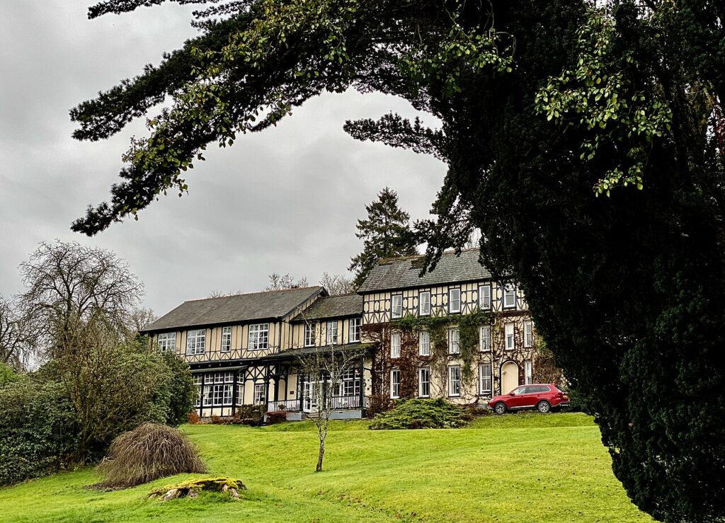
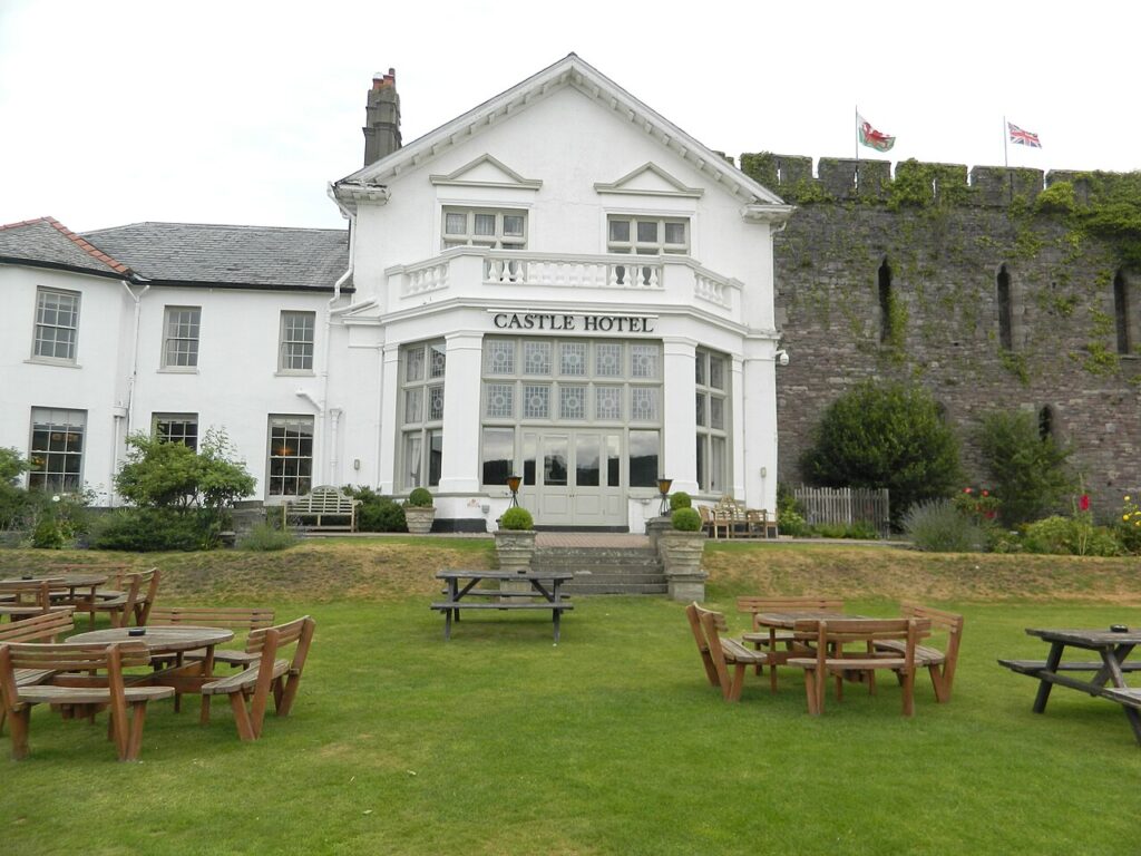
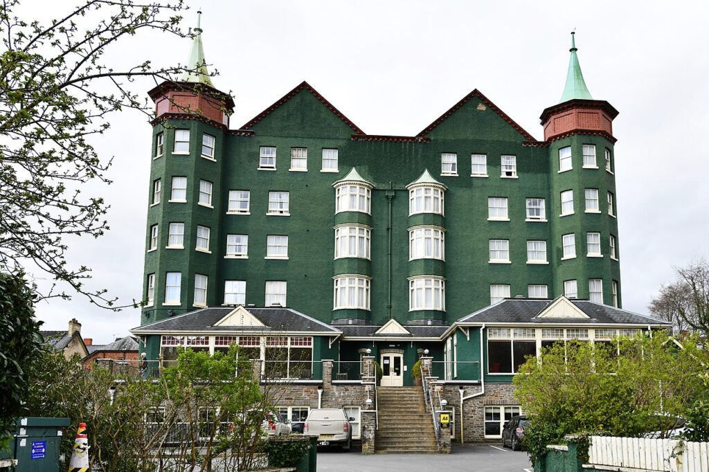
Stay at The Lake Country House at Llangammarch Wells, a few miles from Garth, or at the Castle of Brecon at the far end. The Metropole in Llandrindod Wells is the other good base.
Good to know
- 01The road runs through the Sennybridge Training Area. Red flags by day or red lights by night mean the area is in military use. Obey every sign, and do not stop or leave the road on the ranges.
- 02The army publishes Sennybridge firing times each month, and Sennybridge Range Control can tell you what is on.
- 03Sheep graze right up to the tarmac and cattle grids punctuate the crossing. In 2005 alone, 31 sheep were lost on the training area roads.
- 04The Epynt Visitor Centre, a former farmhouse on the B4519, has boards on the area and the military activity you may see or hear.
- 05Join it with the B4520 at Upper Chapel for a full run to Brecon or back to Builth Wells. It is a county road, so closures come from Powys County Council or the range, not Traffic Wales.
Photo: B4519 heading down the hill – geograph.org.uk – 7300198 by Gordon Hatton, CC BY-SA 2.0