
Guide
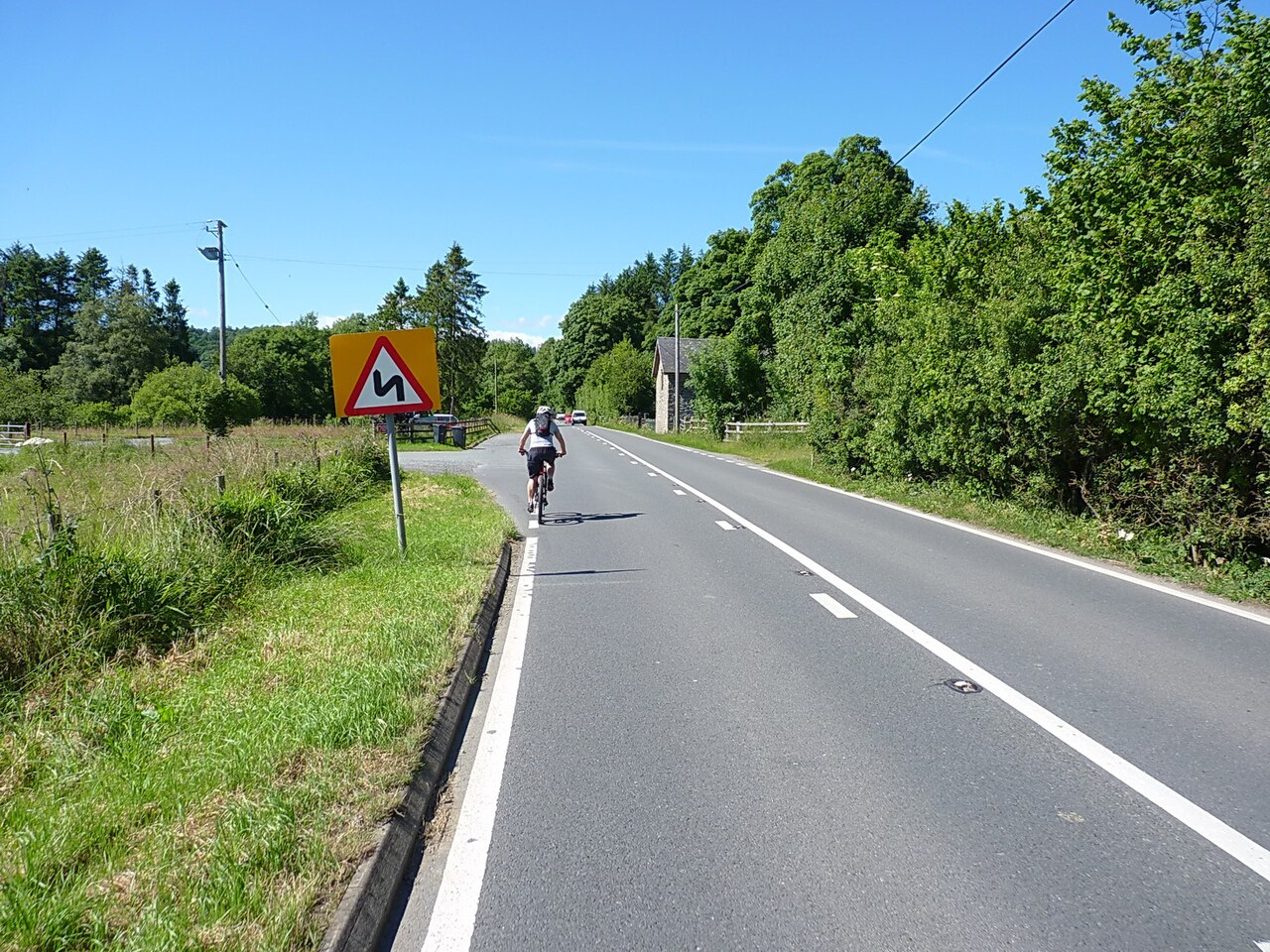
Stage 3 of the 2027 Tour de France runs 223 km from Welshpool to Cardiff on Sunday 4 July 2027, and every road on it will be fully closed for several hours. No closure times have been published for any road on the stage as of 5 November 2026. Anyone quoting a time today is guessing. This page gives what organisers and councils have confirmed, the route traced road by road from the organiser’s own map, and what to do with a car that weekend. We will update it as times appear.
The stage at a glance
| Date | Sunday 4 July 2027 |
|---|---|
| Start and finish | Y Trallwng (Welshpool) to Caerdydd (Cardiff) |
| Length | 223 km, about 139 miles |
| Climbs | Eight categorised, six of them in the last 80 km |
| Intermediate sprint | On the A483 entering Llandrindod Wells |
| Cost to watch | Free at the roadside |
| Closure times | Not yet published |
It is the first Tour stage held in Wales, and the Welsh Government has confirmed the sprint and the climb count. Visit Wales has also made 2027 its Year of Cycling. The listing on our events calendar is here.
The route, town by town
The organiser embeds a technical route map on its stage page. We traced that line against street data to produce the table below, so the road names are our reading of its map, not a list it has published. Kilometres are approximate and counted from the flag drop just south of Welshpool. Powys County Council’s list of places agrees with it through the county.
| Km | Place | Road |
|---|---|---|
| 0 | Welshpool, past Powis Castle | A483 |
| 12 to 20 | Abermule, Newtown | A483, Severn valley |
| 24 to 56 | Dolfor, Llanbister, Crossgates | A483, Ithon valley |
| 59 | Llandrindod Wells, sprint | A483 |
| 72 to 84 | Builth Wells, Cilmeri, Garth | A483 |
| 84 to 108 | Mynydd Epynt, Merthyr Cynog, Brecon | B4519, then B4520 |
| 112 to 124 | Libanus, the pass under Pen y Fan | A470 |
| 124 to 140 | Penderyn, Hirwaun | A4059 and local roads |
| 141 to 156 | The Rhigos, Treherbert, Treorchy | A4061 |
| 159 to 172 | Penrhys, Ferndale, Maerdy | Penrhys Road, A4233 |
| 172 to 188 | Aberdare, Mountain Ash, Abercynon, Nelson | A4059 and local roads |
| 192 to 208 | Gelligaer, Hengoed, Maesycwmmer, Caerphilly | Local roads, A469 |
| 208 to 222 | Caerphilly Mountain, Rhiwbina, Cardiff city centre | Caerphilly Road into the finish |
The organiser says eight categorised climbs. Its map labels seven, listed below. Unofficial lists add a climb at Gelligaer, which we could not confirm, and we found no published categories or gradients.
| Climb, as named on the map | Km | Length |
|---|---|---|
| Côte de Epynt | 82 to 86 | 3.7 km |
| Côte de Bannau Brycheiniog | 115 to 121 | 6.7 km |
| Côte de Rhigos | 141 to 145 | 4.6 km |
| Côte de Penrhys | 159 to 160 | 1.3 km |
| Côte de Maerdy | 167 to 169 | 1.5 km |
| Côte de Hengoed | 197 | 0.7 km |
| Côte de Caerffili | 208 to 210 | 2 km |
Which of our roads it uses
We laid our own measured roads over the organiser’s line. Five of them carry the race for a meaningful distance, and the table holds our figures for each full road.
| Road | Class | Length | Time | Summit |
|---|---|---|---|---|
| The A483 through the Ithon valley | Driving road | 20.7 mi | 40 min | 376 m |
| The B4519 across the Epynt ranges | Driving road | 6.3 mi | 15 min | 455 m |
| Over the Beacons on the A470 | Driving road | 19.6 mi | 40 min | 440 m |
| The A4059 ‘RS Country’ | Driving road | 17.1 mi | 35 min | 450 m |
| The Rhigos and the Bwlch | Driving road | 22.6 mi | 45 min | 530 m |
- The A483 through the Ithon valley is on the route almost end to end, run north to south.
- The B4519 across the Epynt ranges is used in full. The stage then continues on the B4520 south of Upper Chapel, a stretch our B4520 page does not cover. The last few miles into Garth use part of our A483 route.
- The A470 over the Beacons is used on its northern half only, climbing from Brecon. The stage then turns on to the line of our A4059 route to Penderyn.
- The Rhigos and the Bwlch is half used. The race takes the Rhigos down to Treherbert and on to Treorchy, then leaves for Penrhys. It does not cross the Bwlch.
When roads close
This is the whole of what has been published, and each point comes from an organiser or a council:
- The organiser says closures are full closures along the stage and around the start and finish, with diversions. Its page gives two different dates for the full list of roads and times, the second half of 2026 in one place and early 2027 in another. Neither list is out yet.
- Powys County Council expects closures of several hours on race day, and warns that adjoining roads and junctions may also be restricted.
- Rhondda Cynon Taf says the closures will take up much of the day, and that vehicles left parked on the route will be removed.
- Caerphilly’s council leader has said to expect extensive closures on the day.
The organiser’s general guide for all its stages is a start between about 11am and 2pm and a finish around 4pm to 5pm, with the publicity caravan running two hours ahead of the race. Those are typical figures, not this stage’s timetable, which will come closer to the race. Walkers and cyclists can generally use closed roads until about 30 minutes before the caravan arrives. Residents and businesses cannot drive on them until they reopen.
Where to watch by car, and where not to
Our advice is simple: do not try to watch from the car. Parking along the route is restricted, and organisers ask spectators to walk or cycle in. Spectator parking and travel details have not been published. We would not count on any roadside car park on the line, including Pont ar Daf on the A470, until a council says it will be open.
We would stay within walking distance of the route or take the train. Visit Mid Wales points to the Cambrian Line for Welshpool and the Heart of Wales Line for Llandrindod Wells and Builth Road. Fan zones are confirmed for the Welshpool start and the Cardiff finish. The stage is also free on 5, which broadcasts all the Grand Départ stages.
Hotels within reach
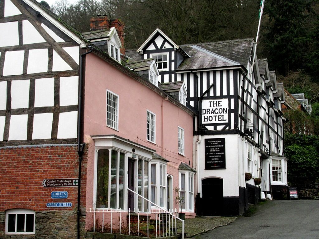
Demand will be high on the nights of 3 and 4 July, so we would book now. If a hotel is in a town on the route, ask how and when the car can leave on the Sunday. These three sit on or close to the line, near the Welshpool start at Montgomery, then in Llandrindod Wells and Brecon.
The Dragon Hotel
A Grade II listed former coaching inn on the Market Square in Montgomery, with around twenty bedrooms, a…
Check rates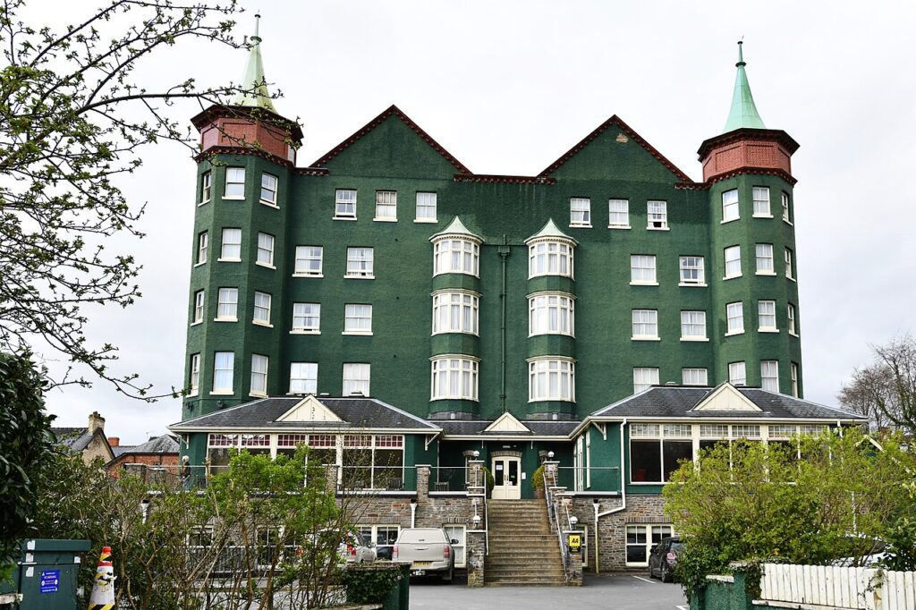
The Metropole Hotel & Spa
The big hotel of Llandrindod Wells, run by one family for 125 years until 2022, with 109 rooms,…
Check rates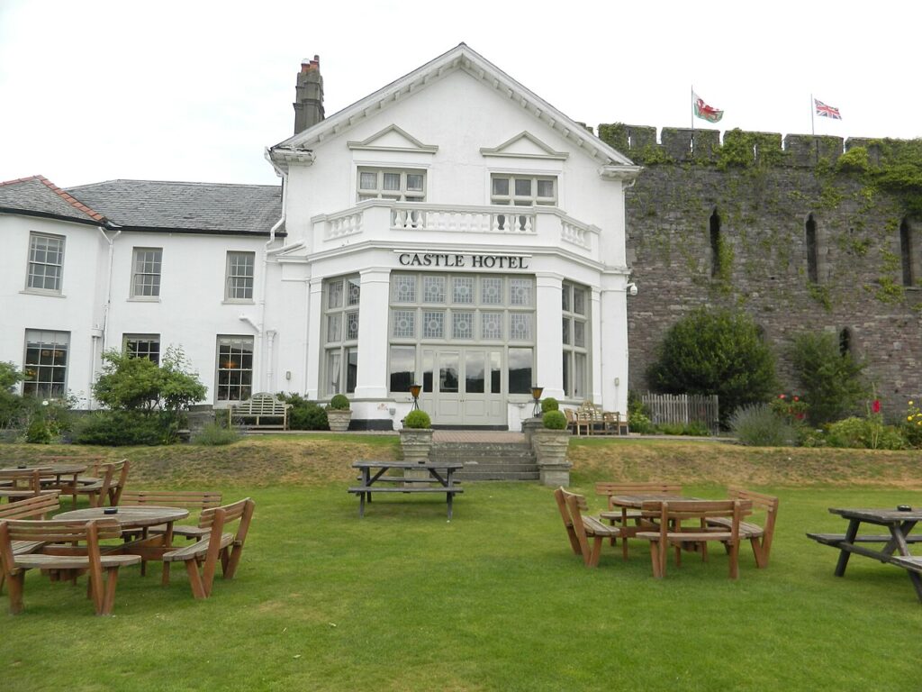

Castle of Brecon Hotel
A coaching hotel built from 1809 into the remains of Brecon's Norman castle, above the Usk, with 43…
Check ratesFor the finish, Hotel Indigo and voco St David’s are in the city, and you should expect to leave the car parked until the roads reopen. Miskin Manor at Pontyclun is well clear of the line as mapped, which makes it the better choice if you need the car that evening. Our full list is on where to stay.
Driving these roads before and after
The better drive is any day but that Sunday. We would take the A470, the A4059 and the Rhigos as one run a few days before or after, using our Cambrian Way trip, whose third day already joins them. Expect far more riders than usual on the climbs through 2027, and give them room. Our guide to driving in Wales has the rules for visitors, and the 20 mph page covers the towns. If you are driving a longer Welsh loop that week, our seven days can be run to miss the Sunday.
Last checked 5 November 2026.
Quick answers
- What time do the roads close for the Tour de France in Wales?
- Nobody can say yet. As of 5 November 2026 neither the organiser nor the councils on the route have published times. Powys expects closures lasting several hours on the day.
- Will the Tour de France close the A470 in 2027?
- Yes, for part of it. The organiser's map follows the A470 south from Brecon past Libanus to the pass below Pen y Fan, then leaves it for the A4059.
- Does the Tour de France go over the Rhigos and the Bwlch?
- The Rhigos, yes: it is a named climb on the stage. The Bwlch, no. The race leaves the A4061 at Treorchy and heads for Penrhys.
- Where does the Tour de France finish in Cardiff?
- In the city centre. The organiser's map brings the race in from Caerphilly Mountain through Rhiwbina and down Cathedral Road. Finish-area closures have not yet been listed road by road.
- Is it free to watch the Tour de France in Wales?
- Yes, at the roadside. Fan zones are planned at Welshpool and Cardiff, and paid hospitality may be sold separately.
- Can I park on the route on the morning of the stage?
- No. Parking restrictions will apply along the whole stage and vehicles left there will be removed. Residents on the route will hear from their council about alternatives.
Reviewed by Drive Tour Wales in November 2026. Conditions, limits and opening times change, so check before you travel.