The A4059 ‘RS Country’: Brecon to Penderyn

Routes / South Wales

The A4059 ‘RS Country’

Driving road A4059 Brecon to Penderyn

Distance17.1mi
Drive time35min
Summit450m
Total climb419m
Limits30–60mph
RegionSouth

Driving road Built for driving: well surfaced and rewarding behind the wheel.

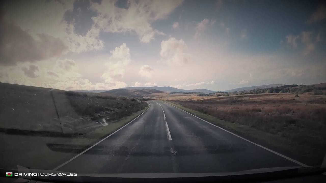
The A4059 is known to drivers as ‘RS Country’. It is 17.1 miles on our line, from Brecon to Penderyn across Bannau Brycheiniog (the Brecon Beacons), and it reaches 450 m. The road is used for all sorts of TV and film work.

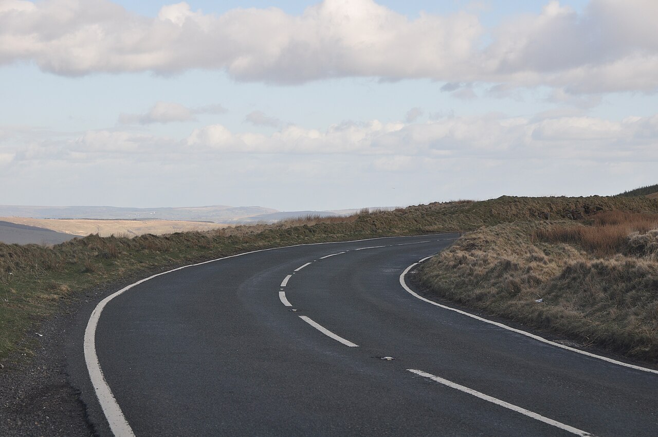
It helps to know how the line breaks down. The first 9 miles or so are on the A470 south of Brecon, a main road that sets you up for the hills. The A4059 itself is about the last 7 miles. That is the part with the name: fast and wide, with good overtaking chances, long sight lines and faster open corners across the moor, before it drops down to Penderyn, home of the Welsh whisky distillery.

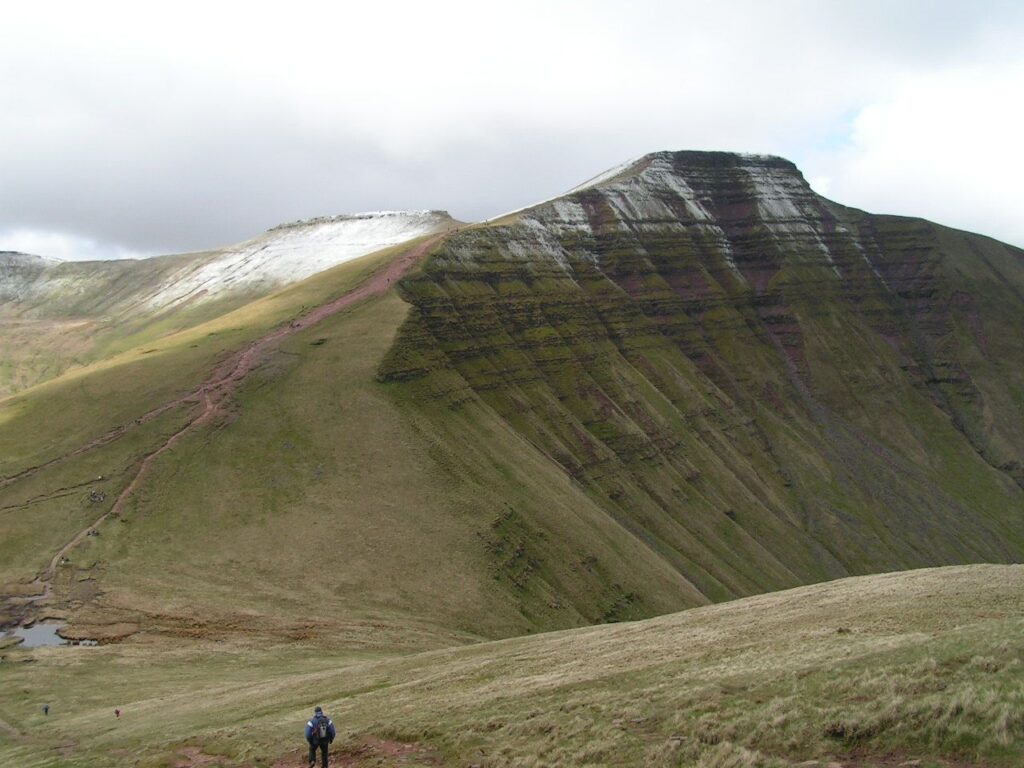
We would drive it north to south, as the line does, so the views open as you leave the A470. If you only want the moorland road, you can turn off the A470 and drive just that stretch. The National Trust car park at Pont ar Daf on the A470 is the shortest walk up Pen y Fan, but it fills very early at weekends.

The camera schemes you may read about on the A4059 are not on this section. Rhondda Cynon Taf Council and GoSafe brought in lower limits and average speed cameras further south, between Abercynon and Cwmbach, enforced from 1 October 2025. It is the same road number, so if you carry on past Hirwaun, watch for them.

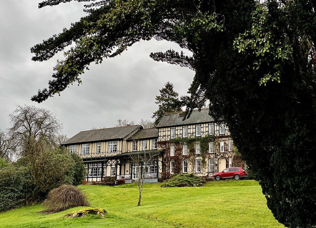
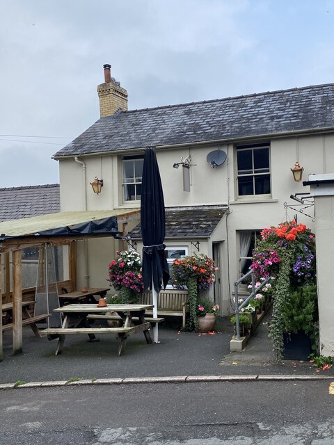
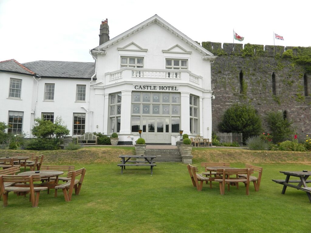
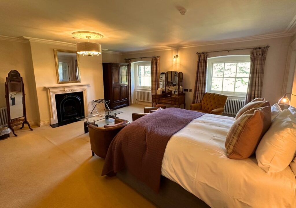
Stay in Brecon at the Castle of Brecon Hotel. For food and coffee after Penderyn, The Pits is at Hirwaun. The Rhigos and the Bwlch start there as well, and the other way across the Beacons is the A470 to Merthyr Tydfil.

Good to know

  1. 01
    Sheep and horses are a real hazard on this stretch. Stay on the ball.
  2. 02
    Map data shows limits of 30 to 60 mph along the line. Go by the signs: open moorland makes it easy to creep over.
  3. 03
    Our fuel map shows two forecourts in Brecon and Rhos Filling Station near Ystradfellte, just off the A4059. The nearest rapid charger is in Merthyr Tydfil, so charge before Brecon if you need to.
  4. 04
    The A470 is a trunk road that Traffic Wales covers. For the A4059 in snow, check with Powys County Council.

Filmed by Driving Tours Wales. All speed limits were observed during filming; the playback is sped up to make it more watchable. Please drive safely and within the law.
The climb

130 m to 450 m · summit at 10.6 mi
Start · 0 miFinish · 17.1 mi

Up top today

Forecast at the summit, 450 m · updated 04:22
Take care

Rain on the top

Drive it, but take the high section gently.

Now
Rain
Air
7°C
Wind
13mph SW
Road
Wet
Golden hour · This morning

07:16to08:34

Sunrise 07:46 · Likely lost in cloud
  1. Today Take care 6–8°C · wind to 16 mph · 9 mm rain · rain
  2. Tomorrow Give it a miss 4–7°C · wind to 6 mph · 3 mm rain · thick fog
  3. Friday Take care 5–6°C · wind to 11 mph · dry · thick fog

Forecast from MET Norway, refreshed hourly. Mountain weather turns fast: check before you set off.

The live map

The film, turns, cameras and stops along the road

Quick answers

How long is The A4059 ‘RS Country’?
The A4059 ‘RS Country’ is 17.1 miles from Brecon to Penderyn and takes about 35 minutes to drive without stopping.
How high does The A4059 ‘RS Country’ go?
It reaches 450 metres (1,476 feet) at its highest point, with 419 metres of climbing along the way.
What is the speed limit on The A4059 ‘RS Country’?
Limits along the route are 30–60 mph. Always follow the signs on the road, as Welsh limits can change.
What kind of car suits The A4059 ‘RS Country’?
We class it as a Driving road. Built for driving: well surfaced and rewarding behind the wheel.
Where should I stay near The A4059 ‘RS Country’?
The graded hotels we would choose near this road are Castle of Brecon Hotel, Peterstone Court Country House & Spa and The Lake Country House & Spa.
Where does the A4059 start and finish?
Our driving route starts in Brecon, uses about 9 miles of the A470 and then the A4059 to Penderyn. The road number carries on south past Hirwaun towards Abercynon.
Are there speed cameras on the A4059?
The confirmed average speed scheme is further south, between Abercynon and Cwmbach, enforced from 1 October 2025. We found no official notice of one on the moorland section, so follow the signs.
What is there to see near the A4059?
Pont ar Daf on the A470 is the shortest walk up Pen y Fan, and Penderyn at the south end is home to the Welsh whisky distillery.

Read more about this road

The Logbook →

Graded hotels within easy reach of the road, the four and five stars first.

Stop along the way

All stops on the map →
Bridgend District , The A4107 - geograph.org.uk - 3903149
Next road · South Wales

The Afan valley

Pontrhydyfen to the Rhondda · 11.1 mi Drive it next →