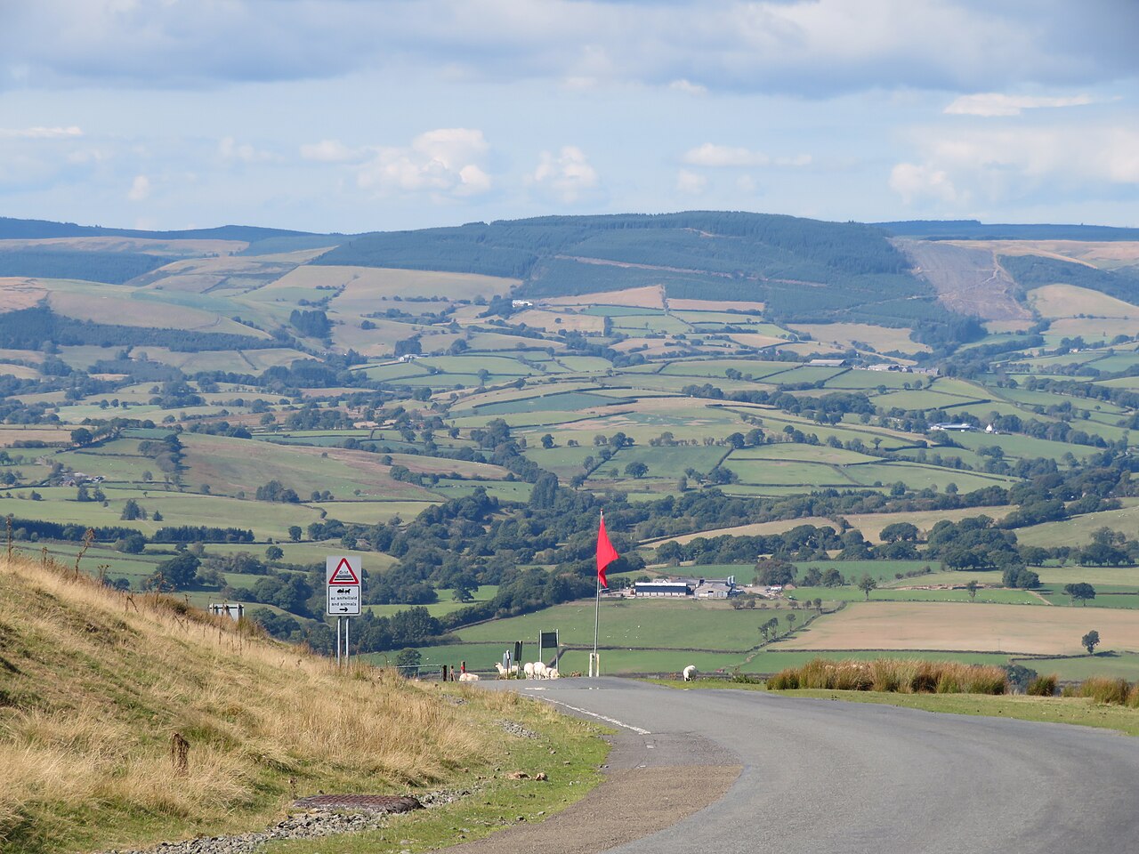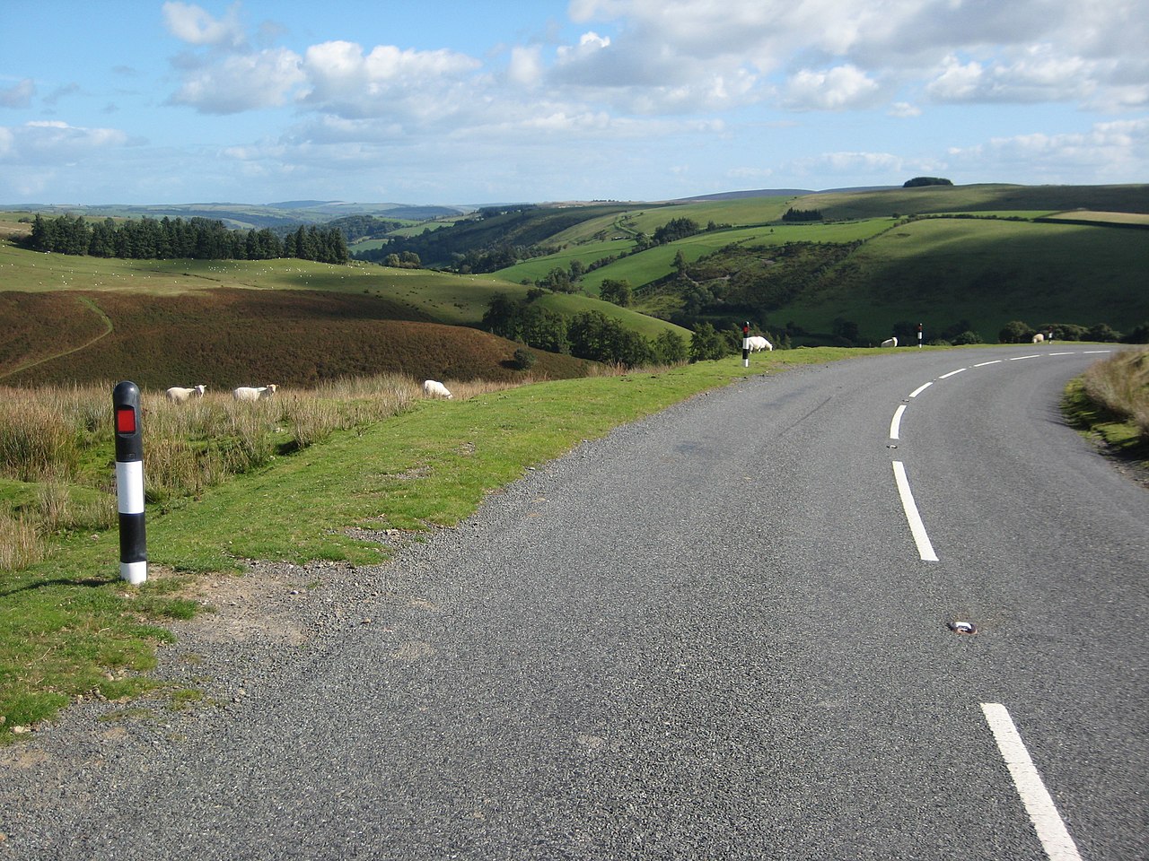
The B4355 over Kerry Hill is the back road from the upper Teme valley to Newtown. This stretch starts at Beguildy, Bugeildy in Welsh, roughly the shepherd’s house, runs up the valley through Felindre and then climbs over Kerry Hill to meet the A483 at Dolfor. Our 9.1 mile line tops out at 470 m on the open moor. Little known outside mid Wales, it is a cracking road.
The valley section is quick and flowing, the road tracking the young River Teme between steep green hills. The river rises in the hills near Kerry, and for several miles below Felindre it runs roughly along the border between England and Wales. Before you set off, Beguildy’s church is worth a look: its 15th-century rood screen still carries its original coloured Tudor roses.
Beyond Felindre the road climbs onto the high ground, where the views open out across the border hills and the Kerry Ridgeway runs along the skyline. The Ridgeway is an old drovers’ route of about 15 miles from Cider House Farm near Kerry to Bishop’s Castle, and it never drops below 300 m. It is a road that rewards a smooth driver, with long sweepers and very little traffic, before it drops off the hill to Dolfor, a hamlet three miles south of Newtown. We drive it north, from Beguildy to Dolfor, so the climb onto Kerry Hill unfolds ahead of you.
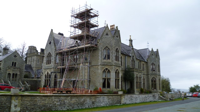
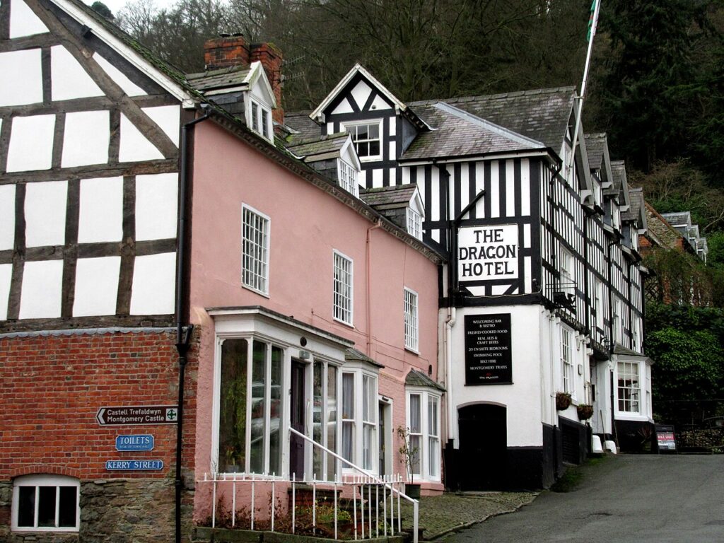
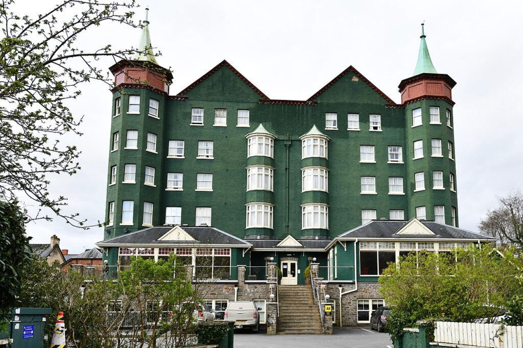
Stay in Montgomery at The Dragon Hotel, a 17th-century coaching inn on the town square, or at Mellington Hall. To the south, The Metropole in Llandrindod Wells is the grand Edwardian option. From Dolfor, the A483 through the Ithon valley is the natural run back south to Crossgates.
Good to know
- 01The open moorland at the top has sheep grazing beside the road. Slow down early.
- 02Motorcyclists love this road, so expect bikes on fine weekends.
- 03The B4355 is a county road, so check closures with Powys County Council rather than Traffic Wales.
- 04Join the A483 at Dolfor to continue north to Newtown or back south to Crossgates. Newtown has had a bypass to the south-east since 2019.
- 05There is nothing on the road itself in the way of fuel. Our fuel map shows the nearest forecourts.
Photo: B4355 and upper Teme valley – geograph.org.uk – 2069376 by Philip Halling, CC BY-SA 2.0