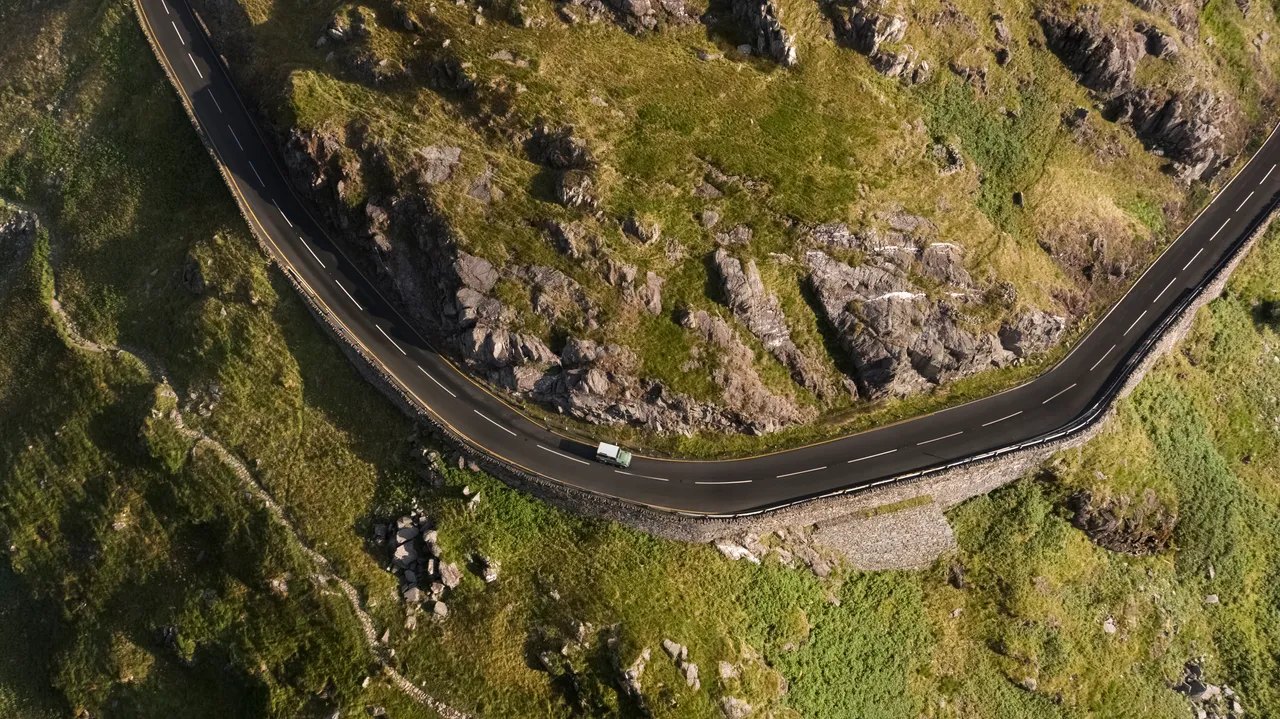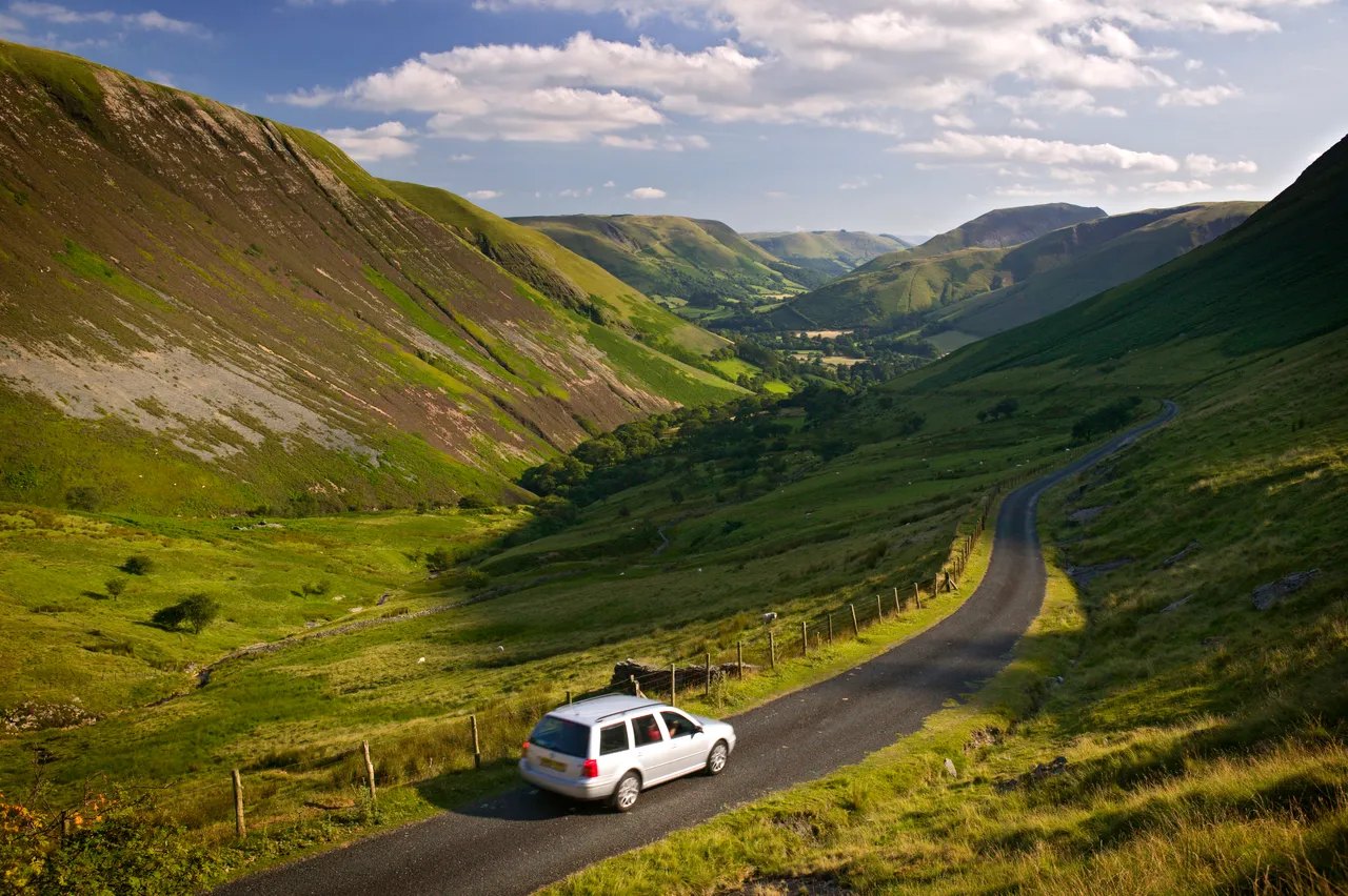
Car touring on Bwlch y Groes

Routes / North Wales

Bwlch y Groes (Hellfire Pass)

Scenic road Dinas Mawddwy to Bala

Distance18.3mi
Drive time35min
Summit546m
Total climb741m
Limits30–60mph
RegionNorth

Scenic road Slower, narrower and more scenic. Rough in places, so not the best for low, stiff performance cars.

Bwlch y Groes, the Pass of the Cross, is the second-highest public road pass in Wales and one of its hardest climbs. Our 18.3 mile line runs from Dinas Mawddwy to Bala and reaches 546 m, against the 545 m given by Wikipedia, citing the Ordnance Survey. You will see it called the highest road in Wales, but that title belongs to the Gospel Pass. Many people know it as the Hellfire Pass.

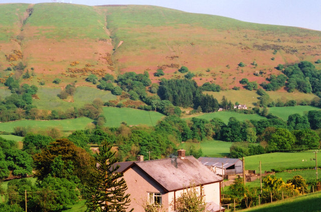
The side you take matters. From Dinas Mawddwy a narrow lane follows the Dyfi past Llanymawddwy, then the southern ascent goes up about 1.7 miles at severe gradients, the steepest at 1 in 4. The northern side down to Llanuwchllyn is a much longer valley. We would go south to north, as our line does, so the steep part is a climb in low gear and not a long descent on hot brakes.

Car and motorcycle makers once came here for that reason. Austin and Standard Triumph tested prototypes on it, BSA won the Maudes Trophy in 1926 for 60 ascents, and the International Six Days Trial used it between 1933 and 1954. Just below the summit, at the junction with the road from Lake Vyrnwy, a cross commemorates the place of the pass on a pilgrim route.

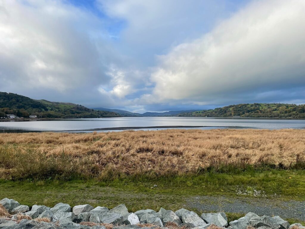
Keep left at the top for the long valley down to Llanuwchllyn, then the lake road to Bala, about 13 miles on lanes and the rest on the B4403 or A494. The turning to the right drops to Lake Vyrnwy, where the Lake Vyrnwy Hotel is the obvious place to stay. Finish beside Llyn Tegid, or go back west on the A494 to Dolgellau. Before the climb, The Firecat at Camlan Uchaf in Mallwyd holds 2 AA Rosettes.

Good to know

  1. 01
    This is a single-track road with passing places and very steep sections. It is not suitable for caravans, trailers or large vans.
  2. 02
    Take it slowly downhill and use a low gear. Overheated brakes are common here.
  3. 03
    In winter the top can be icy or closed by snow when the valleys are clear. It is a county road, so check with Gwynedd Council and not Traffic Wales.
  4. 04
    Our fuel map shows Mallwyd Service Station just before the start, then Essar at Llanuwchllyn and two forecourts in Bala. There is a charger in Bala.

Photo: Car touring on Bwlch y Groes, © Crown copyright, Visit Wales
The climb

80 m to 546 m · summit at 7.3 mi
Start · 0 miFinish · 18.3 mi

Up top today

Forecast at the summit, 546 m · updated 04:21
Give it a miss

Give it a miss today

Thick fog over the top. Friday looks better.

Now
Rain
Air
5°C
Wind
11mph SW
Road
Wet
Golden hour · This morning

07:20to08:40

Sunrise 07:50 · Likely lost in cloud
  1. Today Give it a miss 5–7°C · wind to 14 mph · 6 mm rain · thick fog
  2. Tomorrow Give it a miss 3–5°C · wind to 11 mph · dry · thick fog
  3. Friday Take care 1–4°C · wind to 13 mph · dry · frost in the shade

Forecast from MET Norway, refreshed hourly. Mountain weather turns fast: check before you set off.

The live map

Turns, cameras, viewpoints and stops along the road

Quick answers

How long is Bwlch y Groes (Hellfire Pass)?
Bwlch y Groes (Hellfire Pass) is 18.3 miles from Dinas Mawddwy to Bala and takes about 35 minutes to drive without stopping.
How high does Bwlch y Groes (Hellfire Pass) go?
It reaches 546 metres (1,791 feet) at its highest point, with 741 metres of climbing along the way.
What is the speed limit on Bwlch y Groes (Hellfire Pass)?
Limits along the route are 30–60 mph. Always follow the signs on the road, as Welsh limits can change.
What kind of car suits Bwlch y Groes (Hellfire Pass)?
We class it as a Scenic road. Slower, narrower and more scenic. Rough in places, so not the best for low, stiff performance cars.
Where should I stay near Bwlch y Groes (Hellfire Pass)?
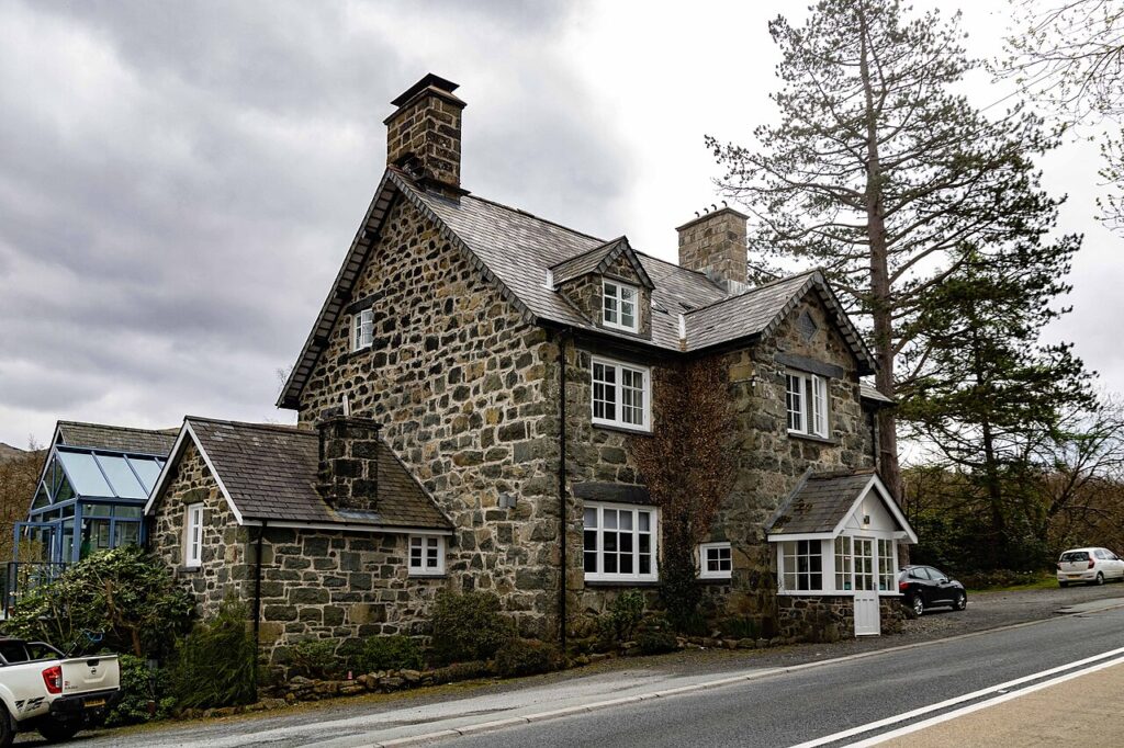
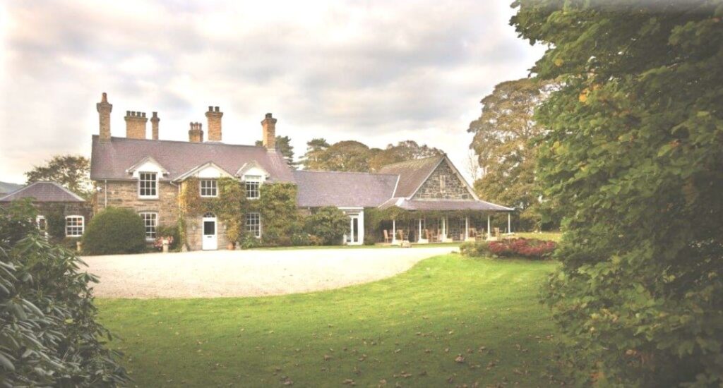
The graded hotels we would choose near this road are Palé Hall, Cross Foxes and Tyddyn Llan.
Is Bwlch y Groes the highest road in Wales?
No. It is the second-highest public road pass. The Gospel Pass in the Black Mountains is slightly higher.
Why is Bwlch y Groes called Hellfire Pass?
It is a nickname used by some, especially cyclists. The Welsh name means Pass of the Cross.
How steep is Bwlch y Groes?
The southern ascent from the Dinas Mawddwy side reaches 1 in 4 at its steepest, over about 1.7 miles of severe gradient.
Which way should I drive Bwlch y Groes?
We would go up from Dinas Mawddwy and down to Llanuwchllyn and Bala, so the steepest part is a climb and not a descent.
Can you get to Lake Vyrnwy from Bwlch y Groes?
Yes. A road splits off near the summit and drops to Lake Vyrnwy, where the Lake Vyrnwy Hotel is the place we would stay.

Read more about this road

The Logbook →

Graded hotels within easy reach of the road, the four and five stars first.

Stop along the way

All stops on the map →
The road through Nant Gwynant from above
Next road · North Wales

Nant Gwynant and the Aberglaslyn Pass

Pen-y-Gwryd to Porthmadog · 15.6 mi Drive it next →