Ramshaw Rocks 13

Routes / Over the border

Ramshaw Rocks and Axe Edge

Driving road A53 Leek to Buxton

Distance12.8mi
Drive time25min
Summit499m
Total climb441m
Limits50–60mph
RegionOver the border

Driving road Built for driving: well surfaced and rewarding behind the wheel.

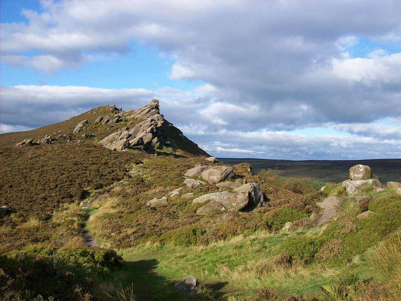
The A53 leaves the market town of Leek and climbs past the Roaches and Ramshaw Rocks onto the high plateau of Axe Edge. It crosses some of the highest ground in the Peak District before descending into Buxton.

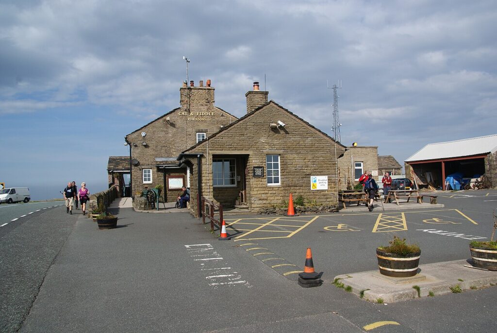
The rural sections at each end are superb single carriageway, quick and open with long sightlines across the moor. Ramshaw Rocks, a jagged gritstone outcrop beside the road, hides the Winking Man, a rock formation that appears to wink as you drive past. The plateau beyond Upper Hulme rises above 450 metres, bleak and spectacular in equal measure. Combine it with the Cat and Fiddle for a fine loop from Buxton.

Good to know

  1. 01
    The limit over the high plateau was cut to 50 mph in 2008 after a poor safety record; enforcement is regular.
  2. 02
    The road is exposed and often blocked by snow in winter.
  3. 03
    Parking for Ramshaw Rocks is a small lay-by, best reached early at weekends.

Photo: Ramshaw Rocks 13 by Tony Grist, Public domain
The climb

187 m to 499 m · summit at 9.2 mi
Start · 0 miFinish · 12.8 mi

Up top today

Forecast at the summit, 499 m · updated 04:21
Take care

Fog at times on the top

Drive it, but take the high section gently.

Now
Fog
Air
3°C
Wind
5mph SW
Road
Dry
Golden hour · This morning

07:14to08:36

Sunrise 07:46 · Likely lost in cloud
  1. Today Take care 3–7°C · wind to 9 mph · 2 mm rain · thick fog
  2. Tomorrow Take care 4–5°C · wind to 14 mph · dry · patchy fog
  3. Friday Take care 2–5°C · wind to 16 mph · dry · frost in the shade

Forecast from MET Norway, refreshed hourly. Mountain weather turns fast: check before you set off.

The live map

Turns, cameras, viewpoints and stops along the road

Quick answers

How long is Ramshaw Rocks and Axe Edge?
Ramshaw Rocks and Axe Edge is 12.8 miles from Leek to Buxton and takes about 25 minutes to drive without stopping.
How high does Ramshaw Rocks and Axe Edge go?
It reaches 499 metres (1,637 feet) at its highest point, with 441 metres of climbing along the way.
What is the speed limit on Ramshaw Rocks and Axe Edge?
Limits along the route are 50–60 mph. Always follow the signs on the road, as Welsh limits can change.
What kind of car suits Ramshaw Rocks and Axe Edge?
We class it as a Driving road. Built for driving: well surfaced and rewarding behind the wheel.
Where should I stay near Ramshaw Rocks and Axe Edge?
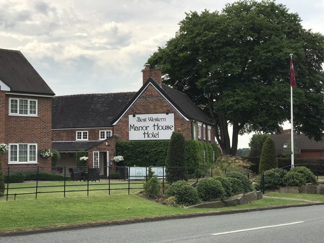
The graded hotels we would choose near this road are Mottram Hall and Manor House.

Read more about this road

The Logbook →

Graded hotels within easy reach of the road, the four and five stars first.

Stop along the way

All stops on the map →
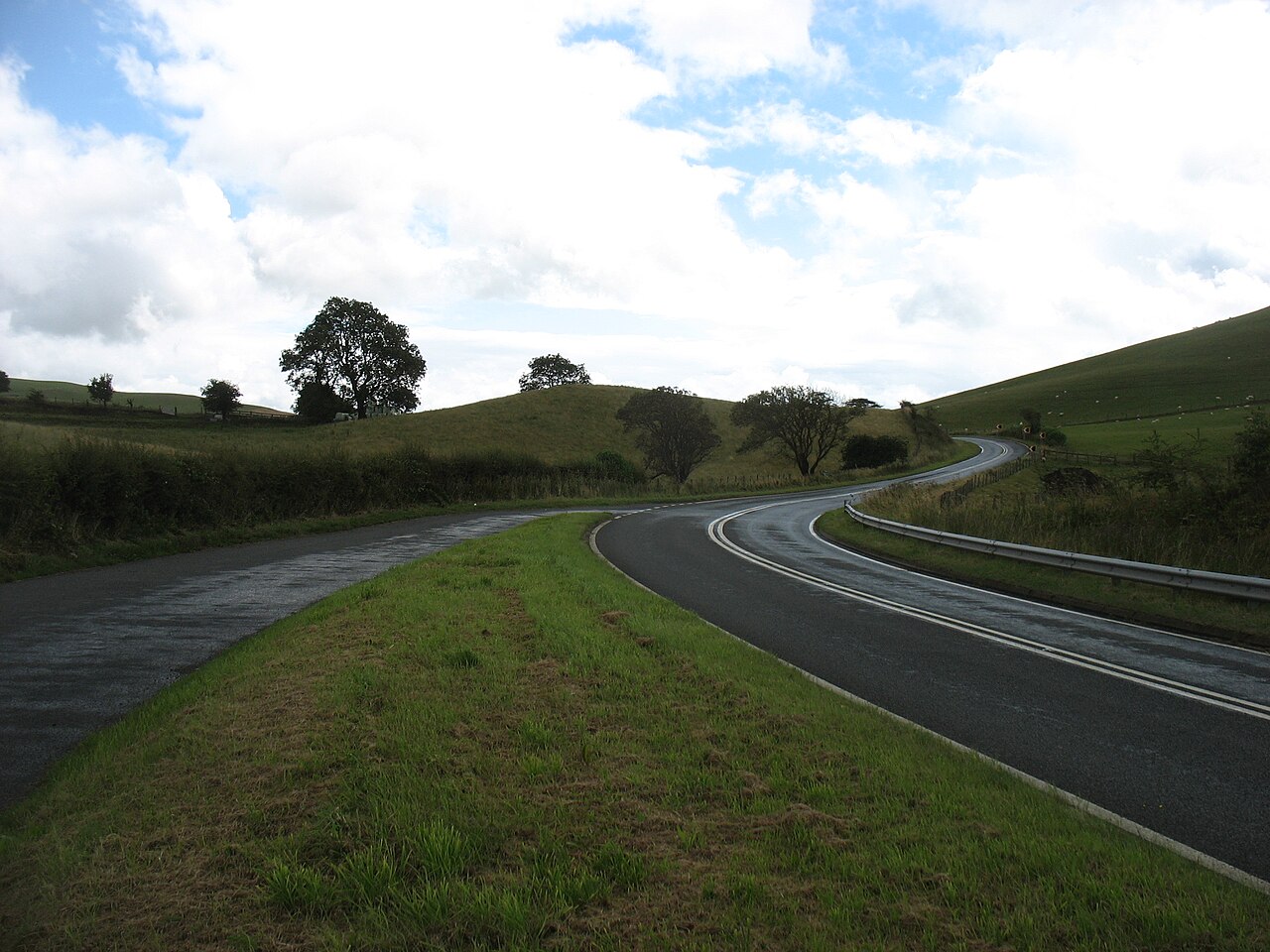
The A44 heading for New Radnor, sweeping bends between green hills
Next road · Over the border

The A44 into Wales

Worcester to the Radnor Forest · 47.2 mi Drive it next →