
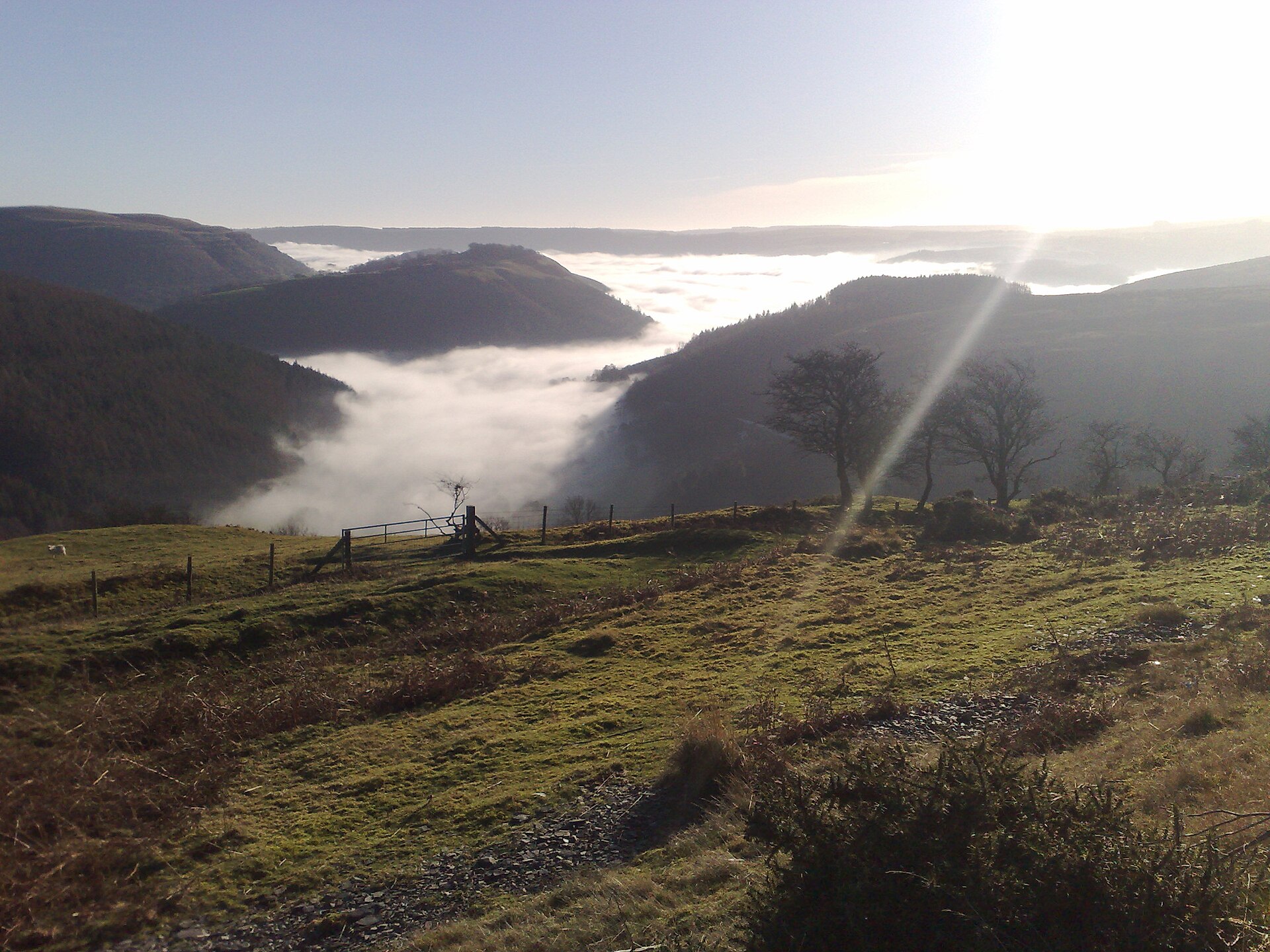
Chester and Liverpool have the luck to sit beside North Wales. The A55 and A483 put the first proper hill road within 40 minutes of either city, and the Peak District is the same distance the other way.
01Into Wales
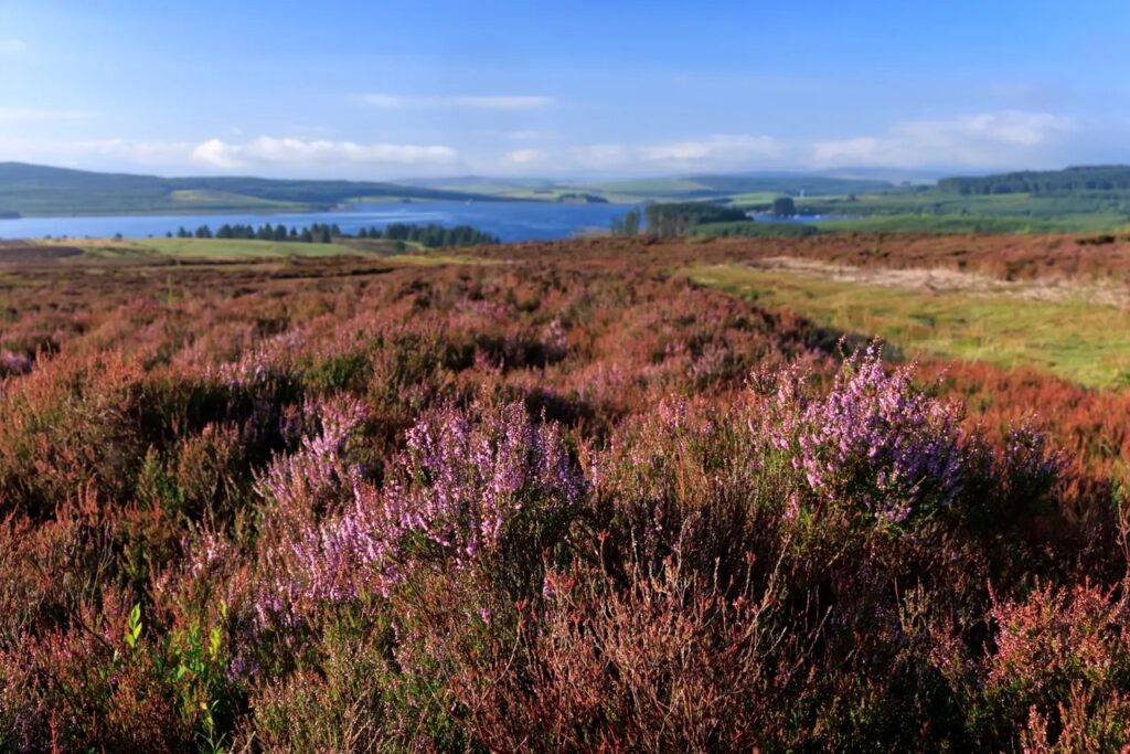
The Clwydian Range, 40 minutes. From Mold, cross the hills on Bwlch Penbarras to Ruthin. It is short and steep, a good first taste.
The Horseshoe Pass, under an hour. The A483 to Llangollen and straight up the Horseshoe Pass, then down to Ruthin. Combine it with Bwlch Penbarras for a loop.
The Evo Triangle, about 75 minutes. The A55 to St Asaph, Denbigh and the A543 across the Denbigh Moors, then the full Evo Triangle. Home by the A5 and Llangollen, taking the Horseshoe Pass on the way.
Further in. Milltir Gerrig, Lake Vyrnwy and the Llanberis Pass are all within two hours.
| Road | Class | Length | Time | Summit |
|---|---|---|---|---|
| Bwlch Penbarras and the Clwydian Range | Scenic road | 5.5 mi | 10 min | 360 m |
| The Horseshoe Pass, Bwlch yr Oernant (A542) | Driving road | 15.2 mi | 30 min | 416 m |
| The Evo Triangle (A5, B4501, A543) | Driving road | 23.0 mi | 45 min | 464 m |
| The B4391 over Milltir Gerrig | Driving road | 12.7 mi | 25 min | 486 m |
| Lake Vyrnwy | Scenic road | 18.2 mi | 35 min | 337 m |
| The Great Orme and the Conwy valley | Scenic road | 26.2 mi | 50 min | 153 m |
02Into the Peak District
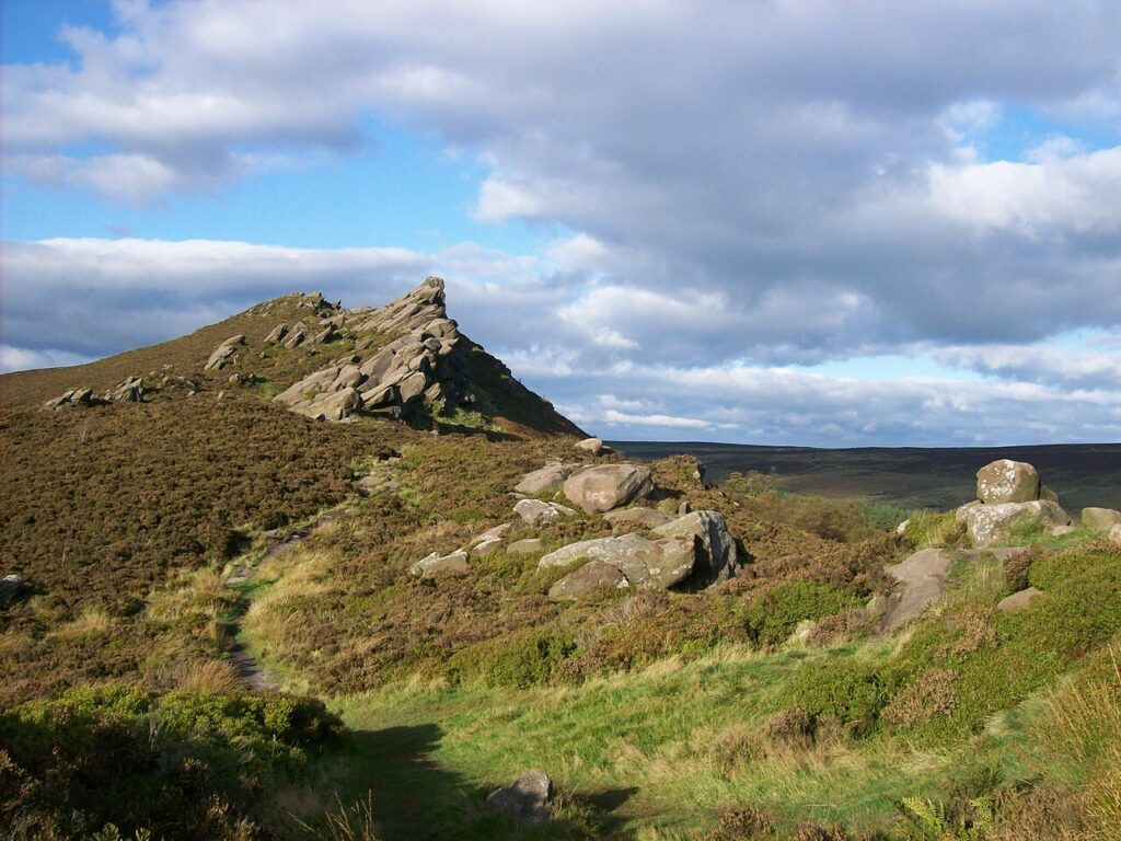
The Cat and Fiddle, the A537 from Macclesfield to Buxton, is about an hour from Chester. Return by the A53 past Ramshaw Rocks to Leek for a loop of two of the best roads in England.
| Road | Class | Length | Time | Summit |
|---|---|---|---|---|
| The Cat and Fiddle | Driving road | 11.1 mi | 20 min | 515 m |
| Ramshaw Rocks and Axe Edge | Driving road | 12.8 mi | 25 min | 499 m |
03Where to stop
The Old Stores Motorcycle Café at Pontblyddyn and the Chain and Sprocket near Ruthin both welcome cars and bikes. Rhug Estate farm shop on the A5 near Corwen is the place for lunch, and Fourways Café at Delamere is a regular on the Cheshire side.
04For a night away
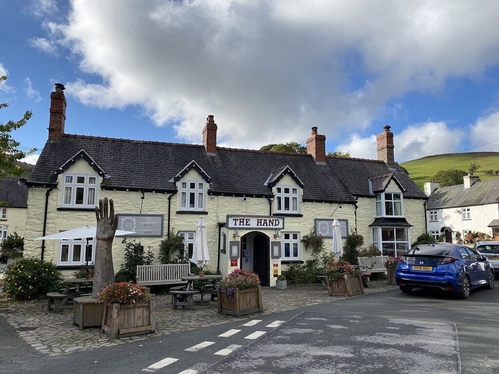
The Hand at Llanarmon
A former drovers' inn and farmhouse at the head of the Ceiriog valley, with 13 rooms, a spa…
Check rates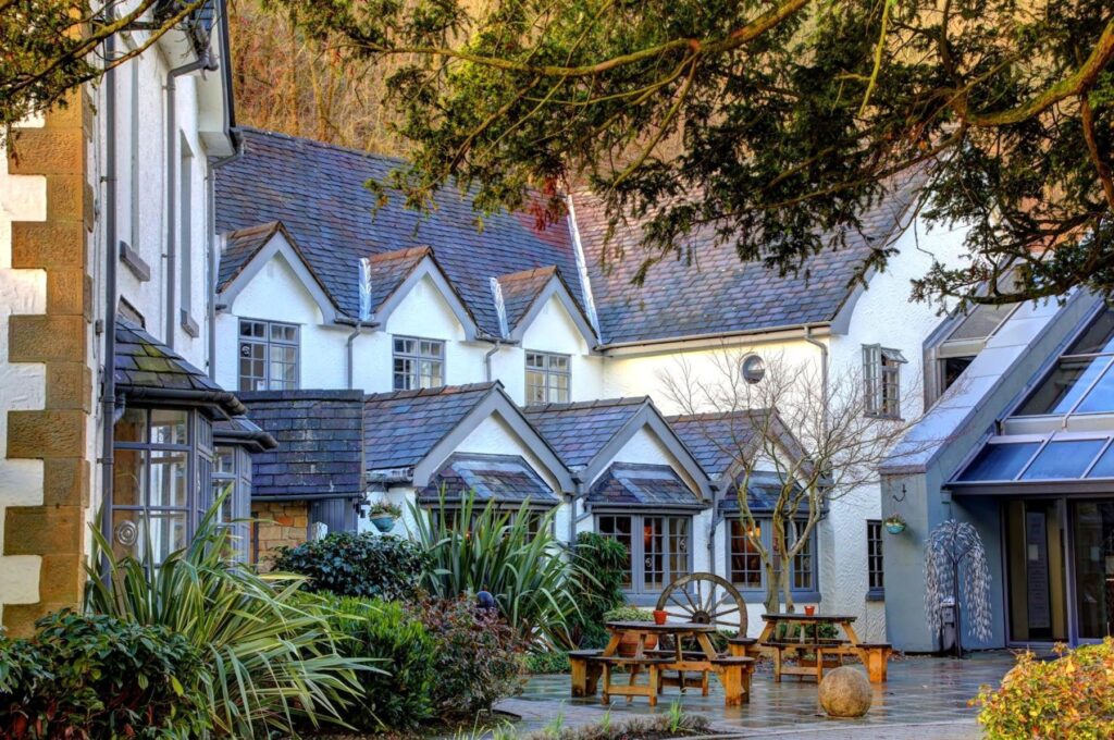
The Wild Pheasant Hotel & Spa
A four-star, 47-bedroom hotel and spa in a 19th-century country house on Berwyn Road, Llangollen, a few minutes…
Check rates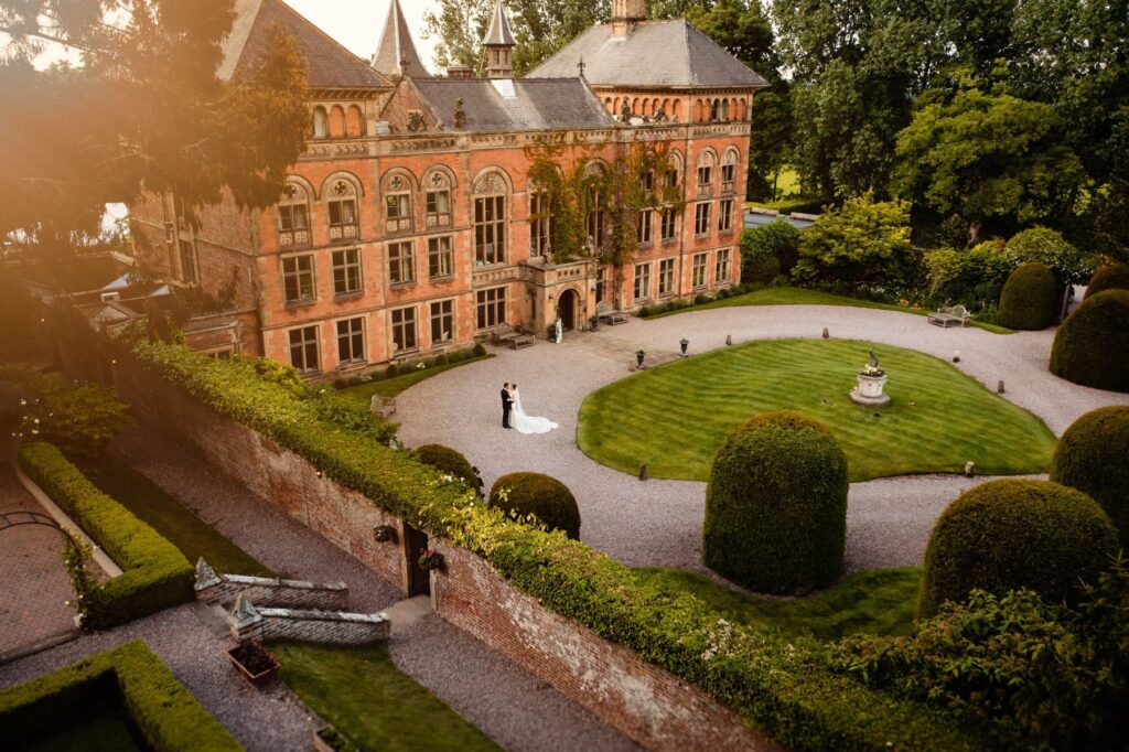
Soughton Hall
A Grade II* listed early eighteenth century bishop's palace in 150 acres of parkland, with individually decorated bedrooms…
Check rates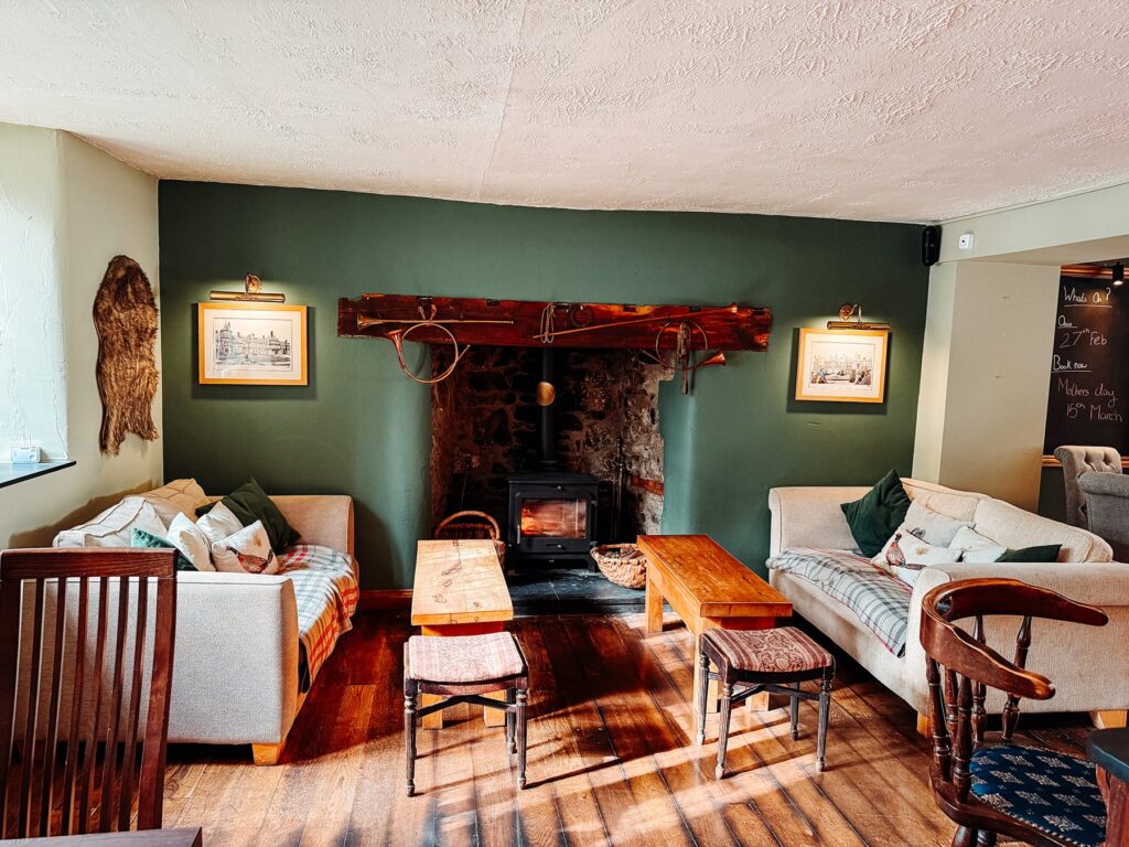
The Kinmel Arms
A pub-restaurant with rooms in the tiny village of St George above Abergele, with four suites added to…
Check rates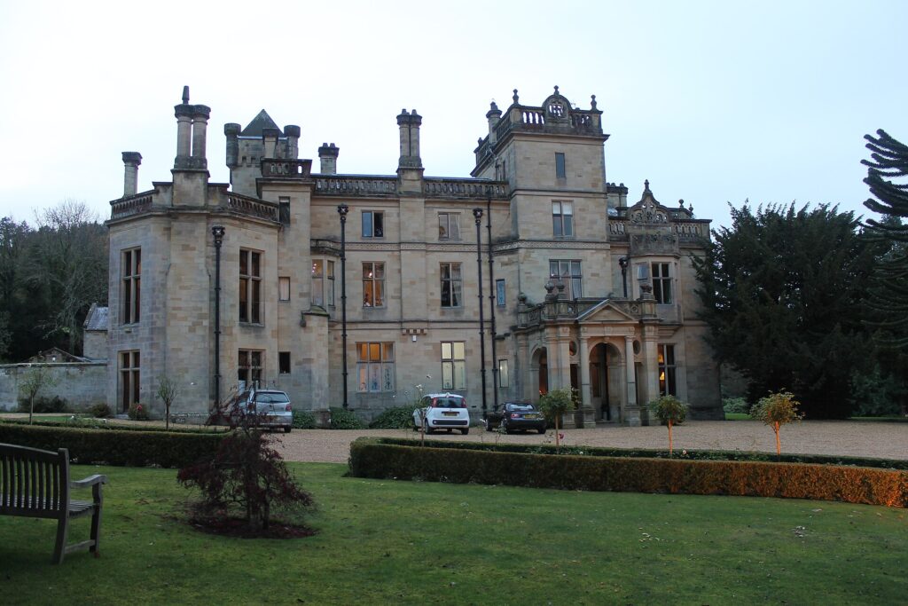


Palé Hall
A five-star Victorian country house hotel near Bala, built in 1869-71 for the railway engineer Henry Robertson, with…
Check ratesFor a longer trip, see our North Wales road trip.
05Quick answers
- What are the best drives near Chester?
- The Horseshoe Pass above Llangollen and Bwlch Penbarras over the Clwydian Range are both under an hour away. The Evo Triangle is about 75 minutes.
- How far is the Evo Triangle from Liverpool?
- Around 75 to 90 minutes by the A55, St Asaph and Denbigh, depending on traffic.
- Is the Cat and Fiddle near Chester?
- It is about an hour east of Chester, between Macclesfield and Buxton.
Reviewed by Drive Tour Wales in November 2026. Conditions, limits and opening times change, so check before you travel.