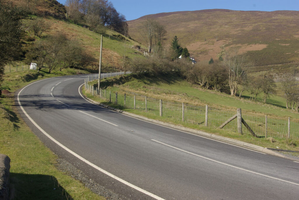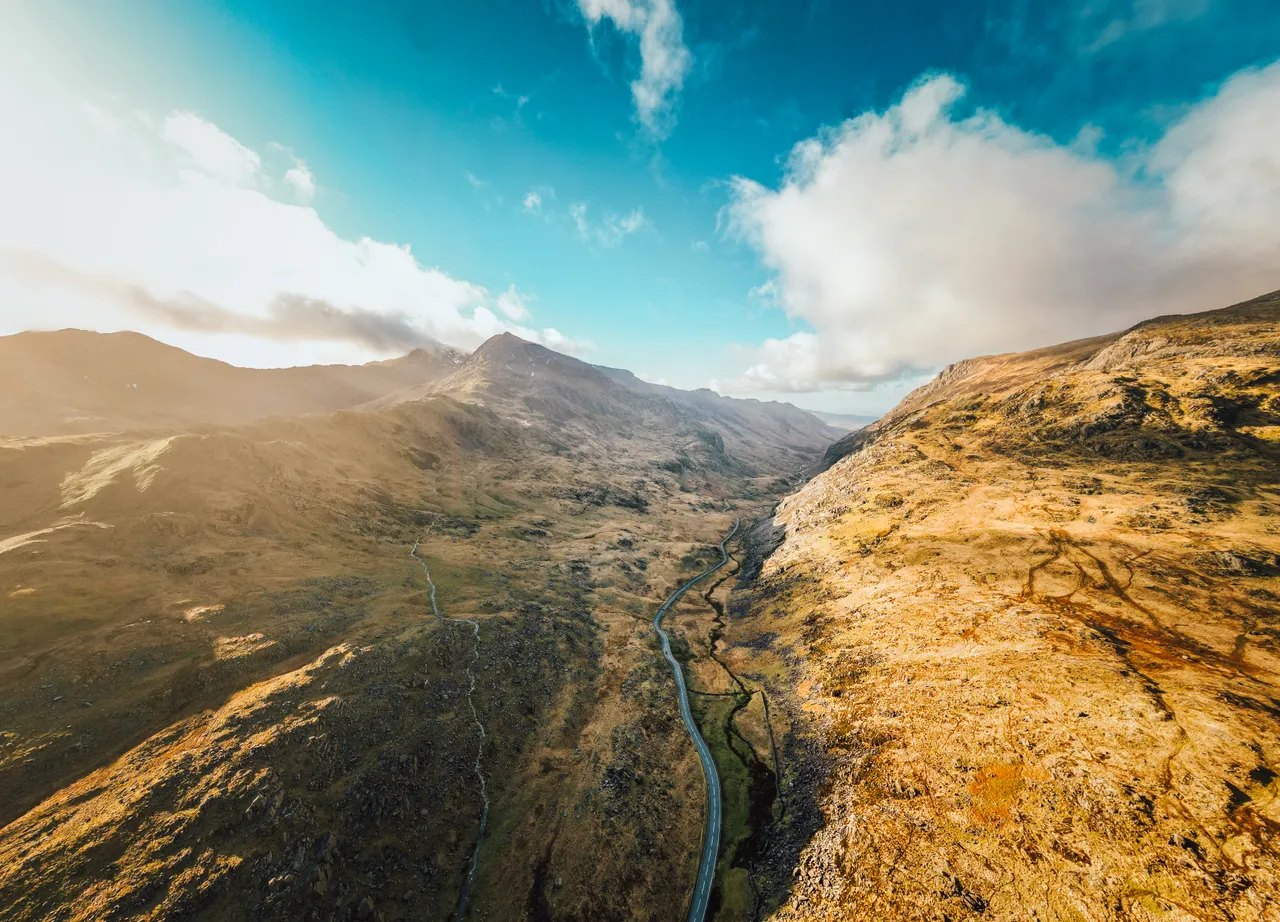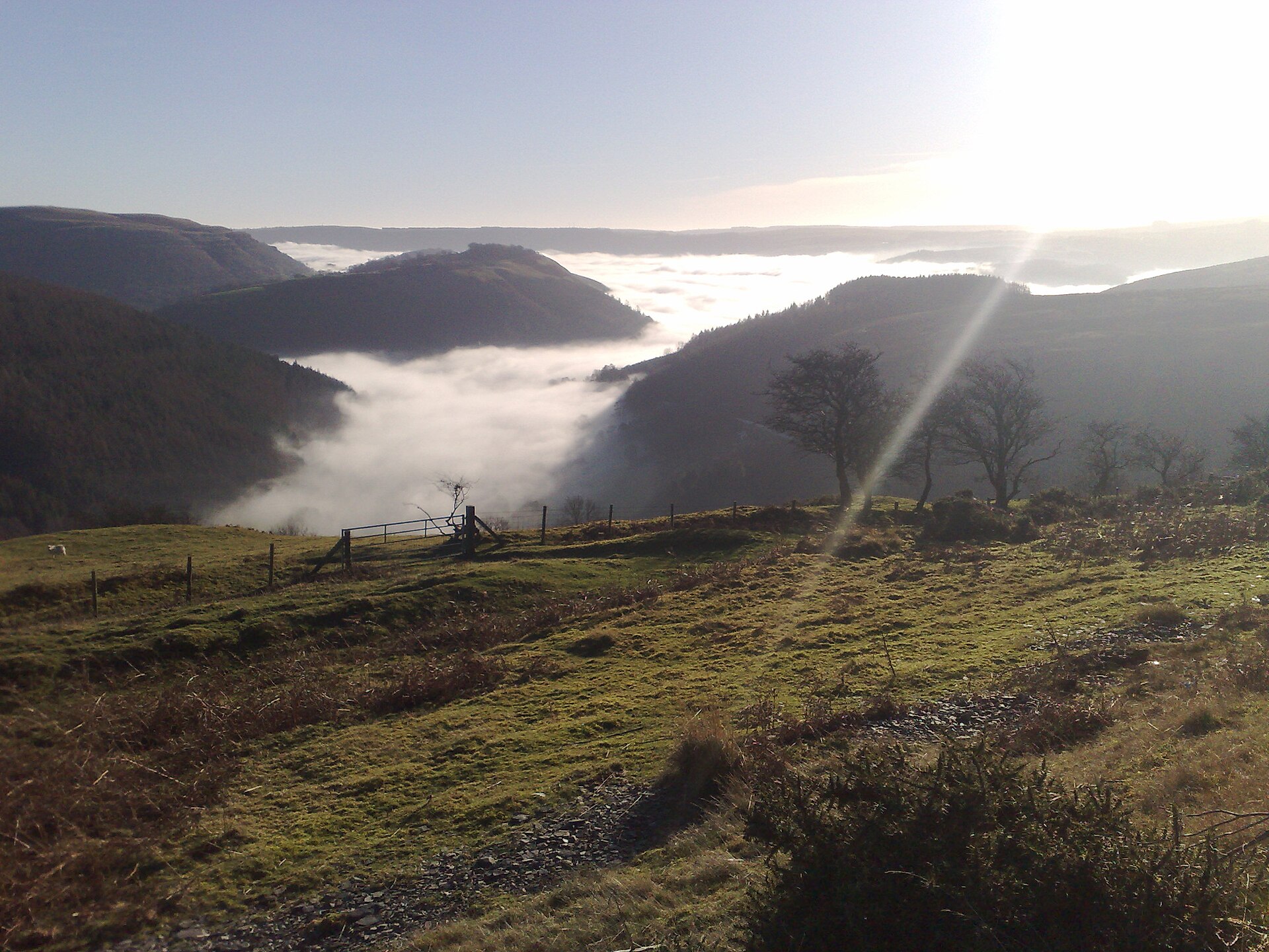
Horseshoe Pass looking towards Llangollen

Routes / North Wales

The Horseshoe Pass, Bwlch yr Oernant (A542)

Driving road A542 Llangollen to Ruthin

Distance15.2mi
Drive time30min
Summit416m
Total climb560m
Limits40mph
RegionNorth

Driving road Built for driving: well surfaced and rewarding behind the wheel.

The Horseshoe Pass is the A542 above Llangollen, known in Welsh as Bwlch yr Oernant, the Pass of the Cold Stream. Our 15.2 mile line runs from Llangollen to Ruthin and tops out at 416 m, close to the 417 m usually quoted. Near the top the road bends right round the head of a steep valley in a horseshoe, which gives the pass its name.

The A542 over the pass has been limited to 40 mph since 2022.

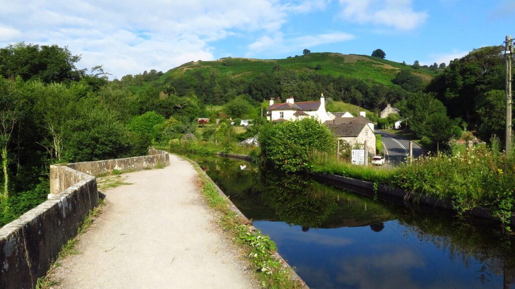
It leaves Llangollen past the canal and the ruins of Valle Crucis Abbey, then climbs into the Llantysilio Mountains on a route that dates back to a turnpike of 1811. Over the top the road drops through forestry to the A525 at Pen-y-stryt and on into the market town of Ruthin. We would take it in that direction, because the horseshoe comes on the climb, when you can see it unfold ahead of you.

The summit has changed. The Ponderosa café, long the meeting point for bikers and classic car clubs, closed in 2025. The lay-bys are still there and still busy on a good weekend, but do not count on a coffee at the top. Another good stop is The Old Stores Motorcycle Café at the junction of the A541 and A5104, and the Chain & Sprocket on the edge of Ruthin is the natural stop at the far end.

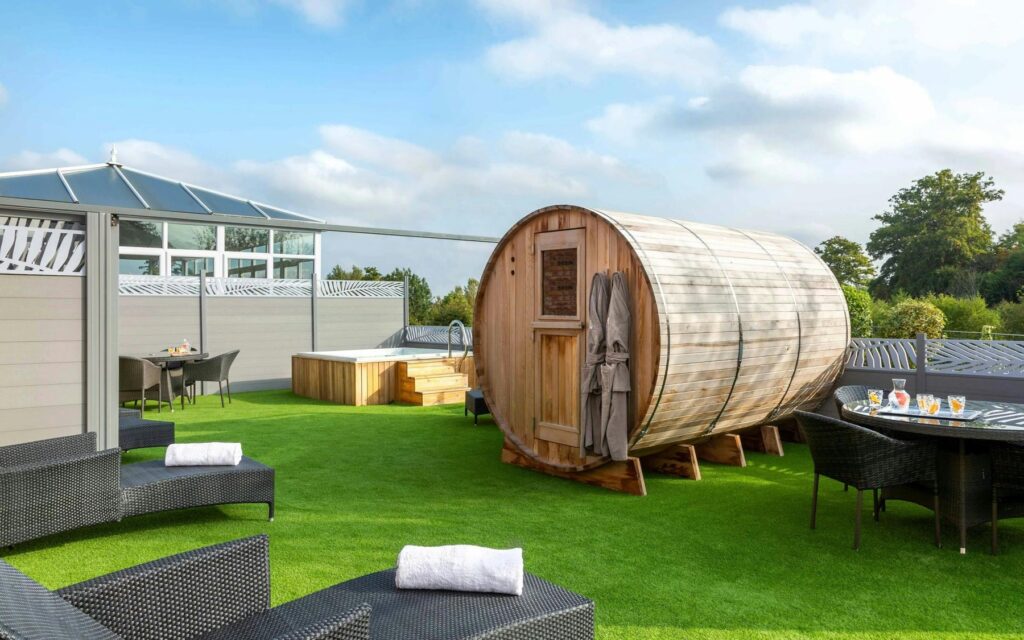
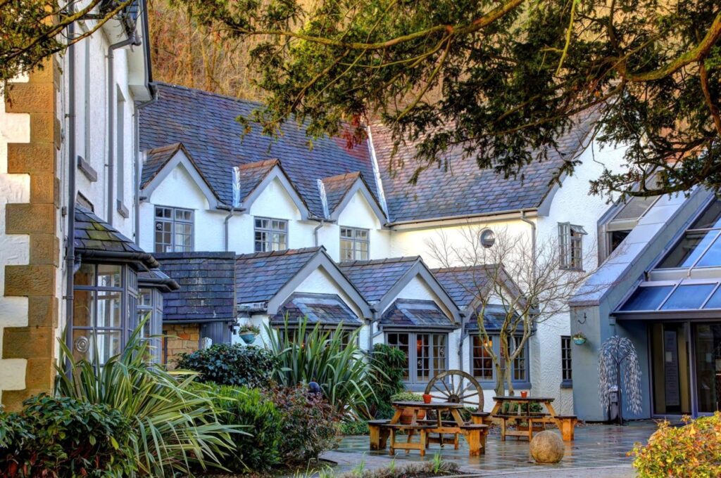
Stay at The Wild Pheasant in Llangollen or Ruthin Castle, which states free on-site parking on its own site. From Ruthin, Bwlch Penbarras and the Clwydian Range are the obvious next road, and the Evo Triangle is within easy reach.

Good to know

  1. 01
    The summit is busy with motorbikes at weekends. Watch your mirrors and take care pulling out of the lay-bys.
  2. 02
    The pass is exposed, and snow or landslides frequently close it in winter. It is a county road, so check with Denbighshire County Council, not Traffic Wales.
  3. 03
    Sheep gather on the road here. Slow down early.
  4. 04
    Llangollen Motor Museum is at the bottom of the climb, and its own site gives weekend opening from 10am to 4pm.
  5. 05
    Our fuel map shows Texaco forecourts at both Llangollen and Ruthin, and a charger in Llangollen. There is nothing on the pass itself.

Photo: Horseshoe Pass looking towards Llangollen by John Evans, CC BY-SA 2.0
The climb

65 m to 416 m · summit at 5.2 mi
Start · 0 miFinish · 15.2 mi

Up top today

Forecast at the summit, 416 m · updated 04:07
Good day

Dry roads up top

A good day for it. Best between 07:00 and 14:00.

Now
Broken cloud
Air
6°C
Wind
7mph SW
Road
Dry
Golden hour · This morning

07:18to08:40

Sunrise 07:50 · Broken cloud: could be spectacular
  1. Today Good day 5–8°C · wind to 13 mph · dry · damp roads
  2. Tomorrow Give it a miss 3–5°C · wind to 8 mph · 1 mm rain · thick fog
  3. Friday Take care 2–5°C · wind to 10 mph · dry · frost in the shade

Forecast from MET Norway, refreshed hourly. Mountain weather turns fast: check before you set off.

The live map

Turns, cameras, viewpoints and stops along the road

Quick answers

How long is The Horseshoe Pass, Bwlch yr Oernant (A542)?
The Horseshoe Pass, Bwlch yr Oernant (A542) is 15.2 miles from Llangollen to Ruthin and takes about 30 minutes to drive without stopping.
How high does The Horseshoe Pass, Bwlch yr Oernant (A542) go?
It reaches 416 metres (1,365 feet) at its highest point, with 560 metres of climbing along the way.
What is the speed limit on The Horseshoe Pass, Bwlch yr Oernant (A542)?
Limits along the route are 40 mph. Always follow the signs on the road, as Welsh limits can change.
What kind of car suits The Horseshoe Pass, Bwlch yr Oernant (A542)?
We class it as a Driving road. Built for driving: well surfaced and rewarding behind the wheel.
Where should I stay near The Horseshoe Pass, Bwlch yr Oernant (A542)?
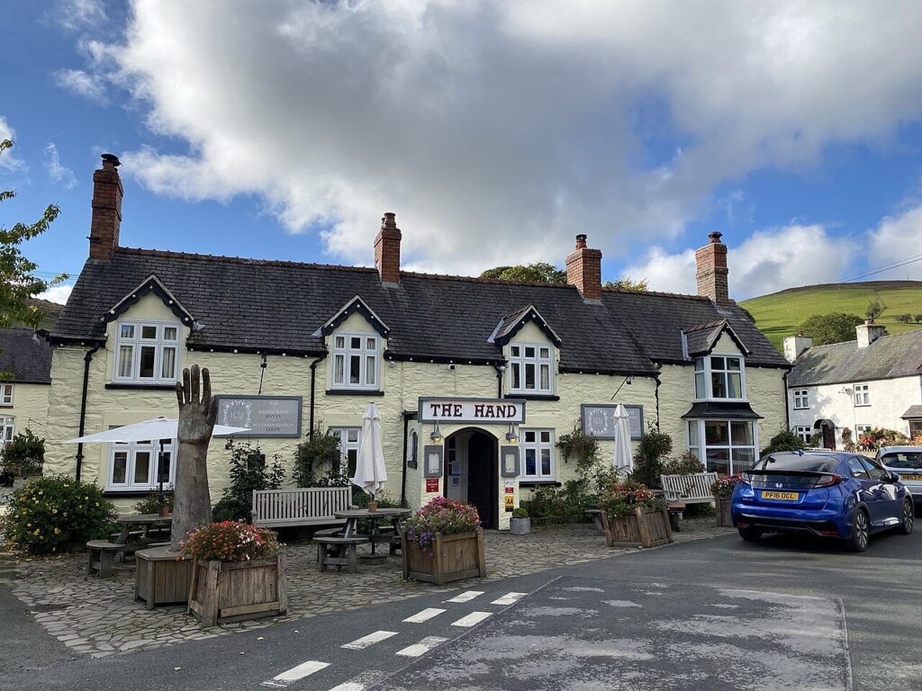
The graded hotels we would choose near this road are The Wild Pheasant Hotel & Spa, Lion Quays Hotel & Spa and The Hand at Llanarmon.
Is the Ponderosa café on the Horseshoe Pass still open?
No. It closed in 2025. Many riders now use The Old Stores Motorcycle Café near Pontblyddyn, and the Chain & Sprocket at Ruthin is at the far end of this drive.
What is the Welsh name for the Horseshoe Pass?
Bwlch yr Oernant, which means the Pass of the Cold Stream. The English name comes from the shape of the road around the valley head.
Does the Horseshoe Pass close in winter?
Yes, it is frequently closed by snow or landslides. Check with Denbighshire County Council before travelling in bad weather.
What is there to do near the Horseshoe Pass?
Llangollen Motor Museum sits at the foot of the climb, and Valle Crucis Abbey is on the road out of Llangollen. Ruthin Castle and the Clwydian Range are at the far end.

Read more about this road

The Logbook →

Graded hotels within easy reach of the road, the four and five stars first.

Stop along the way

All stops on the map →
The Llanberis Pass from above Pen-y-Pass
Next road · North Wales

The Llanberis Pass (A4086)

Betws-y-Coed to Caernarfon · 23.6 mi Drive it next →