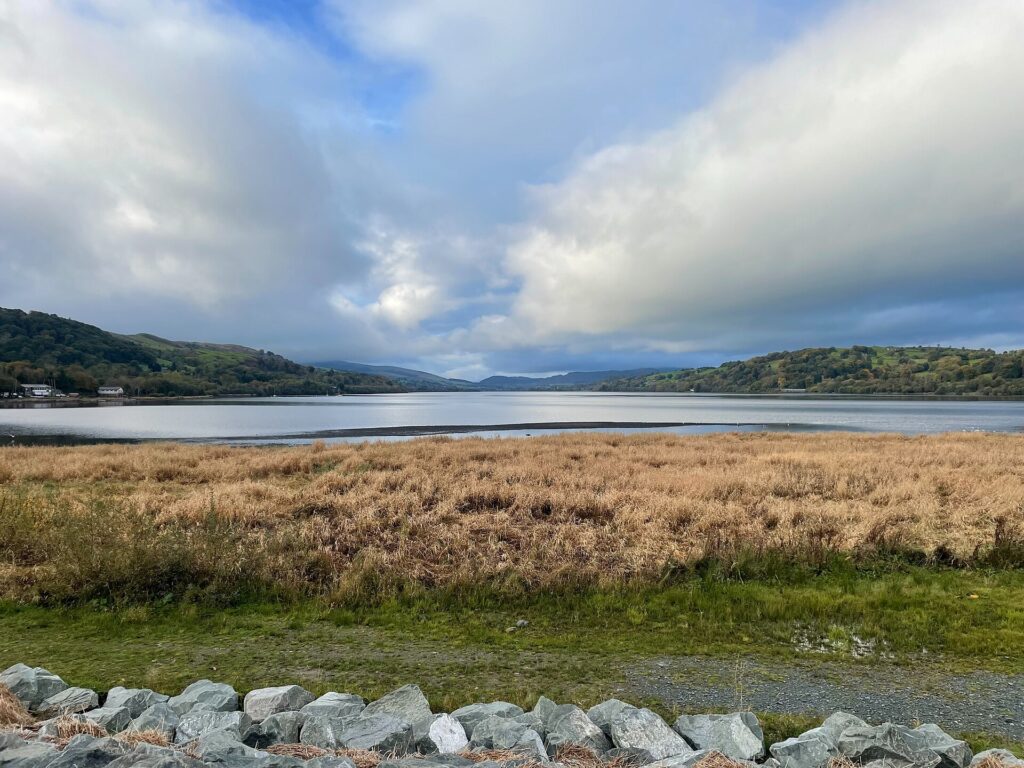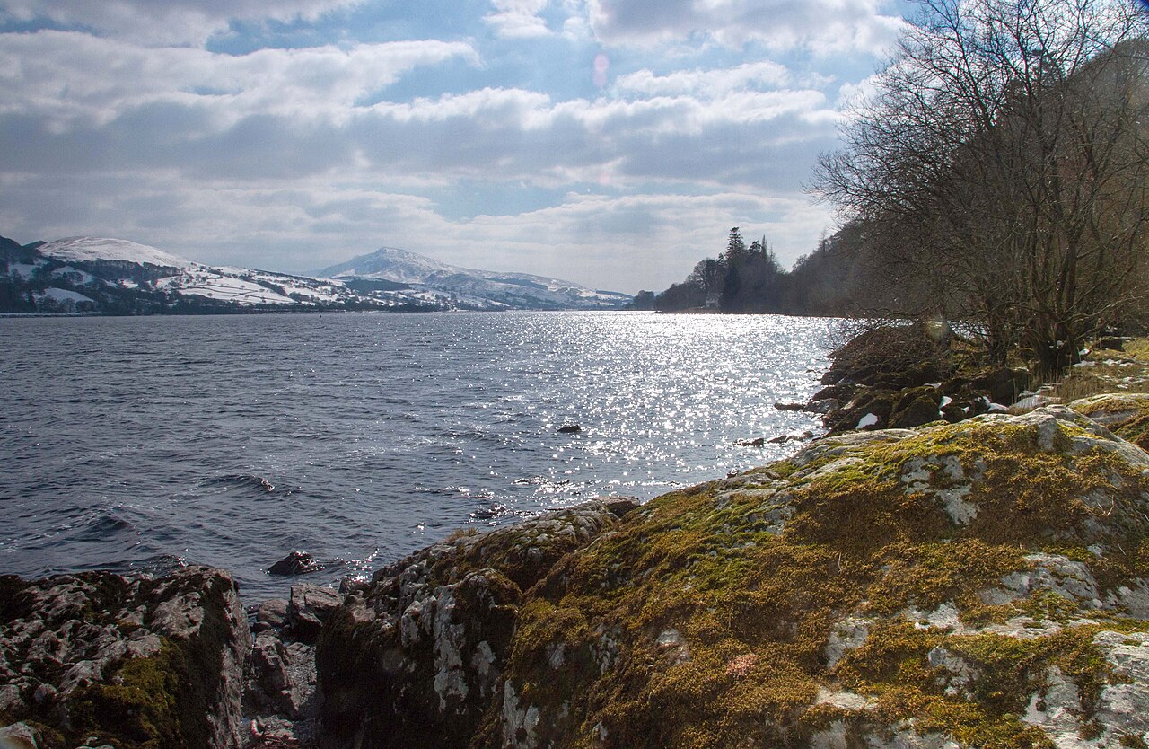
Llyn Tegid and Aran Benllyn - geograph.org.uk - 3650834

Routes / North Wales

The A494 by Llyn Tegid

Driving road A494 Bala to Dolgellau

Distance17.3mi
Drive time35min
Summit234m
Total climb226m
Limits30–60mph
RegionNorth

Driving road Built for driving: well surfaced and rewarding behind the wheel.

The A494 from Bala to Dolgellau is the trunk road along Llyn Tegid, Bala Lake, and down the valley of the Afon Wnion. Our 17.3 mile line runs from Bala to the edge of Dolgellau and tops out at 234 m at Pant Gwyn, with the Arans rising to the south for much of the way.

Officially the Dolgellau to South of Birkenhead Trunk Road, the A494 enters the national park just outside Bala and runs beside the lake for 4 miles. Llyn Tegid was the largest natural body of water in Wales even before Thomas Telford raised its level to feed the Ellesmere Canal, and the narrow-gauge Bala Lake Railway shares the shore as far as Llanuwchllyn. Bala itself was once an important centre of the North Wales woollen trade and has drawn visitors since the early 19th century.

This is one of the most satisfying trunk roads in Eryri: well surfaced, well sighted along the lake and rhythmic through the sweepers that follow. The summit at Pant Gwyn marks the watershed, after which the road settles into a long, steadily falling run beside the Wnion through Rhydymain and Bontnewydd, with the remains of the old railway line visible in places. It ends at the A470 beneath Cadair Idris. Early mornings out of season show it at its best.

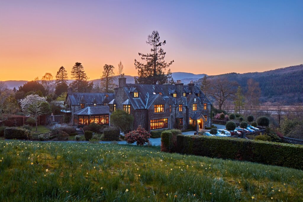
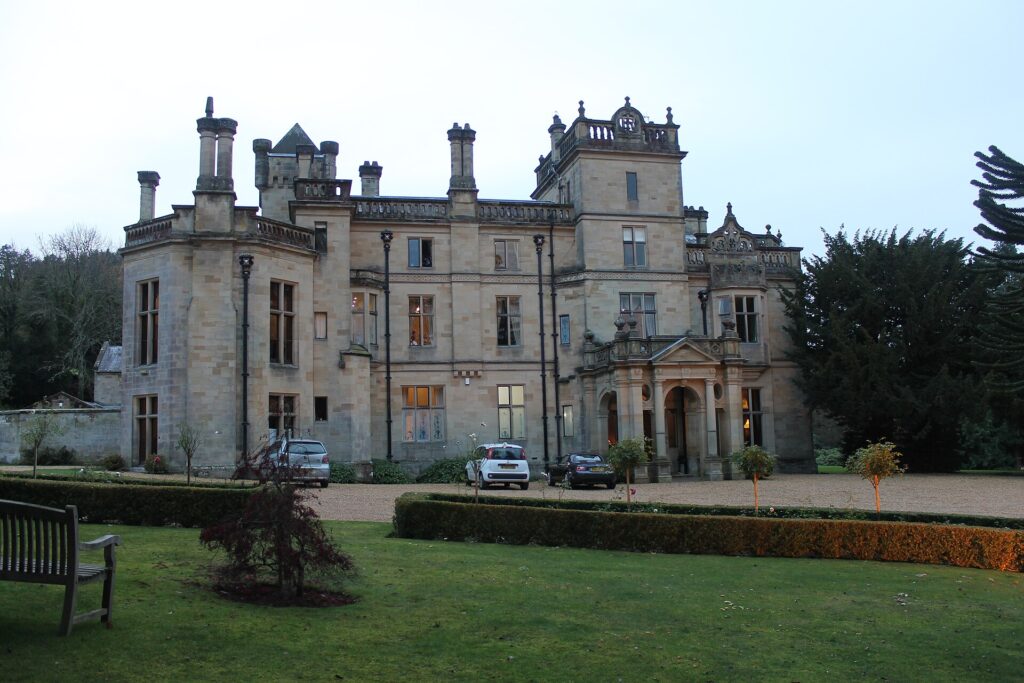
Stay at Palé Hall near Bala or Penmaenuchaf above the Mawddach, where Afon is the dining room. At the Bala end it links with Bwlch y Groes and the Migneint, and at Dolgellau with Tal-y-llyn and the Cambrian coast.

Good to know

  1. 01
    The road is single carriageway with variable limits, and North Wales Police regularly run traffic operations on it. Watch the signs.
  2. 02
    The A494 is a trunk road, so closures and roadworks are on Traffic Wales.
  3. 03
    Bala hosts events through the year that can bring temporary restrictions. Check before travelling.
  4. 04
    The lake has two sailing clubs and several hire companies, so the Bala shore is busy on summer weekends.
  5. 05
    Fuel is easy in Bala and Dolgellau, with nothing reliable in between.
  6. 06
    Stop at the lake itself, Llyn Tegid, at the Bala end before the road leaves the shore.

Photo: Llyn Tegid and Aran Benllyn – geograph.org.uk – 3650834 by Chris Denny, CC BY-SA 2.0
The climb

13 m to 234 m · summit at 7.4 mi
Start · 0 miFinish · 17.3 mi

Up top today

Forecast at the summit, 234 m · updated 04:22
Give it a miss

Give it a miss today

Thick fog over the top. Tomorrow looks better.

Now
Rain
Air
7°C
Wind
10mph SW
Road
Wet
Golden hour · This morning

07:20to08:42

Sunrise 07:50 · Likely lost in cloud
  1. Today Give it a miss 7–9°C · wind to 14 mph · 7 mm rain · thick fog
  2. Tomorrow Take care 5–7°C · wind to 11 mph · dry · patchy fog
  3. Friday Good day 3–6°C · wind to 13 mph · dry

Forecast from MET Norway, refreshed hourly. Mountain weather turns fast: check before you set off.

The live map

Turns, cameras, viewpoints and stops along the road

Quick answers

How long is The A494 by Llyn Tegid?
The A494 by Llyn Tegid is 17.3 miles from Bala to Dolgellau and takes about 35 minutes to drive without stopping.
How high does The A494 by Llyn Tegid go?
It reaches 234 metres (768 feet) at its highest point, with 226 metres of climbing along the way.
What is the speed limit on The A494 by Llyn Tegid?
Limits along the route are 30–60 mph. Always follow the signs on the road, as Welsh limits can change.
What kind of car suits The A494 by Llyn Tegid?
We class it as a Driving road. Built for driving: well surfaced and rewarding behind the wheel.
Where should I stay near The A494 by Llyn Tegid?
The graded hotels we would choose near this road are Cross Foxes, Penmaenuchaf Hotel and Palé Hall.
How long is Bala Lake?
Llyn Tegid is about 3.7 miles long and half a mile wide, and the A494 runs beside it for 4 miles. It was the largest natural body of water in Wales even before Telford raised its level.
Is the A494 a trunk road?
Yes. It is officially the Dolgellau to South of Birkenhead Trunk Road, so Traffic Wales handles closures and roadworks on it.
What is the Welsh name for Bala Lake?
Bala Lake is Llyn Tegid in Welsh. Llanuwchllyn, at its south-western end, means the church above the lake.
Where does the A494 end at Dolgellau?
It ends at a T-junction with the A470 just outside Dolgellau, beneath Cadair Idris.

Read more about this road

The Logbook →

Graded hotels within easy reach of the road, the four and five stars first.

Stop along the way

All stops on the map →
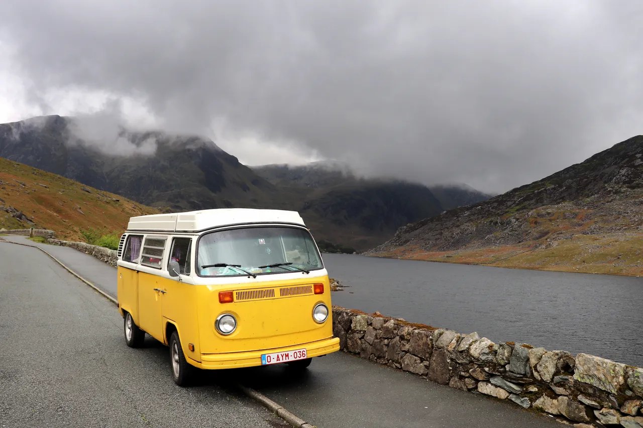
Campervan on the A5 by Llyn Ogwen
Next road · North Wales

The A5 through the Ogwen valley

Betws-y-Coed to Bangor · 23.0 mi Drive it next →