
In this entry
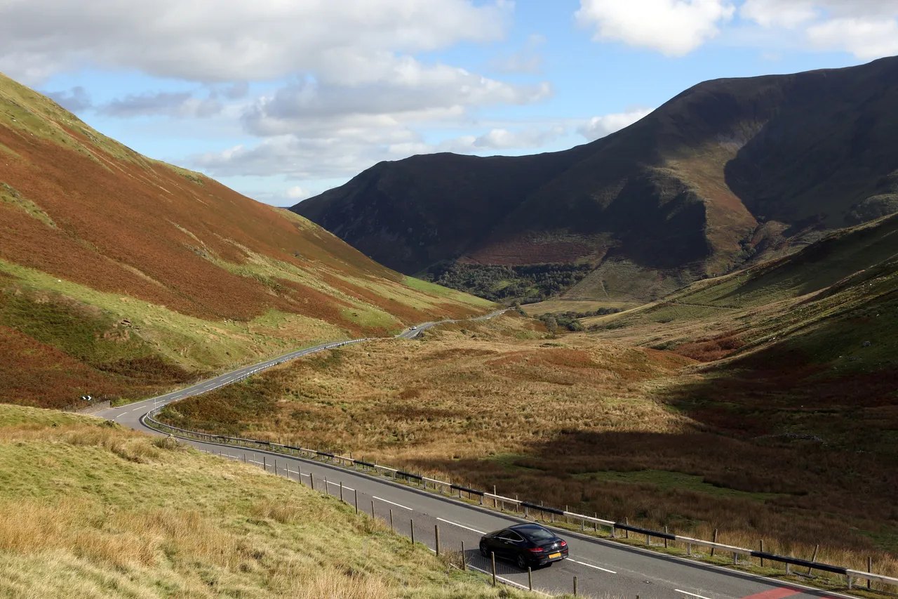
The Mach Loop is a set of valleys in southern Eryri, between Dolgellau, Machynlleth and Corris, used by military aircraft for low-level flying training. It sits within Low Flying Area 7, and on a good day jets pass below the ridgelines close enough to see the pilot. It also happens to be surrounded by some of the best roads in Wales.
01Getting there
The Loop centres on the A487 and A470 between Dolgellau and Machynlleth. From the north, drive the A470 from Dolgellau to the Cross Foxes junction and join the A487 south towards Corris. From the south, take the A487 north from Machynlleth through Corris. Both approaches are proper driving roads, and Tal-y-llyn and Bwlch Oerddrws runs straight through the area.
| Road | Class | Length | Time | Summit |
|---|---|---|---|---|
| Tal-y-llyn and Bwlch Oerddrws | Scenic road | 22.7 mi | 45 min | 363 m |
| The Cambrian coast (A493) | Scenic road | 36.0 mi | 70 min | 72 m |
| The A494 by Llyn Tegid | Driving road | 17.3 mi | 35 min | 234 m |
| The mountain road | Scenic road | 23.9 mi | 50 min | 513 m |
02Where to watch
- The Bwlch. The best-known spot, with a clear path and reasonable parking. A good choice for a first visit.
- Cad West and Cad East. Hillside spots above the A487 south of Dolgellau, each a climb of a few hundred feet from lay-bys on the main road.
- Bluebell. Down in the valley, with a lay-by close by.
- Corris Craft Centre. The no-climb option: flat ground, a café and free parking, though the views are lower.
Lay-bys on the A487 are used informally. Park fully off the road, never block gates or field entrances, and respect any access signs.
03When the jets fly
Low flying usually happens on weekdays during working hours, and never to a public timetable. The Ministry of Defence publishes planned low flying activity on gov.uk, which is worth checking before a long trip. Patience is part of it: some days bring several passes, others none.
04Make a day of it
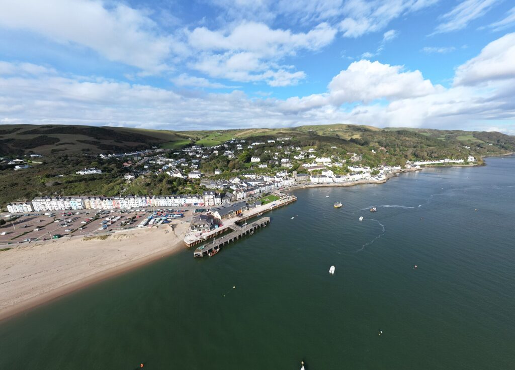
Combine the Loop with Tal-y-llyn, the Cambrian coast to Aberdyfi, or the mountain road over Dylife from Machynlleth. Our Mid Wales roads guide has more.
05Where to stay
The Cross Foxes sits at the junction of the A470 and A487, right at the north end of the Loop.
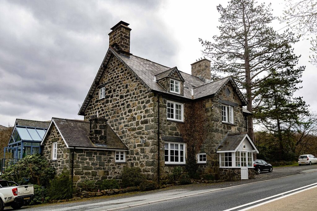
Cross Foxes
A Grade II listed 1859 inn at the junction of the A470 and A487 below Cadair Idris, now…
Check rates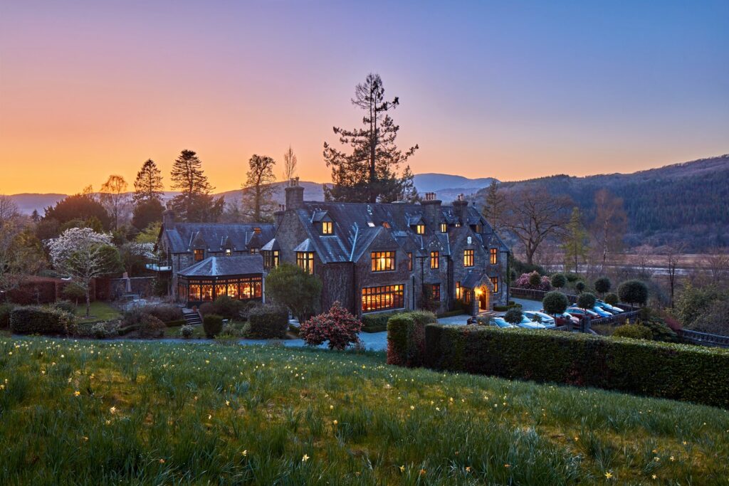
Penmaenuchaf Hotel
A Victorian country house hotel of around 1860 above the Mawddach estuary at Penmaenpool, with 14 bedrooms and…
Check rates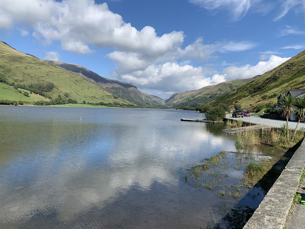
Dolffanog Fawr
A five-star eighteenth-century farmhouse guest house on the B4405 beside Tal-y-llyn Lake, with four rooms beneath Cadair Idris.
Check rates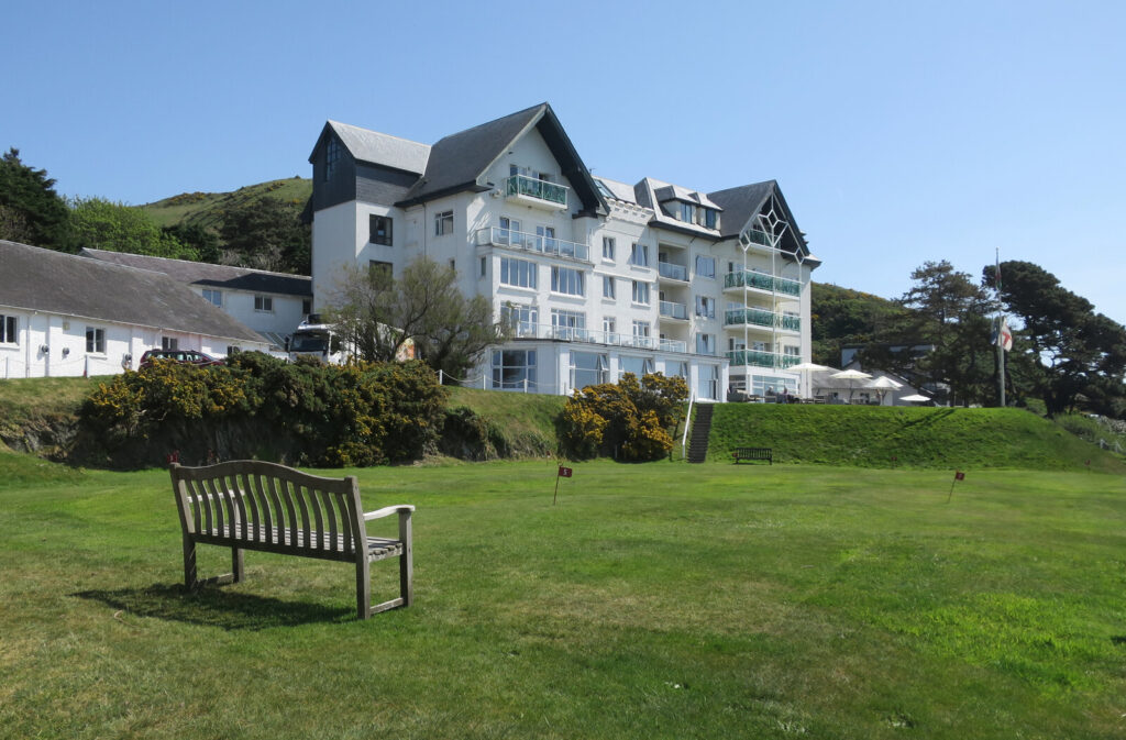

The Trefeddian Hotel, Aberdyfi
A seaside hotel built in 1904 on the A493 just north of Aberdyfi, with 59 bedrooms, an indoor…
Check rates06Quick answers
- Where is the Mach Loop?
- In southern Eryri, around the A487 and A470 between Dolgellau, Machynlleth and Corris, within Low Flying Area 7.
- When do jets fly the Mach Loop?
- Usually on weekdays during working hours. There is no public timetable, but the Ministry of Defence publishes planned low flying on gov.uk.
- Where can I park for the Mach Loop?
- Lay-bys on the A487 are used informally for Cad West and Cad East, and Corris Craft Centre has free parking for its flat viewing area.
Reviewed by Drive Tour Wales in November 2026. Conditions, limits and opening times change, so check before you travel.