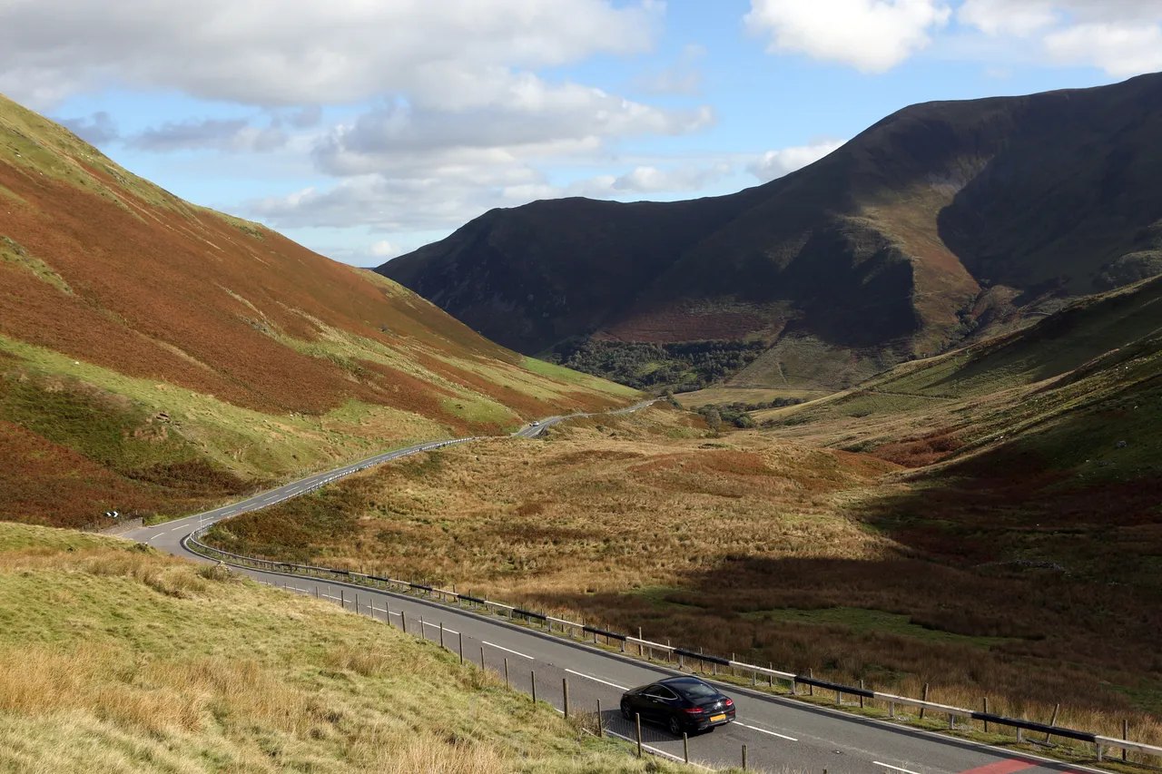
The A470 at Bwlch yr Oerddrws

Routes / Mid Wales

Tal-y-llyn and Bwlch Oerddrws

Scenic road B4405 Tywyn to Dinas Mawddwy

Distance22.7mi
Drive time45min
Summit363m
Total climb645m
Limits30–60mph
RegionMid

Scenic road Slower, narrower and more scenic. Rough in places, so not the best for low, stiff performance cars.

The Tal-y-llyn road is the B4405 from the coast at Tywyn up the Dysynni valley to the lake beneath Cadair Idris, joined to the A470 over Bwlch Oerddrws. Our 22.7 mile line runs from Tywyn to Dinas Mawddwy and tops out at 363 m on the Oerddrws, the height usually quoted for the pass. Two very different roads, one quiet and lakeside, one fast and open, make one of the best drives in southern Eryri.

From Tywyn the B4405 follows the Talyllyn Railway, the narrow gauge line that opened to passengers in 1866, inland to the old slate village of Abergynolwyn, built in the 1860s for the quarrymen of Bryn Eglwys.

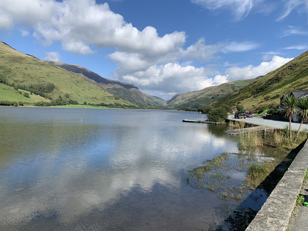
Beyond the village the road runs along the shore of Tal-y-llyn Lake, Llyn Mwyngil in Welsh, a long ribbon lake on the line of the Bala Fault, held back by an ancient landslide beneath the cliffs of Cadair Idris, and climbs to meet the A487. At the Cross Foxes junction turn east on the A470 for the Bwlch Oerddrws, a fast, open pass with sweeping views back over the mountain, before the long descent to Dinas Mawddwy.

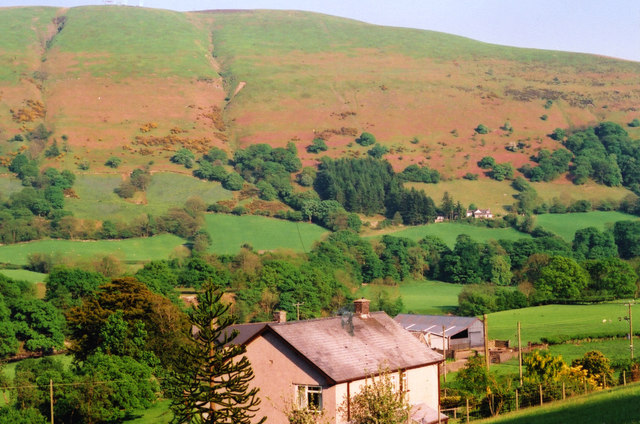
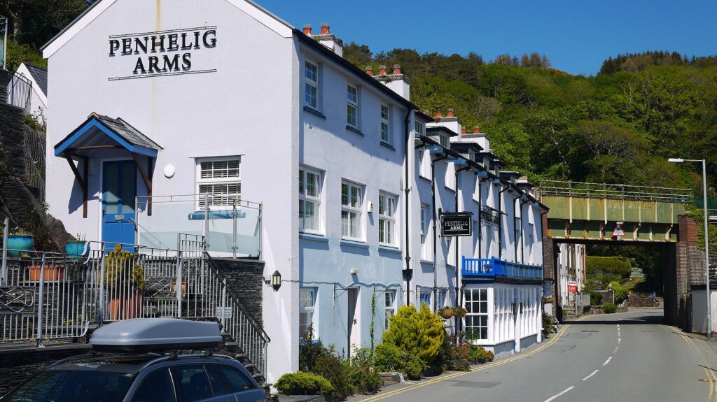
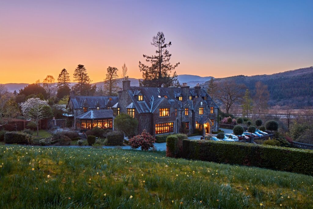
Stay at Dolffanog Fawr, a farmhouse right on the lake, or the Cross Foxes on the junction itself. At the Dinas Mawddwy end, The Firecat at Mallwyd is the place to eat; on the coast, the Penhelig Arms in Aberdyfi. From Dinas Mawddwy, Bwlch y Groes to Bala is right there, and the Dylife mountain road starts at Machynlleth to the south.

Good to know

  1. 01
    The B4405 is narrow along the lake and shared with walkers; give cyclists room.
  2. 02
    Minffordd car park is the start of the main path up Cadair Idris and fills early.
  3. 03
    The A470 over the pass is a trunk road, so closures are on Traffic Wales. The B4405 is a Gwynedd Council road.
  4. 04
    We would drive it west to east, so the lake comes first and the pass opens up ahead of you on the climb from Cross Foxes.
  5. 05
    Abergynolwyn and Tywyn are 20 mph through the village streets, the Welsh default in built-up areas.

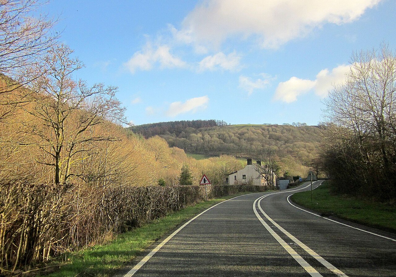
Photo: The A470 at Bwlch yr Oerddrws, © Crown copyright, Visit Wales
The climb

6 m to 363 m · summit at 18.7 mi
Start · 0 miFinish · 22.7 mi

Up top today

Forecast at the summit, 363 m · updated 04:21
Give it a miss

Give it a miss today

Thick fog over the top. Tomorrow looks better.

Now
Heavy rain
Air
7°C
Wind
13mph SW
Road
Wet
Golden hour · This morning

07:20to08:40

Sunrise 07:50 · Likely lost in cloud
  1. Today Give it a miss 6–8°C · wind to 16 mph · 12 mm rain · thick fog
  2. Tomorrow Take care 4–7°C · wind to 11 mph · dry · thick fog
  3. Friday Good day 3–6°C · wind to 13 mph · dry

Forecast from MET Norway, refreshed hourly. Mountain weather turns fast: check before you set off.

The live map

Turns, cameras, viewpoints and stops along the road

Quick answers

How long is Tal-y-llyn and Bwlch Oerddrws?
Tal-y-llyn and Bwlch Oerddrws is 22.7 miles from Tywyn to Dinas Mawddwy and takes about 45 minutes to drive without stopping.
How high does Tal-y-llyn and Bwlch Oerddrws go?
It reaches 363 metres (1,191 feet) at its highest point, with 645 metres of climbing along the way.
What is the speed limit on Tal-y-llyn and Bwlch Oerddrws?
Limits along the route are 30–60 mph. Always follow the signs on the road, as Welsh limits can change.
What kind of car suits Tal-y-llyn and Bwlch Oerddrws?
We class it as a Scenic road. Slower, narrower and more scenic. Rough in places, so not the best for low, stiff performance cars.
Where should I stay near Tal-y-llyn and Bwlch Oerddrws?
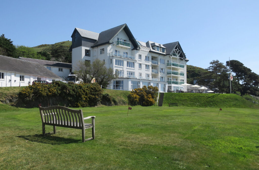
The graded hotels we would choose near this road are Cross Foxes, Dolffanog Fawr and The Trefeddian Hotel, Aberdyfi.
How high is Bwlch Oerddrws?
The pass on the A470 between Dolgellau and Dinas Mawddwy is usually given as 363 m, which matches the highest point on our line.
What is the Welsh name for Tal-y-llyn Lake?
It is Llyn Mwyngil, also written Llyn Myngul. Tal-y-llyn itself means 'the end of the lake'.
How long does the Tal-y-llyn drive take?
Our 22.7 mile line from Tywyn to Dinas Mawddwy takes about 45 minutes of driving.
Where do you park to climb Cadair Idris from Tal-y-llyn?
Minffordd car park, near the lake, is the start of the main path up Cadair Idris. It fills early on fine days.

Read more about this road

The Logbook →

Graded hotels within easy reach of the road, the four and five stars first.

Stop along the way

All stops on the map →
A 40 at Halfway - geograph.org.uk - 4306255
Next road · Mid Wales

The A40 through Cwm Gwydderig

Trecastle to Llandovery · 7.7 mi Drive it next →