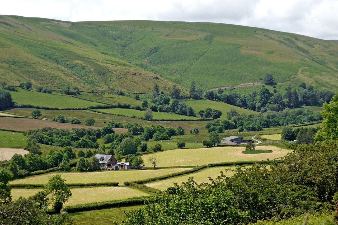
The Dylife road is the mountain road from Machynlleth to Llanidloes, a single-track crossing of the Cambrian Mountains past the lost mining village of Dylife. Our 23.9 mile line tops out at 513 m, close to the 509 m listed for Rhiw Fawr, the Forge Road pass on the Machynlleth to Staylittle road. It is one of the emptiest public roads in Wales.
Leave Machynlleth through the village of Forge and climb onto the open hills. Near the top, a memorial toposcope to the broadcaster Wynford Vaughan-Thomas, unveiled in 1990, looks out over a view he called the finest in Wales, with Cadair Idris and the Arans on the skyline.
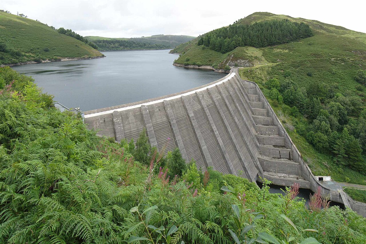
The road passes the site of Dylife, where lead was mined from Roman times until the early 1900s. Its great waterwheel, Rhod Goch, was 63 feet across, and by the 1850s the village had a church, chapels, a school, a smithy and three inns. Today there are two chapels turned into homes and the Star Inn. Then it crosses the moor to Staylittle, said to be named after an inn, the Stay-a-little, and runs along the shore of Llyn Clywedog. Its dam, finished in 1967, is the tallest concrete dam in the UK at 72 m, built to regulate the flow of the River Severn. From there it drops into the market town of Llanidloes.
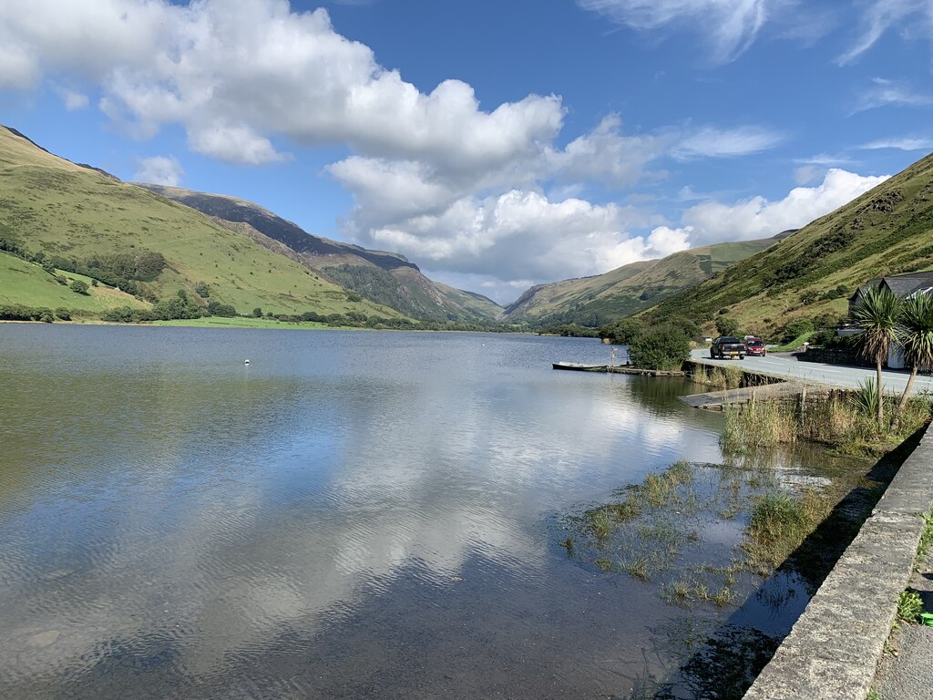
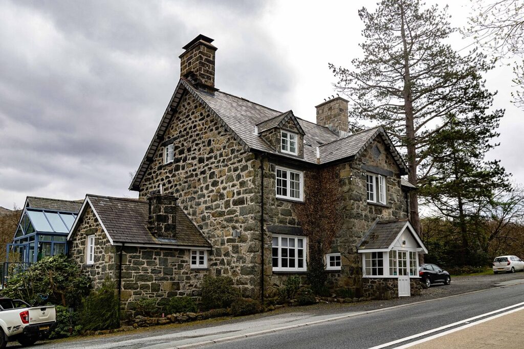
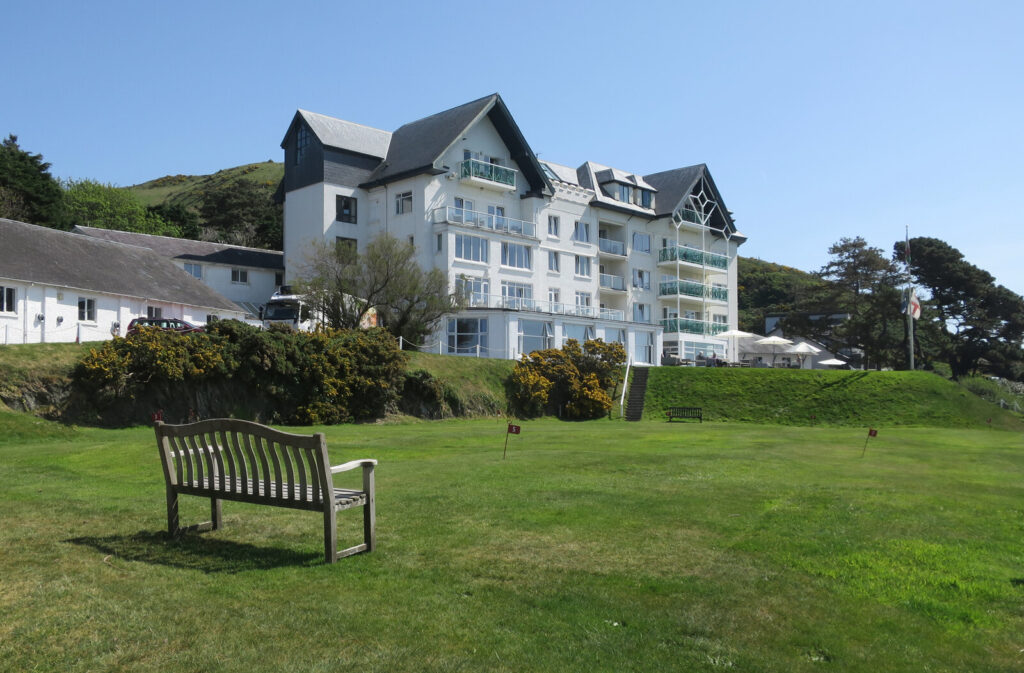
There are no hotels on the road itself. Stay west at Dolffanog Fawr under Cadair Idris or Trefeddian above the beach at Aberdyfi. Join it with Tal-y-llyn to the north, or turn south at Llanidloes for Llangurig and the A44 over Pumlumon.
Good to know
- 01Single track in places with passing places. Not for caravans.
- 02No fuel until Llanidloes or Machynlleth.
- 03The Clywedog dam viewpoint has parking and a short walk.
- 04Give the Wynford Vaughan-Thomas memorial and the Clywedog dam time; there is nothing else to stop for on the high ground.
- 05This is a county road, so closures are posted by Powys County Council rather than Traffic Wales.
Photo: Clywedog Dam – geograph.org.uk – 2040363 by Nigel Davies, CC BY-SA 2.0