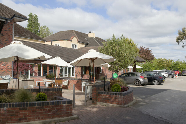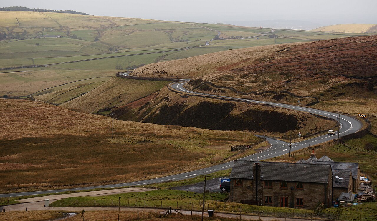
Tea Rooms, near to Cat & Fiddle - geograph.org.uk - 3840018

Routes / Over the border

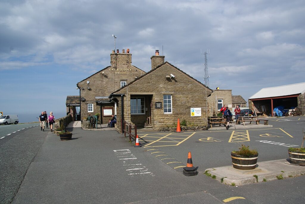
The Cat and Fiddle

Driving road A537 Macclesfield to Buxton

Distance11.1mi
Drive time20min
Summit515m
Total climb562m
Limits50mph
RegionOver the border

Driving road Built for driving: well surfaced and rewarding behind the wheel.

The A537 climbs east from Macclesfield onto the moors, cresting at the Cat and Fiddle at around 515 metres. It then runs down a long sequence of open bends into the spa town of Buxton.

Few roads in England have a bigger reputation. The climb from Macclesfield is a run of fast, well sighted corners with dry stone walls and wide moorland views, and the descent to Buxton offers some of the finest bends in the Peak. Its popularity with motorcyclists once made it notorious, and it now carries average speed cameras along much of its length. The Cat and Fiddle inn at the summit reopened in 2020 as a distillery with a shop and café.

Good to know

  1. 01
    Average speed cameras cover most of the route; respect the limits throughout.
  2. 02
    The summit is exposed and frequently closed or affected by snow in winter.
  3. 03
    Weekends bring heavy motorcycle traffic, so a weekday morning is best.

Photo: Tea Rooms, near to Cat & Fiddle – geograph.org.uk – 3840018 by Peter Barr, CC BY-SA 2.0
The climb

130 m to 515 m · summit at 6.3 mi
Start · 0 miFinish · 11.1 mi

Up top today

Forecast at the summit, 515 m · updated 04:07
Take care

Fog at times on the top

Drive it, but take the high section gently.

Now
Fog
Air
3°C
Wind
5mph SW
Road
Dry
Golden hour · This morning

07:14to08:38

Sunrise 07:46 · Likely lost in cloud
  1. Today Take care 3–7°C · wind to 9 mph · 2 mm rain · thick fog
  2. Tomorrow Take care 4–5°C · wind to 14 mph · dry · patchy fog
  3. Friday Take care 2–5°C · wind to 16 mph · dry · frost in the shade

Forecast from MET Norway, refreshed hourly. Mountain weather turns fast: check before you set off.

The live map

Turns, cameras, viewpoints and stops along the road

Quick answers

How long is The Cat and Fiddle?
The Cat and Fiddle is 11.1 miles from Macclesfield to Buxton and takes about 20 minutes to drive without stopping.
How high does The Cat and Fiddle go?
It reaches 515 metres (1,690 feet) at its highest point, with 562 metres of climbing along the way.
What is the speed limit on The Cat and Fiddle?
Limits along the route are 50 mph. Always follow the signs on the road, as Welsh limits can change.
What kind of car suits The Cat and Fiddle?
We class it as a Driving road. Built for driving: well surfaced and rewarding behind the wheel.
Where should I stay near The Cat and Fiddle?
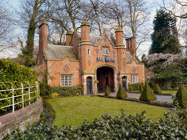
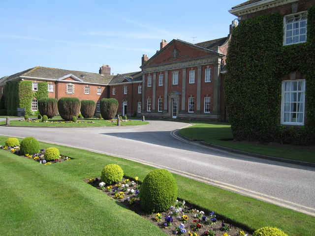
The graded hotels we would choose near this road are Mottram Hall, Cottons Hotel & Spa and Fairmont Cheshire, The Mere.

Read more about this road

The Logbook →

Graded hotels within easy reach of the road, the four and five stars first.

Stop along the way

All stops on the map →
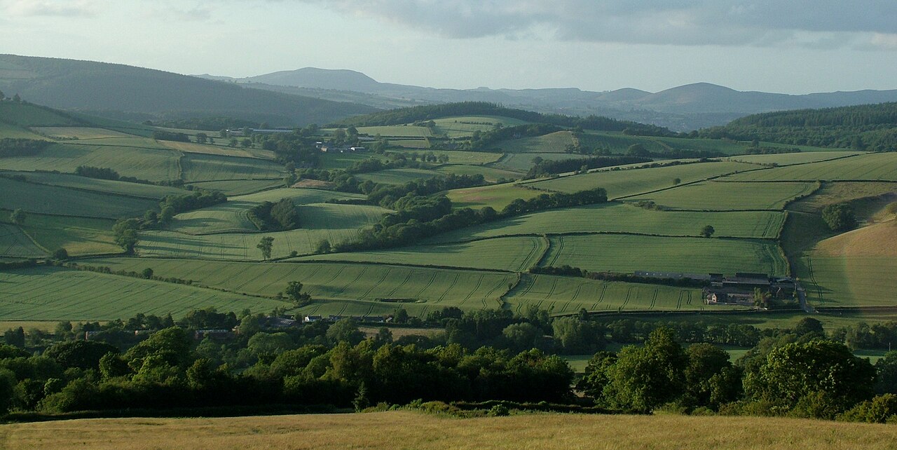
The Clun Valley to the East of Clun village - geograph.org.uk - 4552851
Next road · Over the border

The Clun valley

Knighton to Bishop’s Castle · 12.8 mi Drive it next →