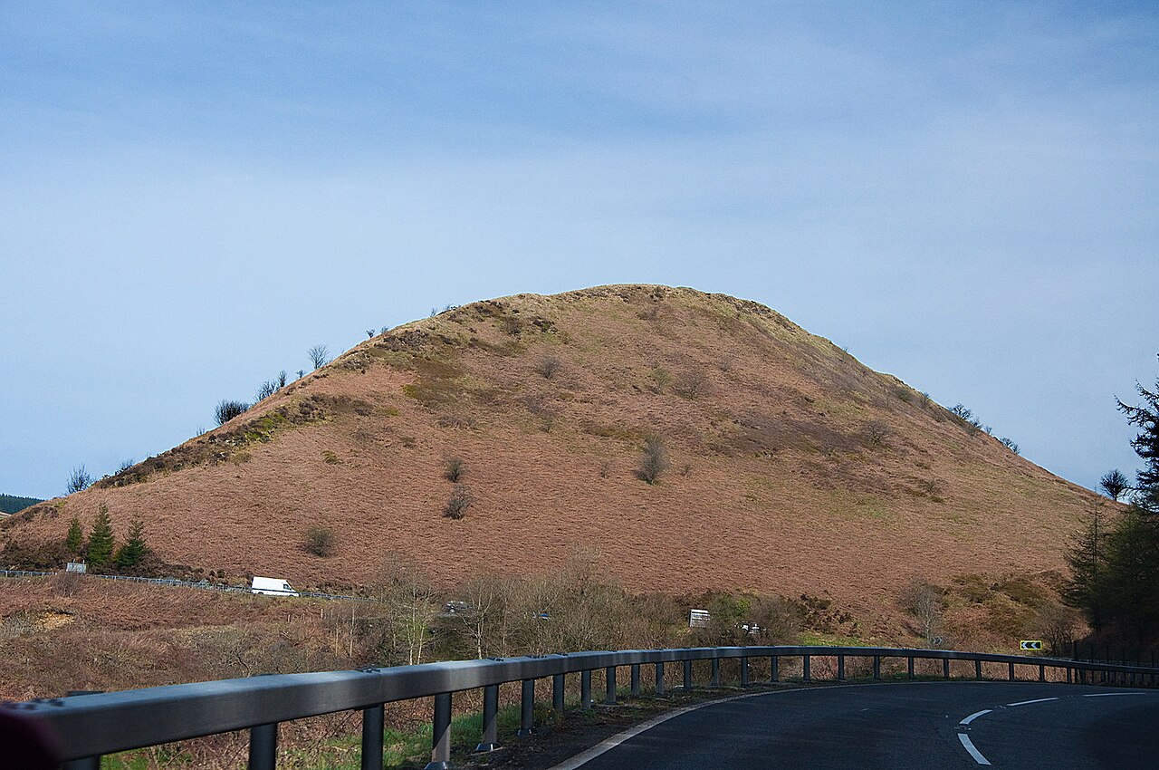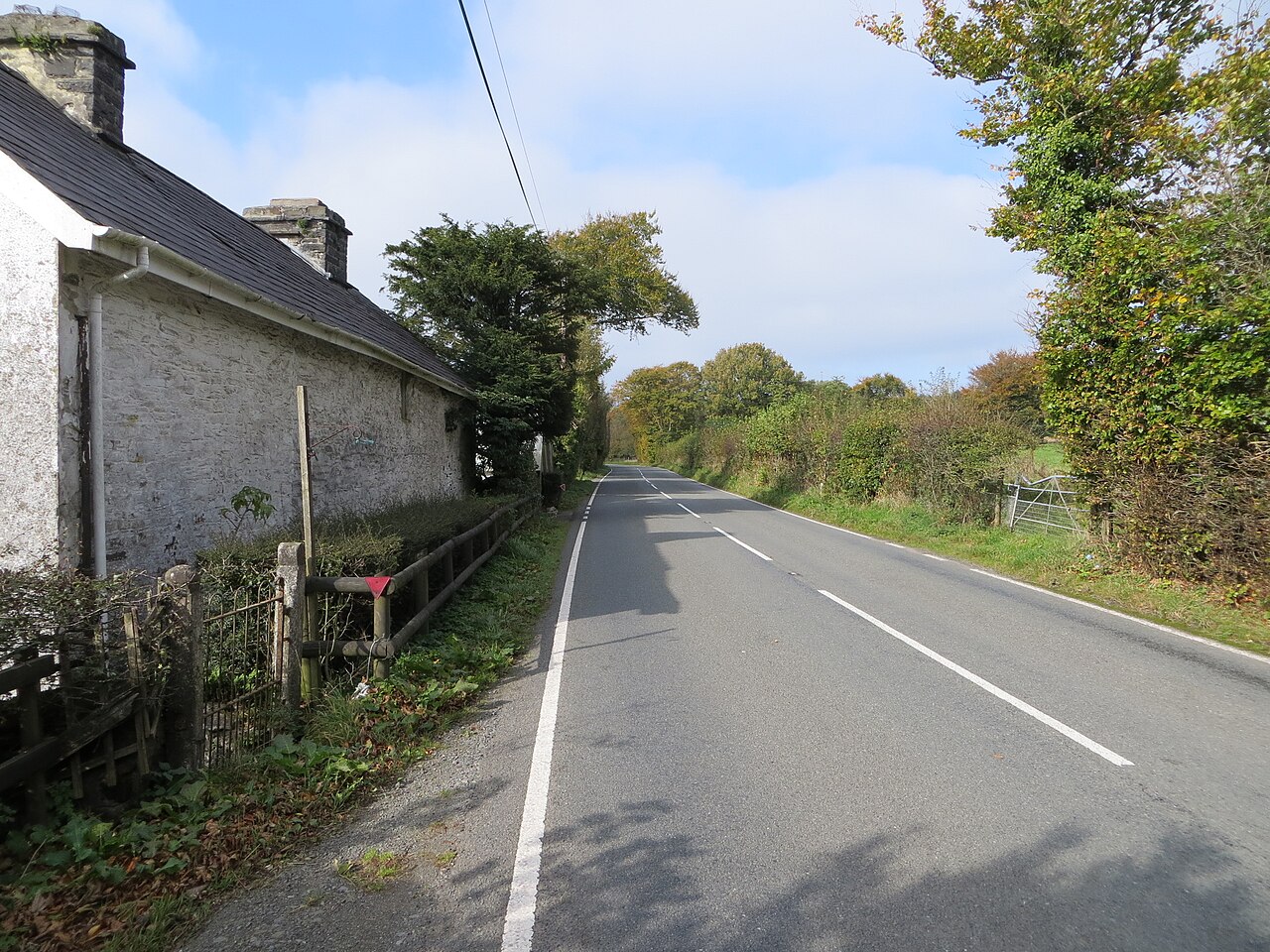
The A482 from Llanwrda to Lampeter is the road through the Cothi valley, the southern half of a 29 mile road that runs from the A40 at Llanwrda to Aberaeron on Cardigan Bay. It leaves the Tywi valley at Llanwrda and climbs into the hills, picking up the River Cothi on its way north. Our 15 mile line tops out at 313 m on the high ground between Pumsaint and Lampeter. It is a quick, rhythmic road with little traffic and plenty of open bends.
Halfway along, the road crosses the Cothi at Pumsaint, beside the Dolaucothi Gold Mines. They are the only known Roman gold mines in Britain, the Romans probably built their fort at Pumsaint largely to exploit them, and the workings were mined again until 1938. The National Trust has run the estate since 1941.
Beyond Pumsaint the road crosses higher ground, sweeping between farms and woodland before dropping down to the Teifi at Lampeter. The town’s St David’s College campus is the oldest university campus in Wales, founded by Bishop Thomas Burgess. The A482 is the western side of our Cambrian Mountains loop, and good enough to drive on its own. We take it north, so the climb out of the Tywi comes first and the descent to the Teifi last.
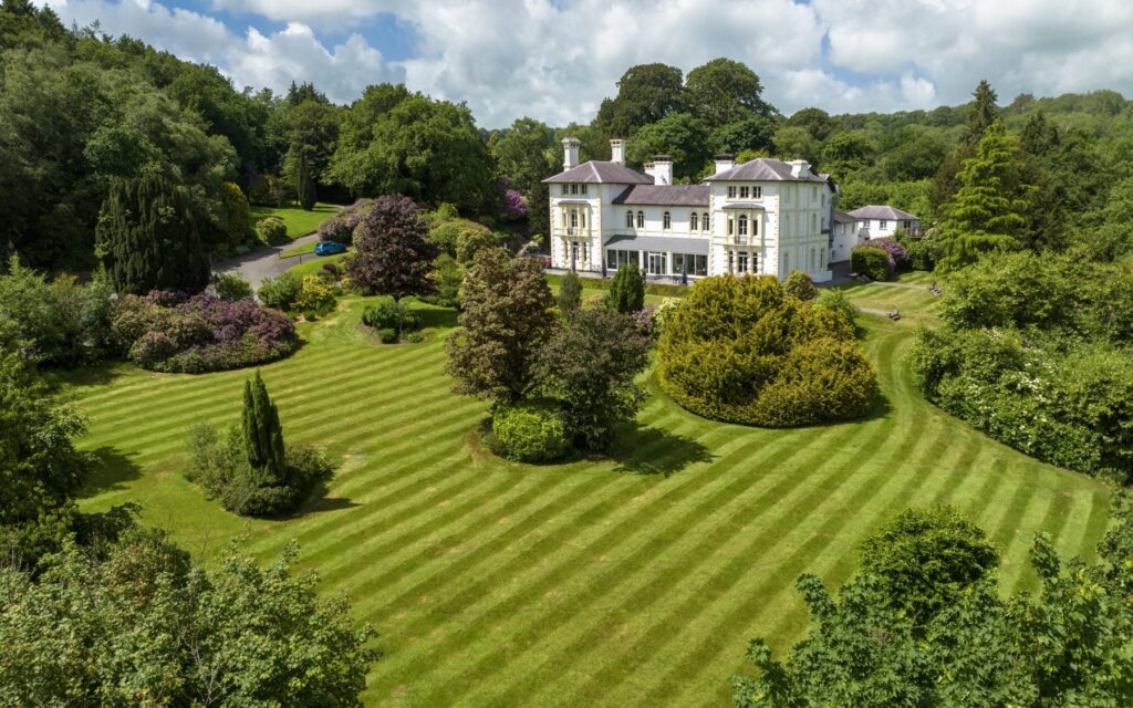
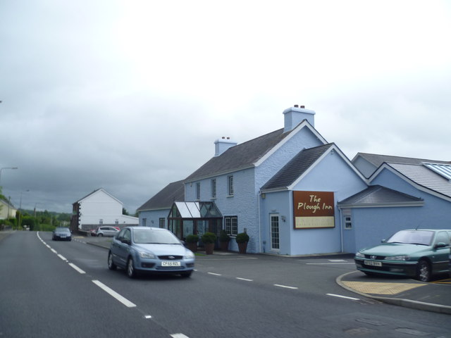
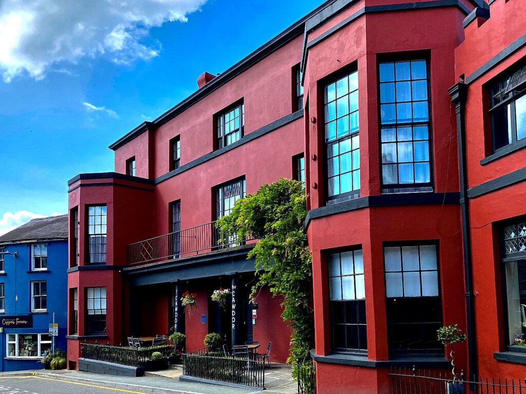
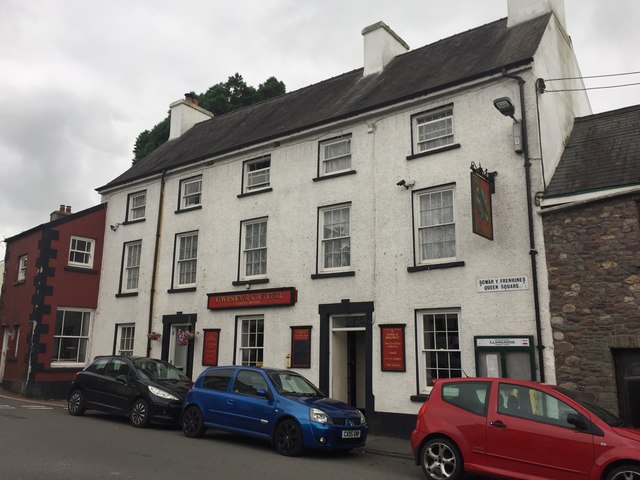
Stay a mile outside Lampeter at The Falcondale, a listed Victorian country house at the top of the Teifi valley, or at the southern end at The Plough at Rhosmaen or The Cawdor in Llandeilo. For lunch near Llanwrda, Y Castell is on the square in Llangadog, at the foot of the Black Mountain Pass.
Good to know
- 01Farm traffic is common, particularly around Pumsaint and Llanwrda.
- 02Dolaucothi Gold Mines has parking and a café; check opening times with the National Trust out of season.
- 03From Lampeter, the A485 to Tregaron puts you at the start of the Abergwesyn Pass.
- 04Llanwrda sits on the A40, so Llandovery and its cafés, including the West End Café, are a few miles east.
- 05Our fuel map shows the forecourts at Lampeter and along the A40.
Photo: Road (A482) at Gwastod – geograph.org.uk – 8205780 by Peter Wood, CC BY-SA 2.0