The Llŷn Peninsula, Penrhyn Llŷn in Welsh, is the long arm of north-west Wales that reaches some 30 miles into the Irish Sea, and the further you go the quieter it gets. Our 37 mile line runs from Pwllheli to Aberdaron and round to Nefyn, finishing on the B4417, and tops out at 259 m. It is a slow road by design: lanes, high banks and sea on three sides.
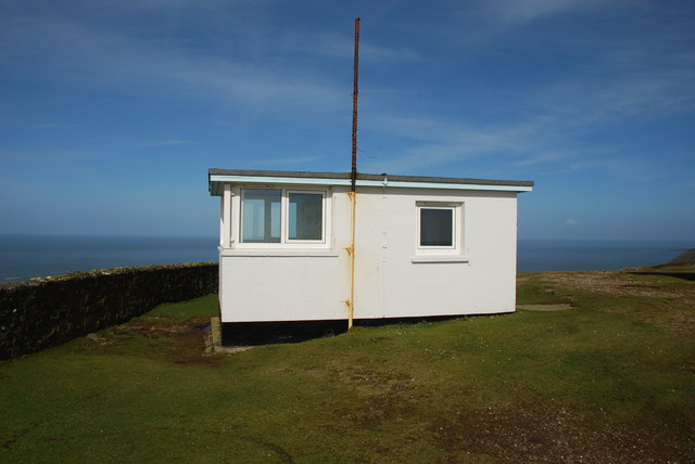
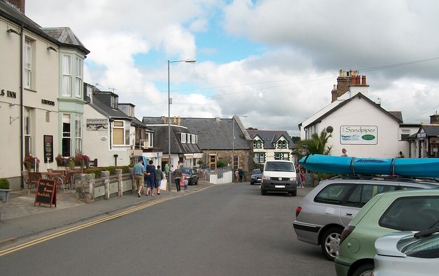
From Pwllheli the road runs along the south coast to the sailing village of Abersoch, then on through narrow lanes to Aberdaron, the last rest stop for pilgrims heading for Ynys Enlli (Bardsey Island), the island of 20,000 saints. Detour up the lane to Mynydd Mawr for the view across the sound to Bardsey. The road to the summit was built in the Second World War for a lookout post, and the National Trust now owns it.
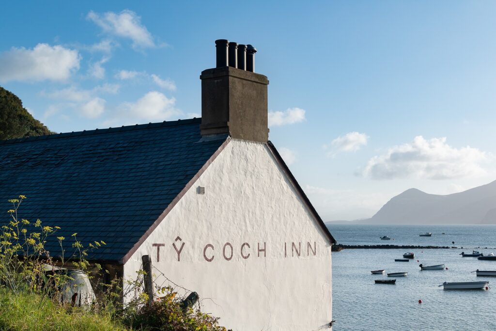
Cross to the north coast at Nefyn and leave time for the walk down to the Ty Coch Inn on the beach at Porthdinllaen, a village the National Trust has owned since 1994. Finish on the B4417, which climbs over the shoulder of Yr Eifl, the Rivals, with huge views back down the peninsula. Near Abersoch, The Dining Room is the place to eat.
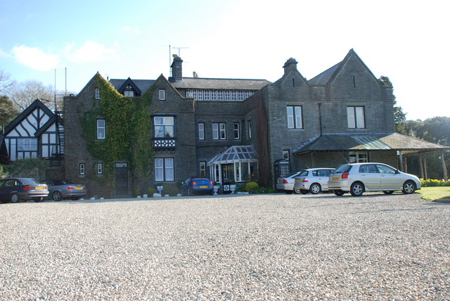
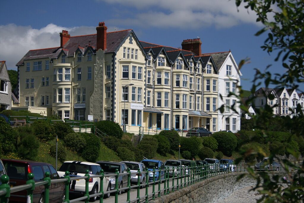
Stay at Bron Eifion or the Caerwylan in Criccieth, both a short run from Pwllheli. From there the Harlech coast and Nant Gwynant are the obvious next roads into Eryri.
Good to know
- 01Many of the lanes are single track with high banks. Take it slowly and use the passing places.
- 02There’s no fuel west of Abersoch and Nefyn. Fill up in Pwllheli; our fuel map shows what is open.
- 03The lane to Mynydd Mawr is very narrow and steep, with a small car park at the top.
- 04There is no road down to Porthdinllaen: vehicle access is for residents with a permit, so park and walk across the beach from Morfa Nefyn or over the golf course on the headland.
- 05These are county roads, so closures are posted by Gwynedd Council rather than Traffic Wales. Villages along the way are 20 mph, the Welsh default in built-up areas.
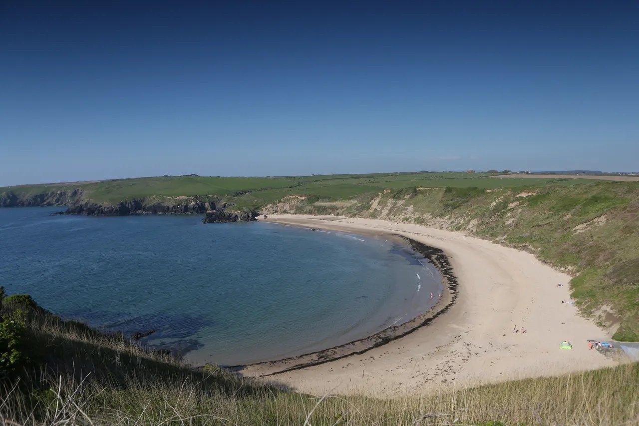
Photo: Porth Oer near Aberdaron, © Crown copyright, Visit Wales