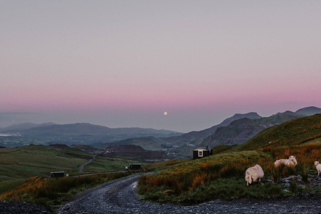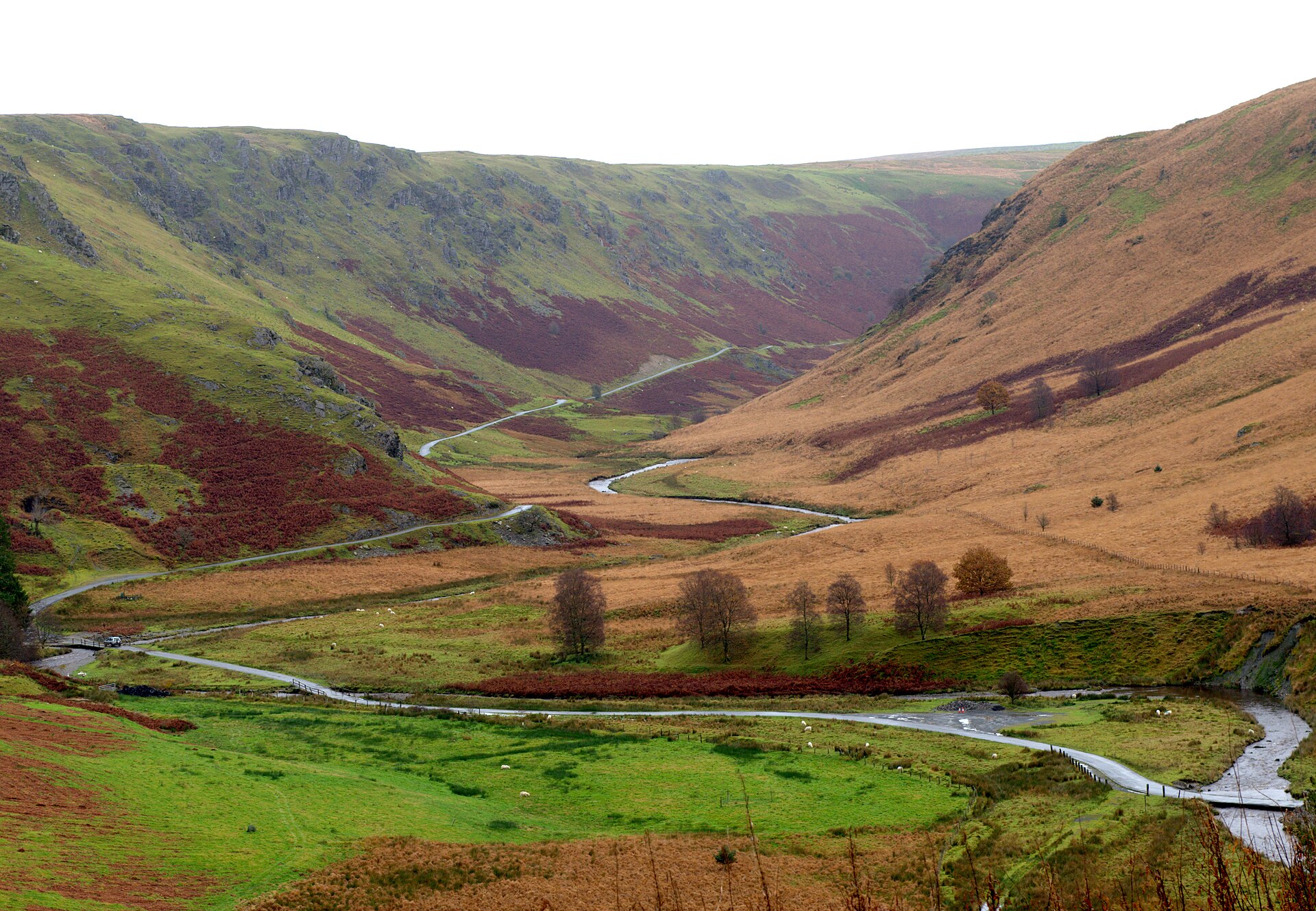
The Nantlle valley road is the B4418, Dyffryn Nantlle in Welsh, climbing from Penygroes through old slate country to Rhyd Ddu under Yr Wyddfa. Our 10.8 mile line runs from Penygroes to Beddgelert and tops out at 247 m, finishing on the A4085 beside Llyn y Gader.
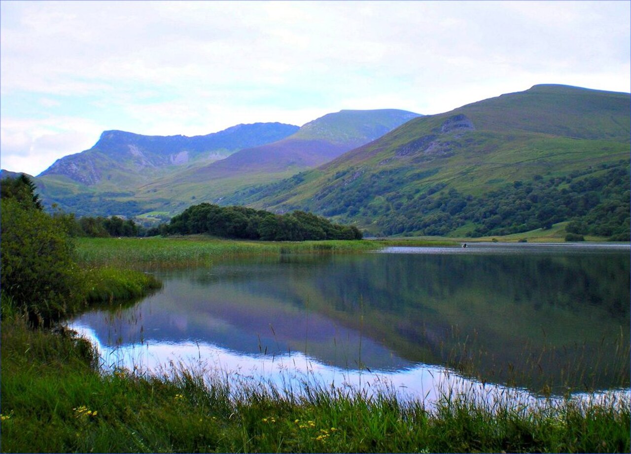
Few roads offer a better framed view of Yr Wyddfa than the one across Llyn Nantlle Uchaf. Richard Wilson painted it around 1765, and his Snowdon from Llyn Nantlle is one of the best known Welsh landscapes. The valley floor below is scarred and fascinating. The horse-drawn Nantlle Railway carried slate here from 1828 until 1963, and the valley is the main setting of the Fourth Branch of the Mabinogi. In the Middle Ages it was a hunting park for the royal family of Gwynedd, and after 1282 one of the first recorded jousts in Britain was held at Baladeulyn, between the two lakes.
Close to the road at Talysarn is Dorothea quarry, its flooded pits more than 100 m deep. Beyond the village of Nantlle the road narrows and threads between crags at Drws-y-Coed before emerging at Rhyd Ddu, birthplace of the poet T. H. Parry-Williams, where the Welsh Highland Railway runs alongside. The final miles on the A4085 are wider and faster, dropping through woodland into Beddgelert.
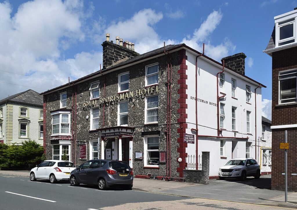
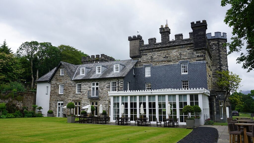
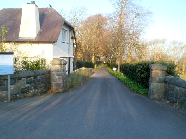
We would drive it in this direction, so that Yr Wyddfa grows ahead of you over the lakes. Stay at the Royal Sportsman Hotel in Porthmadog or Plas Weunydd in Blaenau Ffestiniog, and dine at The Gunroom at Plas Dinas. From Beddgelert, Nant Gwynant and the Aberglaslyn Pass make the natural second half, and the Llanberis Pass is close by.
Good to know
- 01The B4418 through Drws-y-Coed is narrow, with stone walls tight to the tarmac. Take it slowly.
- 02Rhyd Ddu is the start of the Rhyd Ddu Path up Snowdon, and its car park is busy from early morning in summer.
- 03Dorothea quarry is not a place to swim. Diving there is licensed and strictly limited to qualified divers.
- 04The B4418 is a county road, so closures come from Gwynedd Council rather than Traffic Wales, which covers trunk roads.
- 05Pair it with the Nant Gwynant and Aberglaslyn route from Beddgelert for a full afternoon.
Photo: Llyn Nantlle Uchaf – geograph.org.uk – 2032615 by Tom Gaunt, CC BY-SA 2.0