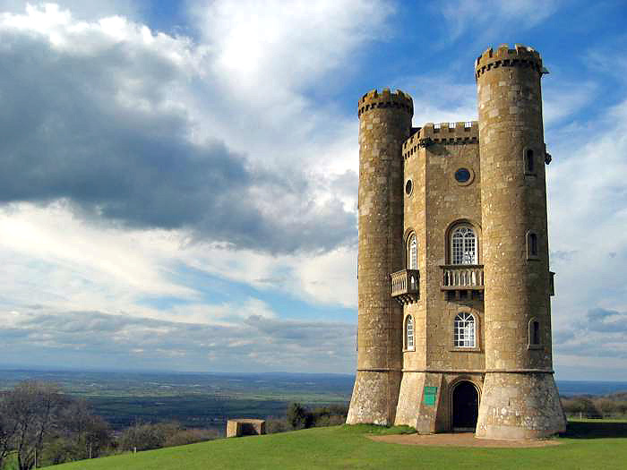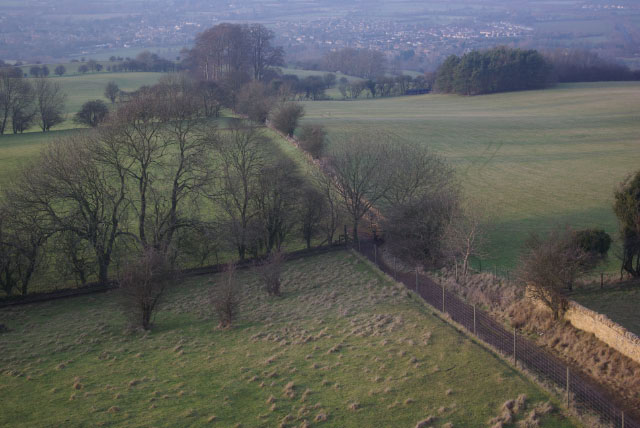
Looking down from Broadway Tower

Routes / Cotswolds

The Cotswold escarpment

Scenic road Broadway to Castle Combe

Distance59.2mi
Drive time120min
Summit297m
Total climb1506m
Limits30–60mph
RegionCotswolds

Scenic road Slower, narrower and more scenic. Rough in places, so not the best for low, stiff performance cars.

The Cotswolds end in a long, steep escarpment looking west over the Severn vale, and this drive follows it south. Start at Broadway Tower on the edge of the hills, then drop through Snowshill to Winchcombe and Sudeley Castle.

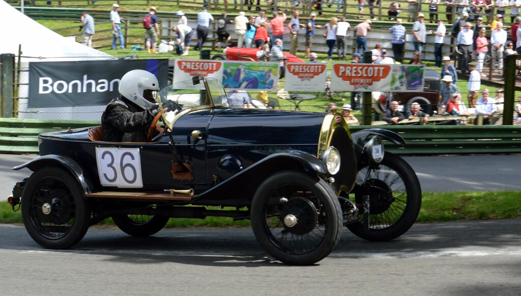
Detour to Prescott, the Bugatti Owners' Club hill climb, then climb over Cleeve Hill, the highest point in the Cotswolds, before running south through Painswick, Nailsworth and Tetbury. The drive ends at Castle Combe: the village is often called the prettiest in England, and the race circuit is just up the road.

Good to know

  1. 01
    Cheltenham and the A46 can be slow at rush hour. Plan around it.
  2. 02
    Prescott and Castle Combe both run events most weekends in season, which makes for great spectating and busy roads.
  3. 03
    Castle Combe village has a car park at the top of the hill; the village street is not for parking.

Photo: Looking down from Broadway Tower by Stephen McKay, CC BY-SA 2.0
The climb

39 m to 297 m · summit at 5.1 mi
Start · 0 miFinish · 59.2 mi

Up top today

Forecast at the summit, 297 m · updated 04:21
Take care

Damp roads on the top

Best between 07:00 and 11:00. Take the high section gently outside it.

Now
Broken cloud
Air
6°C
Wind
14mph SW
Road
Dry
Golden hour · This morning

07:10to08:28

Sunrise 07:40 · Broken cloud: could be spectacular
  1. Today Take care 6–9°C · wind to 17 mph · 1 mm rain · damp roads
  2. Tomorrow Take care 4–8°C · wind to 6 mph · 1 mm rain · thick fog
  3. Friday Good day 5–6°C · wind to 12 mph · 1 mm rain · rain

Forecast from MET Norway, refreshed hourly. Mountain weather turns fast: check before you set off.

The live map

Turns, cameras, viewpoints and stops along the road

Quick answers

How long is The Cotswold escarpment?
The Cotswold escarpment is 59.2 miles from Broadway to Castle Combe and takes about 2 hours to drive without stopping.
How high does The Cotswold escarpment go?
It reaches 297 metres (974 feet) at its highest point, with 1506 metres of climbing along the way.
What is the speed limit on The Cotswold escarpment?
Limits along the route are 30–60 mph. Always follow the signs on the road, as Welsh limits can change.
What kind of car suits The Cotswold escarpment?
We class it as a Scenic road. Slower, narrower and more scenic. Rough in places, so not the best for low, stiff performance cars.
Where should I stay near The Cotswold escarpment?
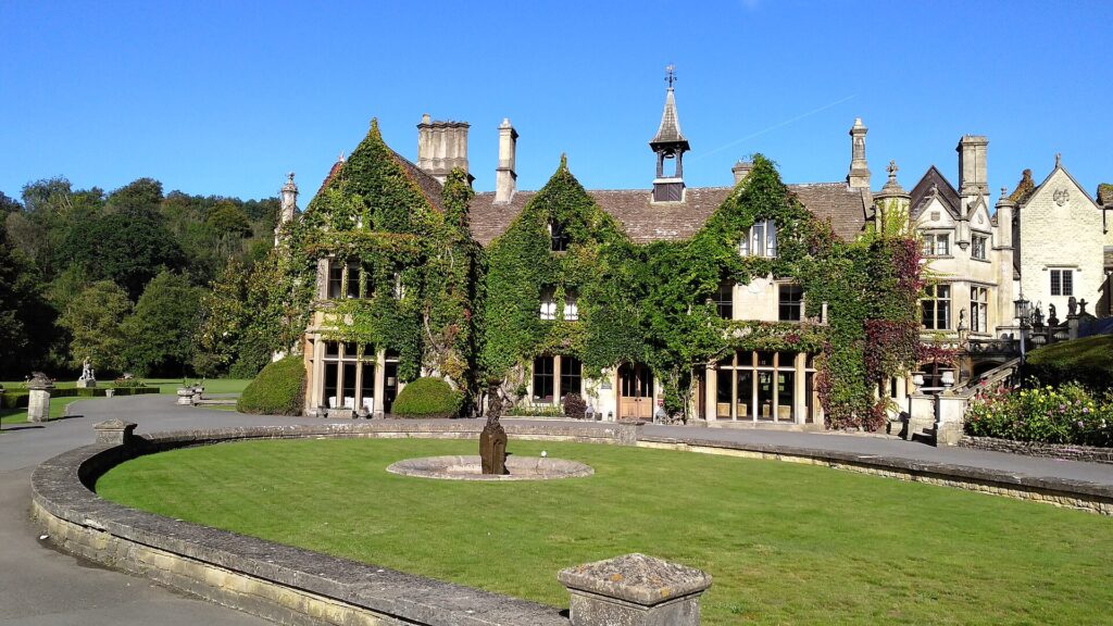
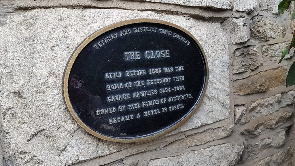
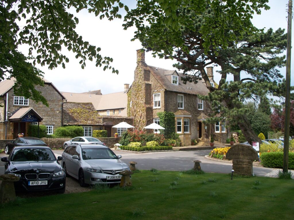
The graded hotels we would choose near this road are Dormy House, The Manor House, Castle Combe and The Close Hotel.

Read more about this road

The Logbook →

Graded hotels within easy reach of the road, the four and five stars first.

Stop along the way

All stops on the map →
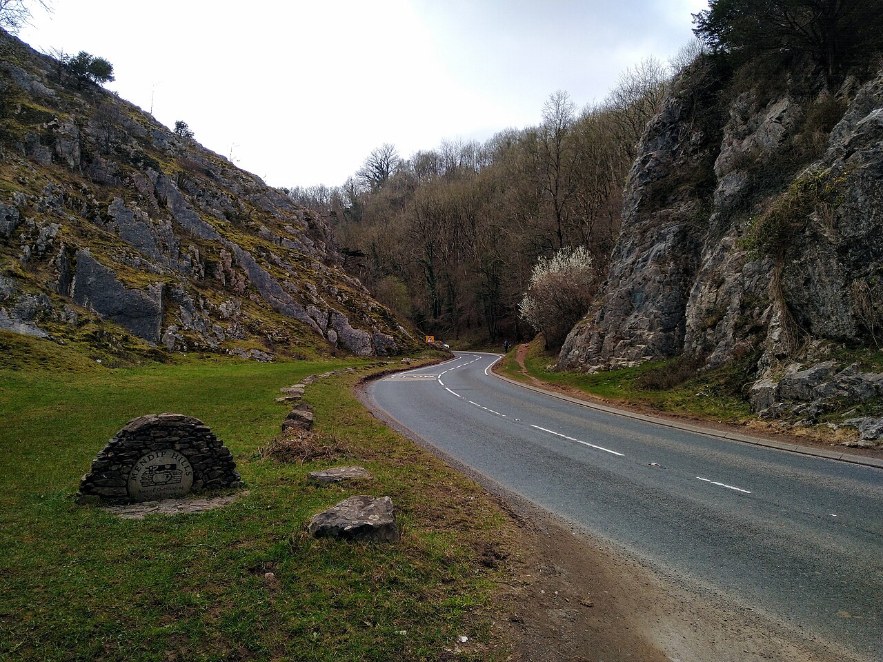
Rock of Ages, Burrington Combe - geograph.org.uk - 6961650
Next road · Somerset

Burrington Combe and Cheddar Gorge

Burrington to Cheddar · 10.6 mi Drive it next →