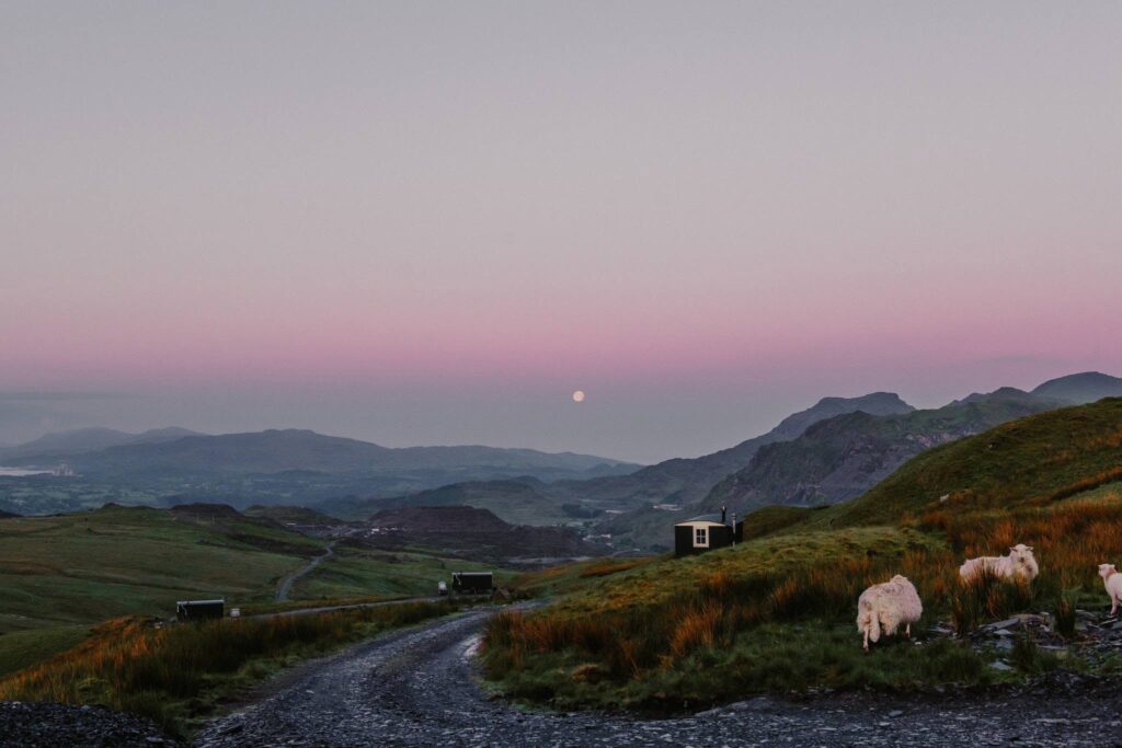
The Migneint is the great moorland between Bala and Ffestiniog, crossed by the A4212 past Llyn Celyn and then the B4391. Our 19.6 mile line runs from Bala to Ffestiniog and tops out at 461 m, with nothing but heather, bog and sky for mile after mile.
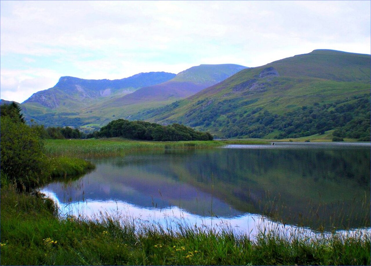
Leave Bala on the A4212 up the Tryweryn valley to Llyn Celyn, the reservoir built between 1960 and 1965 for Liverpool Corporation. It drowned the village of Capel Celyn despite the opposition of 35 of the 36 Welsh MPs, and Liverpool City Council issued a public apology in 2005. The memorial chapel by the shore was built with stones from the old chapel and other buildings in the village. The lake lies between Arenig Fawr and Arenig Fach, and its releases into the Tryweryn feed the white-water course at Canolfan Tryweryn below the dam.
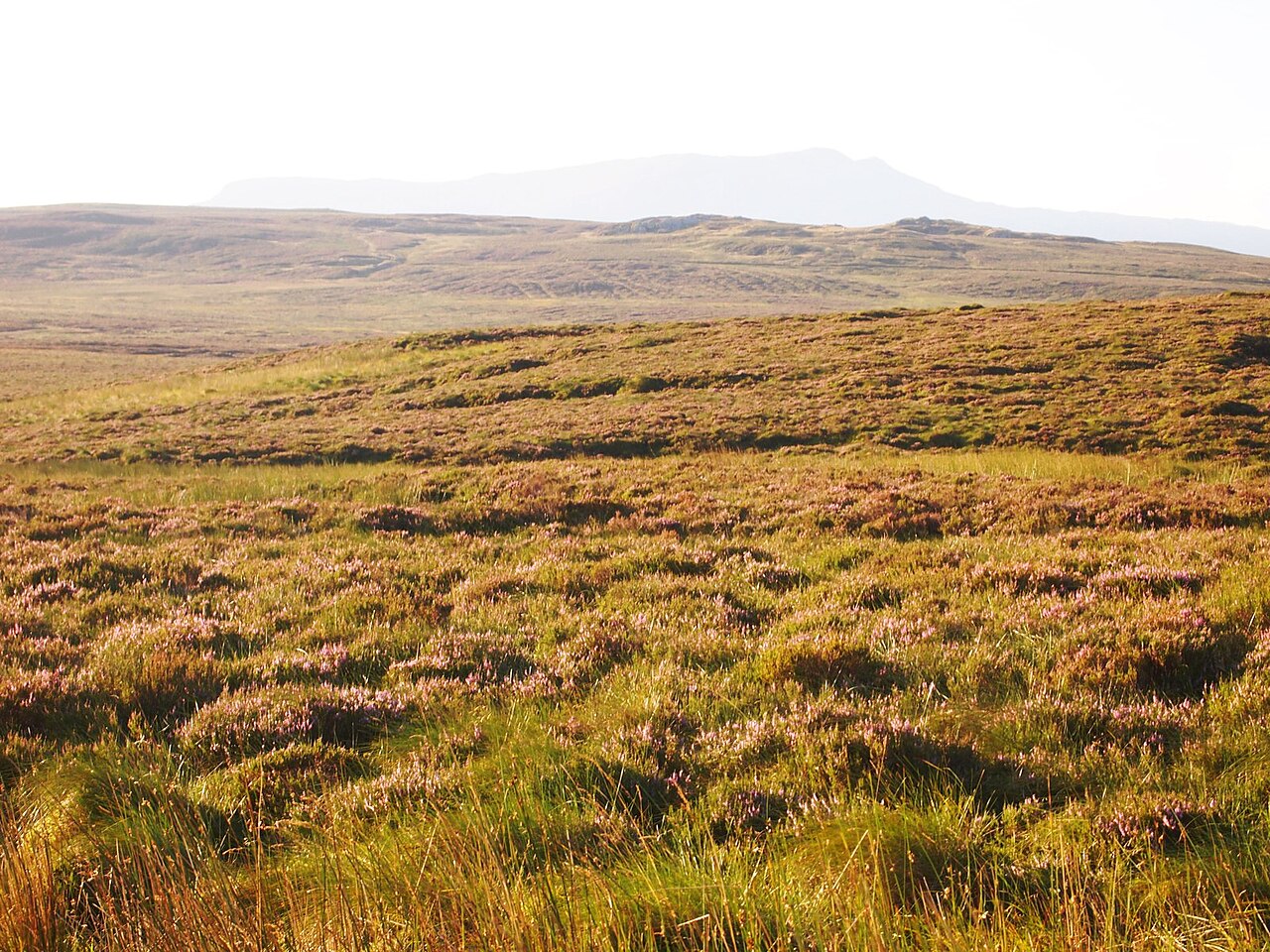
Beyond the lake, turn onto the B4391 and climb onto the Migneint, part of the Migneint-Arenig-Dduallt Special Area of Conservation and either the largest or second largest area of blanket bog in Wales. It is fast and flowing, with long sightlines, until it reaches Pont yr Afon-Gam, once said to have the highest petrol station in Wales. From there the road tightens and drops past the Rhaeadr Cynfal waterfalls into Ffestiniog, with the Vale of Ffestiniog opening up below.
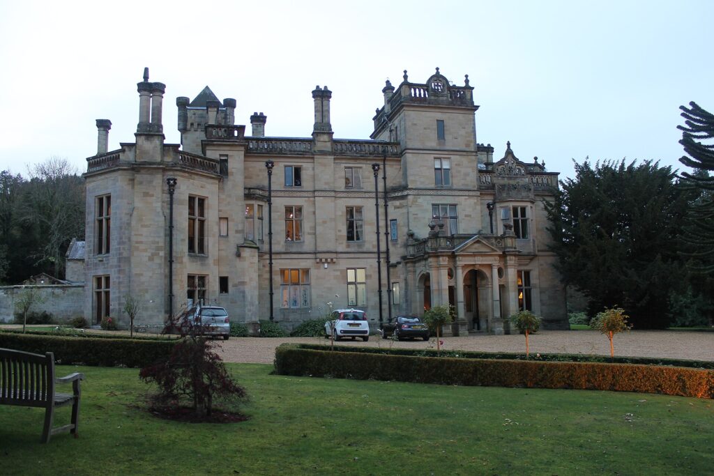
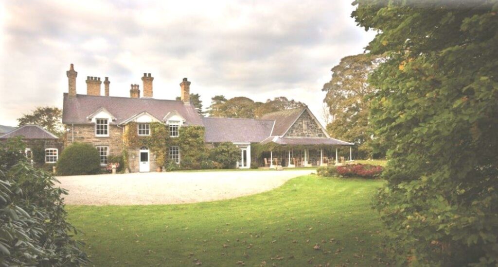
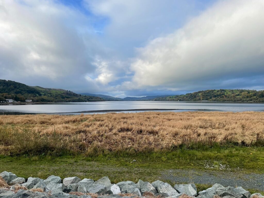
Stay at Palé Hall near Bala, where The Henry Robertson is the dining room, or at Plas Weunydd in Blaenau Ffestiniog at the far end. Start at Llyn Tegid, and come back over Milltir Gerrig, or head north from Blaenau over the Crimea Pass.
Good to know
- 01Sheep graze unfenced across the Migneint. Expect them on the road.
- 02Llyn Conwy, the source of the River Conwy, lies out on the Migneint.
- 03There is no fuel between Bala and Ffestiniog. Fill up in Bala.
- 04For closures, check Traffic Wales and Gwynedd Council before you set off.
- 05The moor is high and open, with little shelter. Pull in only where there is room to get fully off the road.
Photo: Migneint Moorland – geograph.org.uk – 5078131 by Chris Andrews, CC BY-SA 2.0