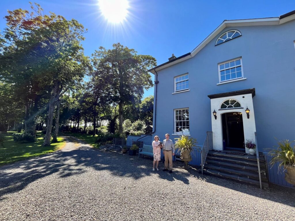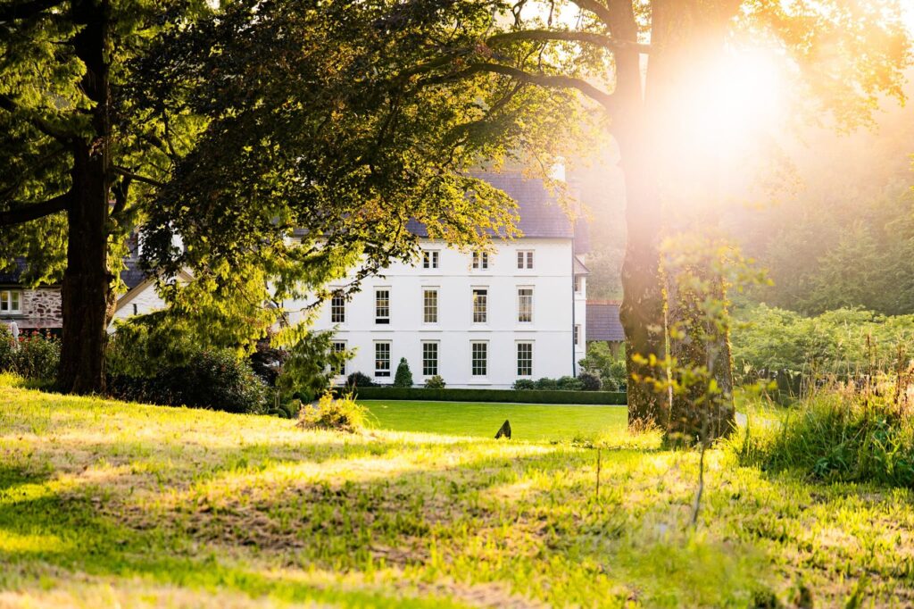
Caemorgan Mansion
A Georgian-style guest house in its own grounds just outside Cardigan, with three en-suite bed and breakfast rooms…
Check rates
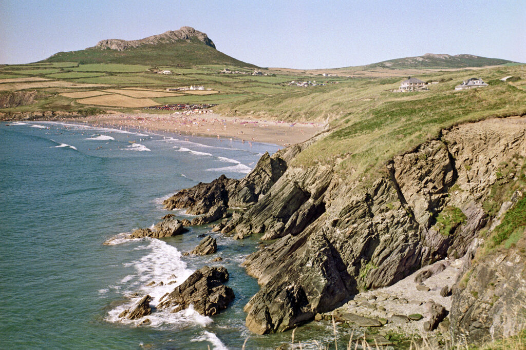
West Wales is coast first. Our Pembrokeshire drive runs from St Davids, the UK's smallest city, along the north coast to Cardigan, and the B4329 crosses the Preseli hills, source of Stonehenge's bluestones, with the whole county spread out below. The lanes are narrow and busy in high summer, so spring and autumn are the times to drive here.
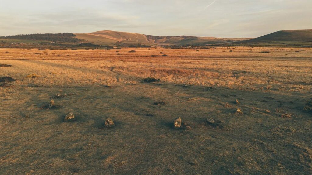
The Cambrian Mountains and the Abergwesyn Pass are a short drive east in Mid Wales, and our West Wales road trip joins it all up with hotels for each night.
Scenic road 36.4 mi · 75 min · summit 187 m
St Davids to Cardigan
From the UK's smallest city along the north Pembrokeshire coast, with a detour to Porthgain harbour.
Driving road 25.9 mi · 50 min · summit 407 m
Haverfordwest to Newport
The B4329 over the Preseli hills, source of Stonehenge's bluestones, with the whole of Pembrokeshire spread out below.
A Georgian-style guest house in its own grounds just outside Cardigan, with three en-suite bed and breakfast rooms…
Check ratesA five-star Georgian country house restaurant with rooms on a 600-acre beef and cereal farm near Solva, a…
Check ratesA five-star country house hotel near Narberth, with roots in the 15th century and the Fernery, a four…
Check ratesA guide, not a guarantee. Routes, limits, fuel and hotel details can be wrong or out of date, so the road signs always win. By using this site you agree to our Terms of use.