
Driving routes in the Peak District
The Peak District is the nearest big upland to North Wales, a couple of hours from Llangollen. On the gritstone moors of the Dark Peak, the Snake Pass crosses between Glossop and the Ladybower reservoir and Holme Moss climbs past the transmitter mast that the Tour de France rode in 2014. To the west, the Cat and Fiddle and the A53 past Ramshaw Rocks run into Buxton, with Long Hill alongside, and at Castleton the Winnats Pass climbs through a limestone gorge onto Rushup Edge. Buxton makes the best base for the roads in the south and west of the Peak, and Glossop for the Snake Pass and Holme Moss.
-
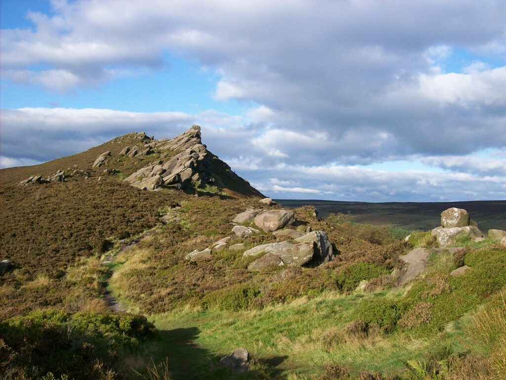
Ramshaw Rocks and Axe Edge
Driving road 12.8 mi · 25 min · summit 499 m
Leek to Buxton
A high, wild trunk road past the gritstone of Ramshaw Rocks and over Axe Edge into Buxton.
-
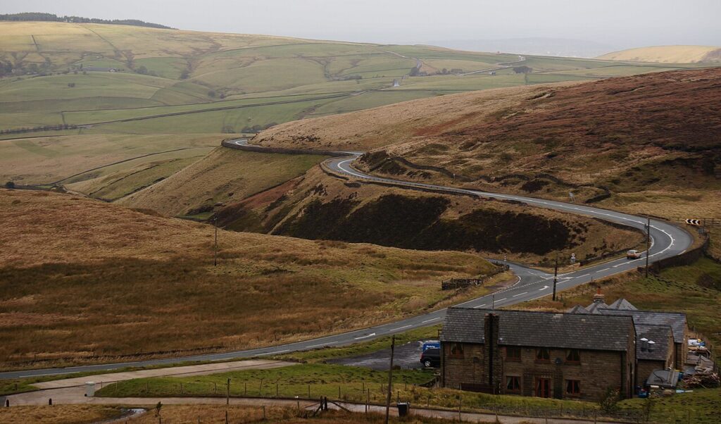
The Cat and Fiddle
Driving road 11.1 mi · 20 min · summit 515 m
Macclesfield to Buxton
The famous A537 over the western moors of the Peak District, to the second highest inn in England.
Quick answers
- How many driving routes are there in the Peak District?
- We have mapped 2 driving routes in the Peak District: 2 fast, well-surfaced A-road drives and 0 slower scenic tours on narrower roads.
- What is the highest driving road in the Peak District?
- Of the roads we have mapped, The Cat and Fiddle reaches the highest point, about 515 m above sea level on our line.
- What is the longest drive in the Peak District?
- Ramshaw Rocks and Axe Edge is the longest at 12.8 miles, about 25 minutes of driving without stops.
- Where should I stay for a driving break in the Peak District?
- Our graded hotels in the Peak District are listed with the nearest great road to each, and every one has live rates and dates. See the hotels list for the Peak District on Drive Tour Wales.