Cross Foxes
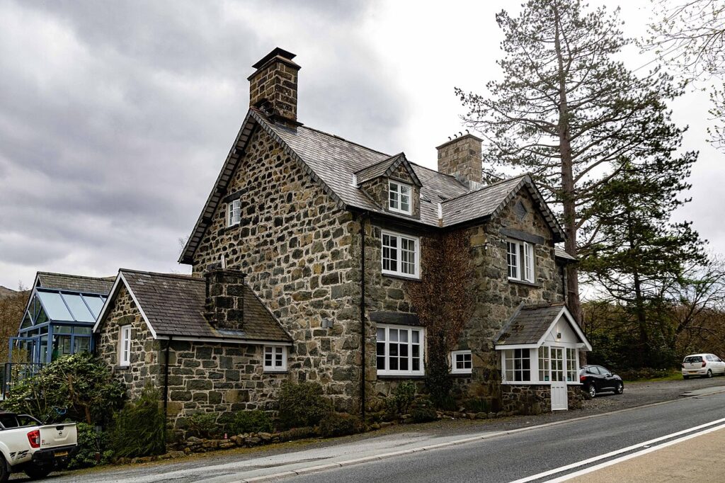
A Grade II listed 1859 inn at the junction of the A470 and A487 below Cadair Idris, now…
Check rates
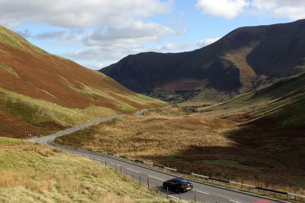
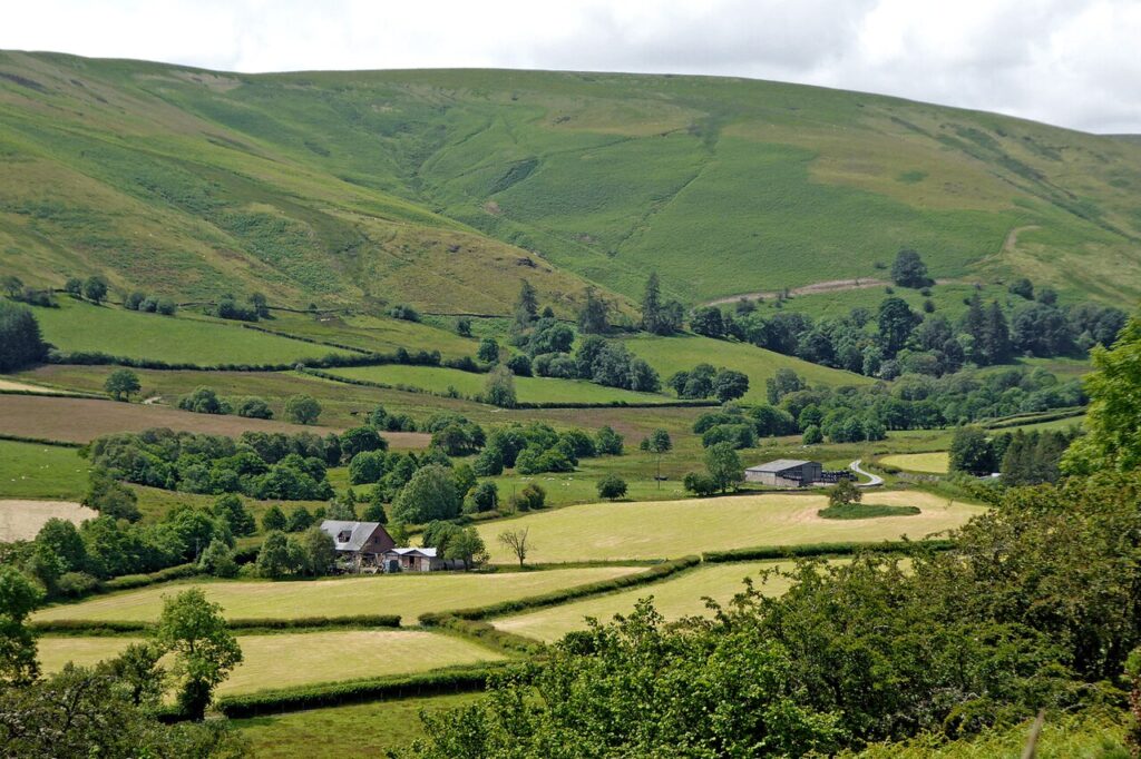
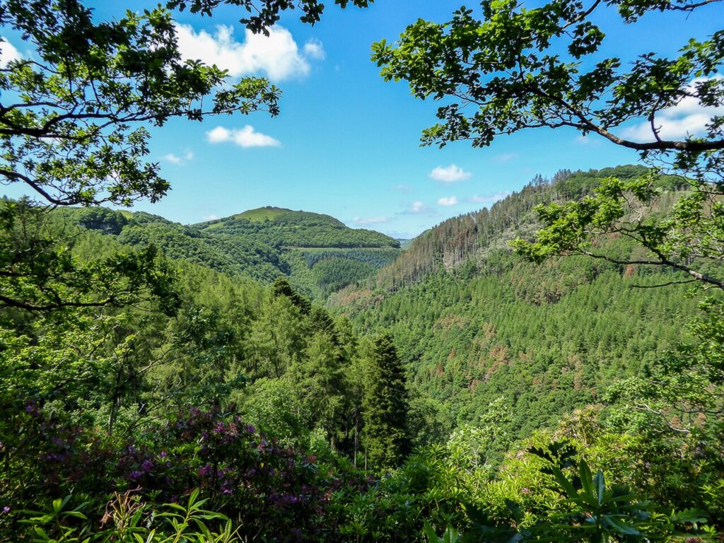
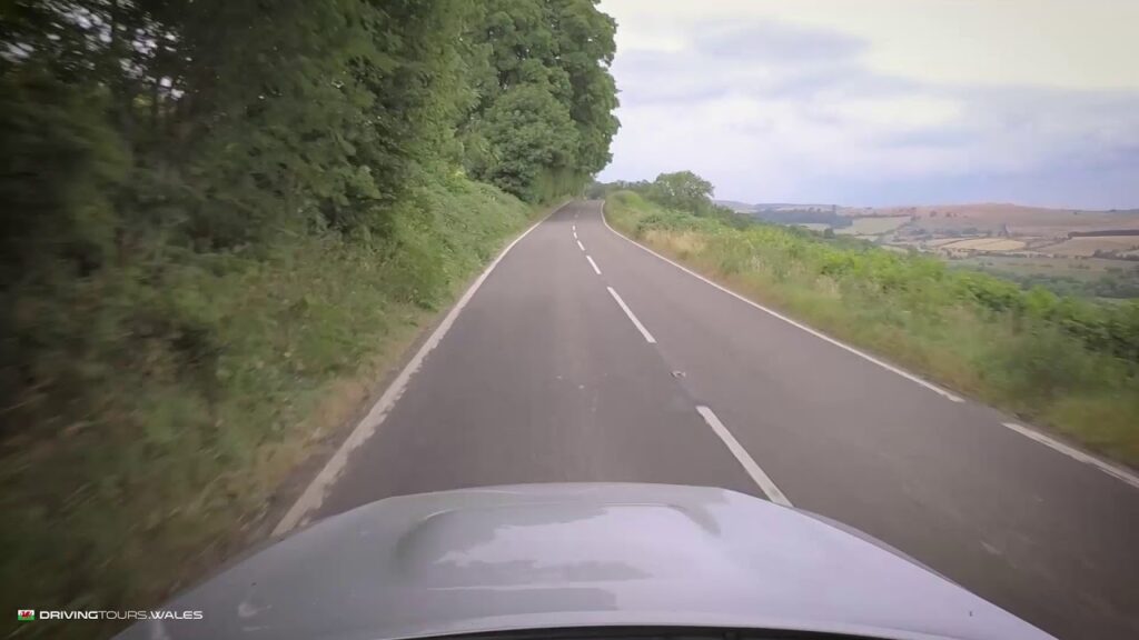
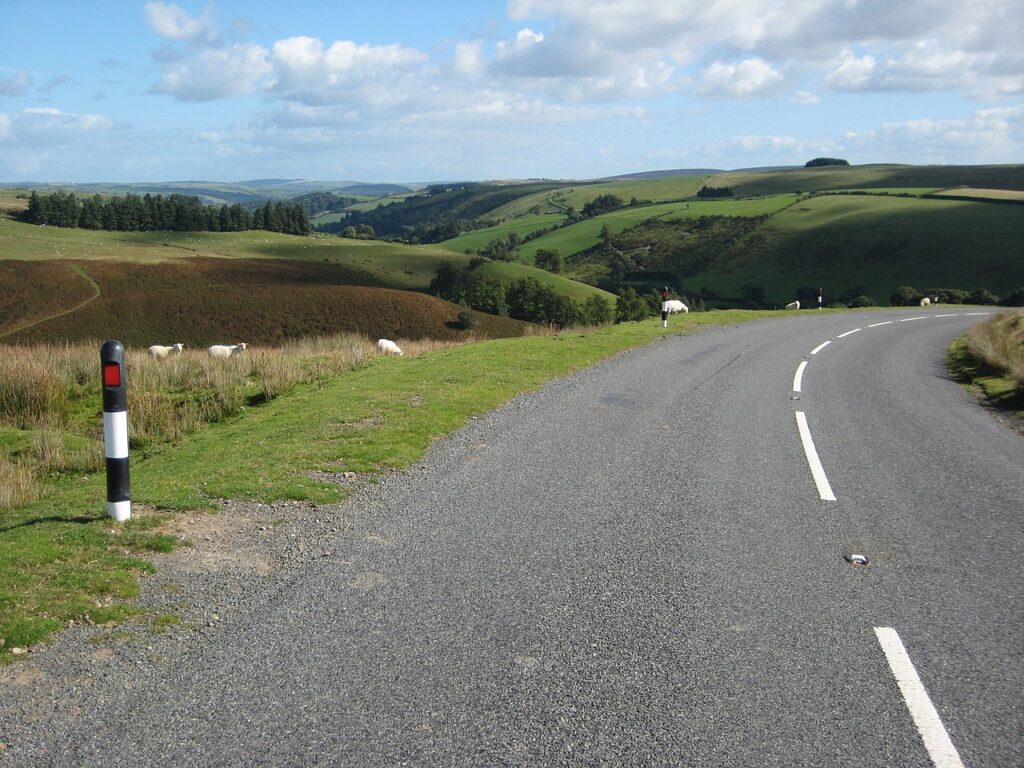
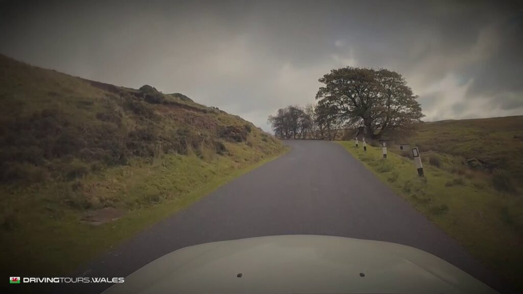
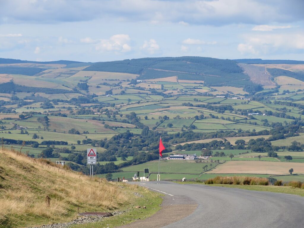
Mid Wales is the quiet heart of the country and, for many drivers, its best. The roads are emptier than in Eryri or the Beacons, and the Cambrian Mountains give long stretches of open upland with barely a village. The Abergwesyn Pass and its Devil's Staircase, the Elan Valley and its dams, and the mountain road from Machynlleth over Dylife are slow, single-track tours. For faster driving, the A44 over Pumlumon and the A470 and A483 follow the valleys, and the military roads over Mynydd Epynt are smooth and open. The Cambrian coast road along the Dyfi estuary is here too.
Rhayader, Llanwrtyd Wells and Machynlleth make good bases. Fuel is sparse in the hills, so fill up in the towns.
Scenic road 19.1 mi · 40 min · summit 481 m
Llanwrtyd Wells to Tregaron
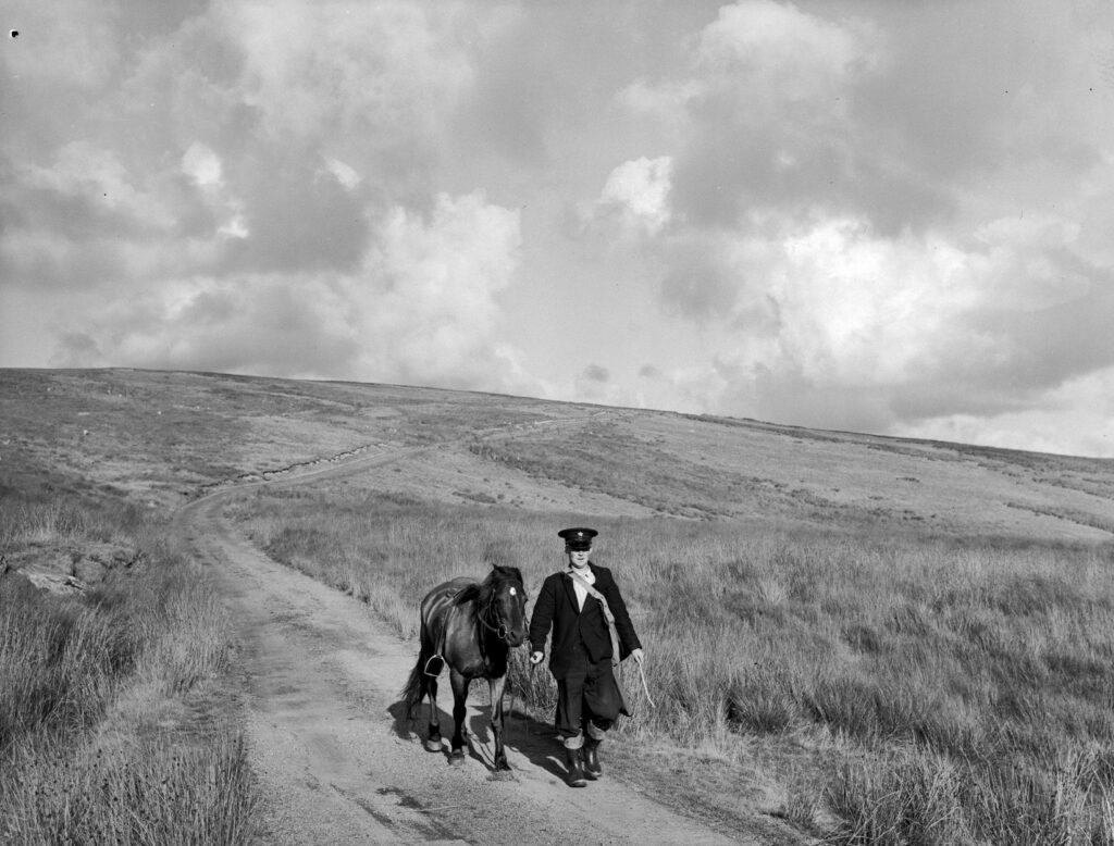
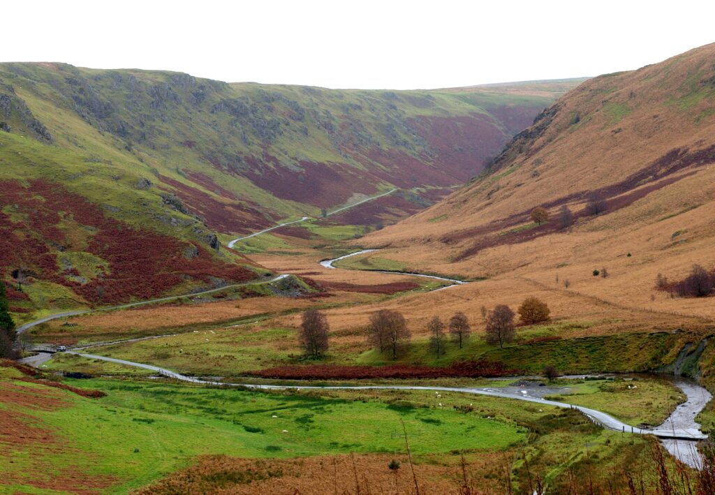
An old drovers' road over the Cambrian Mountains, 19 miles of single track with the 1 in 4 Devil's Staircase hairpins in the middle.
Scenic road 25.8 mi · 50 min · summit 404 m
Rhayader to Devil’s Bridge
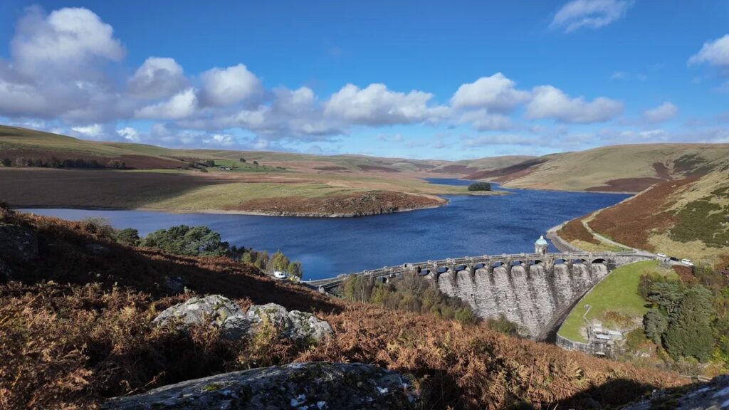
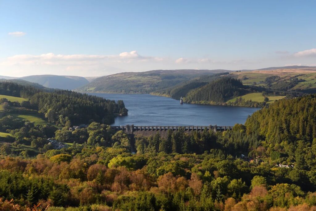
Four dams, empty uplands and the old mountain road to Devil's Bridge, 25.8 miles across the most remote part of Mid Wales.
Scenic road 36.0 mi · 70 min · summit 72 m
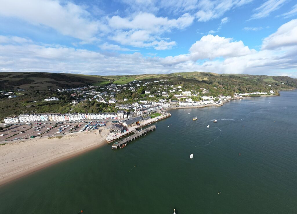
Machynlleth to Dolgellau by Aberdyfi
The A493 along the Dyfi estuary and Cardigan Bay, with Cadair Idris at the end and never more than 72 m above the sea.
Scenic road 61.1 mi · 120 min · summit 481 m
Tregaron, Llyn Brianne and Llandovery
The loneliest roads in Wales: over the drovers' road and the Devil's Staircase, round Llyn Brianne and back through the Teifi valley.
Driving road 31.8 mi · 65 min · summit 287 m
Machynlleth to Newtown
The fast way east from Machynlleth: the A489 and A470 up the Twymyn valley, over the pass at Talerddig and down by Carno and Caersws to Newtown.
Driving road 24.4 mi · 50 min · summit 417 m
Llangurig to Aberystwyth
A fast, open trunk road over the shoulder of Pumlumon, source of the Severn and the Wye, down to the sea at Aberystwyth.
Scenic road 23.9 mi · 50 min · summit 513 m
Machynlleth to Llanidloes over Dylife
The old mountain road from Machynlleth, past Wynford Vaughan-Thomas's memorial and the lost lead-mining village of Dylife to Llyn Clywedog.
Driving road 23.8 mi · 50 min · summit 289 m
Llandovery to Builth Wells
A fast, open trunk road over the Sugar Loaf pass and through Llanwrtyd Wells to the Wye at Builth.
Scenic road 22.7 mi · 45 min · summit 363 m
Tywyn to Dinas Mawddwy
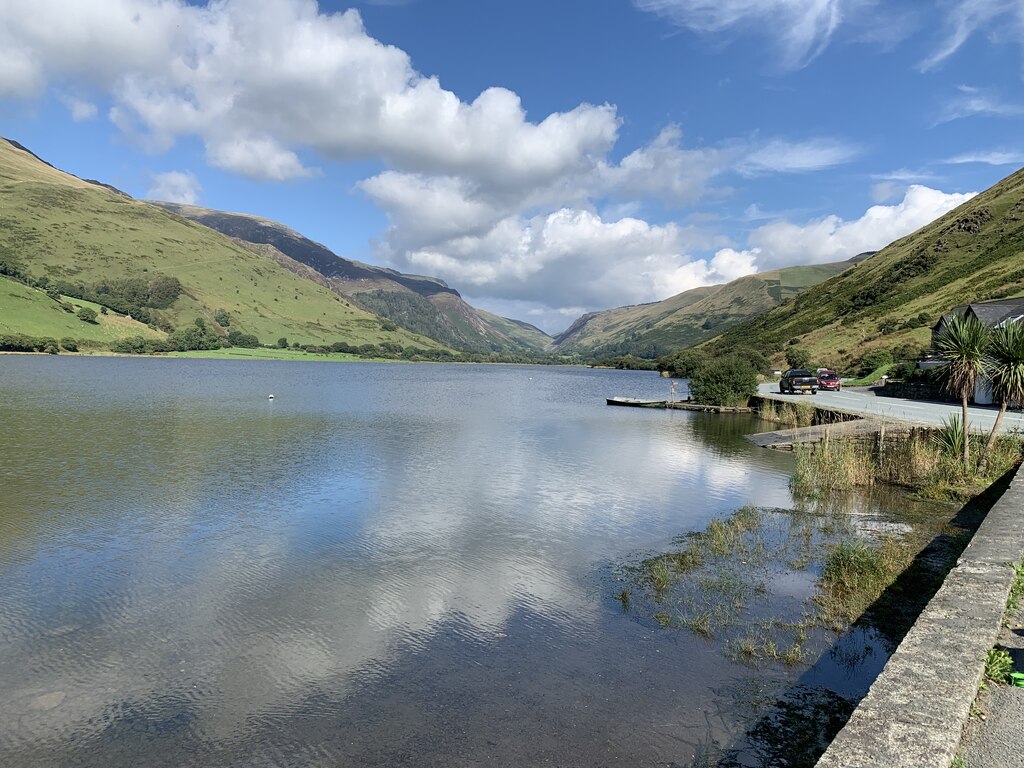
Up the valley of the Dysynni to Tal-y-llyn lake under Cadair Idris, then over the Bwlch Oerddrws to the foot of Bwlch y Groes.
Driving road 22.2 mi · 45 min · summit 296 m
Llangurig to Builth Wells
The trunk road at its best, following the young Wye through a wooded gorge to Rhayader and on to Builth.
Driving road 20.7 mi · 40 min · summit 376 m
Crossgates to Newtown
Thirty five kilometres of open, flowing A road through the heart of Radnorshire and over Dolfor hill.
Driving road 18.8 mi · 40 min · summit 136 m
Aberystwyth to Machynlleth
The trunk road north from Aberystwyth through Tal-y-bont and Furnace to Machynlleth, with Ynyshir at Eglwys Fach on the way.
Scenic road 18.2 mi · 35 min · summit 337 m
Llanfyllin to Llanwddyn
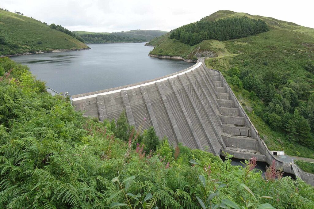
A Victorian dam, a fairy-tale straining tower and a full circuit of the lake on the B4393.
Driving road 15.0 mi · 30 min · summit 313 m
Llanwrda to Lampeter
A fast, flowing A road through Pumsaint and the Roman gold country to the university town of Lampeter.
Scenic road 13.8 mi · 30 min · summit 303 m
Ponterwyd to Aberystwyth by Devil’s Bridge
A cliff-top road high above the Vale of Rheidol, through Devil's Bridge and down to the sea at Aberystwyth.
Driving road 11.7 mi · 25 min · summit 381 m
Llanfihangel-nant-Melan to Builth Wells
A quiet, flowing cross-country road through the Radnorshire hills, from the A44 down to Builth Wells.
Driving road 9.1 mi · 20 min · summit 470 m
Beguildy to Dolfor
Up the Teme valley and over the open top of Kerry Hill, a favourite with riders and drivers alike.
Driving road 7.9 mi · 15 min · summit 276 m
Tirabad to Garth
Part two of the road over the Epynt, from Tirabad to Garth. Quiet, open and straight through a military range.
Driving road 7.9 mi · 15 min · summit 419 m
Builth Wells to Upper Chapel
Out of Builth Wells and up onto the open edge of the Epynt, on the old road towards Brecon.
Driving road 7.8 mi · 15 min · summit 390 m
Nant Melan to Crossgates
The A44 climb from Llanfihangel Nant Melan over the hill to Llandegley, Penybont and Crossgates, past the spoof Llandegley International Airport sign.
Driving road 7.7 mi · 15 min · summit 231 m
Trecastle to Llandovery
A sweeping wooded descent on the old London to Fishguard road, past Halfway and the Mail Coach Pillar.
Driving road 6.8 mi · 15 min · summit 440 m
Halfway to Tirabad
A nameless military road through the Epynt ranges, near the famous Halfway rally stages. Smooth, quiet and full of crests.
Driving road 6.3 mi · 15 min · summit 455 m
Garth to Upper Chapel
The empty range road over Mynydd Epynt, from the Irfon valley to the top of the B4520.
A Grade II listed 1859 inn at the junction of the A470 and A487 below Cadair Idris, now…
Check ratesA five-star eighteenth-century farmhouse guest house on the B4405 beside Tal-y-llyn Lake, with four rooms beneath Cadair Idris.
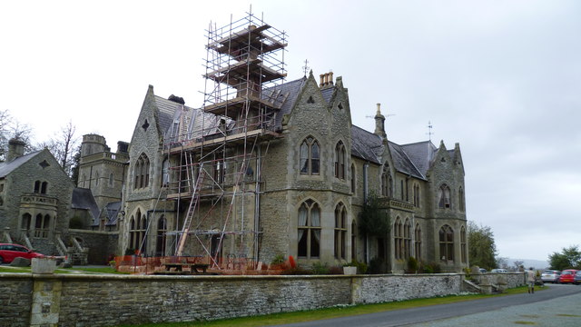
Check ratesA Grade II listed Victorian Gothic country house hotel with 11 bedrooms in historic parkland near Churchstoke, crossed…
Check ratesA guide, not a guarantee. Routes, limits, fuel and hotel details can be wrong or out of date, so the road signs always win. By using this site you agree to our Terms of use.