
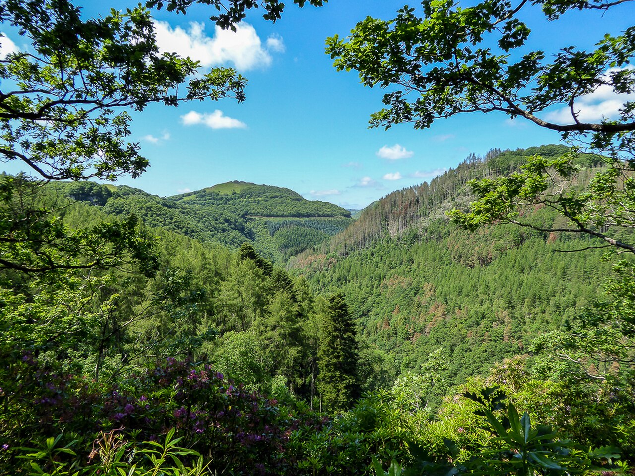

Wales is a wet country, and it shows in its waterfalls. Many of the best are a short walk from a car park on or near one of our roads, which makes them the perfect stop on a driving day. Here they are, north to south.
01North Wales
Swallow Falls, Betws-y-Coed. Right beside the A5 just west of Betws-y-Coed, so it fits on the way to the Ogwen valley or the Llanberis Pass. There is a small entry charge.
Conwy Falls. On the A5 south of Betws-y-Coed, behind the Conwy Falls Café, and on the way to the Evo Triangle.
Aber Falls. Above the village of Abergwyngregyn, just off the A55 between Bangor and Conwy. Allow an hour or more for the walk there and back.
Pistyll Rhaeadr. Usually called the tallest waterfall in Wales, it falls about 73 metres in three stages at the head of a valley beyond Llanrhaeadr-ym-Mochnant. It is a short drive from Llangynog at the end of Milltir Gerrig, and there is a car park and tearoom at the foot of the fall.
| Road | Class | Length | Time | Summit |
|---|---|---|---|---|
| The A5 through the Ogwen valley | Driving road | 23.0 mi | 45 min | 315 m |
| The Llanberis Pass (A4086) | Driving road | 23.6 mi | 45 min | 359 m |
| The Evo Triangle (A5, B4501, A543) | Driving road | 23.0 mi | 45 min | 464 m |
| The B4391 over Milltir Gerrig | Driving road | 12.7 mi | 25 min | 486 m |
02Mid Wales
Devil’s Bridge Falls. Where three bridges stack above each other over the Mynach gorge, at the end of the Elan Valley mountain road and the start of the Rheidol road. The walk down to the falls is steep, with many steps.
| Road | Class | Length | Time | Summit |
|---|---|---|---|---|
| The Elan Valley and the mountain road | Scenic road | 25.8 mi | 50 min | 404 m |
| The Rheidol road | Scenic road | 13.8 mi | 30 min | 303 m |
03South Wales: Waterfall Country
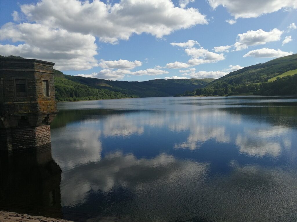

Around Pontneddfechan, at the southern edge of the Bannau Brycheiniog, four rivers drop through wooded gorges in a series of falls known as Waterfall Country. At Sgwd yr Eira you can walk behind the water. It is ten minutes from Penderyn at the end of the A4059, and close to the Rhigos. Paths are steep and slippery, so wear proper boots.
Henrhyd Falls, near Coelbren, is owned by the National Trust and appeared as the entrance to the Batcave in The Dark Knight Rises. It is a short drive from the A4067 Cray road.
| Road | Class | Length | Time | Summit |
|---|---|---|---|---|
| The A4059 ‘RS Country’ | Driving road | 17.1 mi | 35 min | 450 m |
| The Rhigos and the Bwlch | Driving road | 22.6 mi | 45 min | 530 m |
| The Cray and the upper Tawe | Driving road | 16.6 mi | 35 min | 381 m |
04When to go
Waterfalls are best after rain, which in Wales is rarely a long wait. Car parks at Swallow Falls, Waterfall Country and Pistyll Rhaeadr fill early on summer weekends, so arrive before ten.
05Quick answers
- What is the tallest waterfall in Wales?
- Pistyll Rhaeadr, near Llanrhaeadr-ym-Mochnant, is usually called the tallest, at about 73 metres in three stages.
- Which waterfalls in North Wales are near the road?
- Swallow Falls and Conwy Falls are both beside the A5 near Betws-y-Coed. Aber Falls is a walk of about an hour from Abergwyngregyn, just off the A55.
- Can you walk behind a waterfall in Wales?
- Yes. At Sgwd yr Eira in Waterfall Country, near Pontneddfechan, the path runs behind the fall.
Reviewed by Drive Tour Wales in November 2026. Conditions, limits and opening times change, so check before you travel.