
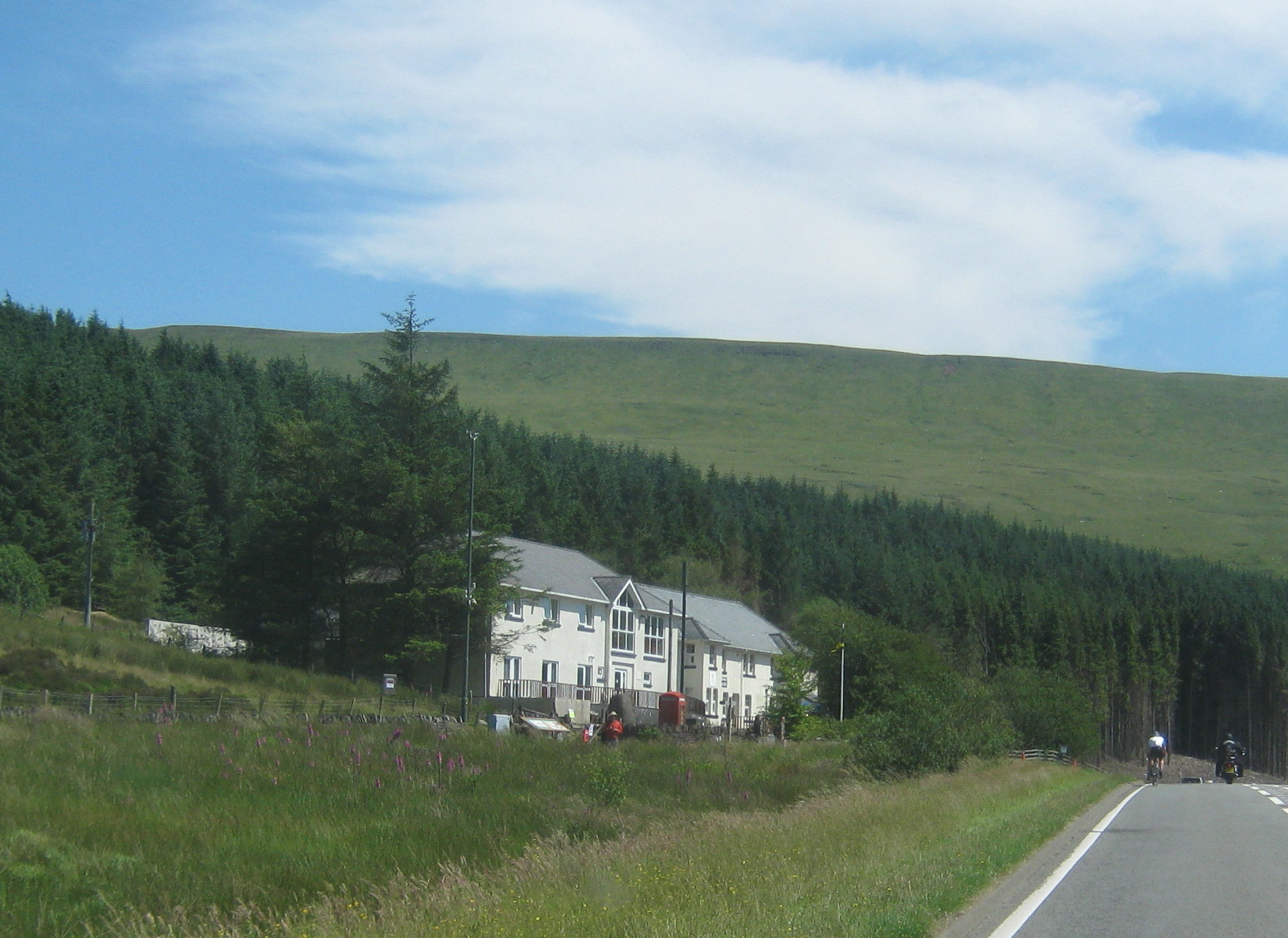
The Storey Arms

Routes / Trips

Driving the Cambrian Way

3-day trip

Days3
Distance234mi
Driving8hours
Our routes8
Stops7
Nights3

The Cambrian Way follows the A470, the spine of Wales, for about 185 miles from Llandudno to Cardiff, through Eryri and Bannau Brycheiniog. We drive it north to south over three days, and leave the main road wherever a better one runs alongside it.

Three days and about 230 miles, with every road, stop and night chosen and mapped for you. Open it on your phone and it guides you all the way, even where there's no signal.

The Wales Way is Visit Wales' family of three national touring routes. This is our own version for keen drivers rather than an official itinerary. For the full route and a slower pace, see the Cambrian Way on Visit Wales. New to Welsh roads? Read our guide to driving in Wales.

  1. Day 1Llandudno to Dolgellau75 mi
  2. Day 2Dolgellau to Brecon86 mi
  3. Day 3Brecon to Cardiff73 mi

The climb

Every day end to end · highest point 530 m
Start · 0 miFinish · 234 mi
01
Day 1

Llandudno to Dolgellau

75 mi 2 h 54 driving 3 routes

Start with the Great Orme, then follow the Conwy valley south to Betws-y-Coed. The Crimea Pass climbs over to the slate at Blaenau Ffestiniog. From Maentwrog, leave the A470 for the Harlech coast down to Barmouth, then follow the Mawddach inland.

Tonight: Penmaenuchaf Hotel, near Dolgellau.

The road, in order

  1. 01
    The Great Orme and the Conwy valley Scenic road Llandudno to Betws-y-Coed
    26.2 mi
  2. 02
    The Crimea Pass Driving road Betws-y-Coed to Blaenau Ffestiniog
    13.2 mi
  3. Joining roads, mapped for you
    6.3 mi
  4. 03
    The Harlech coast Scenic road Maentwrog to Barmouth
    21.9 mi
  5. Joining roads, mapped for you
    7.4 mi

Stops along the way

  1. 11:00
    Conwy Falls Café Motoring cafés

    Coffee by the falls, just past Betws-y-Coed.

02
Day 2

Dolgellau to Brecon

86 mi 2 h 53 driving 3 routes

Up to the Cross Foxes and over to Machynlleth, then take the mountain road across Dylife to Llanidloes. The A470 follows the upper Wye from Llangurig to Builth Wells, and the B4520 crosses Mynydd Epynt on the last run to Brecon.

Tonight: Castle of Brecon Hotel.

The road, in order

  1. Joining roads, mapped for you
    17.9 mi
  2. 01
    The mountain road Scenic road Machynlleth to Llanidloes over Dylife
    23.9 mi
  3. Joining roads, mapped for you
    4.8 mi
  4. 02
    The upper Wye on the A470 Driving road Llangurig to Builth Wells
    22.2 mi
  5. Joining roads, mapped for you
    0.4 mi
  6. 03
    The B4520 over Mynydd Epynt Driving road Builth Wells to Upper Chapel
    7.9 mi
  7. Joining roads, mapped for you
    9.0 mi

Stops along the way

  1. 09:30
    Cross Foxes Places to stay

    Coffee at the foot of Cadair Idris.

  2. Elan Valley Visitor Centre Stops and sights

    A short detour from Rhayader to the first of the dams.

  3. 19:30
    The Felin Fach Griffin Restaurants

    Dinner a few miles outside Brecon.

03
Day 3

Brecon to Cardiff

73 mi 2 h 31 driving 2 routes

Cross the top of the Beacons, then take the A4059 down to Penderyn. The Rhigos and the Bwlch climb over the Valleys to Nant-y-moel, and the last run comes into Cardiff past Tongwynlais, under the towers of Castell Coch.

Tonight: Hotel Indigo Cardiff.

The road, in order

  1. Joining roads, mapped for you
    0.4 mi
  2. 01
    The A4059 ‘RS Country’ Driving road Brecon to Penderyn
    17.1 mi
  3. Joining roads, mapped for you
    2.6 mi
  4. 02
    The Rhigos and the Bwlch Driving road Hirwaun to Nant-y-moel
    22.6 mi
  5. Joining roads, mapped for you
    30.4 mi

Stops along the way

  1. Pont ar Daf car park (Pen y Fan) Stops and sights

    The A470 at its highest, under Pen y Fan.

  2. The Pits Motoring cafés

    Motoring café at Hirwaun, by the Heads of the Valleys.

  3. The Supercar Hangout Motoring cafés

    One last stop among the cars, in Cardiff.

The live trip

Every day on one map, with turn by turn and offline maps for the hills