
Guide
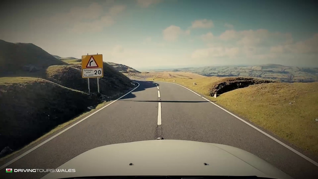
The best single drive in Bannau Brycheiniog (Brecon Beacons) is the Black Mountain Pass, 12.5 miles of the A4069 between Llangadog and Brynamman with a 494 m summit. The highest is the Gospel Pass at 551 m, single track and far slower. Between them sit the B4560 over Llangynidr Mountain, the fast A470 and A4059, and the quiet road by Talybont. We would base ourselves in Brecon, where the A470 and A4059 routes both end.
| Road | Class | Length | Time | Summit |
|---|---|---|---|---|
| The Black Mountain Pass ‘Top Gear Road’ (A4069) | Driving road | 12.5 mi | 25 min | 494 m |
| The Gospel Pass, Bwlch yr Efengyl | Scenic road | 24.8 mi | 50 min | 551 m |
| The B4560 over Llangynidr Mountain | Driving road | 8.3 mi | 15 min | 518 m |
| Over the Beacons on the A470 | Driving road | 19.6 mi | 40 min | 440 m |
| Talybont and the Neuadd valley | Scenic road | 11.8 mi | 25 min | 440 m |
| The A4059 ‘RS Country’ | Driving road | 17.1 mi | 35 min | 450 m |
| The Rhigos and the Bwlch | Driving road | 22.6 mi | 45 min | 530 m |
The name, and how to say it
The park took the Welsh name officially in April 2023, on the 66th anniversary of its designation. It translates as the peaks of Brychan’s kingdom, after a legendary fifth-century king of the Brecon area. Wales.com gives the pronunciation as ban-aye bruch-ay-nee-og, and the short form is the Bannau. Plenty of people still say the Beacons, and so do some of our road names.
Black Mountain Pass
The A4069 is the road most drivers come for. It climbs the escarpment above Upper Brynamman in big sweeping bends and crosses the open top past the old quarries, before dropping gently through farmland to Llangadog. The famous hairpin, Tro Gwcw, is named by the RAC, along with its 40 mph limit and average speed cameras. Our figures measure the Brynamman to Llangadog section only, which is why other sites quote longer distances for the wider A4069.
We would drive it north to south, as Visit Wales suggests, for the drop down the escarpment. The top is unfenced, with sheep, ponies and cattle on the road, and mist comes in quickly. Carreg Cennen Castle is a short detour to the west, and Y Castell in Llangadog holds 2 AA Rosettes.
Gospel Pass
The Gospel Pass runs 24.8 miles from Hay-on-Wye to Abergavenny through the Black Mountains. It is the highest road on our list, summit 551 m on our measurements, and you will also see it quoted at about 549 m. This is a different kind of drive: single track with passing places, climbing below Hay Bluff, then dropping through the Vale of Ewyas past Capel-y-ffin and Llanthony Priory. We class it as a Scenic road, so it is not for low, stiff cars. It is unsuitable for caravans and large vehicles, and often closed or impassable in snow. Summer weekends are busy, so we would go midweek.
B4560 over Llangynidr
Our B4560 route runs 8.3 miles from Llangynidr in the Usk valley to Beaufort on the Heads of the Valleys road, with a summit of 518 m. Boundless singles out about six miles of it from Garnlydan and warns of heavy use by enthusiasts on weekend mornings, which matches our page. The hairpins are tight, so take them steady. The moorland section is open, and the views are long.
From the south, the Tumble from Govilon to Blaenavon, 3.1 miles and 482 m, makes a short, steep starter. Gliffaes is the hotel down in the valley at Crickhowell.
A470 and Talybont
The A470 from Merthyr Tydfil to Brecon is 19.6 miles of fast, wide trunk road over the pass at Storey Arms, 440 m, with Pen y Fan above you. It suits any car, and it is the road for the Beacons in bad weather. Our page warns of average and mobile speed cameras, and of Pont ar Daf and Storey Arms car parks filling very early at weekends.
Talybont and the Neuadd valley is the opposite, 11.8 miles, also topping out at 440 m. It leaves the canal at Talybont-on-Usk, follows the reservoir and climbs through forest to Torpantau, then falls to Pontsticill. It is narrow, with passing places, and shared with cyclists on the Taff Trail. Make it a loop from Brecon: the A470 south to Merthyr Tydfil, across to Pontsticill and back north by Talybont, with a stop at the canalside café.
A4059 and the Rhigos
The A4059, Brecon to Penderyn, 17.1 miles and 450 m, has long sight lines and open corners, and drivers know it as RS Country. National speed limit applies across most of the moor, with sheep and horses a real hazard. It leads straight on to the Rhigos and the Bwlch, on the high ground south of the park: 22.6 miles, 530 m, and hairpins down to Treherbert. The Pits at Hirwaun is the stop between them. The Cambrian Way runs both on its last day, and they are also on the line of the Tour de France stage on 4 July 2027, so avoid that Sunday.
Further west, the A4067 by Cray links Sennybridge to Ystradgynlais, which is the natural way across to the Black Mountain Pass from Brecon. For a full day of these roads with stops already picked, Aber to Aber starts at Abergavenny. Our seven-day itinerary takes in the A4069 and the Gospel Pass.
Where to stay
Brecon for the central roads. The Plough at Rhosmaen or The Cawdor in Llandeilo for the Black Mountain. Abergavenny or Hay-on-Wye for the Gospel Pass, depending on which end you start.
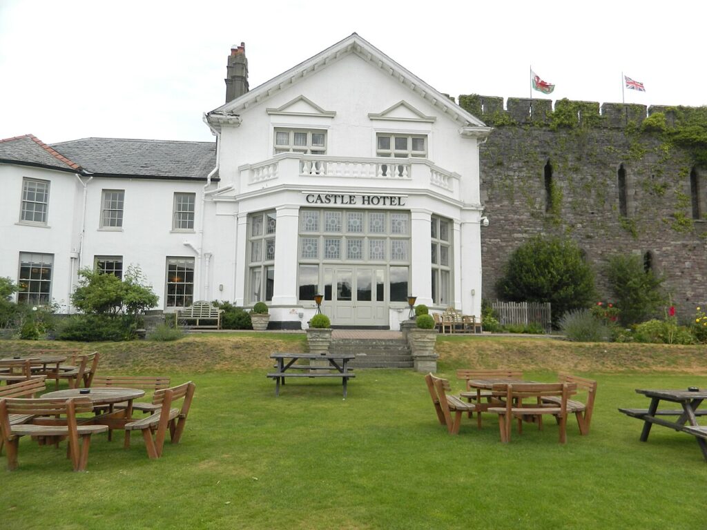
Castle of Brecon Hotel
A coaching hotel built from 1809 into the remains of Brecon's Norman castle, above the Usk, with 43…
Check rates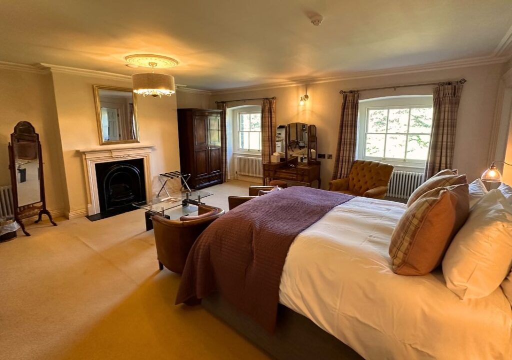
Peterstone Court Country House & Spa
A Grade II* listed Georgian house of 1741 at Llanhamlach, east of Brecon, now a twelve-room restaurant with…
Check rates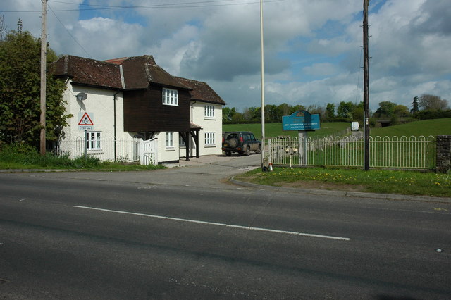
Sant Ffraed House
The former Llansantffraed Court Hotel near Abergavenny, a Grade II listed country house in 14 acres with views…
Check ratesThe Swan at Hay and the Angel in Abergavenny are the four-star picks at either end of the Gospel Pass. Llangoed Hall at Llyswen sits to the north. For dinner in the Brecon area, The Felin Fach Griffin and Three Horseshoes Inn at Groesffordd, 2 AA Rosettes, are the two we would book.
Dark skies from the car
The park became an International Dark Sky Reserve in 2013, the fifth in the world. The easy place to see it from a car is the Usk Reservoir Dark Sky Discovery Site in the west of the park, which has parking and a walk out on to the dam. Visit Wales rates it among the darkest and quietest spots in the park. High roads at night bring the same livestock as by day and none of the light, so we would go steady and take a coat. Our driving in Wales guide has the rest of the rules.
Last checked 5 November 2026.
Quick answers
- What is the most scenic drive in the Brecon Beacons?
- We would pick the Black Mountain Pass for the open views, and the Gospel Pass if you do not mind a slow single-track lane.
- What is the highest road in the Brecon Beacons?
- The Gospel Pass, at about 550 m. The B4560 reaches 518 m and the A4069 494 m on our measurements.
- Is the Black Mountain Pass open all year?
- It is a main A-road, but the top is exposed. Check the summit forecast on our page before you set off in winter, and turn back if it looks bad.
- How do you pronounce Bannau Brycheiniog?
- Roughly ban-aye bruch-ay-nee-og. Many locals shorten it to the Bannau.
- Can you drive through the Brecon Beacons in a low car?
- Yes. The A470, A4059 and A4069 are all well surfaced. Leave the Gospel Pass and the Talybont road for something taller.
- Are there speed cameras on the Black Mountain Pass?
- Yes. The RAC reports average speed cameras enforcing a 40 mph limit on the Brynamman to Llangadog stretch. The signs on the road are final.
Reviewed by Drive Tour Wales in November 2026. Conditions, limits and opening times change, so check before you travel.