
In this entry
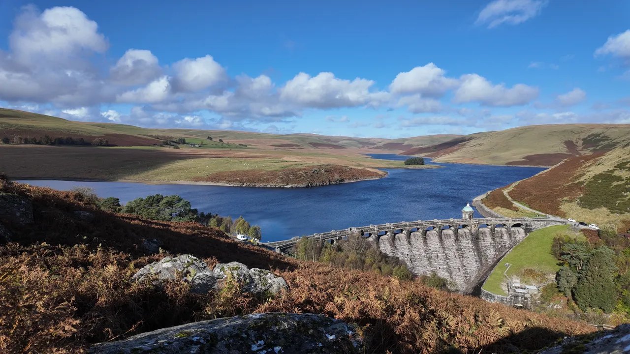
Wales takes its night sky seriously. Bannau Brycheiniog became the world’s fifth International Dark Sky Reserve in 2013, Eryri followed in 2015, and the Elan Valley Estate was named an International Dark Sky Park the same year. On a clear, moonless night in any of them you can see the Milky Way with the naked eye.
The best way to reach them is by car, so here are the roads that lead to the darkest places, and how to drive them safely after dark.
01The Elan Valley
The Elan Valley Dark Sky Park covers the reservoirs and the open hills west of Rhayader. The Elan Valley mountain road climbs onto the high ground towards Devil’s Bridge, with lay-bys looking out over nothing at all. The Abergwesyn Pass and the Cambrian Mountains loop by Llyn Brianne are just as dark.
| Road | Class | Length | Time | Summit |
|---|---|---|---|---|
| The Elan Valley and the mountain road | Scenic road | 25.8 mi | 50 min | 404 m |
| The Abergwesyn Pass and Devil’s Staircase | Scenic road | 19.1 mi | 40 min | 481 m |
| A Cambrian Mountains loop | Scenic road | 61.1 mi | 120 min | 481 m |
02Bannau Brycheiniog
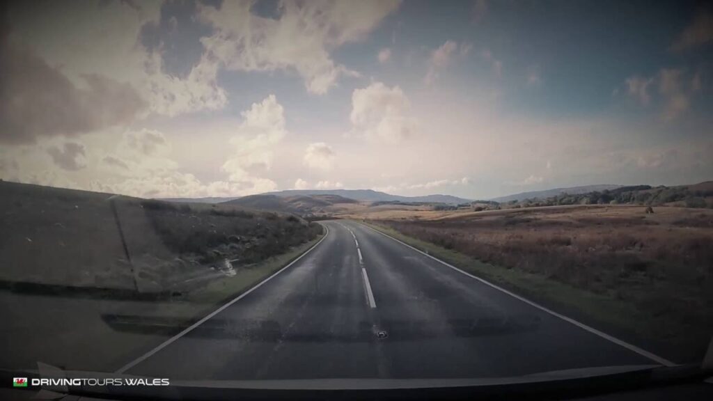
The western end of the park, around the Usk Reservoir and the Black Mountain, is the darkest part. The Black Mountain Pass has wide lay-bys near the top. The A4059 crosses open moor between Brecon and Penderyn.
| Road | Class | Length | Time | Summit |
|---|---|---|---|---|
| The Black Mountain Pass ‘Top Gear Road’ (A4069) | Driving road | 12.5 mi | 25 min | 494 m |
| The A4059 ‘RS Country’ | Driving road | 17.1 mi | 35 min | 450 m |
| The Cray and the upper Tawe | Driving road | 16.6 mi | 35 min | 381 m |
03Eryri
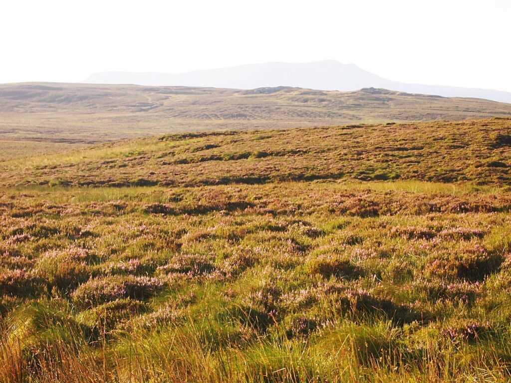
In Eryri, head for the moorland in the east of the park. The Migneint crosses some of the emptiest country in Wales, and Bwlch y Groes climbs above Bala. Both are a long way from any town light.
| Road | Class | Length | Time | Summit |
|---|---|---|---|---|
| The Migneint | Driving road | 19.6 mi | 40 min | 461 m |
| Bwlch y Groes (Hellfire Pass) | Scenic road | 18.3 mi | 35 min | 546 m |
| The B4391 over Milltir Gerrig | Driving road | 12.7 mi | 25 min | 486 m |
04Driving at night
- Drive the road in daylight first, so you know where the lay-bys and passing places are.
- Park fully off the road, in a proper lay-by or car park, never in a passing place.
- Sheep lie on the warm tarmac at night. Keep your speed right down on unfenced roads.
- Switch off your headlights once parked and give your eyes twenty minutes to adjust.
- It is colder on top than in the valley, often by several degrees. Take warm layers.
05When to go
Autumn and winter give the longest nights. Aim for the week either side of a new moon, and check the cloud forecast for the summit on each road page.
06Where to stay
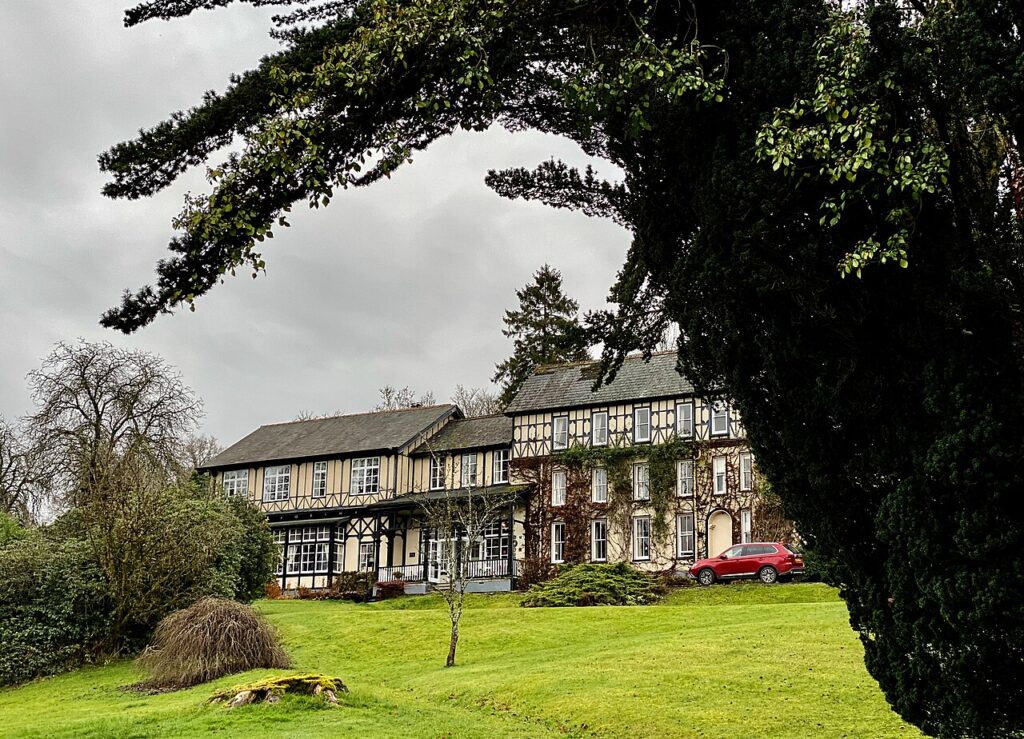
The Lake Country House & Spa
A country house hotel and spa in 50 acres at Llangammarch Wells, built in the 1840s as a…
Check rates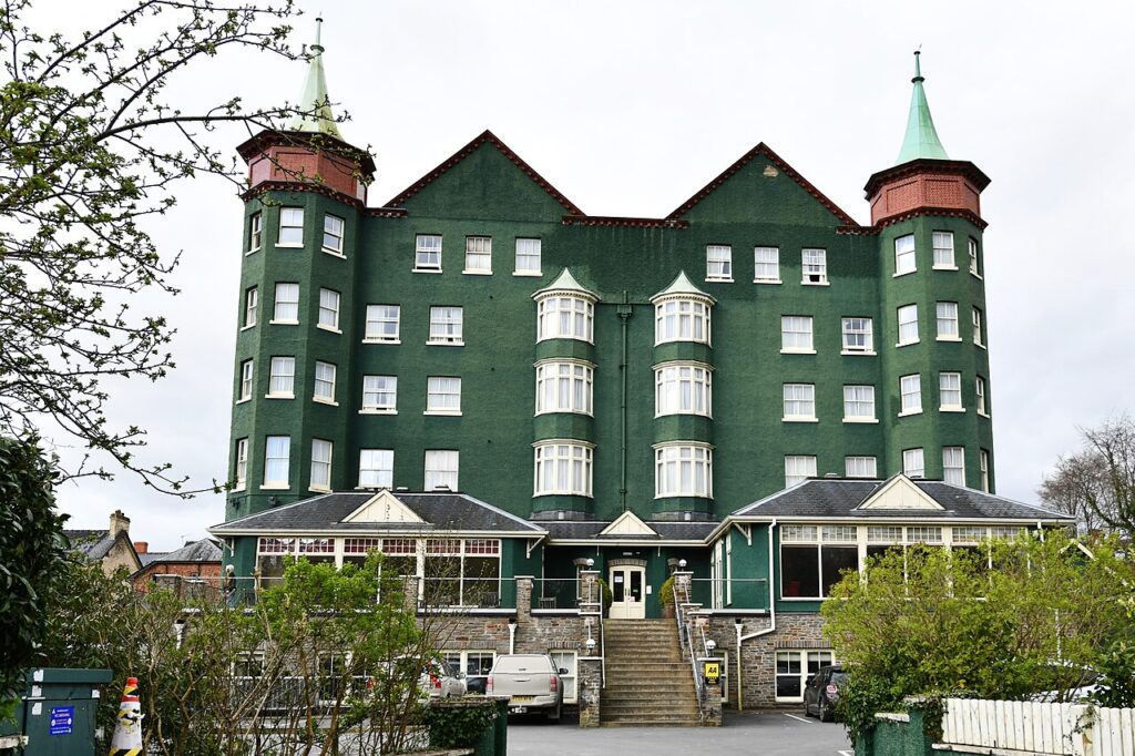
The Metropole Hotel & Spa
The big hotel of Llandrindod Wells, run by one family for 125 years until 2022, with 109 rooms,…
Check rates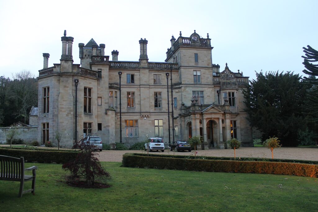
Palé Hall
A five-star Victorian country house hotel near Bala, built in 1869-71 for the railway engineer Henry Robertson, with…
Check rates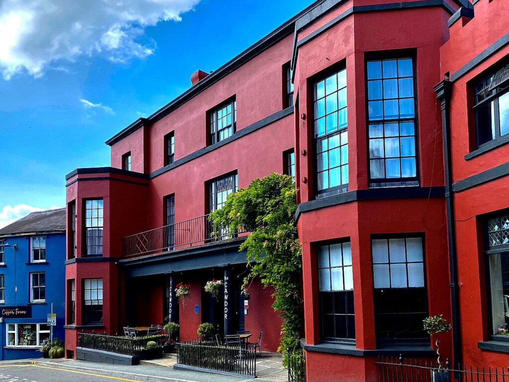

The Cawdor
A Grade II listed coaching inn of around 1845 in the centre of Llandeilo, now a four-star boutique…
Check rates07Quick answers
- Where is the best place to stargaze in Wales?
- The Elan Valley Dark Sky Park, the western Bannau Brycheiniog around the Usk Reservoir and the Black Mountain, and the moorland of eastern Eryri.
- How many dark sky reserves are there in Wales?
- Two International Dark Sky Reserves, Bannau Brycheiniog and Eryri, plus the Elan Valley International Dark Sky Park.
- When is the best time for stargazing in Wales?
- Autumn and winter, on clear nights near a new moon.
Reviewed by Drive Tour Wales in November 2026. Conditions, limits and opening times change, so check before you travel.