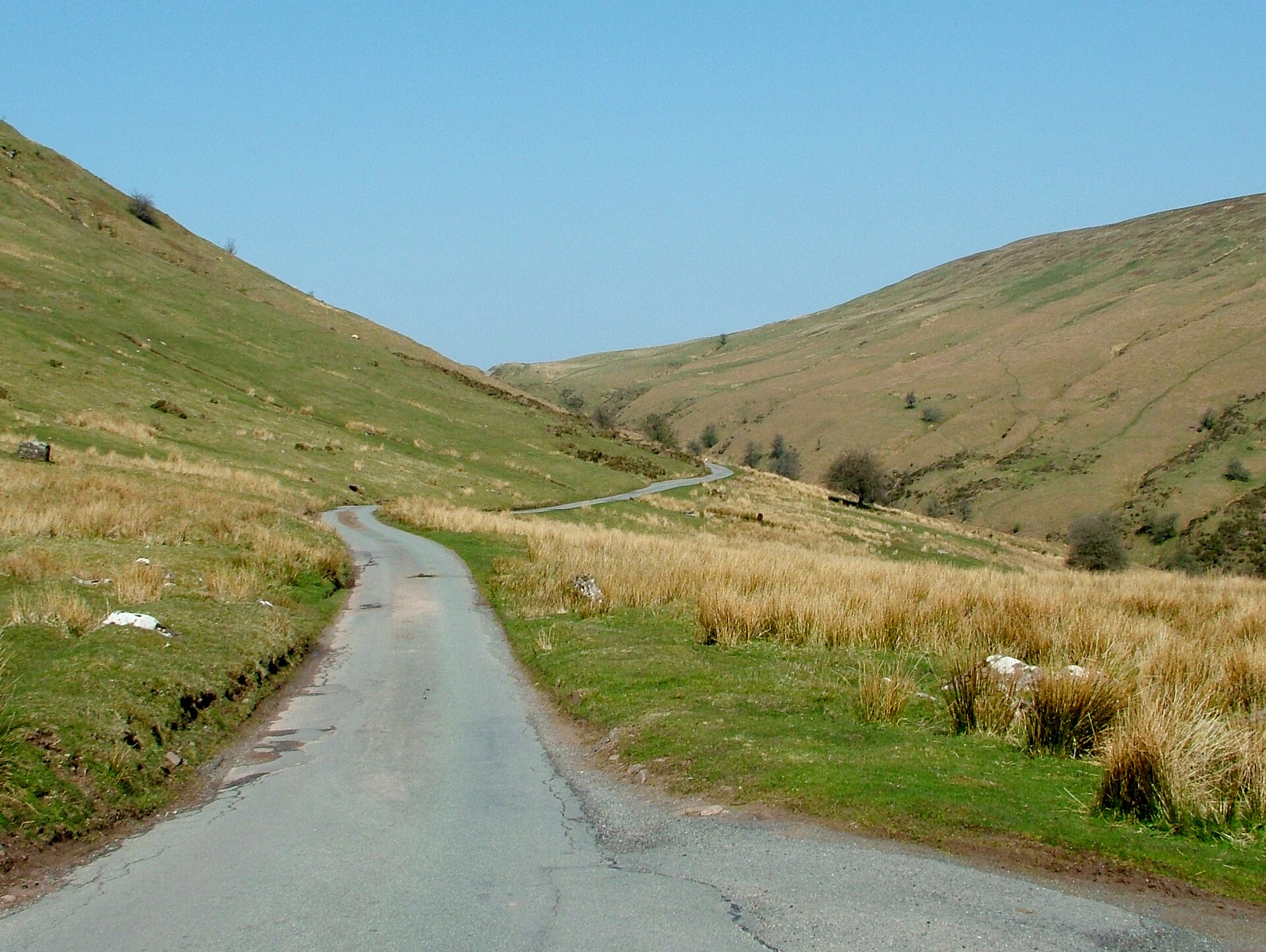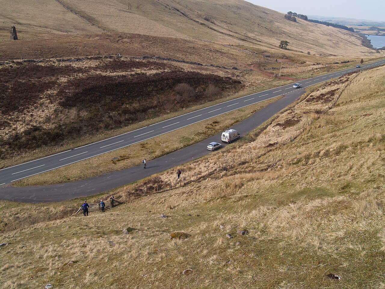
Lay by A4067 - geograph.org.uk - 1802373

Routes / South Wales

The Cray and the upper Tawe

Driving road A4067 Sennybridge to Ystradgynlais

Distance16.6mi
Drive time35min
Summit381m
Total climb320m
Limits30–60mph
RegionSouth

Driving road Built for driving: well surfaced and rewarding behind the wheel.

The A4067 leaves the Usk valley near Sennybridge and climbs south across the open moorland of Fforest Fawr, then falls into the upper Tawe by Dan-yr-Ogof and Craig-y-Nos to Ystradgynlais. Our 16.6 mile line runs from Sennybridge to Ystradgynlais and tops out at 381 m, above Cray Reservoir.

This is one of the great fast roads of the Bannau Brycheiniog: wide, open and beautifully sighted across the moor, with the reservoir below and the Black Mountain to the west. Cray Reservoir was built between 1898 and 1908 by Swansea Corporation and still supplies water to Swansea and the Tawe valley. We would take it north to south, so the descent into the Tawe valley comes at the end.

That descent brings a run of quick bends and then the limestone country of Glyntawe, home to the Dan-yr-Ogof show caves. The cave system runs to about 17 km and was first explored by two local brothers in 1912. A 2005 Radio Times poll named it Britain’s greatest natural wonder. Craig-y-Nos Castle sits beside the road below. The opera singer Adelina Patti bought it in 1878, and her Victorian gardens are now a 40 acre country park run by the national park.

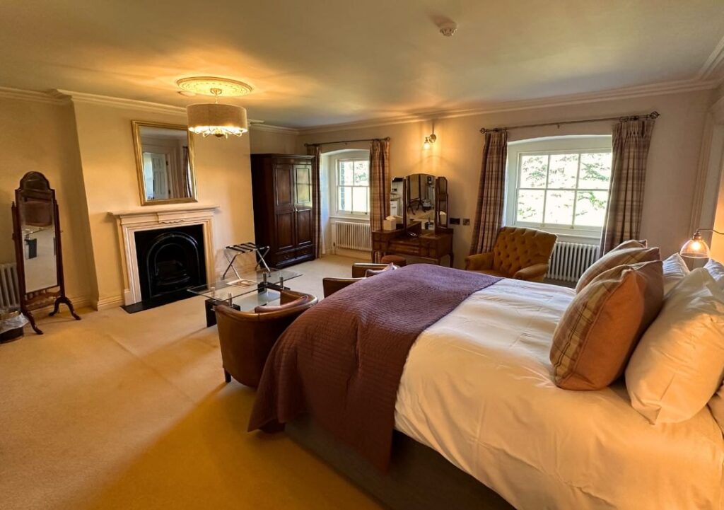
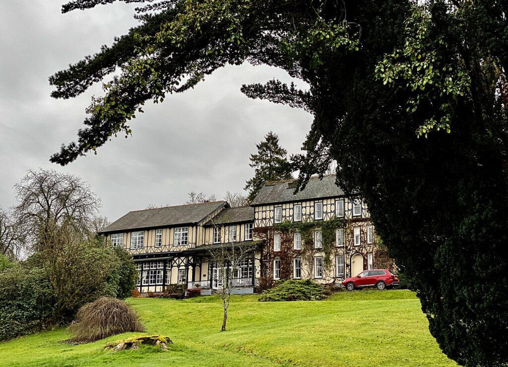
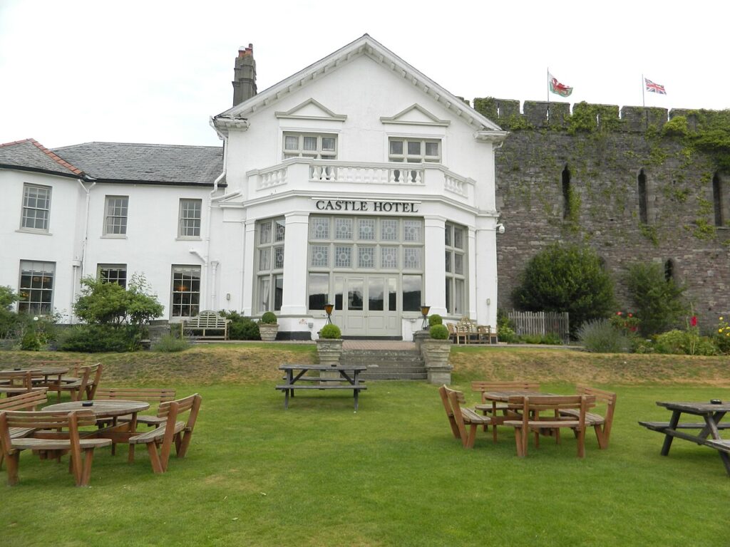
It links directly with the Black Mountain Pass and the A4059 for a full day in the national park: up the A4067, over the Black Mountain Pass and back by the A4059 is one of the best loops in the south. Stay in Brecon at the Castle of Brecon Hotel or just east of town at Peterstone Court, and lunch at The Castle Coaching Inn on the A40 near the Sennybridge end.

Good to know

  1. 01
    The high ground is exposed and often in cloud. Slow down when visibility drops.
  2. 02
    Livestock graze the unfenced moorland sections.
  3. 03
    Craig-y-Nos Country Park has pay and display parking and a café at the foot of the descent. Its own page gives the park as open from 9.30am to 4.30pm every day.
  4. 04
    The descent to Glyntawe tightens after the fast moorland section. Brake before the bends, not in them.
  5. 05
    The National Showcaves Centre is at Abercrave, SA9 1GJ. Check its own site for opening times before you go.

Photo: Lay by A4067 – geograph.org.uk – 1802373 by Chris McAuley, CC BY-SA 2.0
The climb

85 m to 381 m · summit at 6.7 mi
Start · 0 miFinish · 16.6 mi

Up top today

Forecast at the summit, 381 m · updated 04:21
Take care

Rain on the top

Drive it, but take the high section gently.

Now
Rain
Air
7°C
Wind
13mph SW
Road
Wet
Golden hour · This morning

07:16to08:36

Sunrise 07:46 · Likely lost in cloud
  1. Today Take care 6–8°C · wind to 17 mph · 6 mm rain · rain
  2. Tomorrow Give it a miss 3–8°C · wind to 8 mph · 4 mm rain · thick fog
  3. Friday Take care 5–5°C · wind to 12 mph · dry · thick fog

Forecast from MET Norway, refreshed hourly. Mountain weather turns fast: check before you set off.

The live map

Turns, cameras, viewpoints and stops along the road

Quick answers

How long is The Cray and the upper Tawe?
The Cray and the upper Tawe is 16.6 miles from Sennybridge to Ystradgynlais and takes about 35 minutes to drive without stopping.
How high does The Cray and the upper Tawe go?
It reaches 381 metres (1,250 feet) at its highest point, with 320 metres of climbing along the way.
What is the speed limit on The Cray and the upper Tawe?
Limits along the route are 30–60 mph. Always follow the signs on the road, as Welsh limits can change.
What kind of car suits The Cray and the upper Tawe?
We class it as a Driving road. Built for driving: well surfaced and rewarding behind the wheel.
Where should I stay near The Cray and the upper Tawe?
The graded hotels we would choose near this road are Castle of Brecon Hotel, Peterstone Court Country House & Spa and The Lake Country House & Spa.
Where does the A4067 go?
The A4067 runs south from the A40 near Sennybridge across Fforest Fawr, past Cray Reservoir and Dan-yr-Ogof, to Ystradgynlais and on towards Swansea.
How high does the A4067 go?
Our line tops out at 381 m on the moor above Cray Reservoir.
Who built Cray Reservoir?
Cray Reservoir was built between 1898 and 1908 by Swansea Corporation and still supplies water to Swansea.
Where can you stop on the A4067?
Craig-y-Nos Country Park has pay and display parking and a café, and the Dan-yr-Ogof show caves are just up the road at Glyntawe.

Read more about this road

The Logbook →

Graded hotels within easy reach of the road, the four and five stars first.

Stop along the way

All stops on the map →
Gospel Pass
Next road · South Wales

The Gospel Pass, Bwlch yr Efengyl

Hay-on-Wye to Abergavenny · 24.8 mi Drive it next →