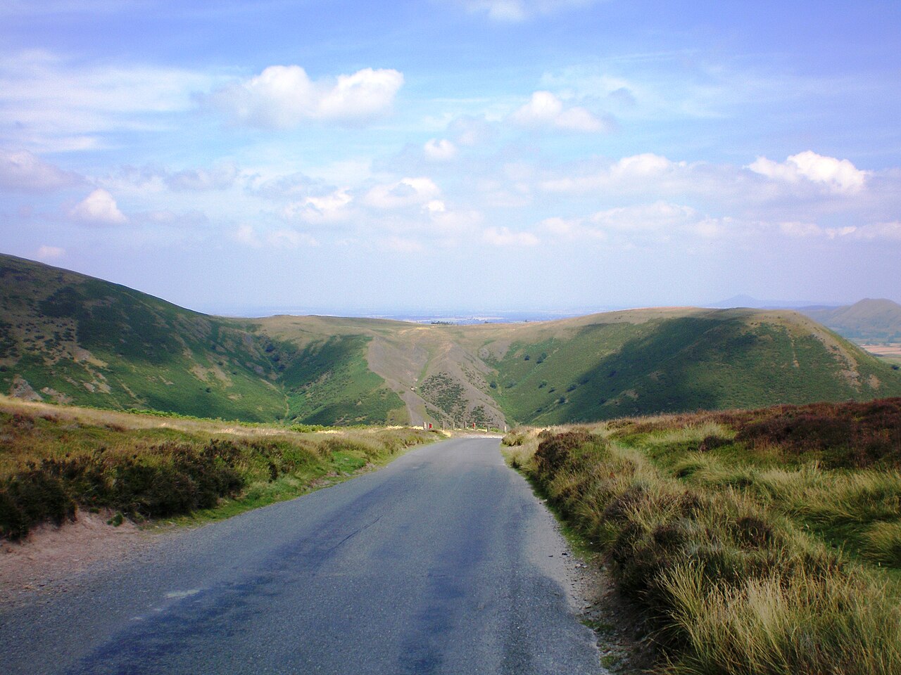
Carding Mill Valley - panoramio

Routes / Over the border

The Long Mynd

Scenic road Church Stretton to Ratlinghope by the Burway

Distance4.4mi
Drive time10min
Summit488m
Total climb311m
Limits50mph
RegionOver the border

Scenic road Slower, narrower and more scenic. Rough in places, so not the best for low, stiff performance cars.

The Burway leaves Church Stretton and climbs straight up the flank of the Long Mynd above Carding Mill Valley. On top it crosses the open heath close to Pole Bank, the highest point, before dropping to the hamlet of Ratlinghope.

This is a road for the views and the sense of exposure, not for pace. The Burway is narrow and steep with an unguarded edge falling away into the valley, and the reward at the top is a panorama over the Stretton hills to the Wrekin and, on clear days, the Welsh mountains. The plateau is National Trust land, open heath grazed by sheep and ponies. The descent towards Ratlinghope is gentler, through quiet farmland on the western side of the hill.

Good to know

  1. 01
    The Burway is single track with few passing places and unfenced drops; not suitable for low or wide cars.
  2. 02
    Livestock roam freely on the plateau, and the road is often closed or impassable in snow.
  3. 03
    Carding Mill Valley at the foot of the climb has National Trust parking and a tea room.

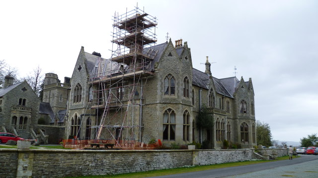
Photo: Carding Mill Valley – panoramio by Šarūnas, CC BY-SA 3.0
The climb

195 m to 488 m · summit at 1.9 mi
Start · 0 miFinish · 4.4 mi

Up top today

Forecast at the summit, 488 m · updated 04:22
Good day

Dry roads up top

A good day for it. Best between 07:00 and 11:00.

Now
Broken cloud
Air
4°C
Wind
10mph SW
Road
Dry
Golden hour · This morning

07:16to08:36

Sunrise 07:46 · Likely lost in cloud
  1. Today Good day 4–8°C · wind to 15 mph · dry · damp roads
  2. Tomorrow Take care 2–6°C · wind to 8 mph · dry · thick fog
  3. Friday Take care 3–4°C · wind to 12 mph · 1 mm rain · rain

Forecast from MET Norway, refreshed hourly. Mountain weather turns fast: check before you set off.

The live map

Turns, cameras, viewpoints and stops along the road

Quick answers

How long is The Long Mynd?
The Long Mynd is 4.4 miles from Church Stretton to Ratlinghope by the Burway and takes about 10 minutes to drive without stopping.
How high does The Long Mynd go?
It reaches 488 metres (1,601 feet) at its highest point, with 311 metres of climbing along the way.
What is the speed limit on The Long Mynd?
Limits along the route are 50 mph. Always follow the signs on the road, as Welsh limits can change.
What kind of car suits The Long Mynd?
We class it as a Scenic road. Slower, narrower and more scenic. Rough in places, so not the best for low, stiff performance cars.
Where should I stay near The Long Mynd?
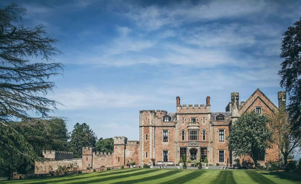
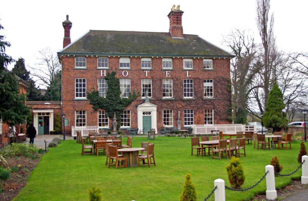
The graded hotels we would choose near this road are Mellington Hall Country House Hotel, Rowton Castle and The Mytton & Mermaid.

Read more about this road

The Logbook →

Graded hotels within easy reach of the road, the four and five stars first.

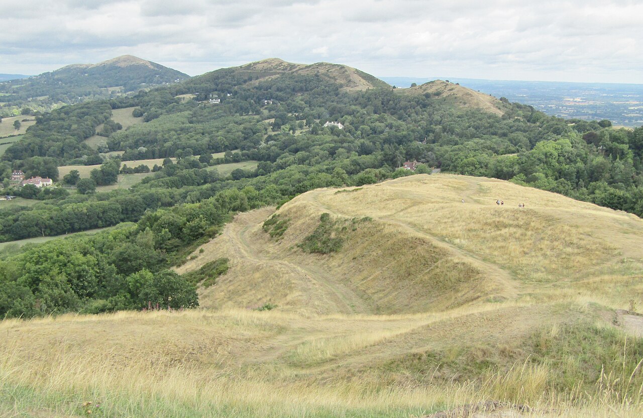
Herefordshire Beacon - British Camp - geograph.org.uk - 6657214
Next road · Over the border

The Malvern Hills

Great Malvern to Ledbury by British Camp · 8.0 mi Drive it next →