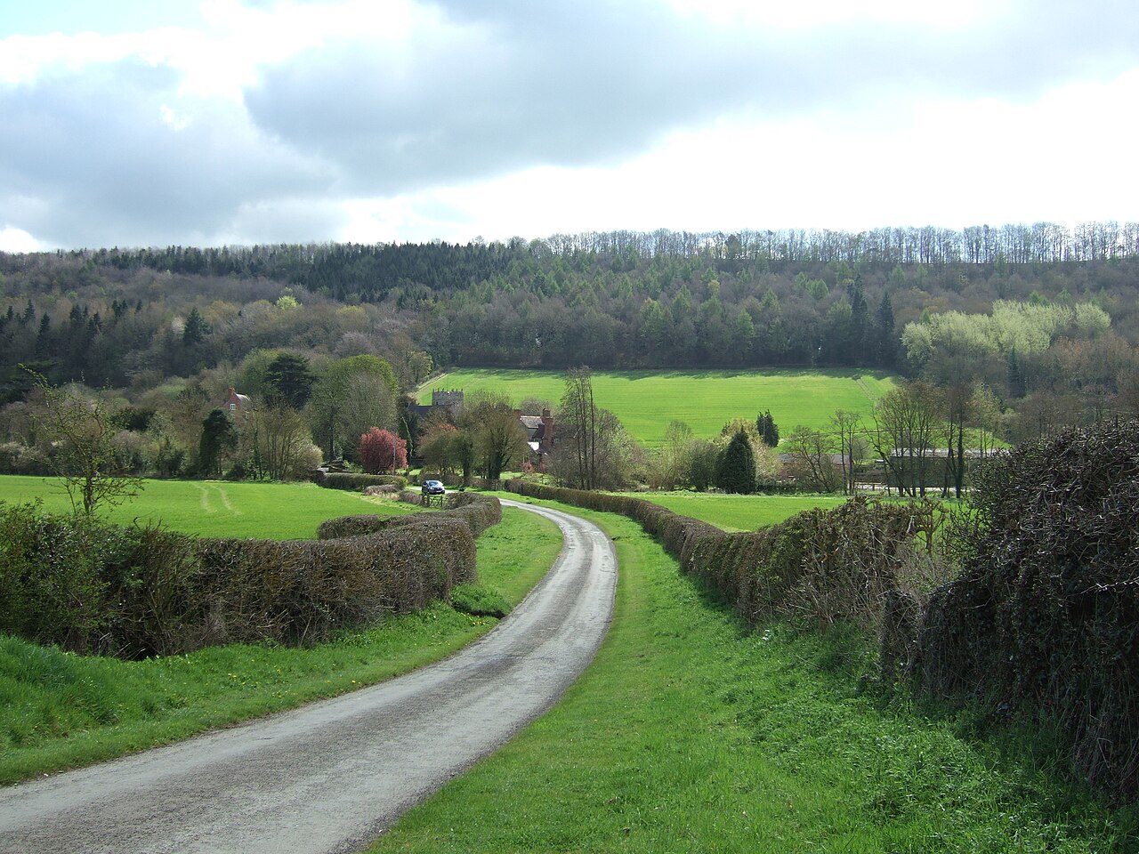
Eaton under Heywood 2012

Routes / Over the border

Wenlock Edge

Scenic road B4371 Church Stretton to Much Wenlock

Distance12.5mi
Drive time25min
Summit267m
Total climb297m
Limits30–50mph
RegionOver the border

Scenic road Slower, narrower and more scenic. Rough in places, so not the best for low, stiff performance cars.

The B4371 leaves Church Stretton past Hope Bowdler and crosses Ape Dale to the foot of Wenlock Edge. It then climbs and runs along the escarpment to Much Wenlock.

This is classic Shropshire driving: a well surfaced road with a fine flow of open bends, crests and short straights, quiet for most of the week. Wenlock Edge itself is a long wooded ridge of limestone, the subject of A. E. Housman's poem in A Shropshire Lad. The run along the top through Presthope gives glimpses west over the Stretton hills before the descent into Much Wenlock. The town is home to the Wenlock Olympian Games, founded by William Penny Brookes in 1850.

Good to know

  1. 01
    Crests hide farm entrances and slow vehicles, so keep something in reserve.
  2. 02
    National Trust car parks on the Edge give access to woodland walks and viewpoints.
  3. 03
    Much Wenlock has a compact centre with cafés, the priory ruins and limited parking.

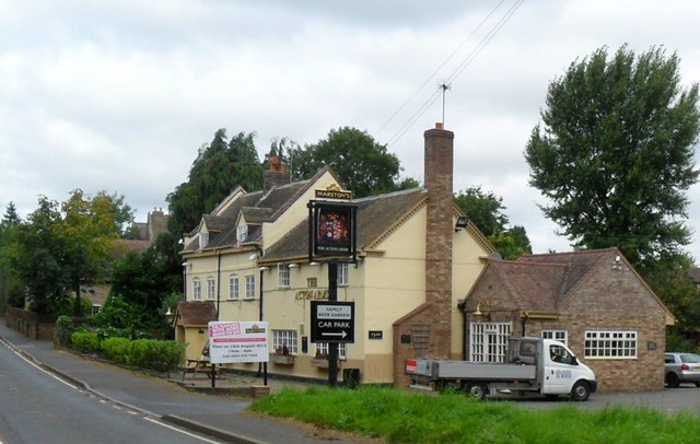
Photo: Eaton under Heywood 2012 by Dpaajones, CC BY-SA 3.0
The climb

167 m to 267 m · summit at 9.2 mi
Start · 0 miFinish · 12.5 mi

Up top today

Forecast at the summit, 267 m · updated 04:21
Take care

Damp roads on the top

Best between 07:00 and 11:00. Take the high section gently outside it.

Now
Broken cloud
Air
6°C
Wind
9mph SW
Road
Dry
Golden hour · This morning

07:14to08:36

Sunrise 07:46 · Mostly cloud, a chance of a gap
  1. Today Take care 5–10°C · wind to 14 mph · 1 mm rain · damp roads
  2. Tomorrow Take care 3–7°C · wind to 7 mph · dry · thick fog
  3. Friday Take care 4–6°C · wind to 11 mph · 2 mm rain · rain

Forecast from MET Norway, refreshed hourly. Mountain weather turns fast: check before you set off.

The live map

Turns, cameras, viewpoints and stops along the road

Quick answers

How long is Wenlock Edge?
Wenlock Edge is 12.5 miles from Church Stretton to Much Wenlock and takes about 25 minutes to drive without stopping.
How high does Wenlock Edge go?
It reaches 267 metres (876 feet) at its highest point, with 297 metres of climbing along the way.
What is the speed limit on Wenlock Edge?
Limits along the route are 30–50 mph. Always follow the signs on the road, as Welsh limits can change.
What kind of car suits Wenlock Edge?
We class it as a Scenic road. Slower, narrower and more scenic. Rough in places, so not the best for low, stiff performance cars.
Where should I stay near Wenlock Edge?
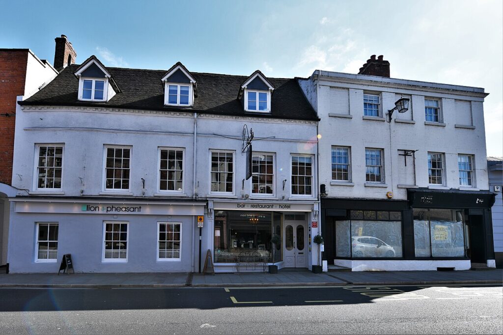
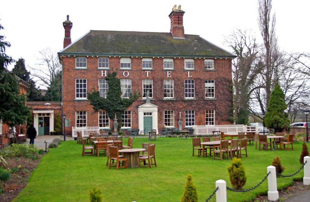
The graded hotels we would choose near this road are The Mytton & Mermaid, Fishmore Hall and Lion & Pheasant Hotel.

Read more about this road

The Logbook →

Graded hotels within easy reach of the road, the four and five stars first.

Stop along the way

All stops on the map →
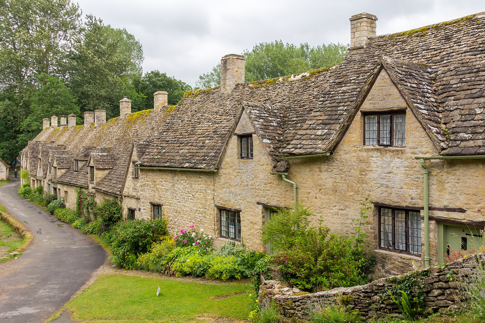
Bibury 2015 04
Next road · Cotswolds

A Cotswolds loop

Burford, Bibury and Bourton-on-the-Water · 25.9 mi Drive it next →