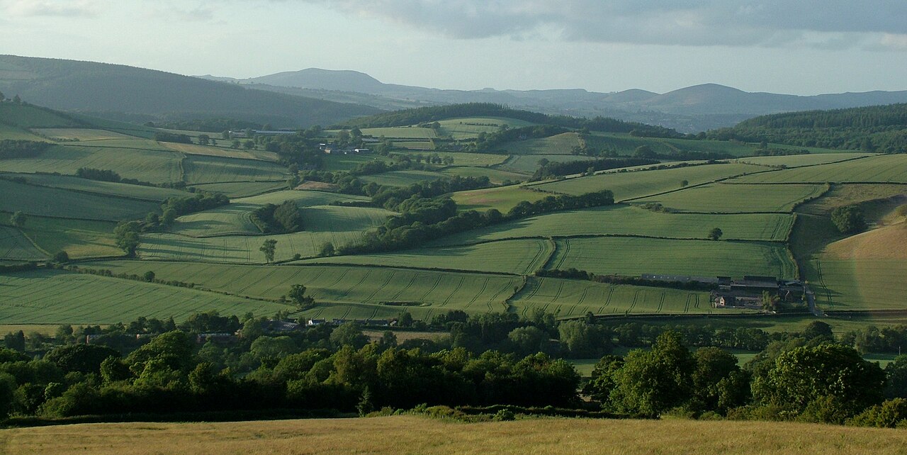
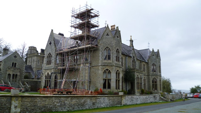
The Clun Valley to the East of Clun village - geograph.org.uk - 4552851

Routes / Over the border

The Clun valley

Scenic road A488 Knighton to Bishop’s Castle

Distance12.8mi
Drive time25min
Summit359m
Total climb457m
Limits30–50mph
RegionOver the border

Scenic road Slower, narrower and more scenic. Rough in places, so not the best for low, stiff performance cars.

The A488 leaves Knighton, home of the Offa's Dyke Centre, and climbs into the Clun Forest hills. It drops to Clun, with its Norman castle and medieval packhorse bridge, then crosses another ridge to Bishop's Castle.

This is the quiet heart of the Marches: big, rounded hills, few villages and a road that rises and falls with the land. The climb out of Knighton is lively, and the descent into Clun reveals the castle ruins on their mound above the river. North of Clun the road is faster, crossing open farmland with long views over the border. Bishop's Castle, a characterful small town with its own breweries, makes a fine finish.

Good to know

  1. 01
    The road is narrower than its A number suggests, with sharp, sometimes unmarked bends.
  2. 02
    Clun itself is tight, with narrow streets around the castle and the old bridge, so ease off through the village.
  3. 03
    Fuel is sparse in this corner of Shropshire; fill up in Knighton.

Photo: The Clun Valley to the East of Clun village – geograph.org.uk – 4552851 by Peter Evans, CC BY-SA 2.0
The climb

165 m to 359 m · summit at 5.4 mi
Start · 0 miFinish · 12.8 mi

Up top today

Forecast at the summit, 359 m · updated 04:21
Take care

Damp roads on the top

Best between 07:00 and 11:00. Take the high section gently outside it.

Now
Broken cloud
Air
7°C
Wind
12mph SW
Road
Dry
Golden hour · This morning

07:16to08:36

Sunrise 07:46 · Mostly cloud, a chance of a gap
  1. Today Take care 7–9°C · wind to 15 mph · 1 mm rain · damp roads
  2. Tomorrow Good day 4–7°C · wind to 9 mph · 1 mm rain · damp roads
  3. Friday Take care 4–6°C · wind to 11 mph · 1 mm rain · rain

Forecast from MET Norway, refreshed hourly. Mountain weather turns fast: check before you set off.

The live map

Turns, cameras, viewpoints and stops along the road

Quick answers

How long is The Clun valley?
The Clun valley is 12.8 miles from Knighton to Bishop’s Castle and takes about 25 minutes to drive without stopping.
How high does The Clun valley go?
It reaches 359 metres (1,178 feet) at its highest point, with 457 metres of climbing along the way.
What is the speed limit on The Clun valley?
Limits along the route are 30–50 mph. Always follow the signs on the road, as Welsh limits can change.
What kind of car suits The Clun valley?
We class it as a Scenic road. Slower, narrower and more scenic. Rough in places, so not the best for low, stiff performance cars.
Where should I stay near The Clun valley?
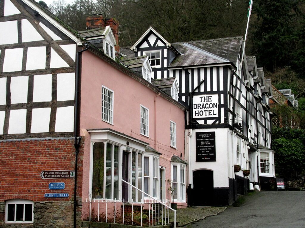
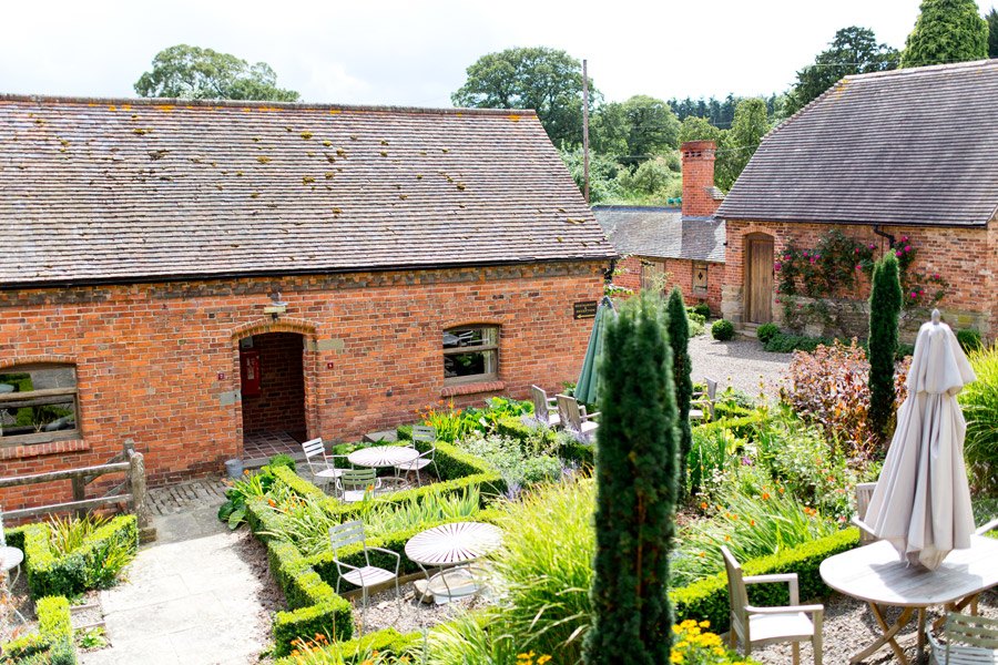
The graded hotels we would choose near this road are Mellington Hall Country House Hotel, Old Downton Lodge and The Dragon Hotel.

Read more about this road

The Logbook →

Graded hotels within easy reach of the road, the four and five stars first.

Stop along the way

All stops on the map →
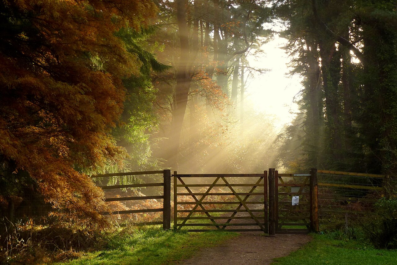
November morning, Forest of Dean, 4
Next road · Over the border

The Forest of Dean

Cinderford to Coleford by Speech House · 5.8 mi Drive it next →