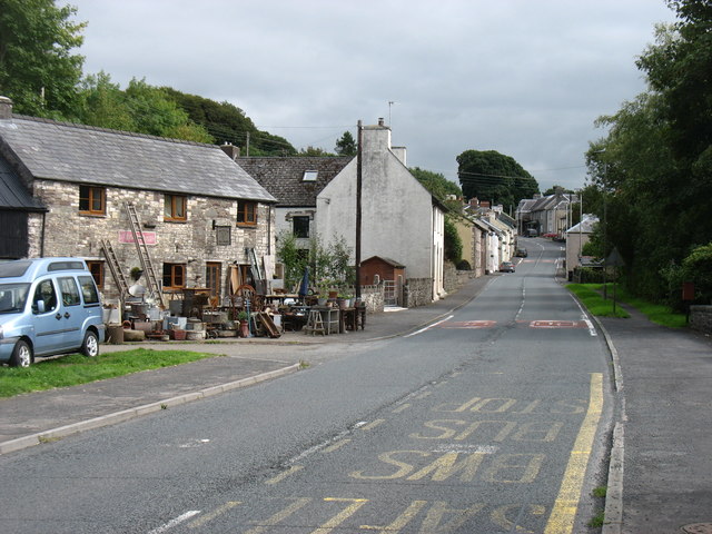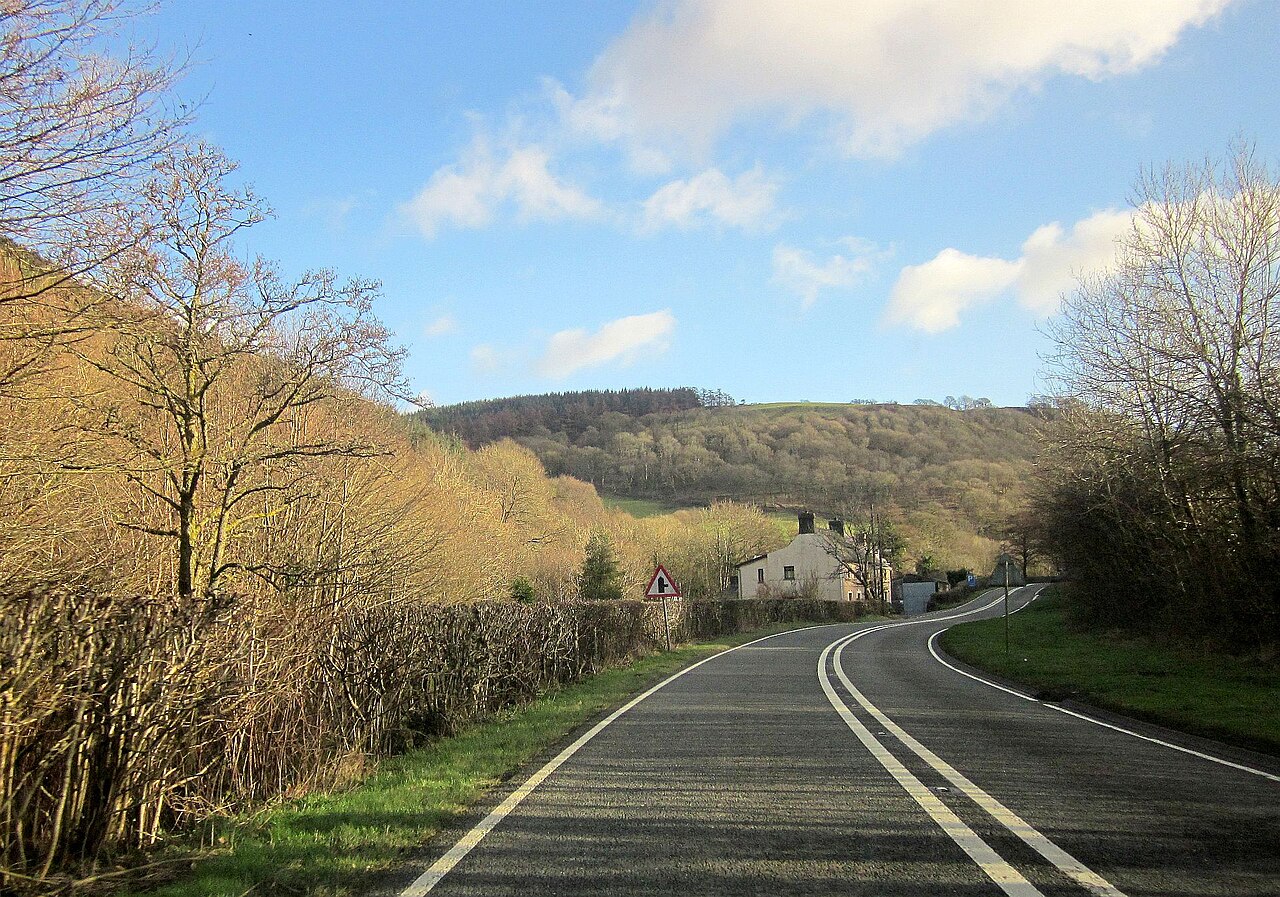
A 40 at Halfway - geograph.org.uk - 4306255

Routes / Mid Wales

The A40 through Cwm Gwydderig

Driving road A40 Trecastle to Llandovery

Distance7.7mi
Drive time15min
Summit231m
Total climb54m
Limits–mph
RegionMid

Driving road Built for driving: well surfaced and rewarding behind the wheel.

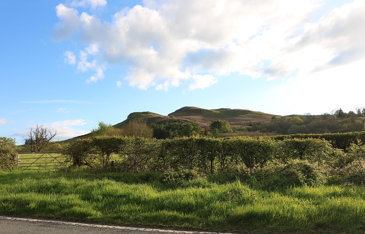
The A40 through Cwm Gwydderig is the old coaching road from Trecastle down to Llandovery, part of the London to Fishguard trunk road. West of Trecastle the road crosses its summit and drops into Cwm Gwydderig, a steep, wooded valley, passing the hamlet of Halfway on the way to the Tywi. Our 7.7 mile line tops out at 231 m. It is one of the most satisfying stretches of trunk road in mid Wales.

The descent is a long run of open, well sighted curves, the river below you and the hillsides closing in through Halfway. Beside the road, about 4 km east of Llandovery, stands the Mail Coach Pillar. It was put up in 1841 as a warning to coach drivers against drink, after the Gloucester and Carmarthen mail coach left the road here with a drunk driver at the reins and went over the edge. Nobody died, and the Grade II pillar still stands in its railings.

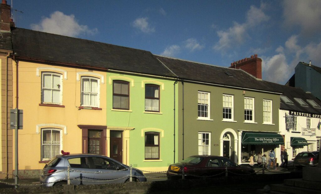
Below it the valley opens out into the Tywi. Llandovery, Llanymddyfri in Welsh, the church among the waters, has the ruin of its Norman castle and a 16-foot steel statue of Llywelyn ap Gruffydd Fychan beside it. The town was a droving centre too, and the Bank of the Black Ox was founded here by a cattle drover. We drive it west, downhill, which is when the valley is at its best.

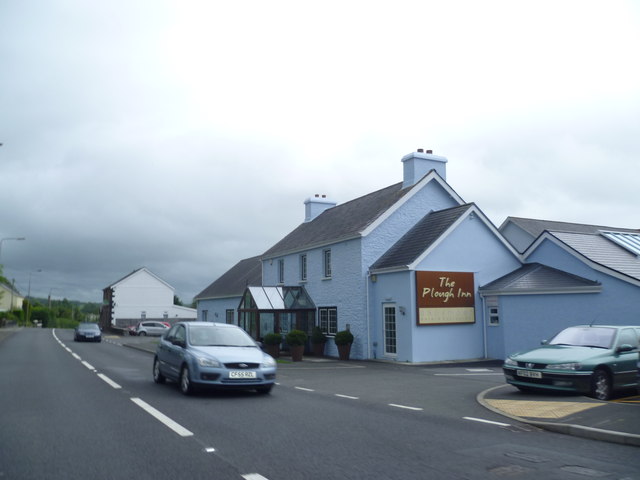
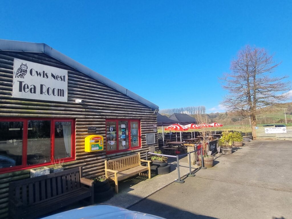
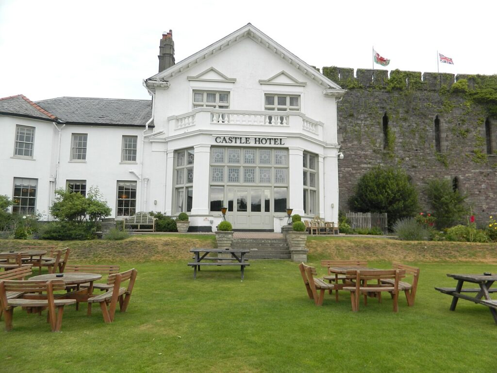
At the top, The Castle Coaching Inn in Trecastle is the old coaching stop. In Llandovery, the West End Café on Broad Street is a long-standing bikers’ café. Stay at the Castle of Brecon to the east or The Plough at Rhosmaen to the west. Close by, the range road over the Epynt climbs north from the A40 near Halfway.

Good to know

  1. 01
    The A40 is a trunk road with lorries on it. Pick your moment and enjoy the open sections rather than chasing gaps. Traffic Wales posts closures and roadworks.
  2. 02
    The Mail Coach Pillar has a small lay-by, easiest to reach heading west.
  3. 03
    From Llandovery, the A483 to Builth Wells or the A4069 over the Black Mountain both make a fine onward run.
  4. 04
    Llandovery is a built-up area, so expect the Welsh 20 mph default in the town streets.
  5. 05
    Our fuel map shows the forecourts at Llandovery and Brecon.

Photo: A 40 at Halfway – geograph.org.uk – 4306255 by Derek Harper, CC BY-SA 2.0
The climb

74 m to 231 m · summit at 0.0 mi
Start · 0 miFinish · 7.7 mi

Up top today

Forecast at the summit, 231 m · updated 04:07
Take care

Rain on the top

Drive it, but take the high section gently.

Now
Light rain
Air
7°C
Wind
13mph SW
Road
Wet
Golden hour · This morning

07:16to08:36

Sunrise 07:46 · Likely lost in cloud
  1. Today Take care 7–8°C · wind to 17 mph · 5 mm rain · rain
  2. Tomorrow Give it a miss 3–8°C · wind to 9 mph · 3 mm rain · thick fog
  3. Friday Good day 5–6°C · wind to 12 mph · dry

Forecast from MET Norway, refreshed hourly. Mountain weather turns fast: check before you set off.

The live map

Turns, cameras, viewpoints and stops along the road

Quick answers

How long is The A40 through Cwm Gwydderig?
The A40 through Cwm Gwydderig is 7.7 miles from Trecastle to Llandovery and takes about 15 minutes to drive without stopping.
How high does The A40 through Cwm Gwydderig go?
It reaches 231 metres (758 feet) at its highest point, with 54 metres of climbing along the way.
What kind of car suits The A40 through Cwm Gwydderig?
We class it as a Driving road. Built for driving: well surfaced and rewarding behind the wheel.
Where should I stay near The A40 through Cwm Gwydderig?
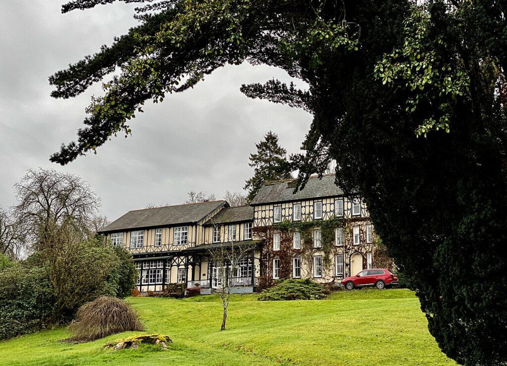
The graded hotels we would choose near this road are Castle of Brecon Hotel, The Plough, Rhosmaen and The Lake Country House & Spa.
What is the Mail Coach Pillar on the A40?
A Grade II listed stone pillar about 4 km east of Llandovery, put up in 1841 as a warning to coach drivers against drink after the Gloucester and Carmarthen mail coach went over the edge here. Nobody was killed.
Where is Cwm Gwydderig?
It is the steep, wooded valley the A40 follows west of Trecastle, down through Halfway to Llandovery and the Tywi.
How long does it take to drive the A40 from Trecastle to Llandovery?
Our 7.7 mile line takes about 15 minutes and tops out at 231 m.
What is the Welsh name for Llandovery?
Llanymddyfri, from the Welsh for the church enclosure among the waters, as the town sits where the Afon Brân meets the Tywi.

Read more about this road

The Logbook →

Graded hotels within easy reach of the road, the four and five stars first.

Stop along the way

All stops on the map →
Llandegley Rocks seen from the A44
Next road · Mid Wales

The A44 over Llandegley

Nant Melan to Crossgates · 7.8 mi Drive it next →