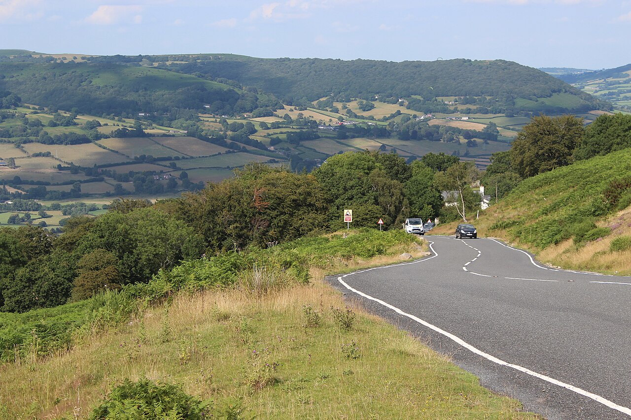
Unfenced B4246 descending to Govilon - geograph.org.uk - 6227735

Routes / South Wales

The Tumble

Driving road B4246 Govilon to Blaenavon

Distance3.1mi
Drive time10min
Summit482m
Total climb397m
Limits30–50mph
RegionSouth

Driving road Built for driving: well surfaced and rewarding behind the wheel.

The Tumble is the B4246 out of Govilon, known in Welsh as Y Tymbol, a short and steep climb up the western flank of the Blorenge, the hill that guards Abergavenny from the south. Our 3.1 mile line runs from Govilon to Blaenavon and tops out at 482 m beside Keeper’s Pond. The summit sign says 512 m, but the true height is 482 m.

The road winds up through woodland and the old Tumble landslip before breaking out onto open common, with the Usk valley and the Sugar Loaf spread out behind you. The climb is about 2.5 miles at an average gradient of 9 per cent, and it has been the final stage finish of the Junior Tour of Wales since 1989. The 2014 Tour of Britain finished a stage at the top. In a car it is short, steep and thoroughly absorbing. We would take it uphill, from Govilon, so the view opens out behind you as you climb.

At the top it levels out by Keeper’s Pond, also called Pen-ffordd-goch Pond, a good place to stop and take in the view, before running across the moor into Blaenavon. The town’s ironworks and Big Pit coal museum are part of the Blaenavon Industrial Landscape, a UNESCO World Heritage Site since 2000, and worth an hour if you have it. Big Pit was a working colliery until 1980 and reopened as a museum in 1983.

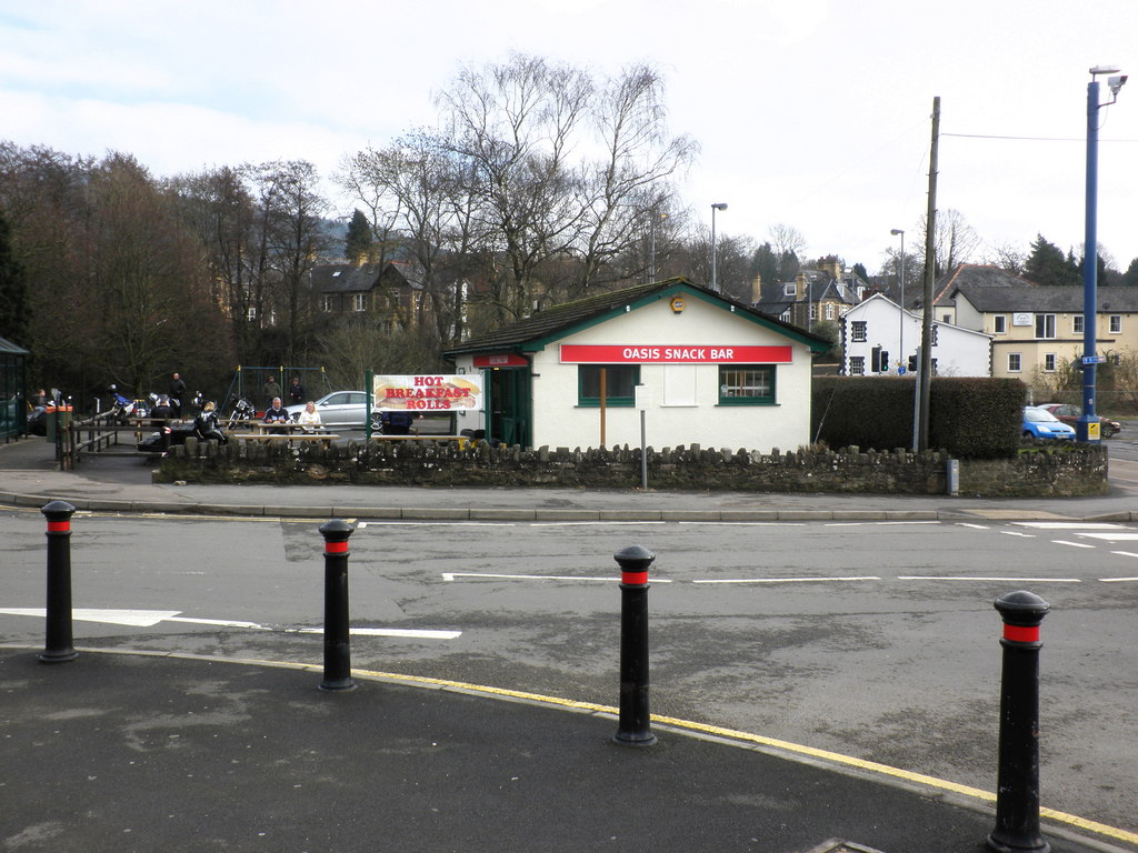
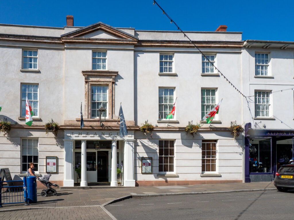
Stay at The Angel Hotel in Abergavenny, a former coaching inn whose dining room, The Oak Room, is the obvious dinner, or out of town at Sant Ffraed House. For a roadside snack before the climb there is Oasis on Monmouth Road. From Blaenavon, the B4560 over Llangynidr Mountain is the next mountain road to the west, and the Gospel Pass starts on the other side of Abergavenny.

Good to know

  1. 01
    The climb is popular with cyclists, especially on summer weekends. Give them plenty of room on the steep sections.
  2. 02
    Sheep and ponies roam the open common near the top. Slow down early.
  3. 03
    Keeper’s Pond has free parking and the best view on the route.
  4. 04
    The B4246 is a county road, not a trunk road, so closures come from Monmouthshire and Torfaen councils rather than Traffic Wales.
  5. 05
    Blaenavon Ironworks has stood since 1789, and its blast furnaces are a short drive from the top of the climb.

Photo: Unfenced B4246 descending to Govilon – geograph.org.uk – 6227735 by M J Roscoe, CC BY-SA 2.0
The climb

87 m to 482 m · summit at 3.0 mi
Start · 0 miFinish · 3.1 mi

Up top today

Forecast at the summit, 482 m · updated 04:07
Take care

Rain on the top

Drive it, but take the high section gently.

Now
Overcast
Air
6°C
Wind
11mph SW
Road
Dry
Golden hour · This morning

07:14to08:32

Sunrise 07:44 · Likely lost in cloud
  1. Today Take care 6–8°C · wind to 16 mph · 4 mm rain · rain
  2. Tomorrow Give it a miss 3–6°C · wind to 6 mph · 3 mm rain · thick fog
  3. Friday Take care 4–5°C · wind to 10 mph · dry · thick fog

Forecast from MET Norway, refreshed hourly. Mountain weather turns fast: check before you set off.

The live map

Turns, cameras, viewpoints and stops along the road

Quick answers

How long is The Tumble?
The Tumble is 3.1 miles from Govilon to Blaenavon and takes about 10 minutes to drive without stopping.
How high does The Tumble go?
It reaches 482 metres (1,581 feet) at its highest point, with 397 metres of climbing along the way.
What is the speed limit on The Tumble?
Limits along the route are 30–50 mph. Always follow the signs on the road, as Welsh limits can change.
What kind of car suits The Tumble?
We class it as a Driving road. Built for driving: well surfaced and rewarding behind the wheel.
Where should I stay near The Tumble?
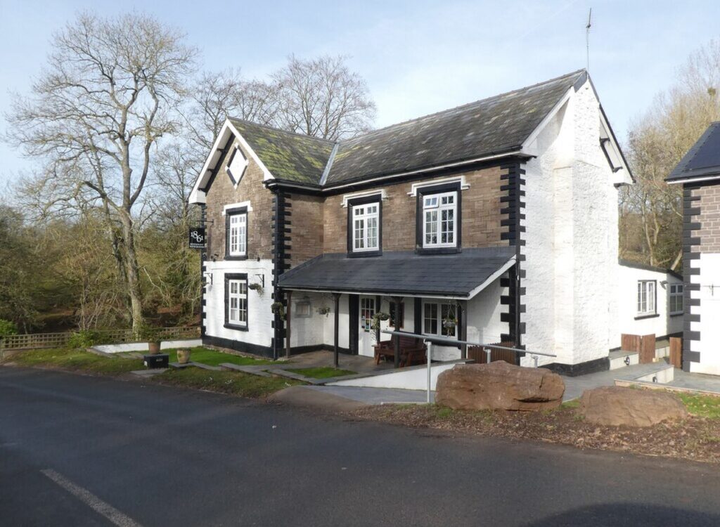
The graded hotels we would choose near this road are The Angel Hotel, Abergavenny, Sant Ffraed House and 1861 Restaurant with Rooms.
How long is the Tumble climb?
The Tumble climbs about 2.5 miles (4.1 km) from Govilon at an average gradient of 9 per cent. Our full line on to Blaenavon is 3.1 miles.
How high is the Tumble?
The road tops out at 482 m beside Keeper's Pond. The summit sign says 512 m, which is wrong.
What road number is the Tumble?
The Tumble is the B4246, which crosses the western edge of the Blorenge between Llanfoist and Blaenavon.
Where do you park at the top of the Tumble?
Keeper's Pond, also called Pen-ffordd-goch Pond, has free parking at the summit.

Read more about this road

The Logbook →

Graded hotels within easy reach of the road, the four and five stars first.

Stop along the way

All stops on the map →
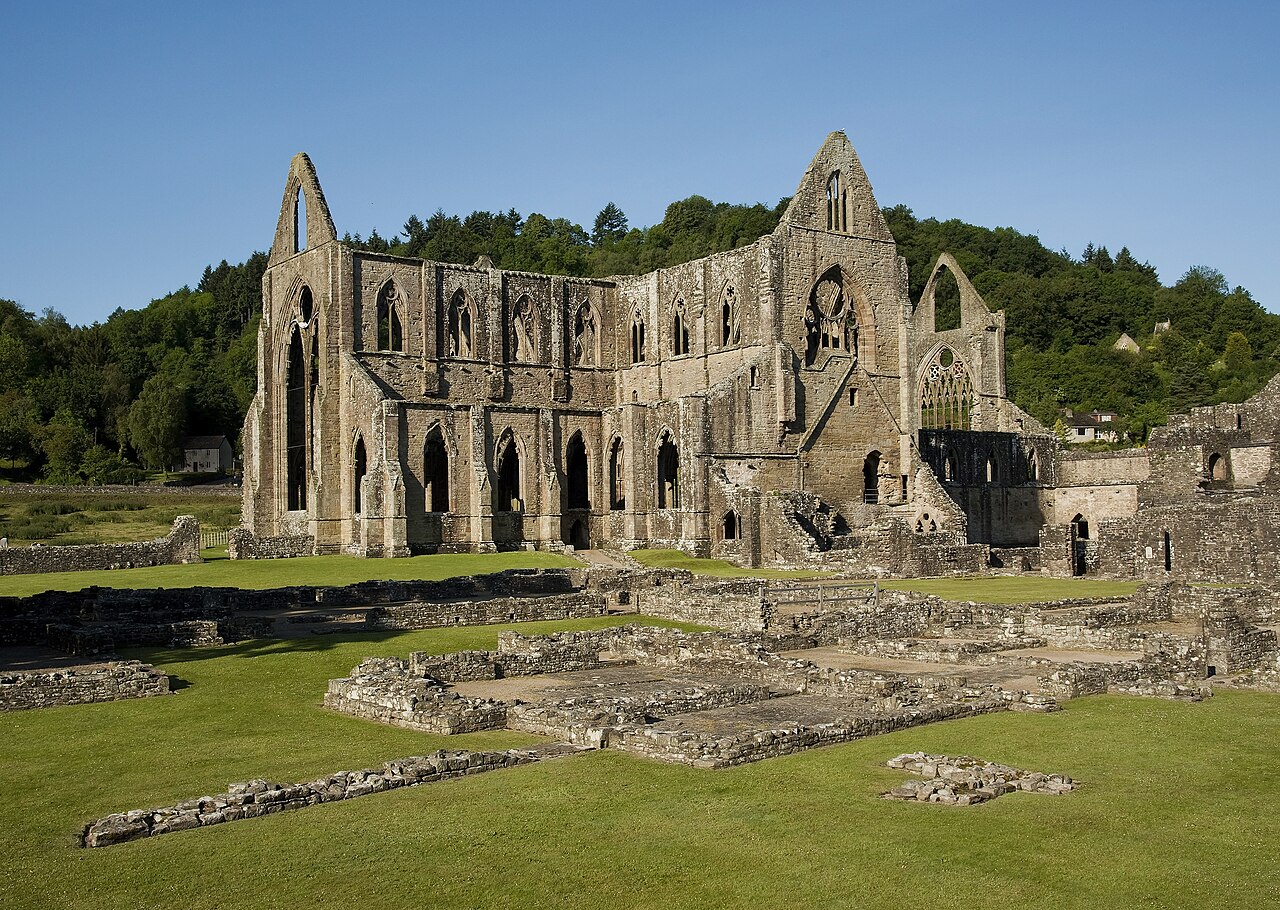
Tintern Abbey and Courtyard
Next road · South Wales

The Wye Valley

Chepstow to Monmouth by Tintern · 16.9 mi Drive it next →