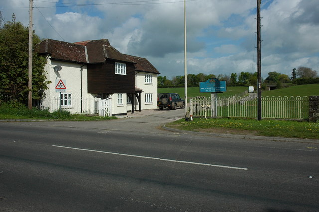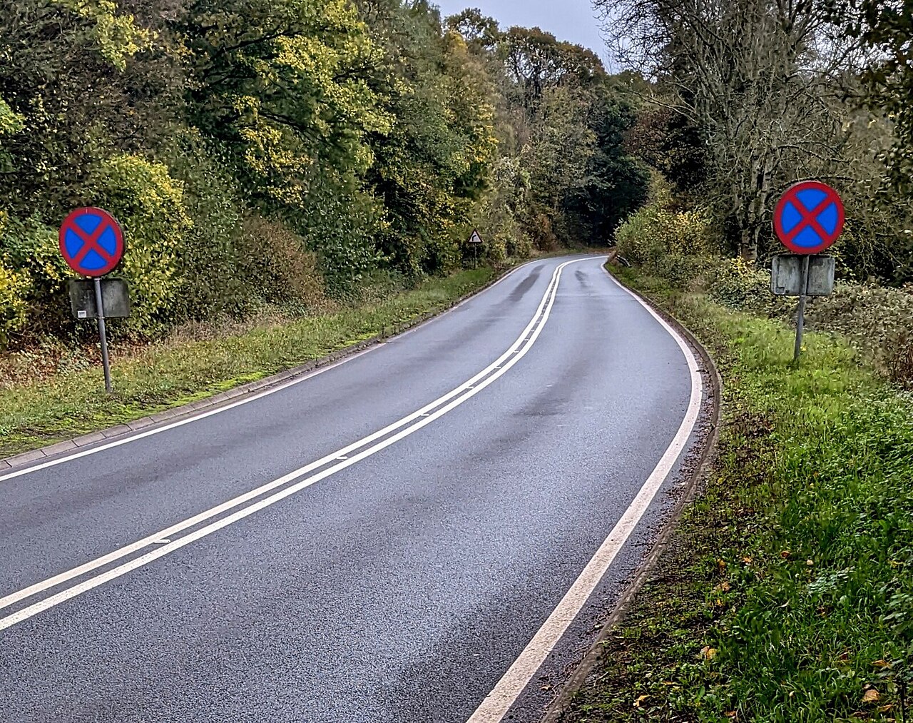
Clearway signs near Llangua, Monmouthshire - geograph.org.uk - 7326054

Routes / Over the border

The A465 below the Black Mountains

Driving road A465 Llanvihangel Crucorney to Pontrilas

Distance5.7mi
Drive time10min
Summit116m
Total climb45m
Limits–mph
RegionOver the border

Driving road Built for driving: well surfaced and rewarding behind the wheel.

North of Abergavenny the A465 runs up the valley between the Skirrid and the eastern wall of the Black Mountains, crossing from Wales into England just before Pontrilas. It is short, but it is a quick, flowing road with the mountains filling the windscreen.

From Llanvihangel Crucorney, home of the Skirrid Inn, which claims to be the oldest pub in Wales, the road sweeps on through Pandy with the Hatterrall ridge rising on your left. The bends are open and well sighted, and the traffic usually thins once Abergavenny is behind you. At Pontrilas you are on the edge of the Golden Valley, the obvious next drive.

Good to know

  1. 01
    It is a main road between Abergavenny and Hereford, so expect some farm traffic and lorries.
  2. 02
    The Llanthony road turns off at Llanvihangel Crucorney for a slower run up the Vale of Ewyas.
  3. 03
    Link it with the Golden Valley drive from Pontrilas for a longer border loop.
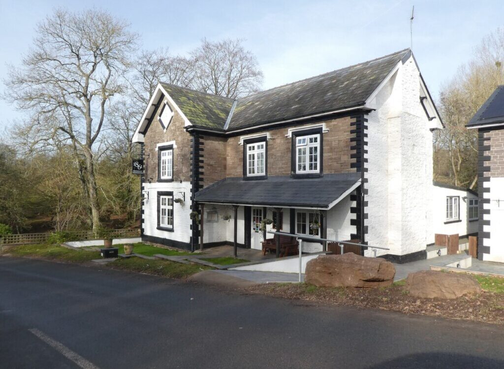
Photo: Clearway signs near Llangua, Monmouthshire – geograph.org.uk – 7326054 by Jaggery, CC BY-SA 2.0

The climb

66 m to 116 m · summit at 0.2 mi
Start · 0 miFinish · 5.7 mi

Up top today

Forecast at the summit, 116 m · updated 04:22
Take care

Rain on the top

Best between 15:00 and 17:00. Take the high section gently outside it.

Now
Overcast
Air
8°C
Wind
9mph SW
Road
Dry
Golden hour · This morning

07:14to08:32

Sunrise 07:44 · Likely lost in cloud
  1. Today Take care 8–10°C · wind to 16 mph · 3 mm rain · rain
  2. Tomorrow Take care 4–9°C · wind to 5 mph · 2 mm rain · thick fog
  3. Friday Take care 6–7°C · wind to 11 mph · dry · thick fog

Forecast from MET Norway, refreshed hourly. Mountain weather turns fast: check before you set off.

The live map

Turns, cameras, viewpoints and stops along the road

Quick answers

How long is The A465 below the Black Mountains?
The A465 below the Black Mountains is 5.7 miles from Llanvihangel Crucorney to Pontrilas and takes about 10 minutes to drive without stopping.
How high does The A465 below the Black Mountains go?
It reaches 116 metres (381 feet) at its highest point, with 45 metres of climbing along the way.
What kind of car suits The A465 below the Black Mountains?
We class it as a Driving road. Built for driving: well surfaced and rewarding behind the wheel.
Where should I stay near The A465 below the Black Mountains?
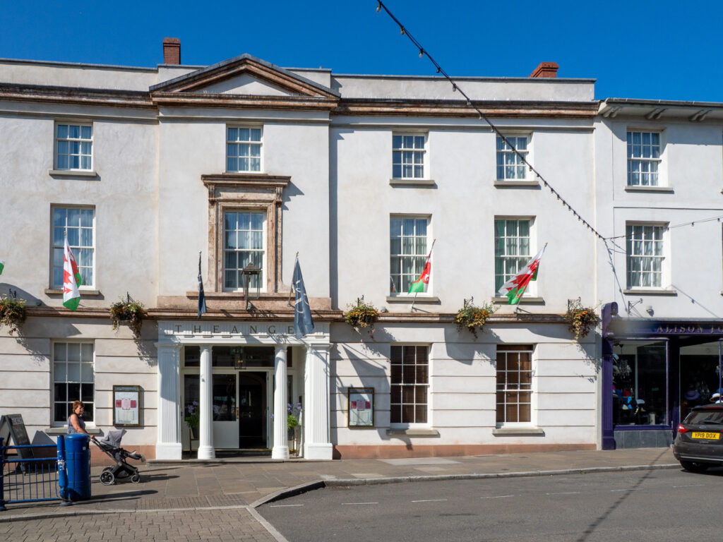
The graded hotels we would choose near this road are 1861 Restaurant with Rooms, The Angel Hotel, Abergavenny and Sant Ffraed House.

Read more about this road

The Logbook →

Graded hotels within easy reach of the road, the four and five stars first.

Stop along the way

All stops on the map →
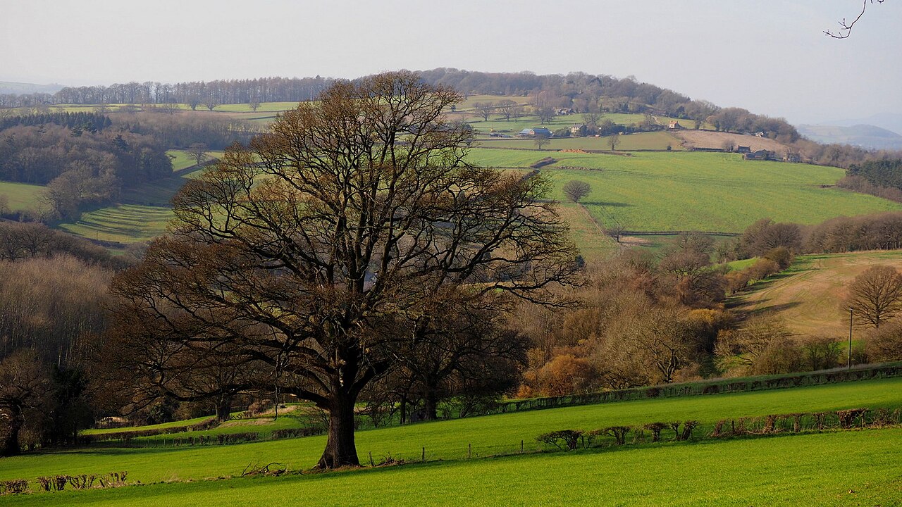
Oak tree and Herefordshire countryside - geograph.org.uk - 6066390
Next road · Over the border

The B4224 along the Wye

Hereford to Ross-on-Wye · 14.6 mi Drive it next →