Diddly Squat Farm Shop

Routes / Cotswolds

The Clarkson’s Farm loop

Scenic road Burford, Diddly Squat and Caffeine & Machine

Distance64.7mi
Drive time130min
Summit244m
Total climb1273m
Limits30–50mph
RegionCotswolds

Scenic road Slower, narrower and more scenic. Rough in places, so not the best for low, stiff performance cars.

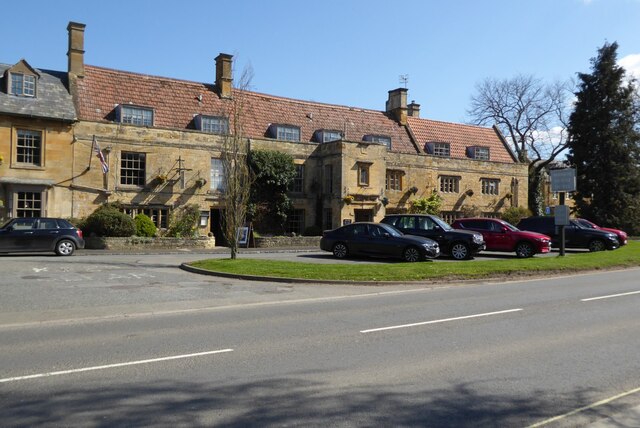
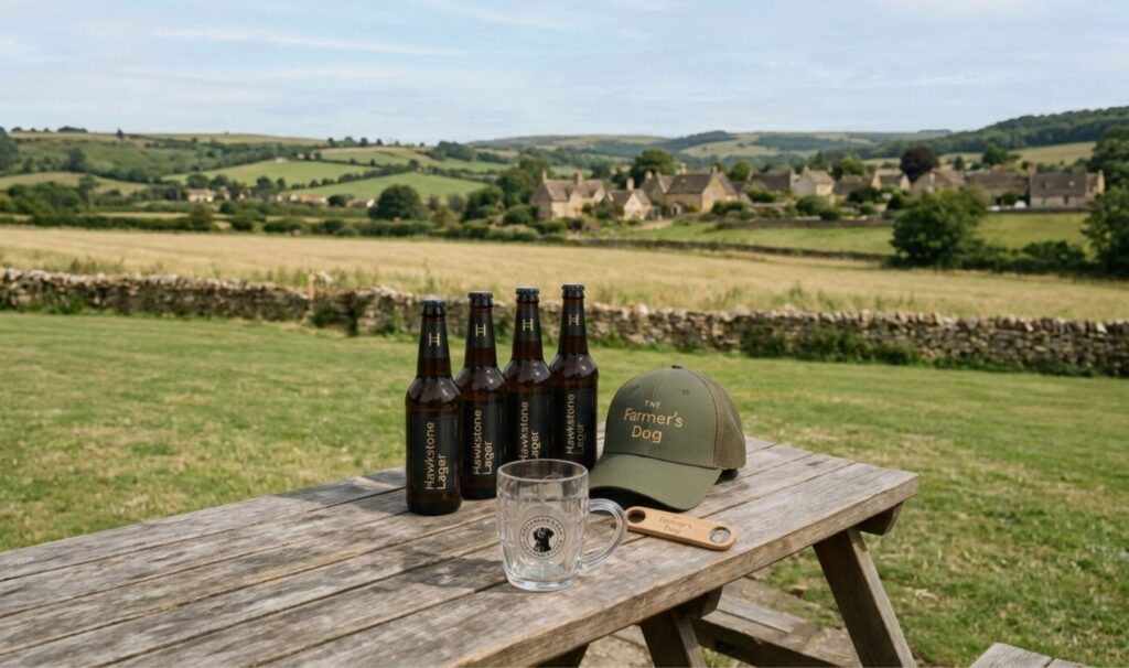
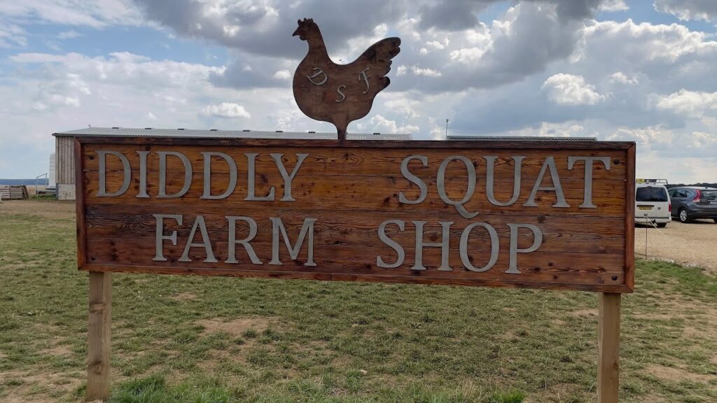
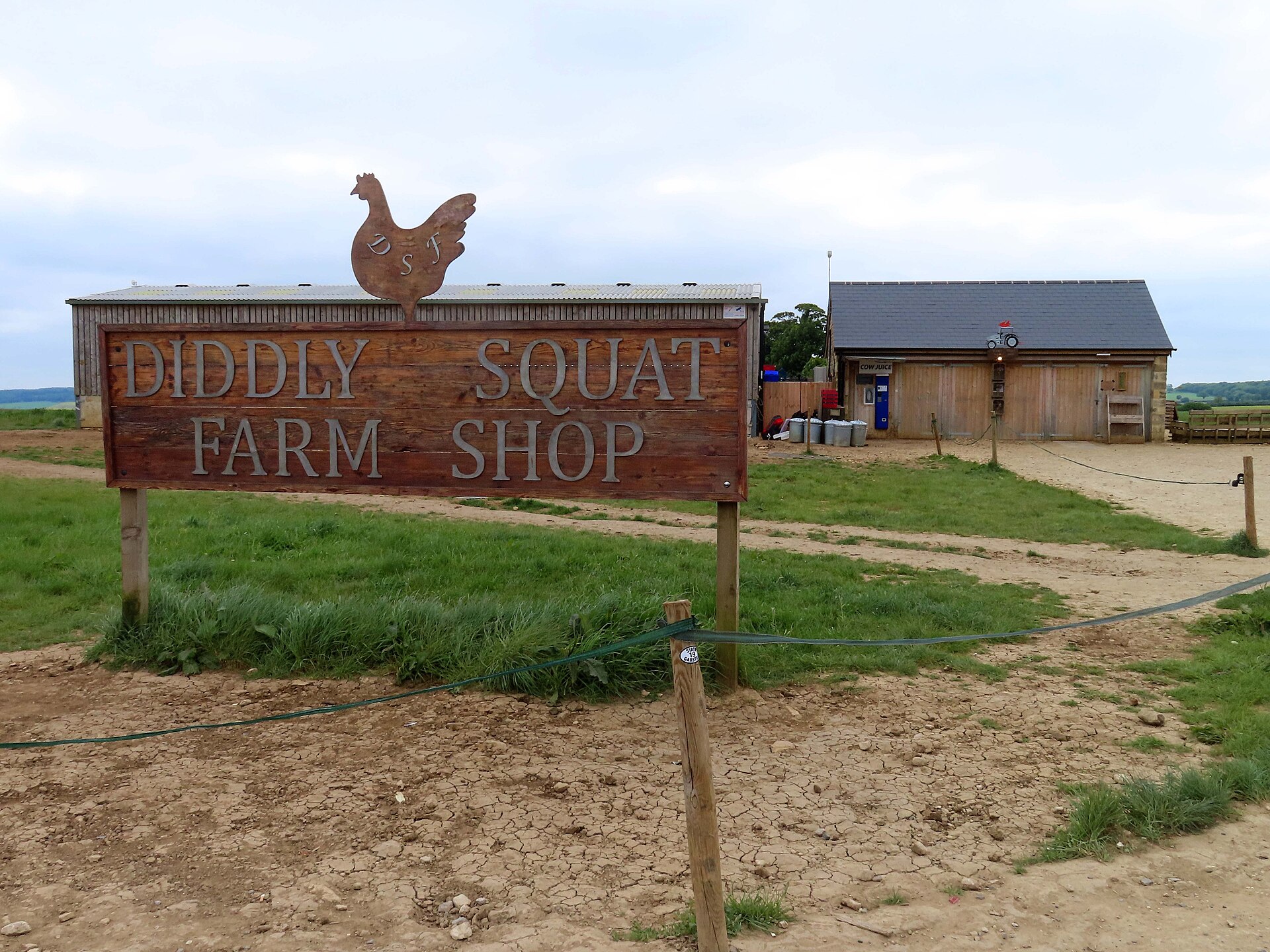
Start in Burford and head east along the A40 to The Farmer's Dog, Jeremy Clarkson's pub, then cut north across the wolds to Chadlington and the Diddly Squat Farm Shop. It's the countryside you've seen on Clarkson's Farm: rolling arable fields, stone walls and big skies.

From Chadlington the lanes run on through Kingham and Chipping Norton, then north on the A3400 and A422 to Caffeine & Machine near Ettington, the UK's best-known car and bike café, where the car park is half the fun. Come home south through Moreton-in-Marsh and Stow-on-the-Wold, back to Burford.

Good to know

  1. 01
    Diddly Squat is open on set days only and has long queues at weekends. Check before you go.
  2. 02
    The Farmer's Dog and Caffeine & Machine get very busy. Go early or midweek.
  3. 03
    Watch for tractors and farm traffic on the lanes, especially at harvest time.

Photo: Diddly Squat Farm Shop by Steve Daniels, CC BY-SA 2.0
The climb

53 m to 244 m · summit at 22.6 mi
Start · 0 miFinish · 64.7 mi

Up top today

Forecast at the summit, 244 m · updated 04:20
Take care

Damp roads on the top

Best between 07:00 and 11:00. Take the high section gently outside it.

Now
Broken cloud
Air
7°C
Wind
13mph SW
Road
Dry
Golden hour · This morning

07:08to08:28

Sunrise 07:38 · Broken cloud: could be spectacular
  1. Today Take care 7–10°C · wind to 17 mph · dry · damp roads
  2. Tomorrow Take care 4–9°C · wind to 5 mph · dry · damp roads
  3. Friday Good day 6–7°C · wind to 13 mph · dry · damp roads

Forecast from MET Norway, refreshed hourly. Mountain weather turns fast: check before you set off.

The live map

Turns, cameras, viewpoints and stops along the road

Quick answers

How long is The Clarkson’s Farm loop?
The Clarkson’s Farm loop is 64.7 miles and takes about 2 hours 10 minutes to drive without stopping.
How high does The Clarkson’s Farm loop go?
It reaches 244 metres (801 feet) at its highest point, with 1273 metres of climbing along the way.
What is the speed limit on The Clarkson’s Farm loop?
Limits along the route are 30–50 mph. Always follow the signs on the road, as Welsh limits can change.
What kind of car suits The Clarkson’s Farm loop?
We class it as a Scenic road. Slower, narrower and more scenic. Rough in places, so not the best for low, stiff performance cars.
Where should I stay near The Clarkson’s Farm loop?
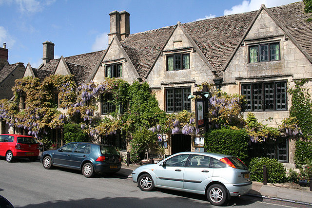
The graded hotels we would choose near this road are The Bull, Burford, Manor House Hotel and The Bay Tree Hotel.

Read more about this road

The Logbook →

Graded hotels within easy reach of the road, the four and five stars first.

Stop along the way

All stops on the map →
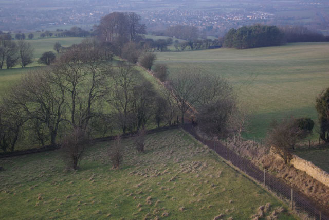
Looking down from Broadway Tower
Next road · Cotswolds

The Cotswold escarpment

Broadway to Castle Combe · 59.2 mi Drive it next →