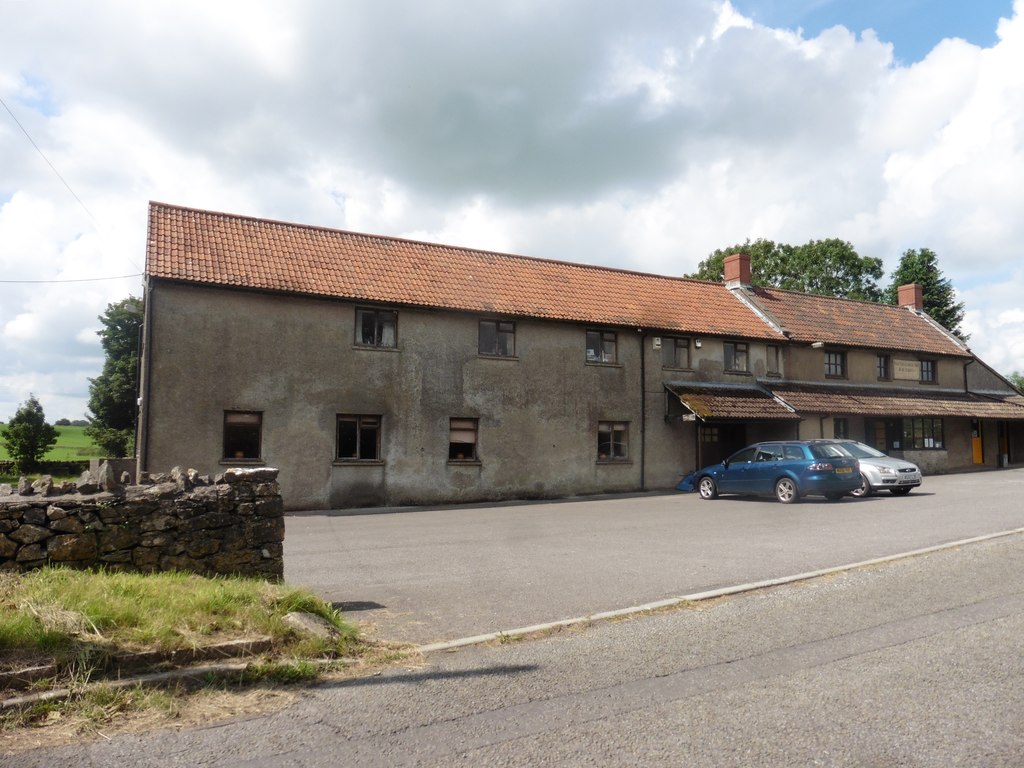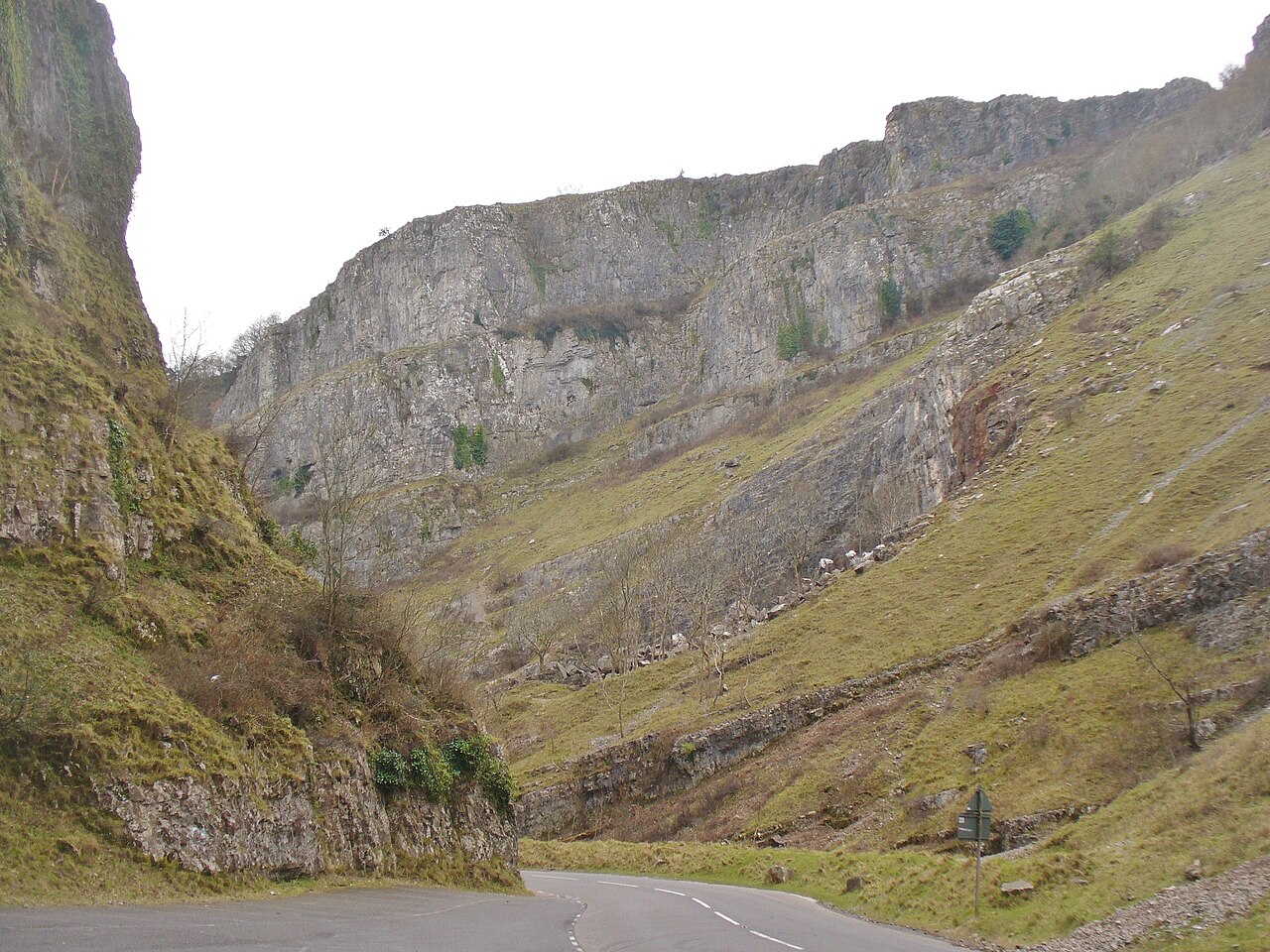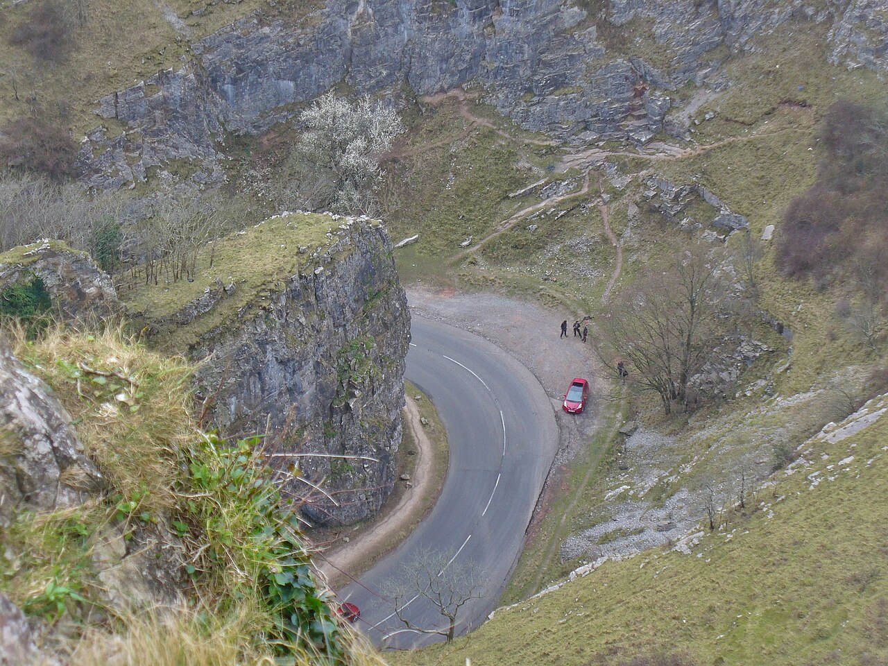
Cheddar Gorge - geograph.org.uk - 5265630

Routes / Somerset

The B3135 through Cheddar Gorge

Scenic road B3135 Cheddar to Green Ore

Distance9.9mi
Drive time20min
Summit282m
Total climb433m
Limits30–50mph
RegionSomerset

Scenic road Slower, narrower and more scenic. Rough in places, so not the best for low, stiff performance cars.

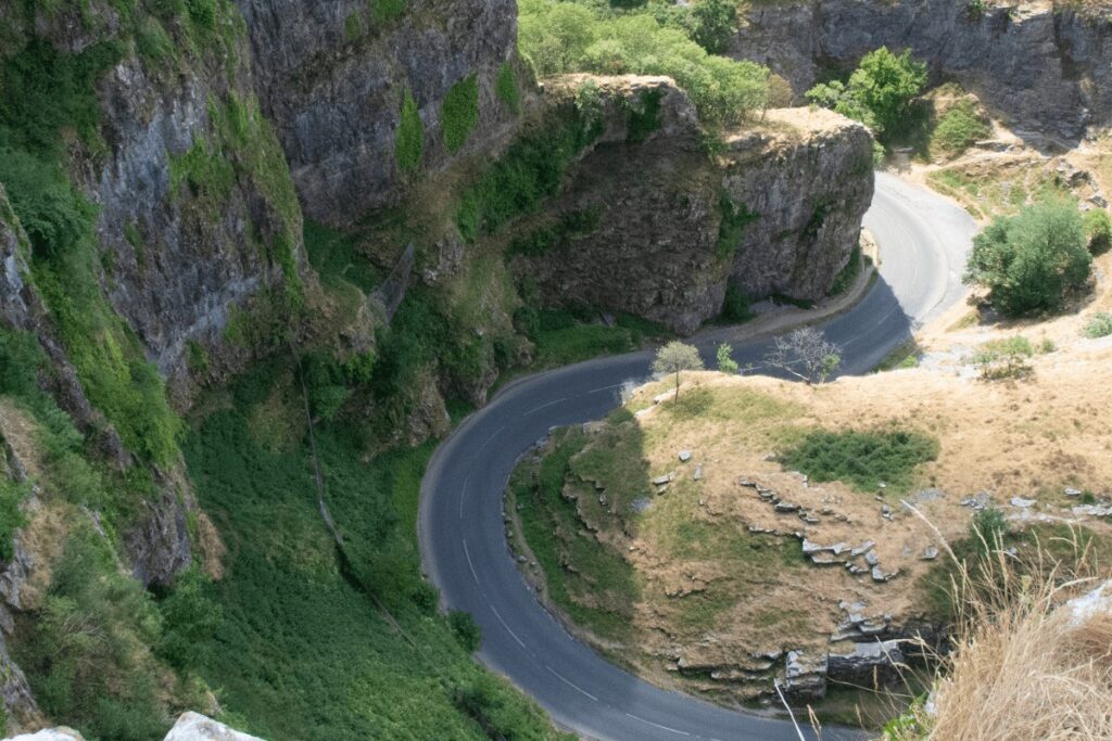
From the foot of Cheddar village the B3135 turns straight into the gorge, and within a few hundred yards the limestone walls close in on both sides, rising some 400 feet above the road. It is the deepest gorge in England, and there is nothing else like it on this side of the Severn.

The road winds up the floor of the gorge in a run of tight bends under the Pinnacles, then breaks out at Black Rock onto the high plateau. From there the character changes completely: a fast, open B road across the top of the Mendips, past the turn for Priddy and over the dry stone country to the A39 at Green Ore. Climb it early in the morning, before the village wakes, and you will have the gorge almost to yourself.

Good to know

  1. 01
    The lower gorge is narrow, with pavements, parked cars and visitors on foot in season. Take it gently until Black Rock.
  2. 02
    Feral goats and Soay sheep live on the cliffs and often stand in the road.
  3. 03
    Cyclists climb the gorge in numbers at weekends, so expect to wait for a safe place to pass.
  4. 04
    Gough's Cave, where Cheddar Man was found, is at the foot of the gorge.

Photo: Cheddar Gorge – geograph.org.uk – 5265630 by Colin Smith, CC BY-SA 2.0

The climb

11 m to 282 m · summit at 7.0 mi
Start · 0 miFinish · 9.9 mi

Up top today

Forecast at the summit, 282 m · updated 04:21
Take care

Rain on the top

Best between 15:00 and 17:00. Take the high section gently outside it.

Now
Rain
Air
7°C
Wind
16mph SW
Road
Wet
Golden hour · This morning

07:10to08:28

Sunrise 07:40 · Likely lost in cloud
  1. Today Take care 7–10°C · wind to 17 mph · 3 mm rain · rain
  2. Tomorrow Take care 4–9°C · wind to 7 mph · 1 mm rain · thick fog
  3. Friday Good day 5–7°C · wind to 11 mph · dry

Forecast from MET Norway, refreshed hourly. Mountain weather turns fast: check before you set off.

The live map

Turns, cameras, viewpoints and stops along the road

Quick answers

How long is The B3135 through Cheddar Gorge?
The B3135 through Cheddar Gorge is 9.9 miles from Cheddar to Green Ore and takes about 20 minutes to drive without stopping.
How high does The B3135 through Cheddar Gorge go?
It reaches 282 metres (925 feet) at its highest point, with 433 metres of climbing along the way.
What is the speed limit on The B3135 through Cheddar Gorge?
Limits along the route are 30–50 mph. Always follow the signs on the road, as Welsh limits can change.
What kind of car suits The B3135 through Cheddar Gorge?
We class it as a Scenic road. Slower, narrower and more scenic. Rough in places, so not the best for low, stiff performance cars.
Where should I stay near The B3135 through Cheddar Gorge?
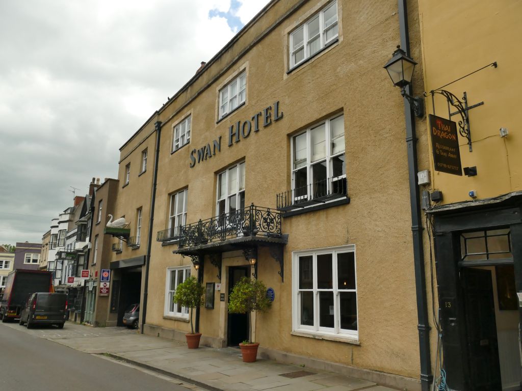
The graded hotels we would choose near this road are The Bath Arms, The Litton and The Swan Hotel.

Read more about this road

The Logbook →

Graded hotels within easy reach of the road, the four and five stars first.

Stop along the way

All stops on the map →
Cheddar Gorge - geograph.org.uk - 5265638
Next road · Somerset

The Mendip loop

Cheddar, Priddy and Wells · 20.1 mi Drive it next →