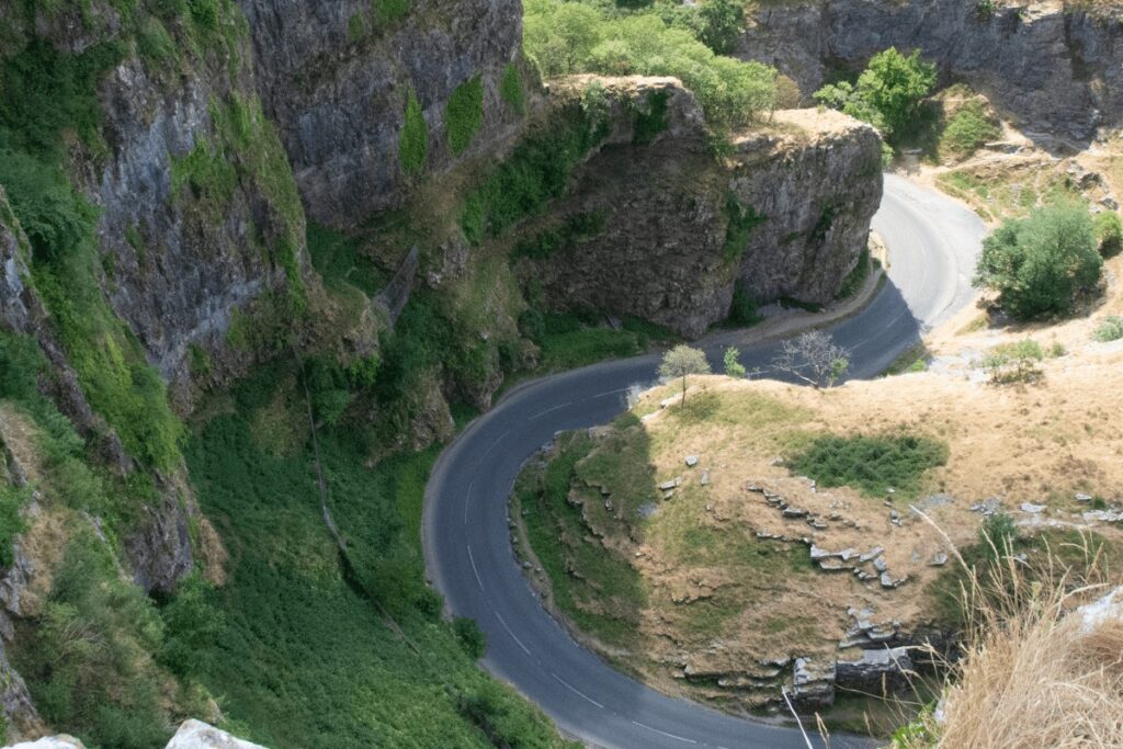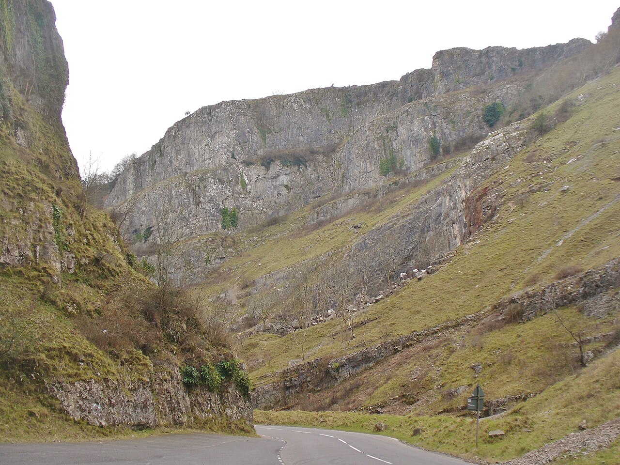
Cheddar Gorge - geograph.org.uk - 5265638

Routes / Somerset

The Mendip loop

Scenic road A371 Cheddar, Priddy and Wells

Distance20.1mi
Drive time40min
Summit278m
Total climb584m
Limits30–60mph
RegionSomerset

Scenic road Slower, narrower and more scenic. Rough in places, so not the best for low, stiff performance cars.

This is the round of the Mendips: up Cheddar Gorge, across the high plateau and down the far side to Wells, England's smallest city, before running back west along the southern foot of the hills.

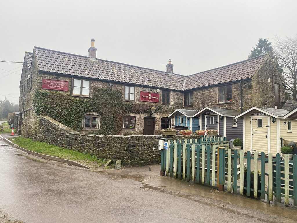
Priddy, said to be the highest village in Somerset, sits on the plateau around its green, with the Queen Victoria Inn and the Hunters Lodge for a stop. From there the lanes drop past Ebbor Gorge to Wookey Hole and into Wells, where the cathedral is worth the walk. The return on the A371 is easy and flowing, with the Somerset Levels spread out to the south and the strawberry fields of Draycott below the escarpment.

Good to know

  1. 01
    The lanes between Priddy and Wookey Hole are narrow, with passing places. Expect to reverse now and then.
  2. 02
    Wells has pay and display parking a short walk from the cathedral and the market place.
  3. 03
    Do the loop the other way round in the evening for the light on the gorge cliffs.

Photo: Cheddar Gorge – geograph.org.uk – 5265638 by Colin Smith, CC BY-SA 2.0

The climb

7 m to 278 m · summit at 5.9 mi
Start · 0 miFinish · 20.1 mi

Up top today

Forecast at the summit, 278 m · updated 04:20
Take care

Rain on the top

Best between 15:00 and 17:00. Take the high section gently outside it.

Now
Rain
Air
7°C
Wind
16mph SW
Road
Wet
Golden hour · This morning

07:10to08:28

Sunrise 07:40 · Likely lost in cloud
  1. Today Take care 7–10°C · wind to 17 mph · 3 mm rain · rain
  2. Tomorrow Take care 4–9°C · wind to 7 mph · 1 mm rain · thick fog
  3. Friday Good day 5–7°C · wind to 11 mph · dry

Forecast from MET Norway, refreshed hourly. Mountain weather turns fast: check before you set off.

The live map

Turns, cameras, viewpoints and stops along the road

Quick answers

How long is The Mendip loop?
The Mendip loop is 20.1 miles and takes about 40 minutes to drive without stopping.
How high does The Mendip loop go?
It reaches 278 metres (912 feet) at its highest point, with 584 metres of climbing along the way.
What is the speed limit on The Mendip loop?
Limits along the route are 30–60 mph. Always follow the signs on the road, as Welsh limits can change.
What kind of car suits The Mendip loop?
We class it as a Scenic road. Slower, narrower and more scenic. Rough in places, so not the best for low, stiff performance cars.
Where should I stay near The Mendip loop?
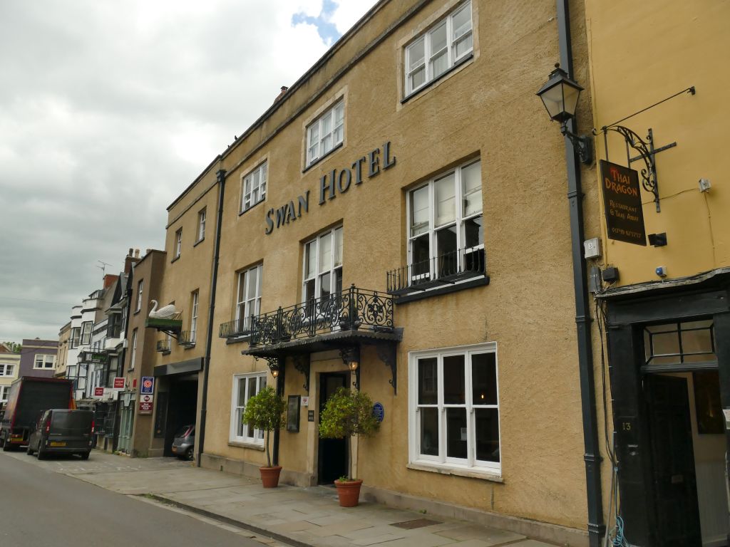
The graded hotels we would choose near this road are The Bath Arms, The Swan Hotel and The Litton.

Read more about this road

The Logbook →

Graded hotels within easy reach of the road, the four and five stars first.

Stop along the way

All stops on the map →
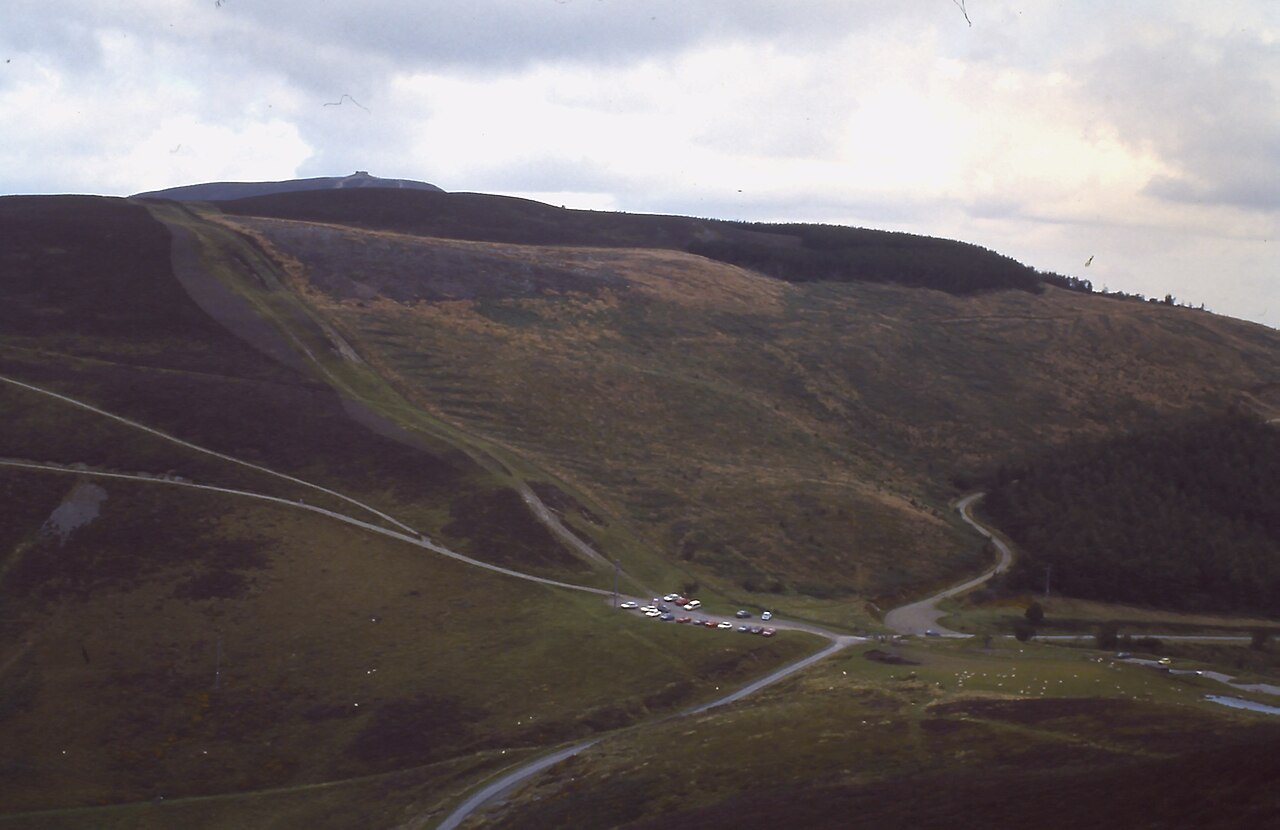
Bwlch Penbarras - geograph.org.uk - 1943604
Next road · North Wales

Bwlch Penbarras and the Clwydian Range

Ruthin to Tafarn-y-Gelyn · 5.5 mi Drive it next →