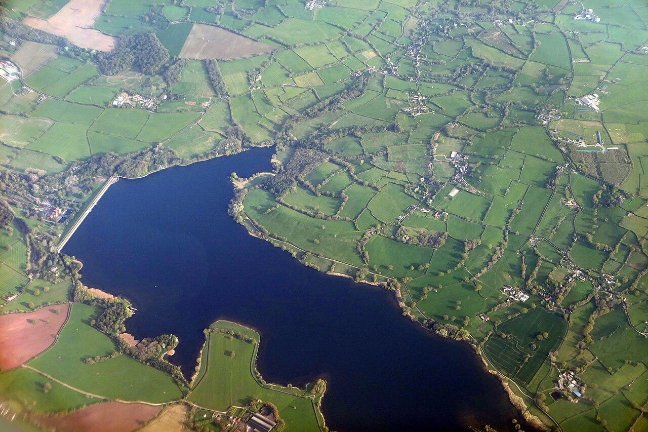
Blagdon Lake 2

Routes / Somerset

The A368 under the Mendips

Driving road A368 Churchill to Bishop Sutton

Distance10.5mi
Drive time20min
Summit119m
Total climb259m
Limits30–60mph
RegionSomerset

Driving road Built for driving: well surfaced and rewarding behind the wheel.

The A368 traces the northern foot of the Mendips from Churchill to the Chew Valley, with the hills rising steeply on one side and the long view over North Somerset on the other.

It is a road of open, sweeping bends between the villages: Burrington, where the combe climbs away to the south, then Blagdon above its lake, Compton Martin with its pond, and West Harptree. Beyond, the road runs along the southern side of Chew Valley Lake to Bishop Sutton. It pairs perfectly with Burrington Combe or Cheddar Gorge for a full morning in the hills.

Good to know

  1. 01
    Each village has its own lower limit and the road narrows through Compton Martin, so keep the pace for the open stretches.
  2. 02
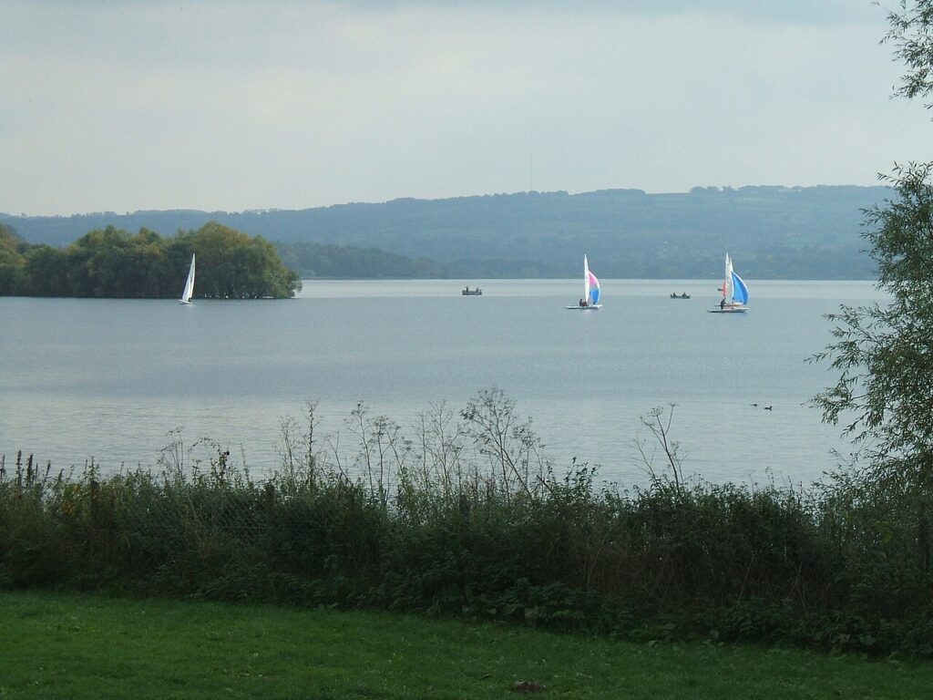
    Blagdon and Chew Valley lakes are famous for trout fishing, with lakeside parking and tea rooms.
  3. 03
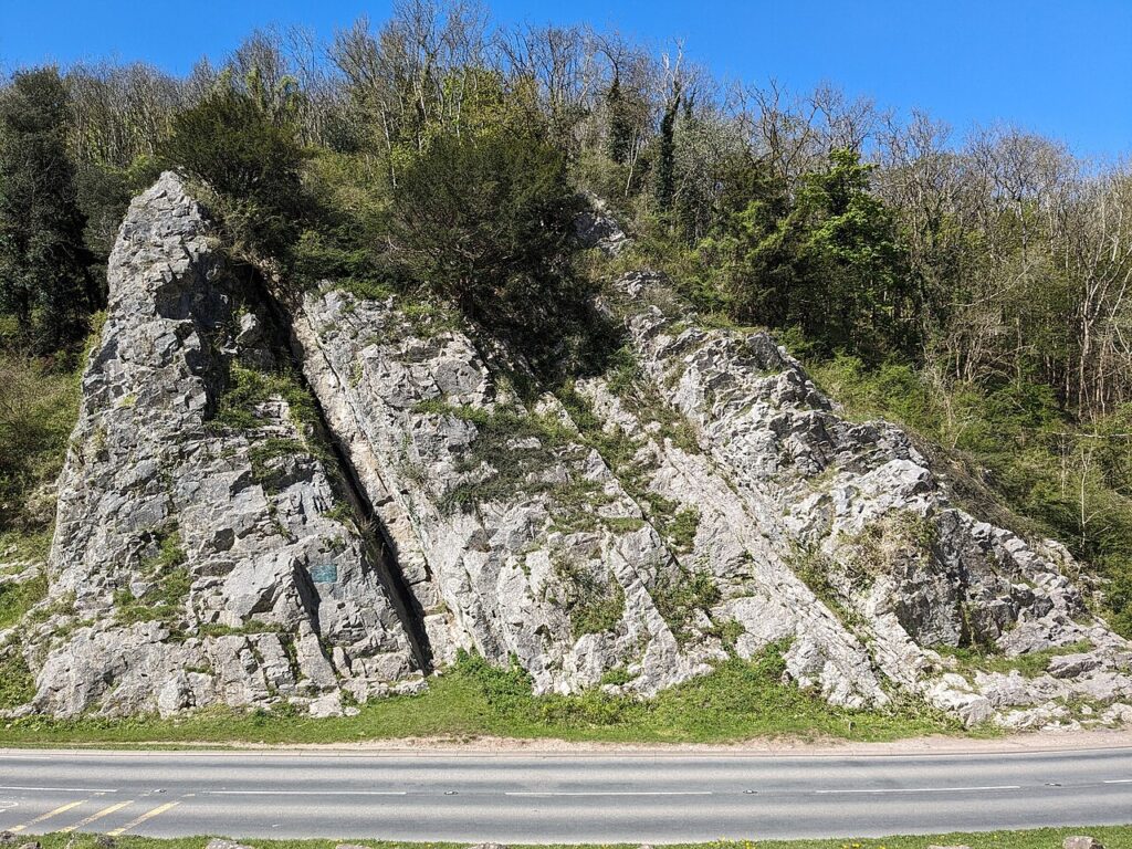
    Turn up the B3134 at Burrington for Burrington Combe and the top of the Mendips.

Photo: Blagdon Lake 2 by Adam Cli, CC BY-SA 4.0
The climb

36 m to 119 m · summit at 4.0 mi
Start · 0 miFinish · 10.5 mi

Up top today

Forecast at the summit, 119 m · updated 04:21
Take care

Rain on the top

Best between 15:00 and 17:00. Take the high section gently outside it.

Now
Rain
Air
8°C
Wind
16mph SW
Road
Wet
Golden hour · This morning

07:12to08:28

Sunrise 07:40 · Likely lost in cloud
  1. Today Take care 8–11°C · wind to 17 mph · 3 mm rain · rain
  2. Tomorrow Take care 5–10°C · wind to 7 mph · 1 mm rain · thick fog
  3. Friday Good day 6–8°C · wind to 11 mph · dry

Forecast from MET Norway, refreshed hourly. Mountain weather turns fast: check before you set off.

The live map

Turns, cameras, viewpoints and stops along the road

Quick answers

How long is The A368 under the Mendips?
The A368 under the Mendips is 10.5 miles from Churchill to Bishop Sutton and takes about 20 minutes to drive without stopping.
How high does The A368 under the Mendips go?
It reaches 119 metres (390 feet) at its highest point, with 259 metres of climbing along the way.
What is the speed limit on The A368 under the Mendips?
Limits along the route are 30–60 mph. Always follow the signs on the road, as Welsh limits can change.
What kind of car suits The A368 under the Mendips?
We class it as a Driving road. Built for driving: well surfaced and rewarding behind the wheel.
Where should I stay near The A368 under the Mendips?
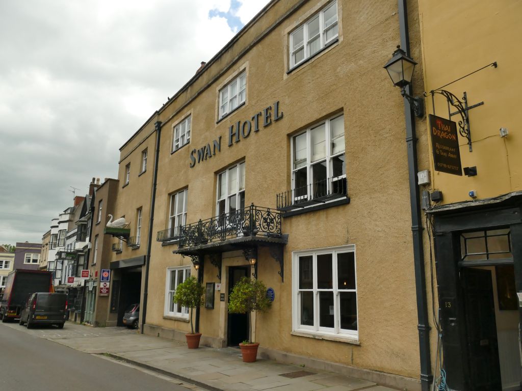
The graded hotels we would choose near this road are The Litton, The Bath Arms and The Swan Hotel.

Graded hotels within easy reach of the road, the four and five stars first.

Stop along the way

All stops on the map →
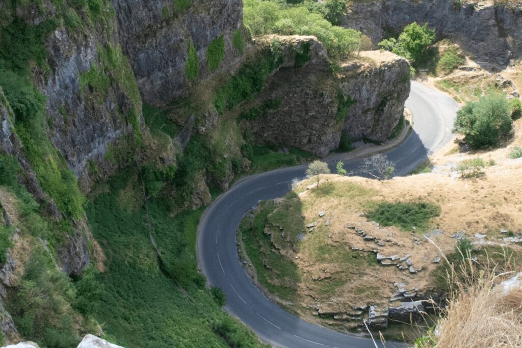
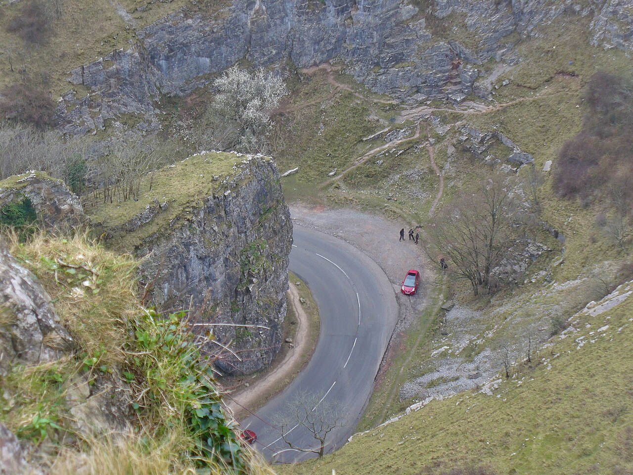
Cheddar Gorge - geograph.org.uk - 5265630
Next road · Somerset

The B3135 through Cheddar Gorge

Cheddar to Green Ore · 9.9 mi Drive it next →