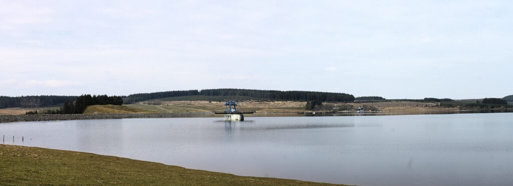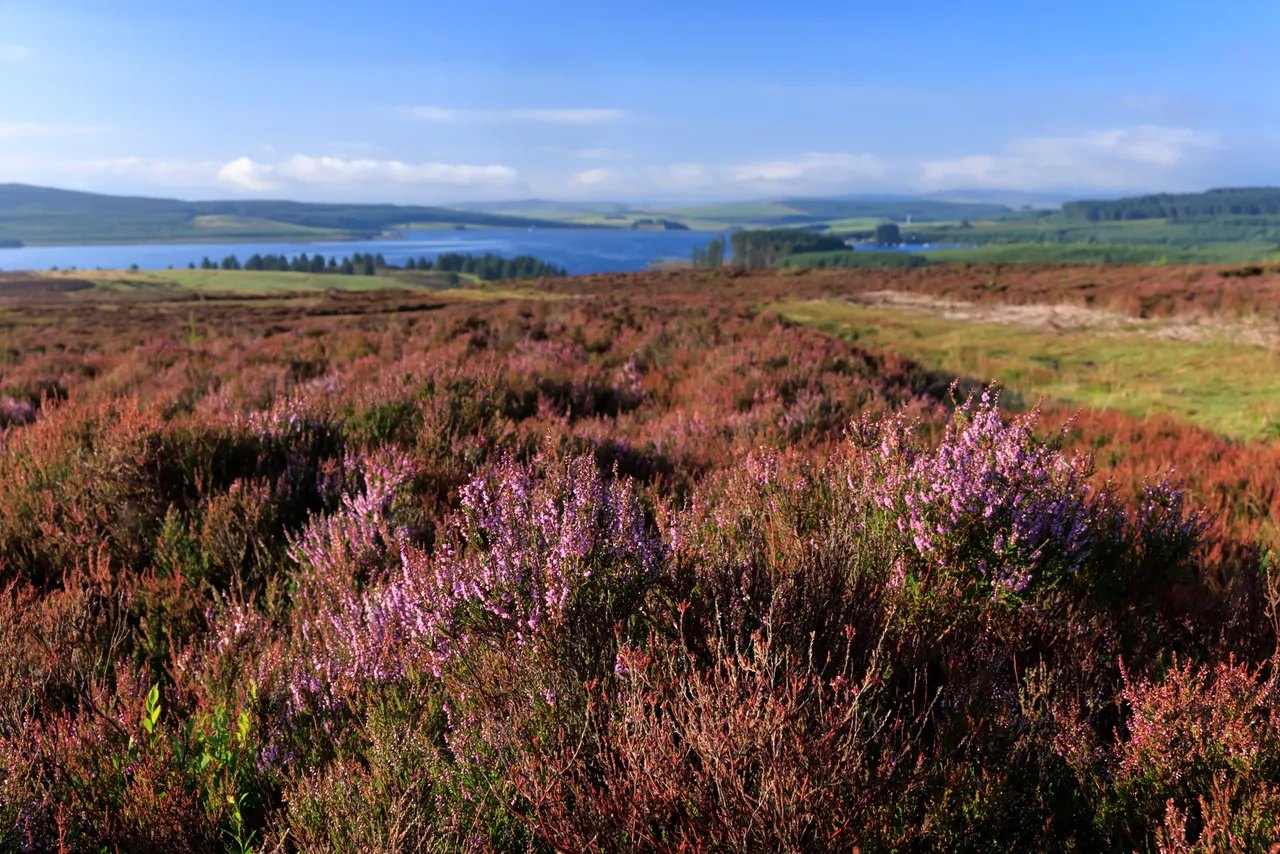
Heather at Gors Maen Llwyd above Llyn Brenig

Routes / North Wales

The Evo Triangle (A5, B4501, A543)

Driving road Pentrefoelas, Cerrigydrudion and the Denbigh Moors

Distance23.0mi
Drive time45min
Summit464m
Total climb630m
Limits30–60mph
RegionNorth

Driving road Built for driving: well surfaced and rewarding behind the wheel.

The Evo Triangle is a 23.0 mile lap of three roads on the Conwy and Denbighshire border: the A5 from Pentrefoelas to Cerrigydrudion, the B4501 north past Llyn Brenig, and the A543 back across the Denbigh Moors. Evo magazine made it famous as a test route, and it now has average speed cameras, so this is a road to enjoy for its scenery and flow.

You will see it quoted at 20 miles, and that is the figure Visit Wales uses. Local reports have said 21. None of them says where the measurement starts. Ours follows the whole line and returns to the same point in Pentrefoelas: roughly 6 miles on the A5, 9 on the B4501 and 8 on the A543. Use 23 for fuel and timing.

The cameras are the fact most older write-ups miss. In October 2018 the Welsh Government put £500,000 into the scheme, starting on the A543, the side with the worst collision record, and funding the design of a second and final phase. A 2021 Road Safety GB session with GoSafe and North Wales Police, sponsored by the camera supplier, described nearly 40 km of cameras across the three roads. It reported casualties on the A543 down 63%, and no injuries in the first year of enforcement on the B4501, against six the year before. We would treat all three sides as enforced.

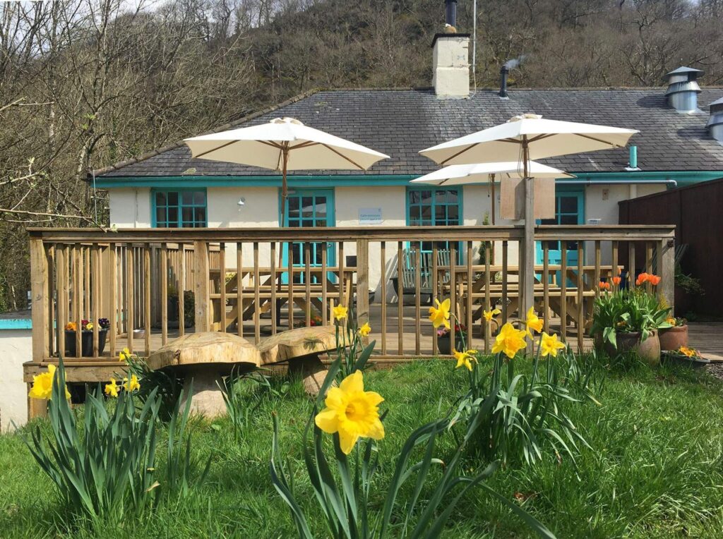
We would take it in the order above, with the moor and the 464 m high point coming about 16 miles in. Pull in at the Llyn Brenig visitor centre on the B4501 for the café and to let the brakes cool. Rhug Estate Farm Shop on the A5 near Corwen is the place for lunch, and GYG Karting is on the A5 as well if you want to drive hard somewhere legal. One lap is enough: people live along this road, and dangerous driving here is what brought the cameras.

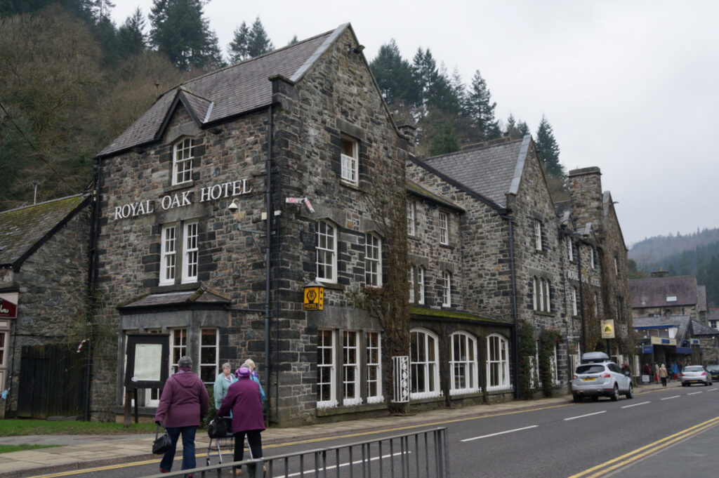
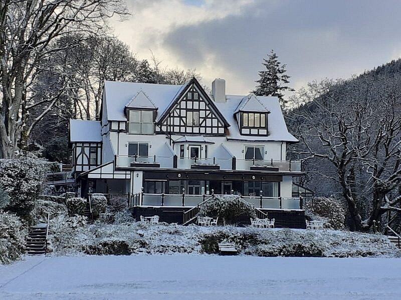
All three hotels we would choose are in Betws-y-Coed, about 7 miles and 15 minutes along the A5 from Pentrefoelas: Craig-y-Dderwen, the Gwydyr and the Royal Oak. The Ogwen valley and the Llanberis Pass carry on from the same door, and the Migneint is close by.

Good to know

  1. 01
    Average speed cameras read your number plate at fixed points and work out your speed between them. Slowing down for a single camera does nothing, so hold the signed limit all the way round.
  2. 02
    Sheep graze the unfenced moorland. Expect them on the road.
  3. 03
    Our fuel map shows two forecourts at Cerrigydrudion on the A5 and nothing on the B4501 or A543. The nearest alternative is the Shell at Betws-y-Coed. Check opening hours if you are relying on the village.
  4. 04
    In winter the A5 is a trunk road, so Traffic Wales reports it. The moor roads are gritted by the councils, so ask Conwy or Denbighshire if snow is about, and look at the summit forecast on this page first.

Photo: Heather at Gors Maen Llwyd above Llyn Brenig, © Crown copyright, Visit Wales
The climb

201 m to 464 m · summit at 15.9 mi
Start · 0 miFinish · 23.0 mi

Up top today

Forecast at the summit, 464 m · updated 04:20
Take care

Damp roads on the top

Best between 07:00 and 12:00. Take the high section gently outside it.

Now
Fair
Air
5°C
Wind
9mph SW
Road
Dry
Golden hour · This morning

07:20to08:42

Sunrise 07:52 · Likely lost in cloud
  1. Today Take care 5–8°C · wind to 13 mph · 1 mm rain · damp roads
  2. Tomorrow Give it a miss 2–5°C · wind to 10 mph · dry · thick fog
  3. Friday Take care 2–5°C · wind to 10 mph · dry · frost in the shade

Forecast from MET Norway, refreshed hourly. Mountain weather turns fast: check before you set off.

The live map

Turns, cameras, viewpoints and stops along the road

Quick answers

How long is The Evo Triangle (A5, B4501, A543)?
The Evo Triangle (A5, B4501, A543) is 23.0 miles and takes about 45 minutes to drive without stopping.
How high does The Evo Triangle (A5, B4501, A543) go?
It reaches 464 metres (1,522 feet) at its highest point, with 630 metres of climbing along the way.
What is the speed limit on The Evo Triangle (A5, B4501, A543)?
Limits along the route are 30–60 mph. Always follow the signs on the road, as Welsh limits can change.
What kind of car suits The Evo Triangle (A5, B4501, A543)?
We class it as a Driving road. Built for driving: well surfaced and rewarding behind the wheel.
Where should I stay near The Evo Triangle (A5, B4501, A543)?
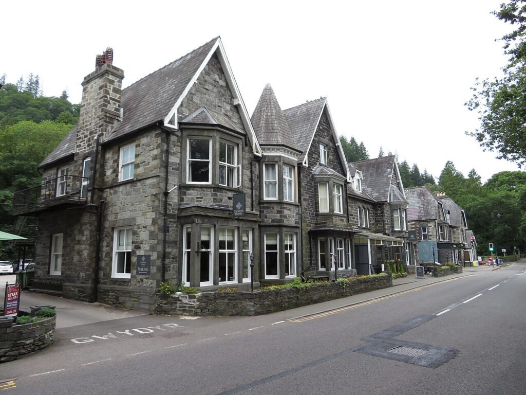
The graded hotels we would choose near this road are Craig-y-Dderwen Riverside Hotel, Gwydyr Hotel and The Royal Oak Hotel, Betws-y-Coed.
Are there speed cameras on the Evo Triangle?
Yes. The route has average speed cameras, funded by the Welsh Government from 2018 and starting on the A543. A 2021 industry session with GoSafe described nearly 40 km of cover across the A5, A543 and B4501.
Why is it called the Evo Triangle?
It is named after Evo magazine, which used these three roads to test and photograph cars. The name has stuck, and the Welsh Government now uses it too.
Which roads make up the Evo Triangle?
The A5 between Pentrefoelas and Cerrigydrudion, the B4501 north past Llyn Brenig, and the A543 back across the Denbigh Moors.
Is the Evo Triangle 20 miles or 23 miles?
Our line measures 23.0 miles from Pentrefoelas and back to the same point. Visit Wales rounds it to 20 miles and local reports have said 21, without saying where they start.
Where can I get fuel on the Evo Triangle?
Our fuel map shows forecourts at Cerrigydrudion on the A5 side and none on the B4501 or A543. Betws-y-Coed, about 7 miles west of Pentrefoelas, is the other option.

Read more about this road

The Logbook →

Graded hotels within easy reach of the road, the four and five stars first.

Stop along the way

All stops on the map →
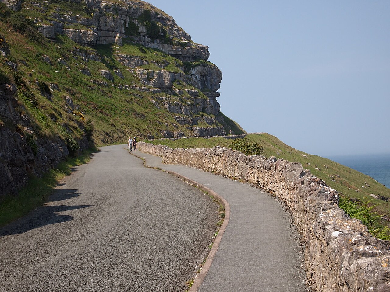
Marine Drive, Great Orme - geograph.org.uk - 4998652
Next road · North Wales

The Great Orme and the Conwy valley

Llandudno to Betws-y-Coed · 26.2 mi Drive it next →