The Black Mountain Pass: Brynamman to Llangadog

Routes / South Wales

The Black Mountain Pass ‘Top Gear Road’ (A4069)

Driving road A4069 Brynamman to Llangadog

Distance12.5mi
Drive time25min
Summit494m
Total climb362m
Limits30–40mph
RegionSouth

Driving road Built for driving: well surfaced and rewarding behind the wheel.

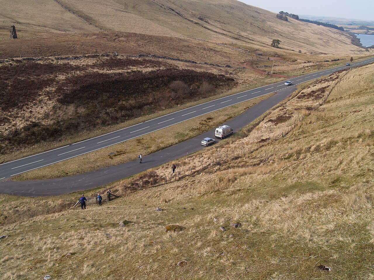
The Black Mountain Pass, the Top Gear Road, is the 12.5 mile stretch of the A4069 between Brynamman and Llangadog. It crosses the western end of Bannau Brycheiniog (the Brecon Beacons), tops out at 494 m and is now covered by average speed cameras.

That 12.5 miles is the mountain section, from the last of Brynamman to the first of Llangadog. Other guides measure further along the same road: the RAC and Visit Wales both call it about 20 miles, and Dangerous Roads gives 14.8 from Glanamman. The A4069 itself runs on at both ends. None of these figures is wrong, but only this one is the pass.

The name people ask about is Tro Gwcw, the Cuckoo Turn, the big hairpin that the RAC calls the most famous part of the road. Visit Wales recommends driving north to south for it, and we agree, even though our line is drawn the other way. Heading south from Llangadog you climb through farmland, cross the open top past the old quarries, then drop down the escarpment with the bends laid out below you. The car parks on top are the place to stop for the view. Do not stop on the hairpin.

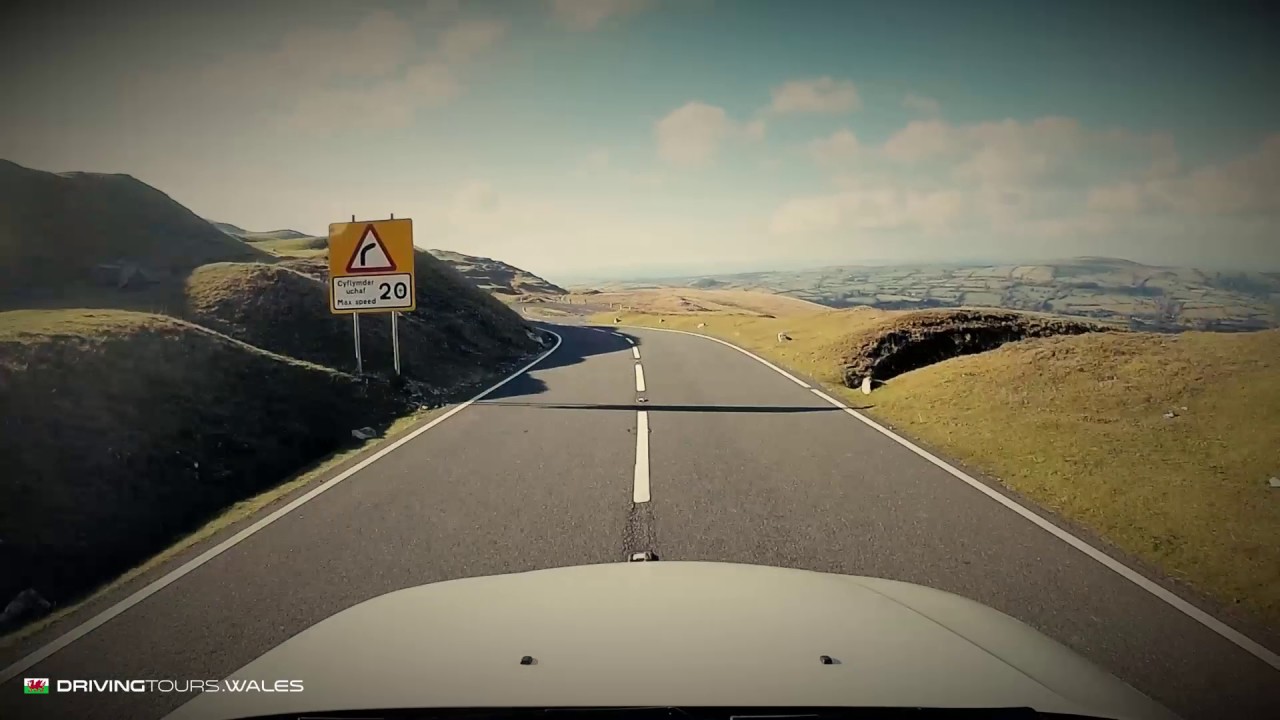
The Top Gear link is the reason for the nickname, but sources disagree on the date (the RAC says 2008, others 2011), so we leave the year out. The film on this page is our own dash-cam run along this section, shown at a faster speed.

The cameras are official. Carmarthenshire County Council’s contracts register lists average speed cameras along the A4069 between Llangadog and Brynamman, and GoSafe announced enforcement from 15 January 2024. The RAC reports a 40 mph limit enforced by average speed cameras between Brynamman and Llangadog, with 30 in the villages. The signs set the limit, so read them on the way in and hold that speed all the way across.

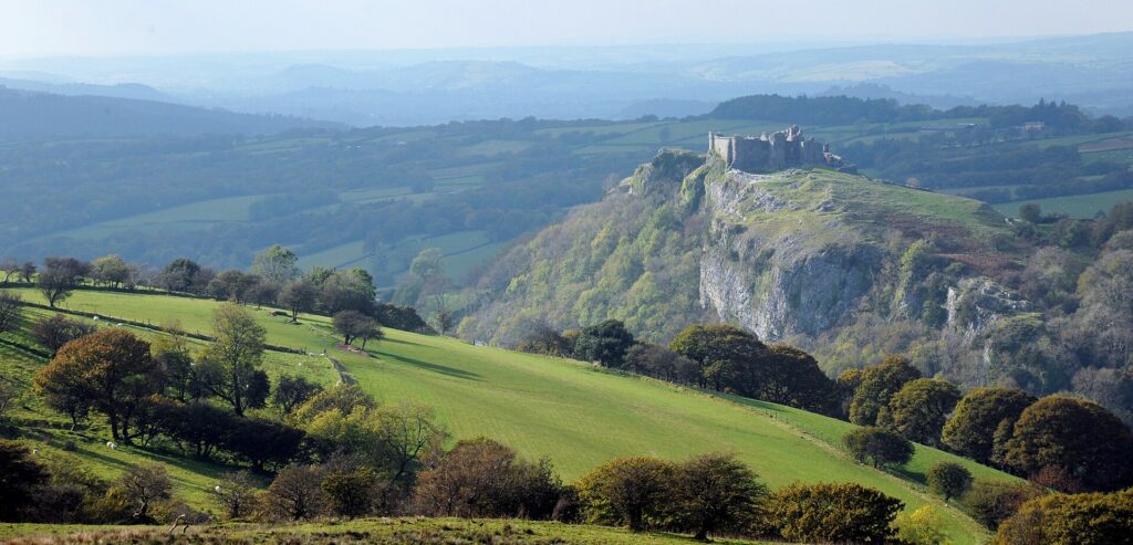
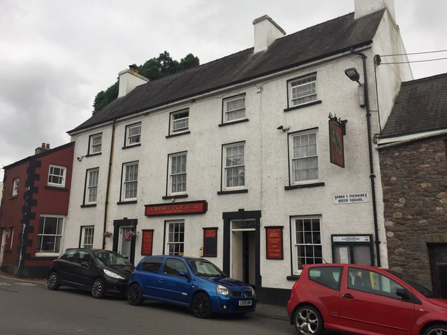
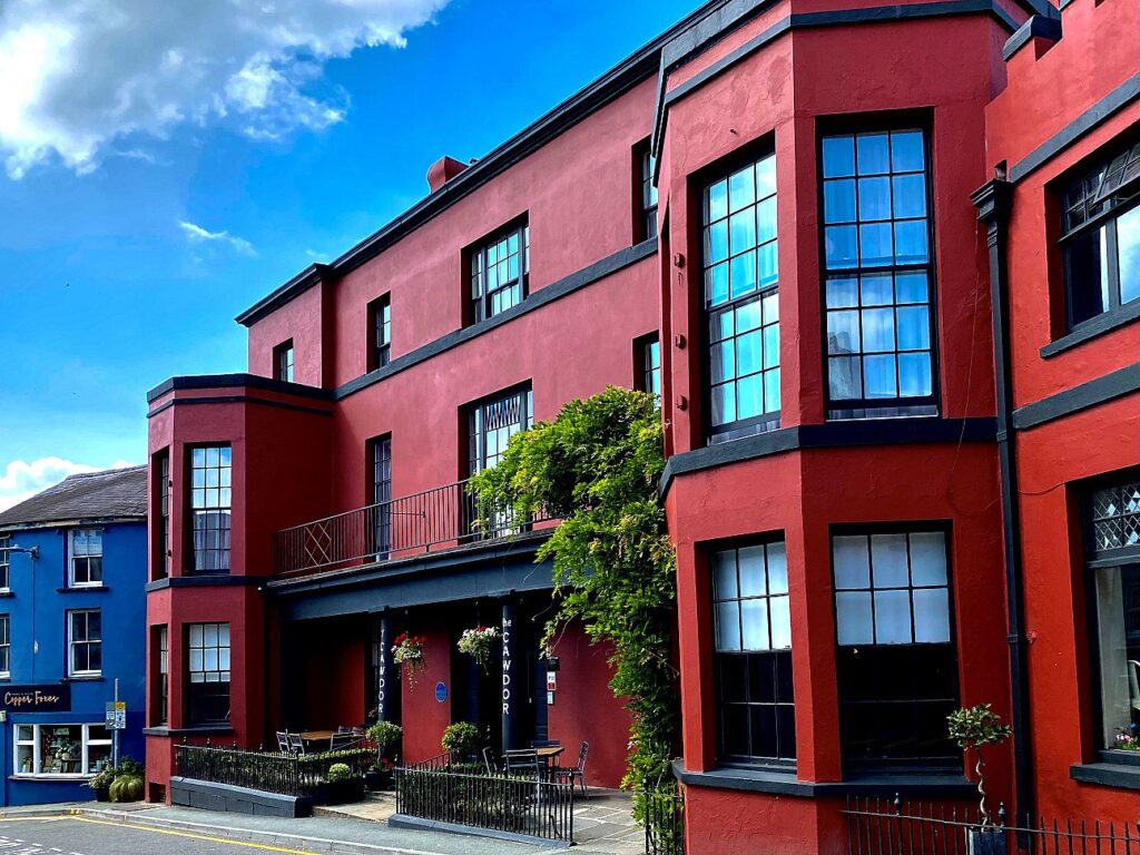
At the Llangadog end, Y Castell on Queens Square holds 2 AA Rosettes. We would stay at The Cawdor in Llandeilo, about 7 miles and 15 minutes away. Carreg Cennen Castle is just west of the route, and the Cray road, the A4067, is the next pass to the east.

Good to know

  1. 01
    The road is unfenced on the top. Sheep, ponies and cattle wander across it.
  2. 02
    Mist comes in fast, and the top sits at 494 m. Check the summit forecast on this page, and take it steady if the cloud drops.
  3. 03
    Our fuel map shows a Texaco at Brynamman and a service station at Manordeilo, just beyond Llangadog, with nothing on the mountain itself. There is no rapid charger listed within 7 miles of the road.
  4. 04
    This is a county road, so winter gritting and closures sit with Carmarthenshire County Council, not Traffic Wales. If snow is forecast, ask the council before you set off.
  5. 05
    Carreg Cennen Castle is a short detour west of the pass and well worth it. Llyn y Fan Fach, under the Carmarthen Fans, is close too.

Filmed by Driving Tours Wales. All speed limits were observed during filming; the playback is sped up to make it more watchable. Please drive safely and within the law.
The climb

45 m to 494 m · summit at 3.4 mi
Start · 0 miFinish · 12.5 mi

Up top today

Forecast at the summit, 494 m · updated 04:07
Take care

Rain on the top

Drive it, but take the high section gently.

Now
Heavy rain
Air
6°C
Wind
12mph SW
Road
Wet
Golden hour · This morning

07:18to08:36

Sunrise 07:48 · Likely lost in cloud
  1. Today Take care 5–8°C · wind to 16 mph · 10 mm rain · rain
  2. Tomorrow Take care 3–7°C · wind to 7 mph · 3 mm rain · thick fog
  3. Friday Take care 4–5°C · wind to 12 mph · dry · damp roads

Forecast from MET Norway, refreshed hourly. Mountain weather turns fast: check before you set off.

The live map

The film, turns, cameras and stops along the road

Quick answers

How long is The Black Mountain Pass ‘Top Gear Road’ (A4069)?
The Black Mountain Pass ‘Top Gear Road’ (A4069) is 12.5 miles from Brynamman to Llangadog and takes about 25 minutes to drive without stopping.
How high does The Black Mountain Pass ‘Top Gear Road’ (A4069) go?
It reaches 494 metres (1,621 feet) at its highest point, with 362 metres of climbing along the way.
What is the speed limit on The Black Mountain Pass ‘Top Gear Road’ (A4069)?
Limits along the route are 30–40 mph. Always follow the signs on the road, as Welsh limits can change.
What kind of car suits The Black Mountain Pass ‘Top Gear Road’ (A4069)?
We class it as a Driving road. Built for driving: well surfaced and rewarding behind the wheel.
Where should I stay near The Black Mountain Pass ‘Top Gear Road’ (A4069)?
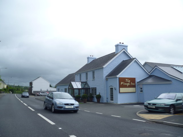
The graded hotels we would choose near this road are The Plough, Rhosmaen, The Cawdor and Morgans Hotel.
Why is the A4069 called the Top Gear Road?
The BBC show filmed on the A4069 over the Black Mountain, and the nickname stuck. Sources disagree on the year, with 2008 and 2011 both quoted.
Are there speed cameras on the Black Mountain Pass?
Yes. Carmarthenshire County Council commissioned average speed cameras between Llangadog and Brynamman, and GoSafe announced enforcement from 15 January 2024.
What is Tro Gwcw?
Tro Gwcw, the Cuckoo Turn, is the famous hairpin on the A4069. Visit Wales suggests driving the road north to south to get the most from it.
Which is the best direction to drive the Black Mountain Pass?
We would go north to south, Llangadog to Brynamman, as Visit Wales also suggests. You cross the top first and then drop down the escarpment with the bends in view.
Why do people say the Black Mountain Pass is 20 miles?
They are measuring more of the A4069 than the pass itself. The mountain section between Brynamman and Llangadog is 12.5 miles on our line.

Read more about this road

The Logbook →

Graded hotels within easy reach of the road, the four and five stars first.

Stop along the way

All stops on the map →
Lay by A4067 - geograph.org.uk - 1802373
Next road · South Wales

The Cray and the upper Tawe

Sennybridge to Ystradgynlais · 16.6 mi Drive it next →