The A44 is the old way from Worcester into Mid Wales, and this is its first half: 47.2 miles from the western edge of Worcester to Llanfihangel Nant Melan, where the A481 turns off for Builth Wells. It is an A road all the way, through orchard country, two market towns and the black and white villages of north Herefordshire, and it climbs from the Teme valley to 304 m on our line on the south side of the Radnor Forest. When the road was first numbered in 1923 it ran from Chipping Norton to Aberystwyth, and it still runs on to the coast.
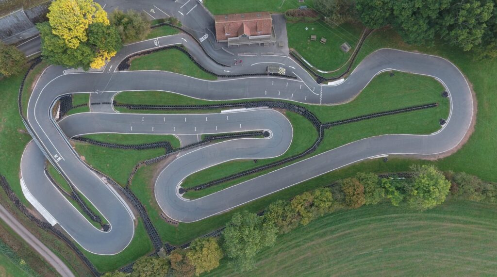
West of Worcester the road follows the River Teme past Broadwas to Knightwick, crosses into Herefordshire and climbs over Bringsty Common, about 200 m on our line. It skirts Bromyard, a town of half-timbered buildings and a Norman church in the valley of the River Frome, then runs west over the downs to Bredenbury, at 250 m on our line the highest point before Wales, and down to the River Lugg. Shelsley Walsh, the oldest motorsport venue in the world still running on its original course, is a short drive north of Knightwick.
At Leominster the A44 meets the A49 bypass and turns through the middle of the town rather than round it. West of it the road bypasses Monkland and the south side of Eardisland, on the Black and White Village Trail of half-timbered villages, then runs straight through Pembridge in the Arrow valley. Past the orchards it reaches Lyonshall and Offa’s Dyke, and bypasses Kington on the trackbed of the old Leominster and Kington Railway.
The Welsh border follows the River Arrow a few miles on. Through Walton the road passes New Radnor, once the county town of Radnorshire and a planned medieval town with its streets laid out in a grid, under the hills of the Radnor Forest. Despite the name it is open upland, forest in the medieval sense of land set aside for hunting, rising to 660 m at Rhos Fawr. Just past New Radnor a track off the A44 leads to the Water-break-its-neck waterfall, and the road then turns south and climbs to Llanfihangel Nant Melan, whose church is one of four to St Michael said to ring the forest to keep in the last dragon in Wales.
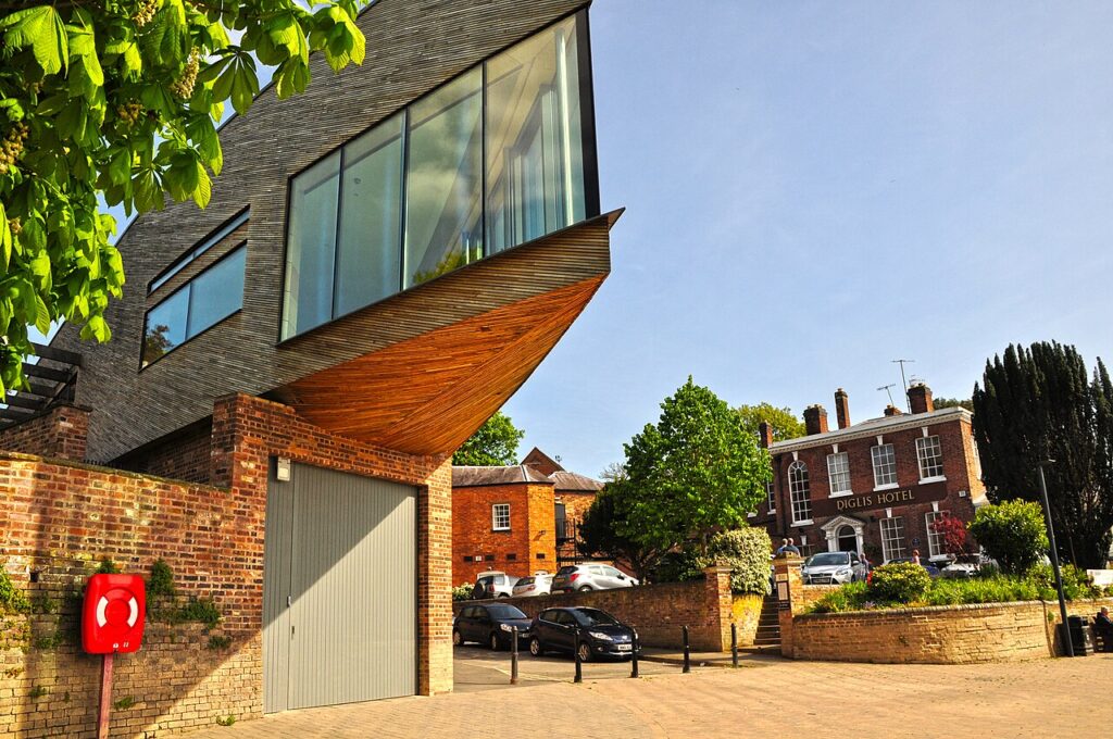
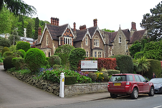
The OK Diner sits on the A44 at Leominster, and the Shobdon Airfield Café is a few minutes north of Pembridge. At the Worcester end, stay at Bank House Hotel or Diglis House Hotel. To carry on west to the sea, take the A481 to Builth Wells, the A470 up the Wye to Llangurig and the A44 over Pumlumon to Aberystwyth.
Good to know
- 01A main road with lorries and farm traffic, and few places to overtake between the towns. Overtake only where it’s clear.
- 02The A44 goes through the centre of Leominster, so allow a few minutes for the town traffic.
- 03At Llanfihangel Nant Melan the A481 turns south for Builth Wells; the A44 carries on north west over the hill to Penybont, Crossgates and Rhayader.
- 04Over the border, closures and roadworks on the A44 are on Traffic Wales.
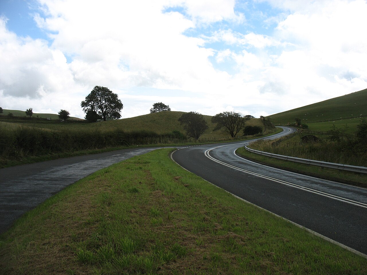
Photo: The A44 heading for New Radnor – geograph.org.uk – 5494423 by David Purchase, CC BY-SA 2.0